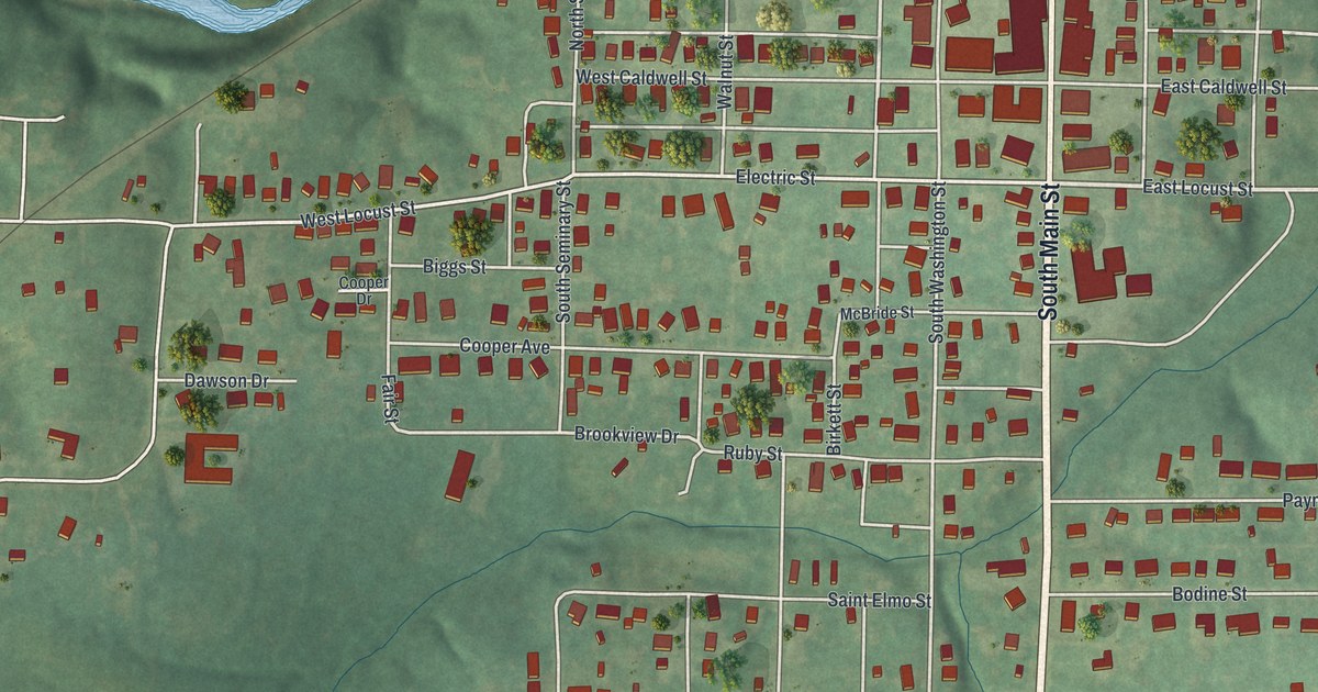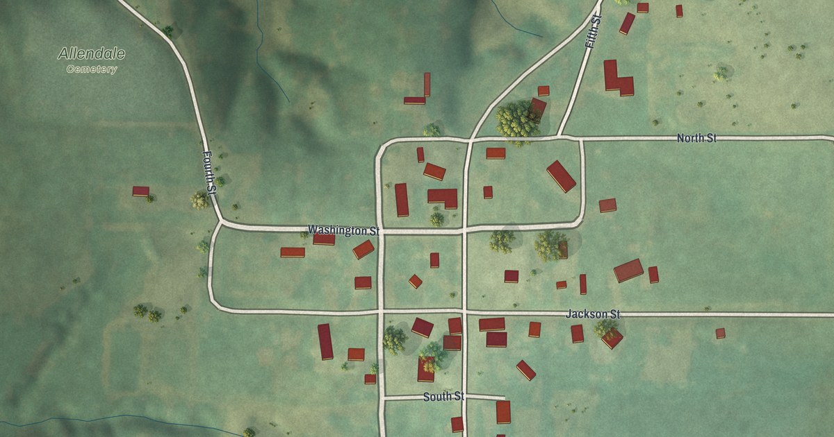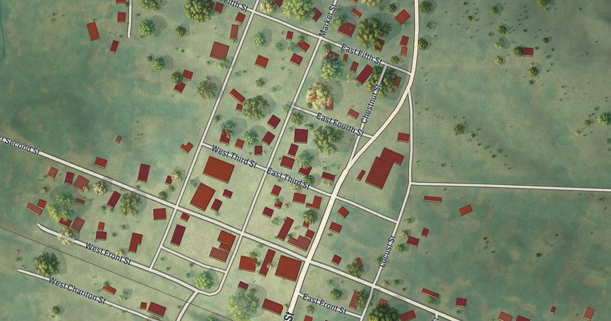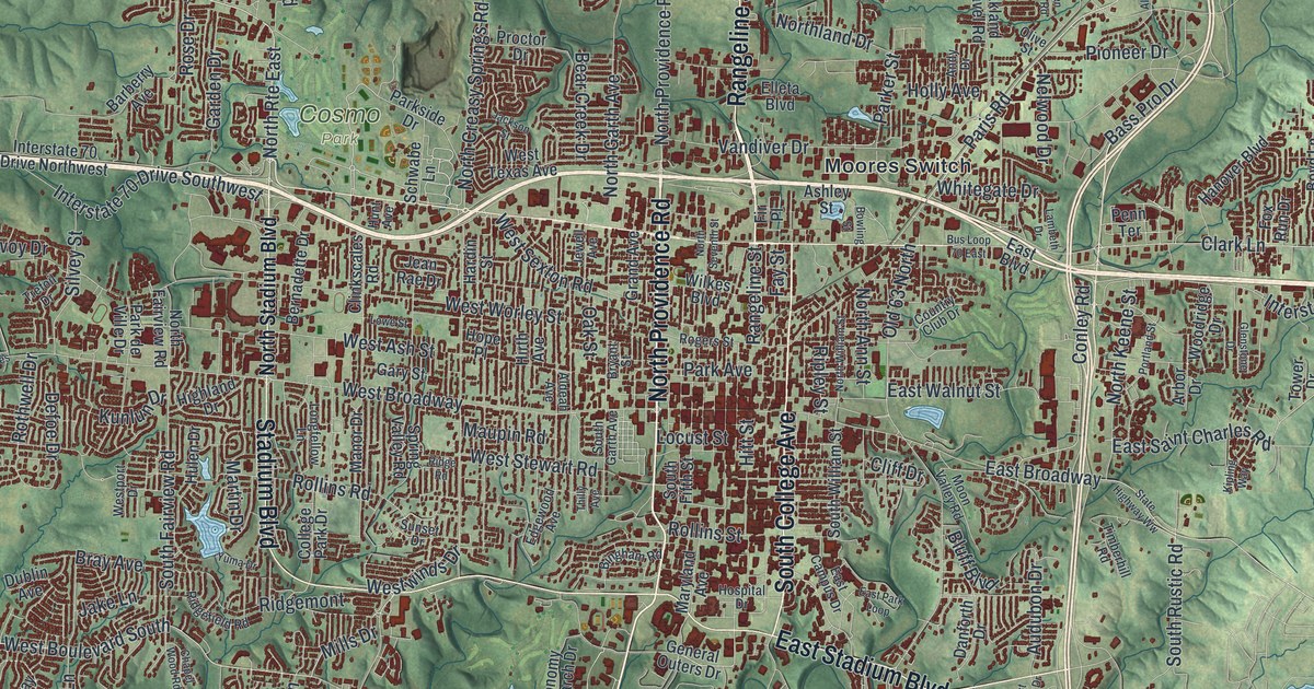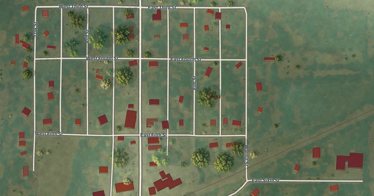
If you grew up on Main Street or one of the numbered streets in Cowgill, this map shows the town you know. It's a modern aerial view of Cowgill in Caldwell County, Missouri, made with modern data and given a vintage feel. The streets are drawn in white and the buildings in red. Wide farm fields spread out on every side in soft greens, and a rail line cuts across the town on a slant.
The streets of Cowgill, from Van Trump Avenue to Division Street
On this map you'll find Main Street, Van Trump Avenue, Maple Street, Walnut Street, Oak Street, Elm Street, Ash Street, Willow Street, Pine Street, Cramer Street, Mc Can Street, Kavanaugh, West First Street, East Third Street, Division Street, and more. Each red shape is a building, so zoom in on the preview and look for yours.
Cowgill's First National Bank in 1923
Cowgill is a small city. The Census Bureau counted 168 people here in 2020. In a 1923 history of Clinton and Caldwell counties, the writers took note of Cowgill's bank. They said the town had one bank, the First National Bank. It had been doing business for several years by then. The book called it a conservative and reliable banking institution. Main Street runs down the middle of the map, and the town's grid of streets fills in on both sides of it.
Past the last houses, the land opens up. Big squares of farm field in light and dark green cover most of the sheet. Low ground to the west shows where small creeks wind through. The shading of the land comes from USGS elevation data, so the gentle rise and fall of the ground shows up across the print.
Keeping Main Street in Cowgill close
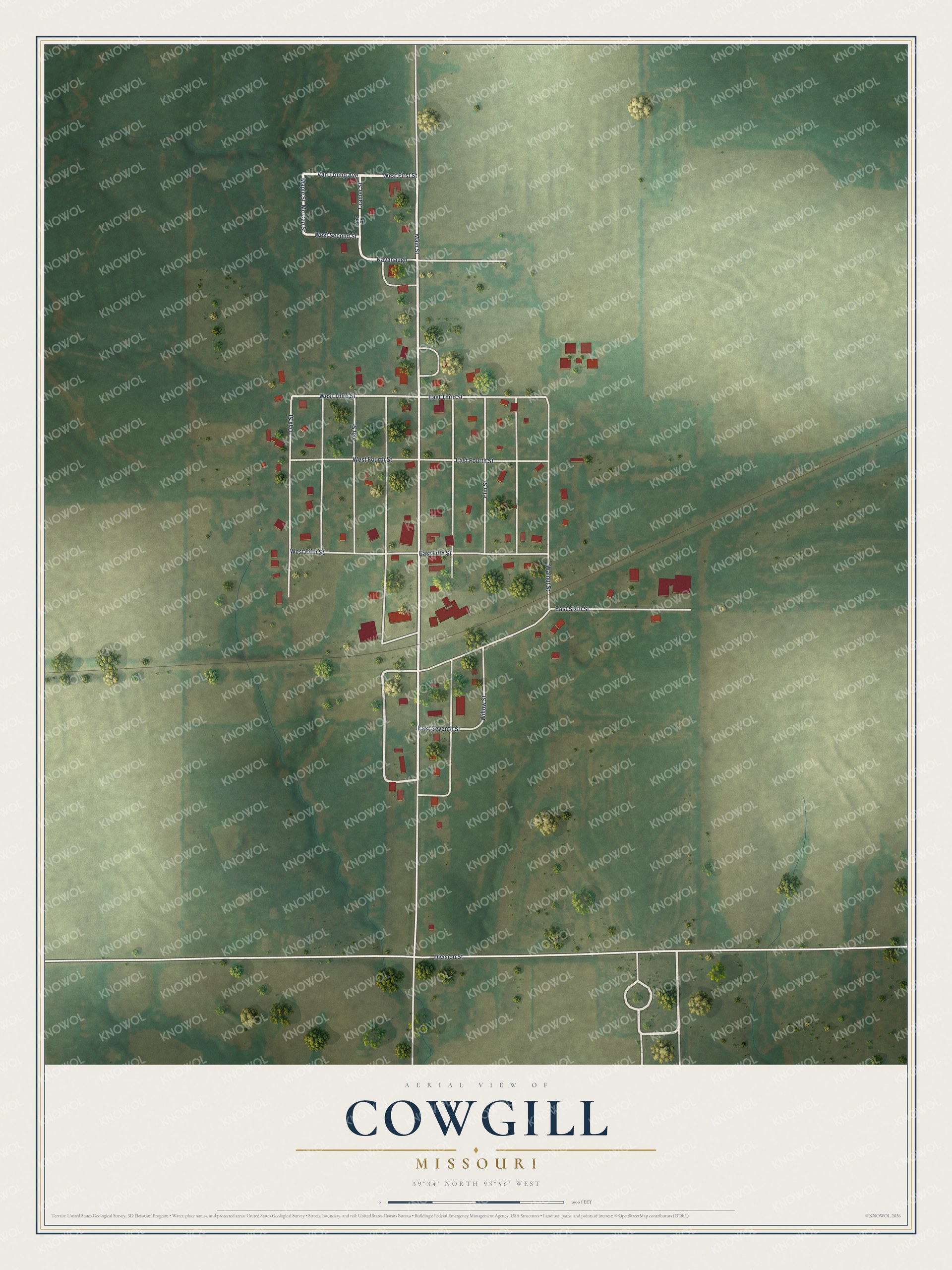
Created by KNOWOL in 2026, the print shows Cowgill from above, with white streets, red buildings and green shaded fields around the town. The title panel reads "Aerial View of Cowgill, Missouri" with the coordinates 39°34' North 93°56' West.
It fits a living room, a kitchen or a front hallway. It's a good gift for someone who grew up near Main Street and moved away, or for a family with roots in Caldwell County. Open the preview and find your own street. See sizes and frames for the Cowgill map.