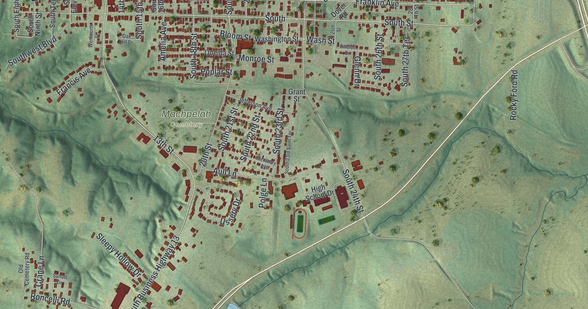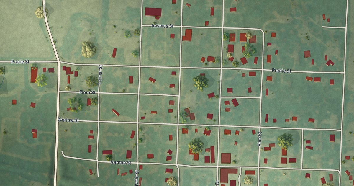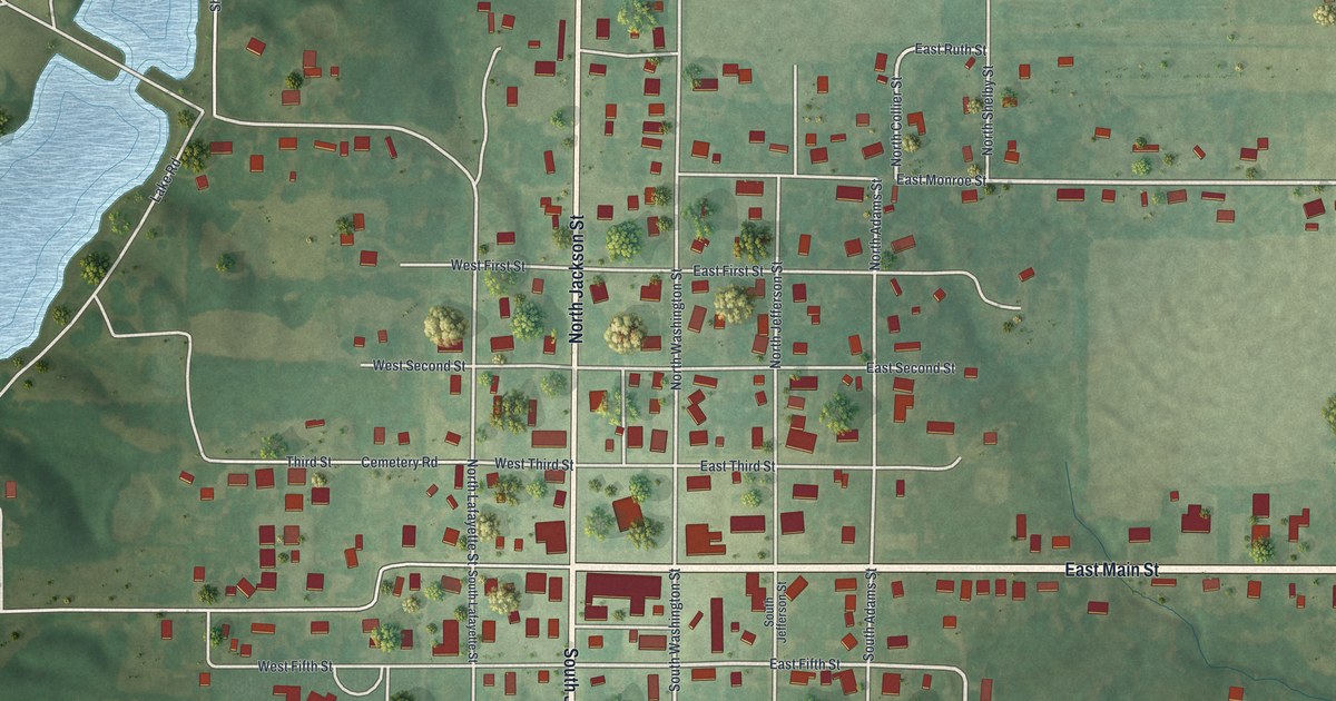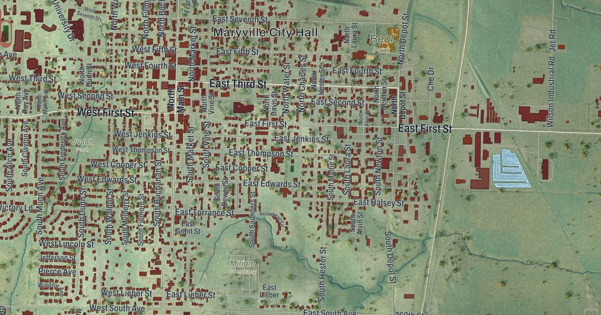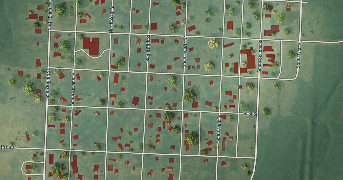
If you grew up on the numbered streets of Deepwater, or your family still lives in town, this map is for you. It's a new aerial view of Deepwater in Henry County, Missouri, built from modern data and given a vintage look. The town's grid of streets fills the middle of the sheet. Around it you'll see open fields, rows of trees and thin blue creeks winding through the low ground.
The first settlers on Deepwater Creek
On this map you'll find North First Street, South First Street, North Second Street, South Third Street, South Fifth Street, North Eighth Street, Grove Street, North Street, East Street, Southwest 101 Road, Southwest 51 Road, Sherwood Avenue, Green Meadows Lane, Carriage Lane, and more. Each red shape is a building, so zoom in on the preview and look for yours.
The History of Henry County, Missouri, printed in 1919, tells how this part of the county was settled. The first settlement on Deepwater Creek came in 1835. It was made by a man named Morris. Mr. Shelton came next, and the Greggs followed in 1837. William McCown and William Tyree arrived in 1839. In July 1840, the county court made a new township called Deepwater. It was split off from Grand River township. At first it covered much more land. It held all of today's Deepwater, Walker and Bear Creek townships, plus parts of others.
The first wedding in Deepwater township
That same year, John Schmedding married Elizabeth Walbert. He had been living with her and her brother, Henry Walbert. The Reverend Asa Jones led the ceremony. The book calls it the first wedding in the southeast part of Henry County. The house stood inside what's now Deepwater township. Look past the streets on the map and you'll see thin blue creeks still cutting through the fields, the kind of land those first families settled.
Deepwater's streets, from First to Eighth
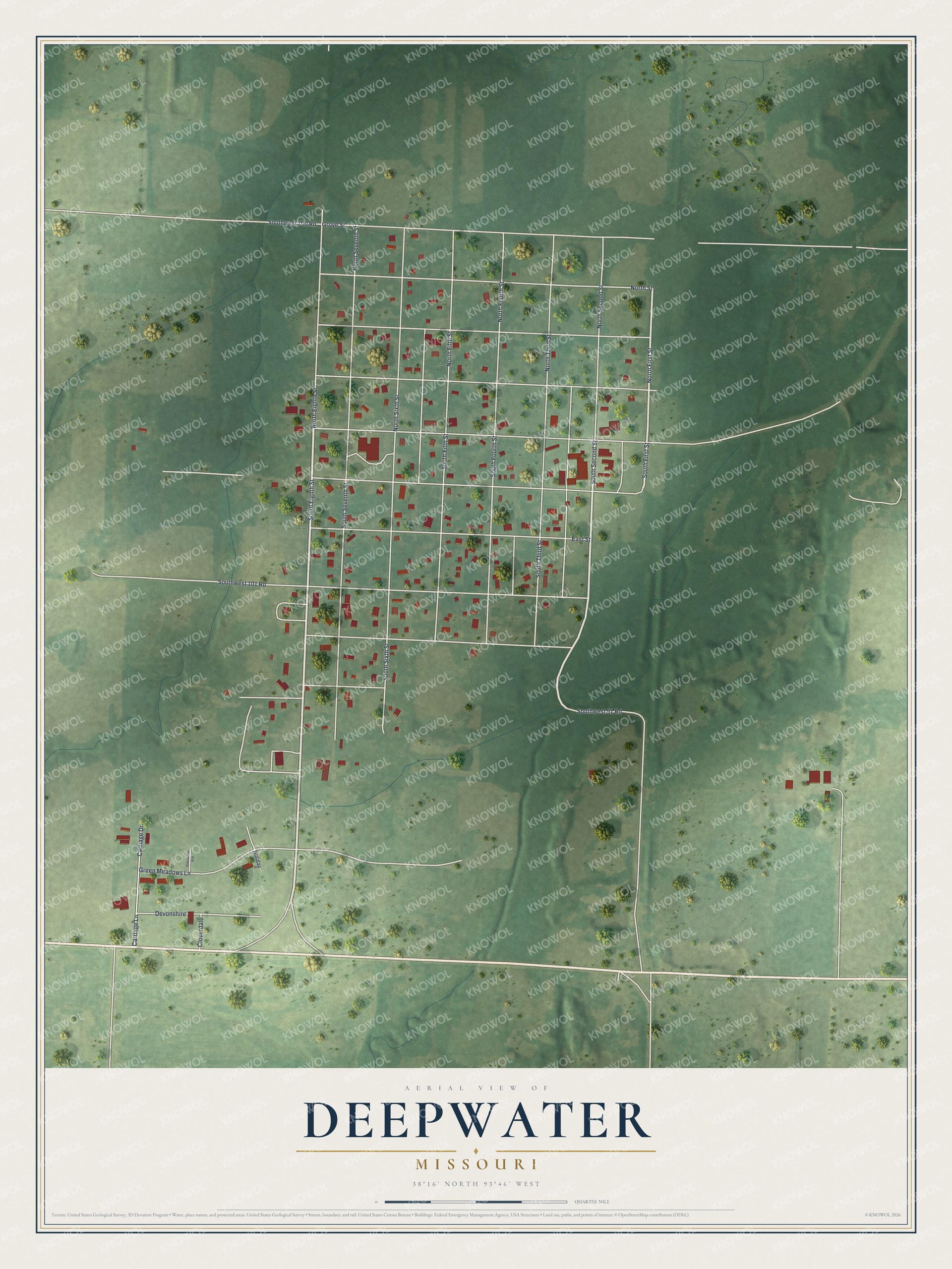
Created by KNOWOL in 2026, this print shows Deepwater from above in soft greens, with red building shapes, pale roads and gently shaded land from USGS elevation data. The title panel reads "Aerial View of Deepwater, Missouri" with the coordinates 38°16' North 93°46' West.
It fits well in a kitchen, a den, a hallway or an office. It's a good gift for someone who grew up on North First Street or Grove Street, or for family who moved away from Henry County. Open the preview and find the streets you know. See sizes and frames for the Deepwater map.