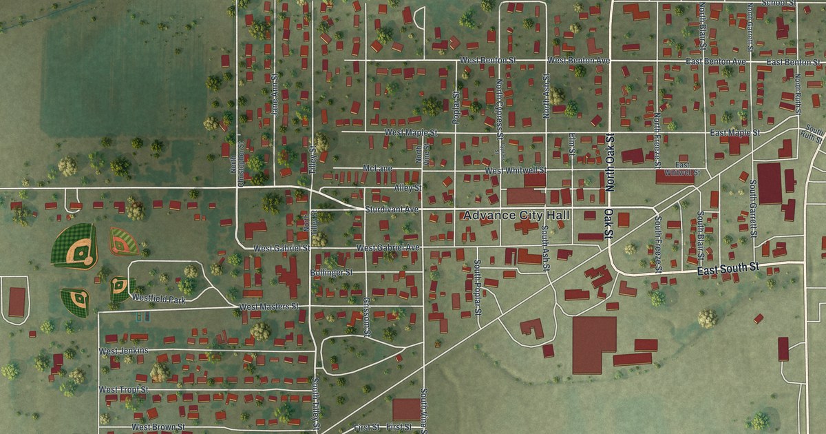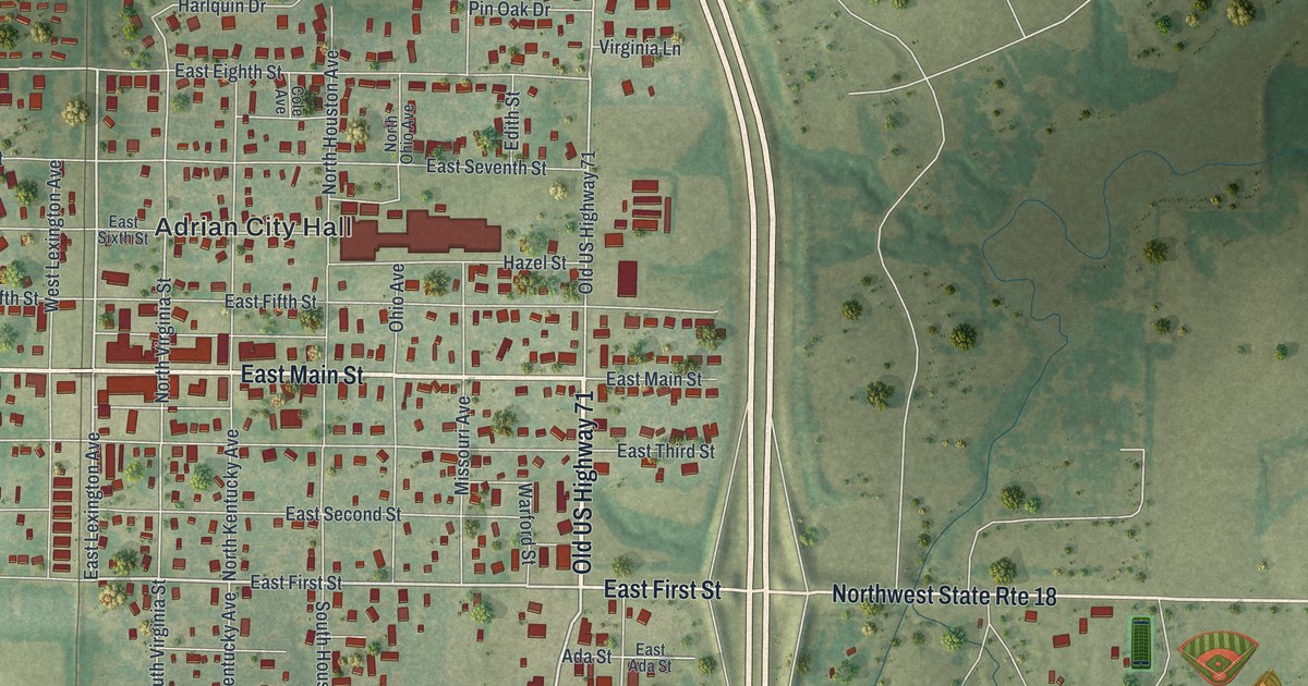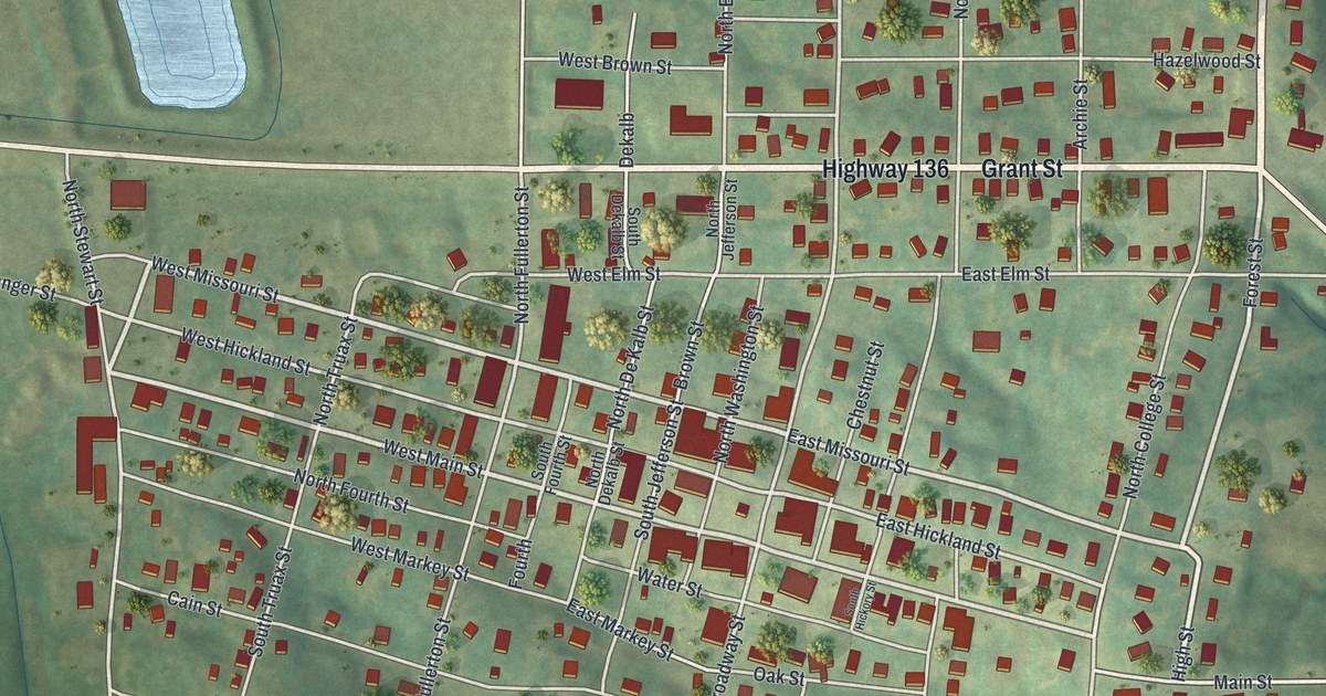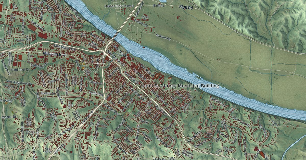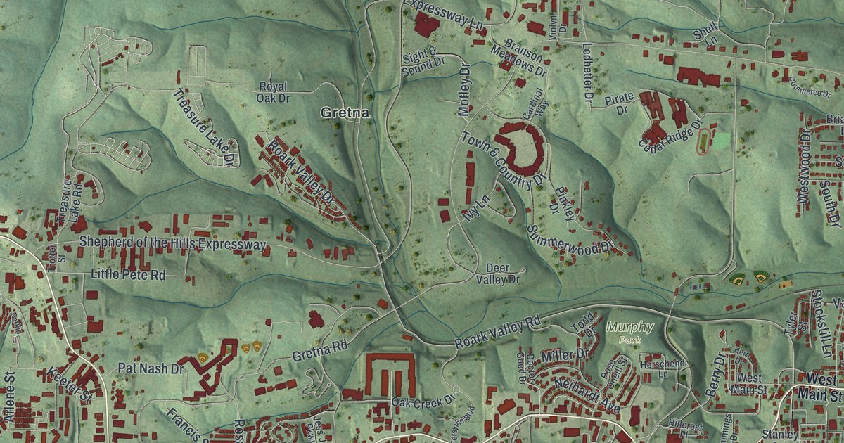
If you grew up in Branson, or you've driven West 76 Country Boulevard more times than you can count, this map is for you. It's a modern aerial view of Branson in Taney County, Missouri, made from modern data and given a vintage feel. Green hills fold across the whole sheet. A winding blue river curls past the east side of town, and a wide blue lake fills the lower left corner. Red shapes mark more than 10,000 buildings, packed tight near the river and spread along the hills to the west.
From Table Rock to West Main Street
On this map you'll find West 76 Country Boulevard, West Main Street, Shepherd of the Hills Expressway, Branson Landing Boulevard, Fall Creek Road, Gretna Road, Roark Valley Road, Green Mountain Drive, Branson Hills Parkway, Bee Creek Road, Boxcar Willie Drive, Table Rock, Gretna, the Ruth and Paul Henning Conservation Area, and more. Each red shape is a building, so zoom in on the preview and look for yours.
How Branson got its name
The name on this map goes back to a post office. The State Historical Society of Missouri keeps an old file of Missouri place names, gathered from 1928 to 1945. It ties the town's name to Branson, the first postmaster, in 1881. You can see that name all over the sheet today. It's in big letters on the title panel. It's also in Branson Hills Parkway, Branson Landing Boulevard and Branson Meadows Drive.
The town's past is kept in other ways, too. In 1993, the Branson City Park Historic District was added to the National Register of Historic Places. It's on the east side of town, close to West Main Street, where the red shapes crowd in by the river. Two old homes near Branson are on the Register as well. The John Ross House was listed in 1983. The Samuel T. and Mary B. Parnell House was listed in 2008.
Keep Branson and Table Rock Close
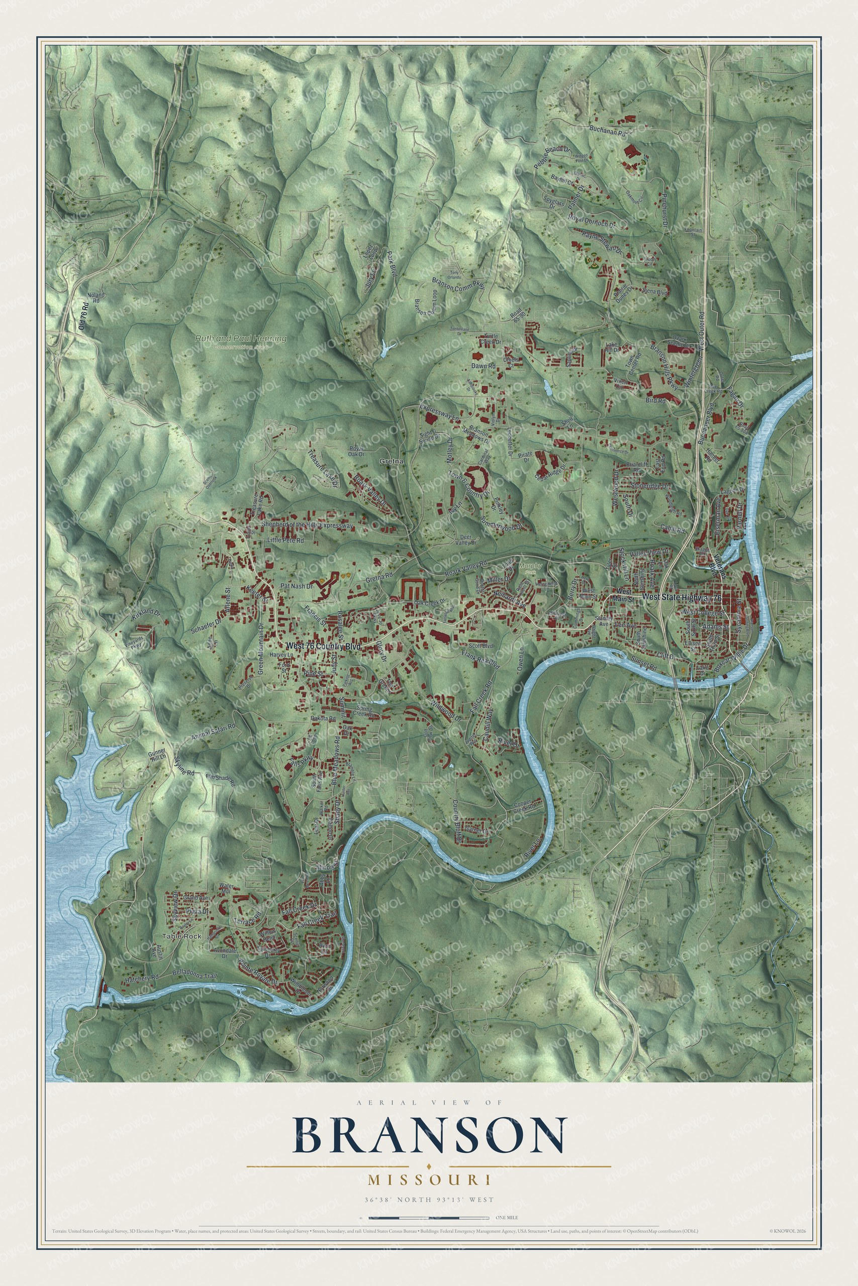
Created by KNOWOL in 2026, this print shows Branson from above as shaded green hills, with blue water winding through and red buildings along the valleys. The title panel reads Aerial View of Branson, Missouri, with 36°38' North 93°13' West printed below.
It fits a living room, a home office or a cabin wall. It's a warm gift for someone who grew up near Table Rock or worked along West 76 Country Boulevard and has since moved away. Open the preview and find your street. See sizes and frames for the Branson map.