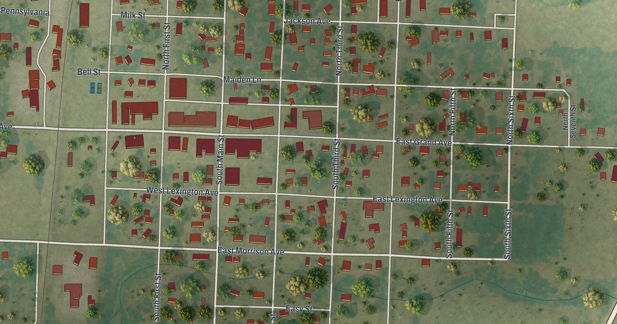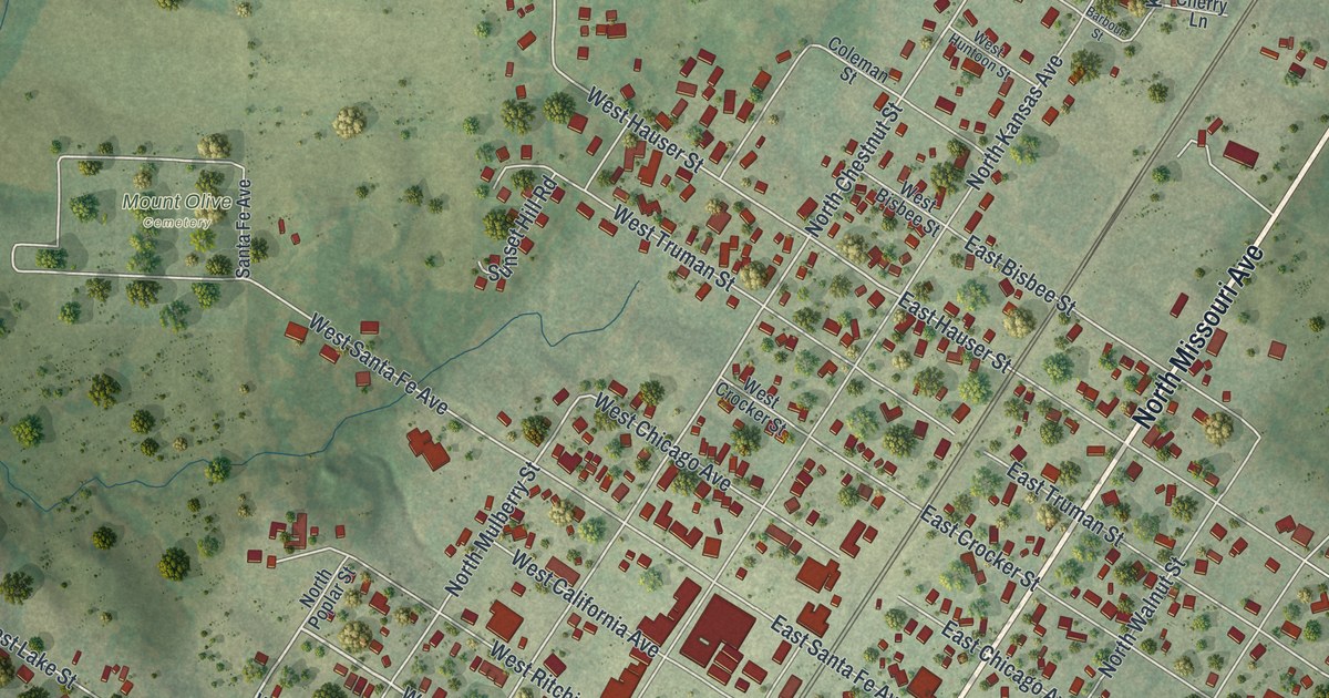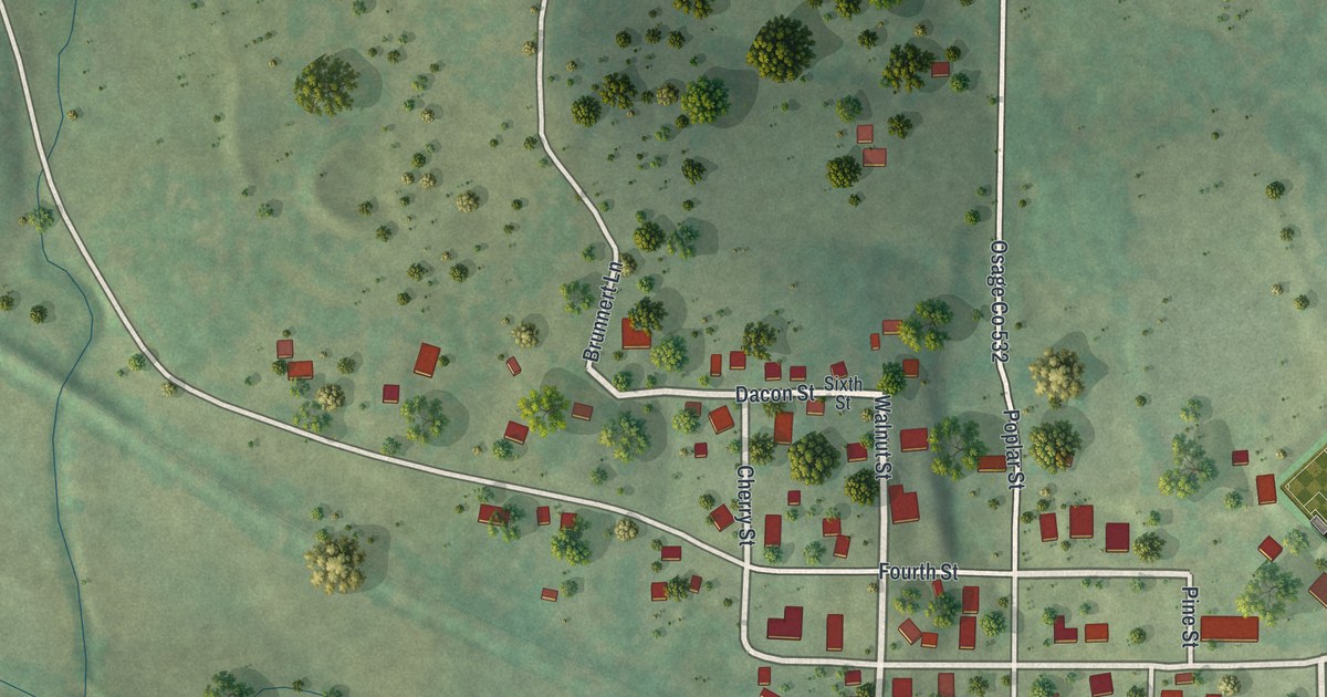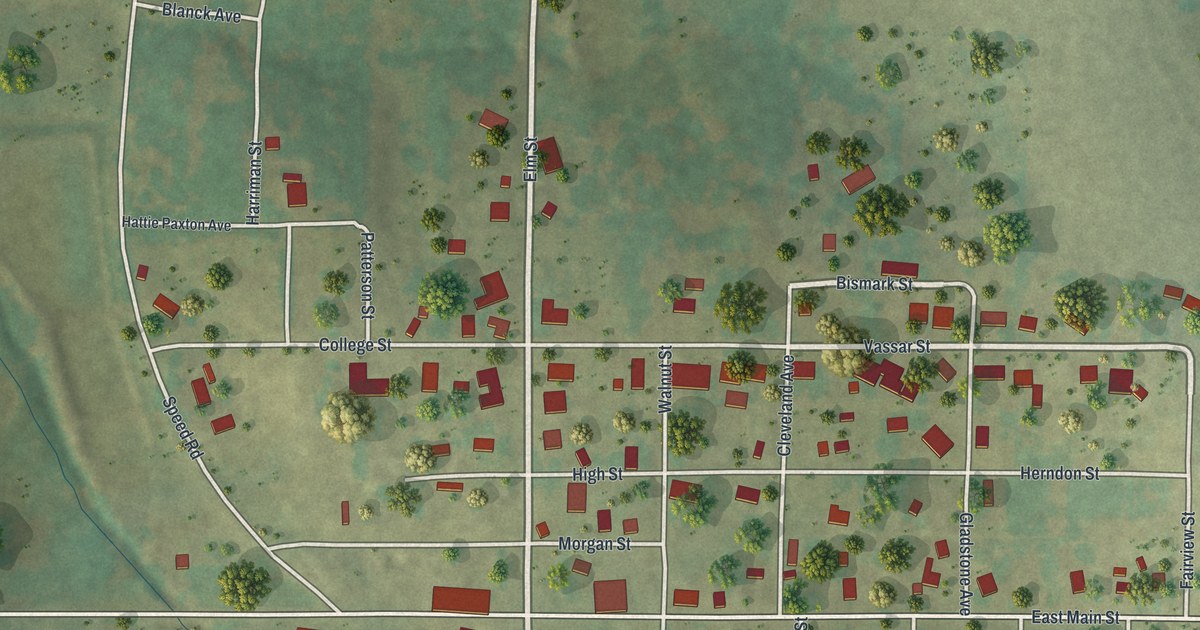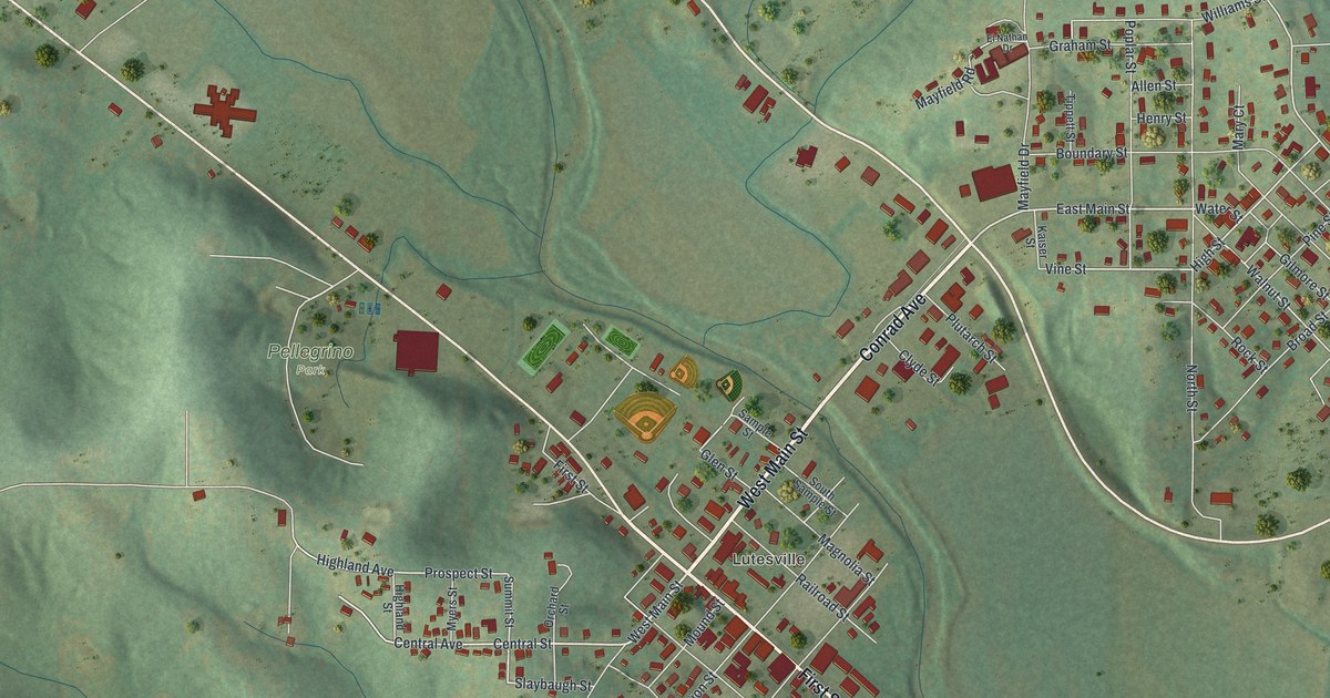
If you grew up in Marble Hill, here's a map to keep home close. This modern aerial view of Marble Hill in Bollinger County, Missouri pairs modern data with a vintage feel. Red buildings fill the street grids, with green hills rising around them. The Lutesville name sits among the streets near the center.
Marble Hill's streets and hills
On this map you'll find West Main Street, East Main Street, Conrad Avenue, Lutesville, First Street, Lutes Street, Central Street, High Street, Mayfield Drive, Railroad Street, Union Street, and more. Each red shape is a building, so zoom in on the preview and look for yours.
Marble Hill's name came from a belief about the ground beneath it. The State Historical Society of Missouri's place-name account says people thought the town's hill was made of marble. The account calls that belief mistaken and describes it as the generally accepted source of the name. On the print, shaded hills surround the town's blocks. The large MARBLE HILL title below them gives you a reason to tell that story.
Marble Hill and Lutesville on your wall
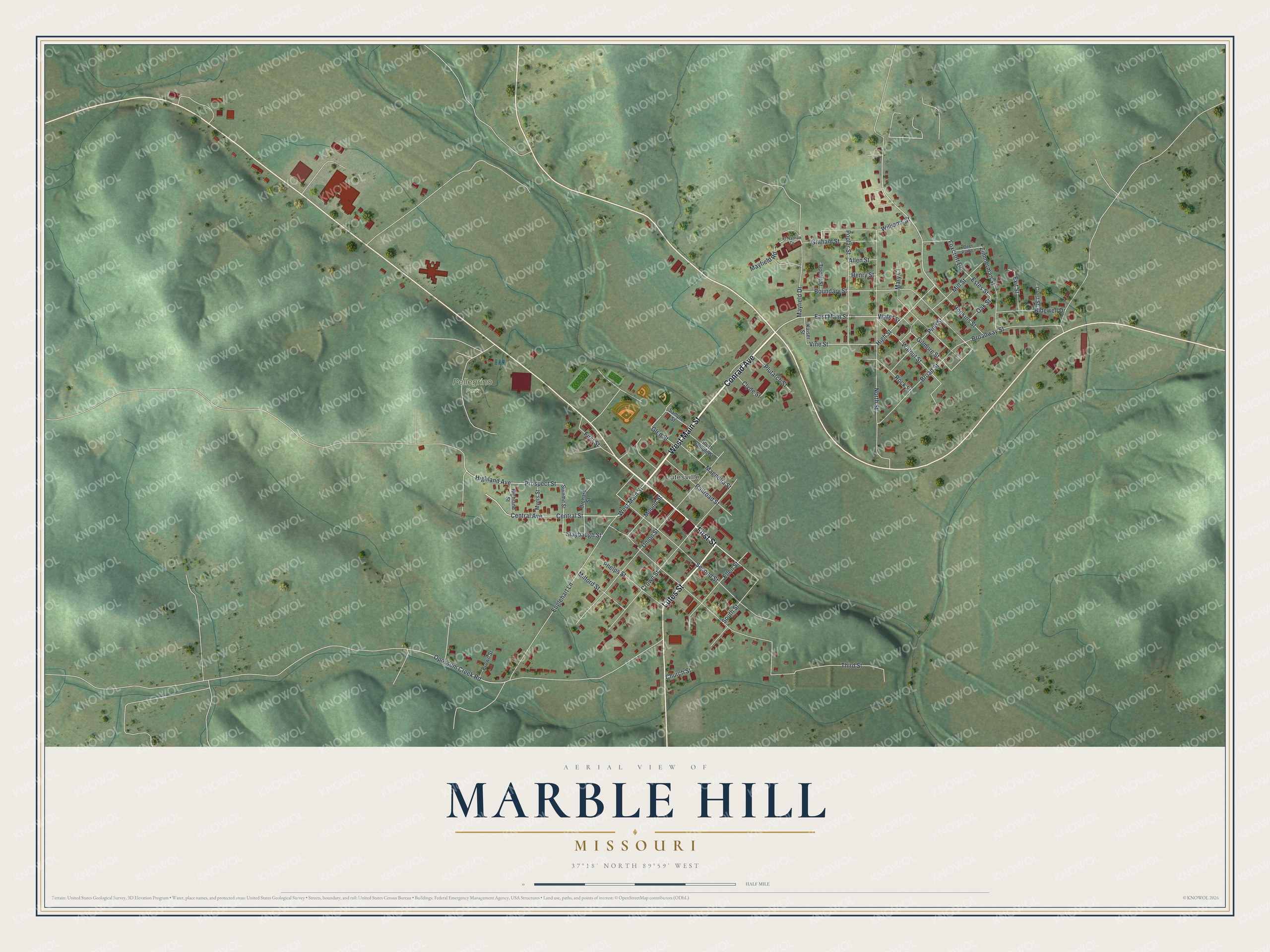
Created by KNOWOL in 2026, this print pairs soft green hills with red buildings and pale roads. A cream border surrounds the view. The title panel reads AERIAL VIEW OF, MARBLE HILL, MISSOURI, with 37°18' NORTH 89°59' WEST beneath it.
Hang it in a living room, home office, or entryway. It's a thoughtful gift for someone with family in Lutesville, or someone who moved away from Marble Hill. Open the preview and look for a street you know. See sizes and frames for the Marble Hill map.