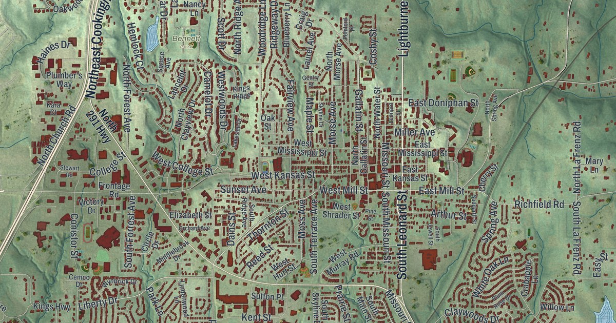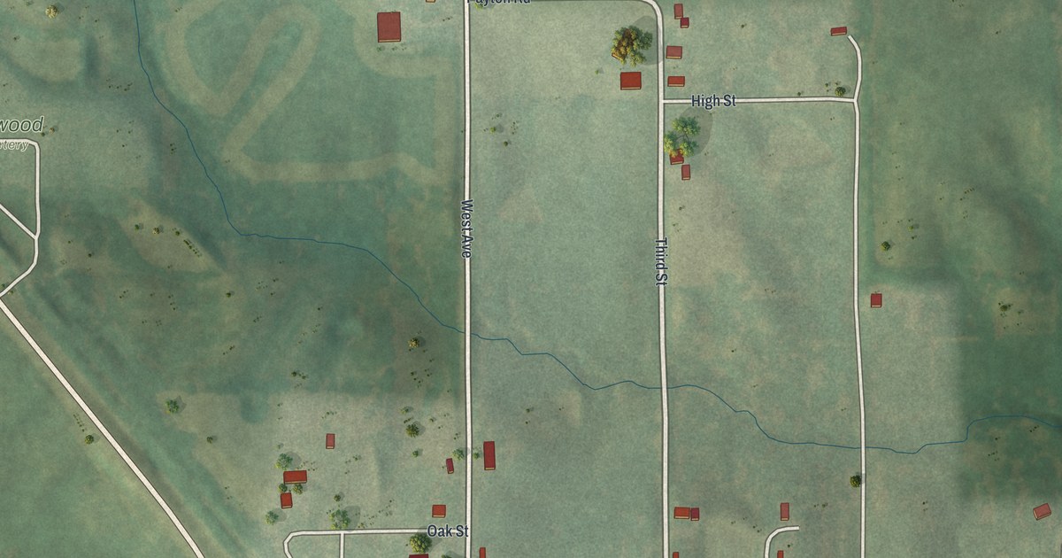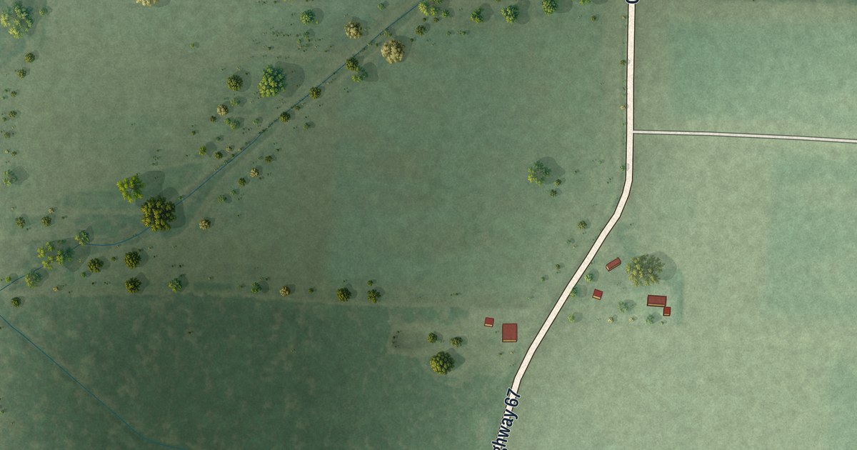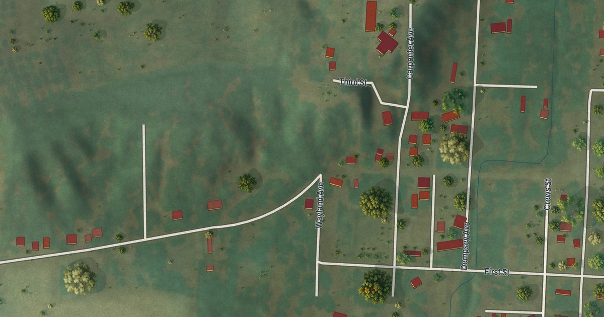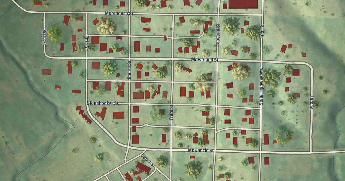
If you grew up in Barnard, you know these streets by heart. This modern aerial view shows Barnard in Nodaway County, Missouri, using modern data with a vintage feel. Red buildings line the town's small grid. Green fields stretch around it, with blue water curving past the edge of town.
McKenzie Street and Barnard's town blocks
On this map you'll find McKenzie Street, Depot Street, Morehouse Street, McFarland Street, Stonehocker Street, First Street, Second Street, Third Street, Fourth Street, Fifth Street, Sixth Street, Keystone Road, and more. Each red shape is a building, so zoom in on the preview and look for yours.
Barnard's story goes back to its first blacksmith on the town site. The 1882 history of Nodaway County tells of its first blacksmith, Valentine Korell. He came from Prussia in 1850. On March 1, 1852, he reached Nodaway County and settled on Barnard's town site. By the time the book was written, he was the mayor.
The John and Fannie Fields House at 227 McKenzie St. was listed on the National Register of Historic Places in 2019.
The Fields House and a Barnard keepsake

Created by KNOWOL in 2026, the print pairs soft green land with red buildings and blue water. A cream border surrounds the view. The title panel reads AERIAL VIEW OF, BARNARD, MISSOURI, with 40°11' NORTH 94°49' WEST below.
Hang it in a living room, office, or entryway. It's a gift for someone with family on McKenzie Street, or someone who's moved away from Barnard. Open the preview and take a closer look at the blocks you know. See sizes and frames for the Barnard map.