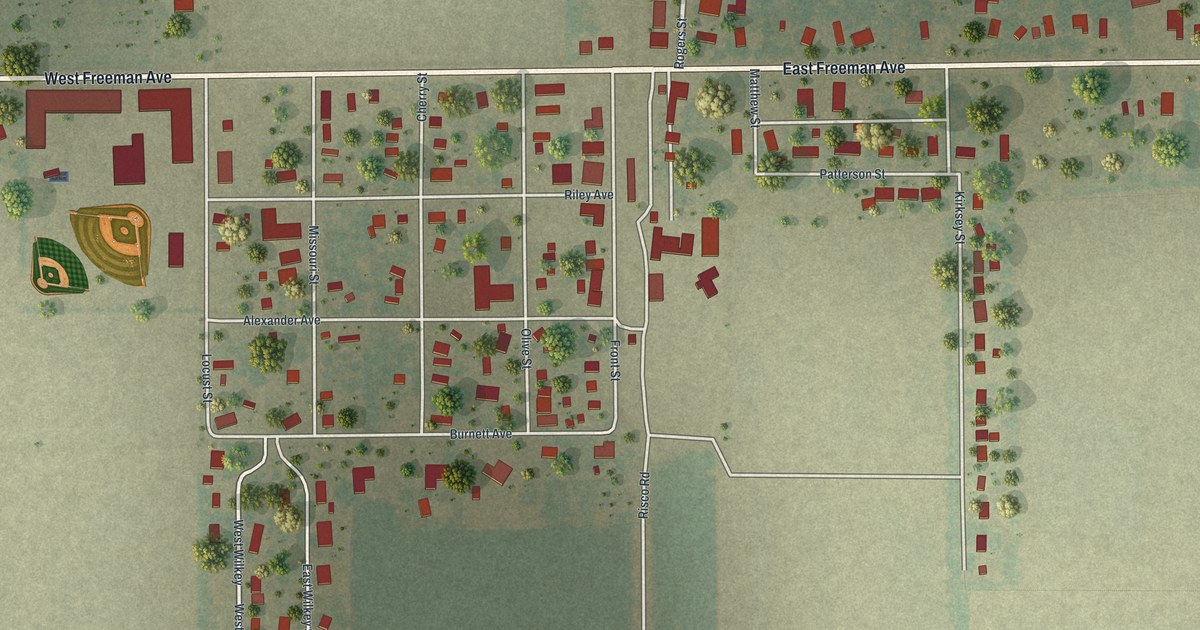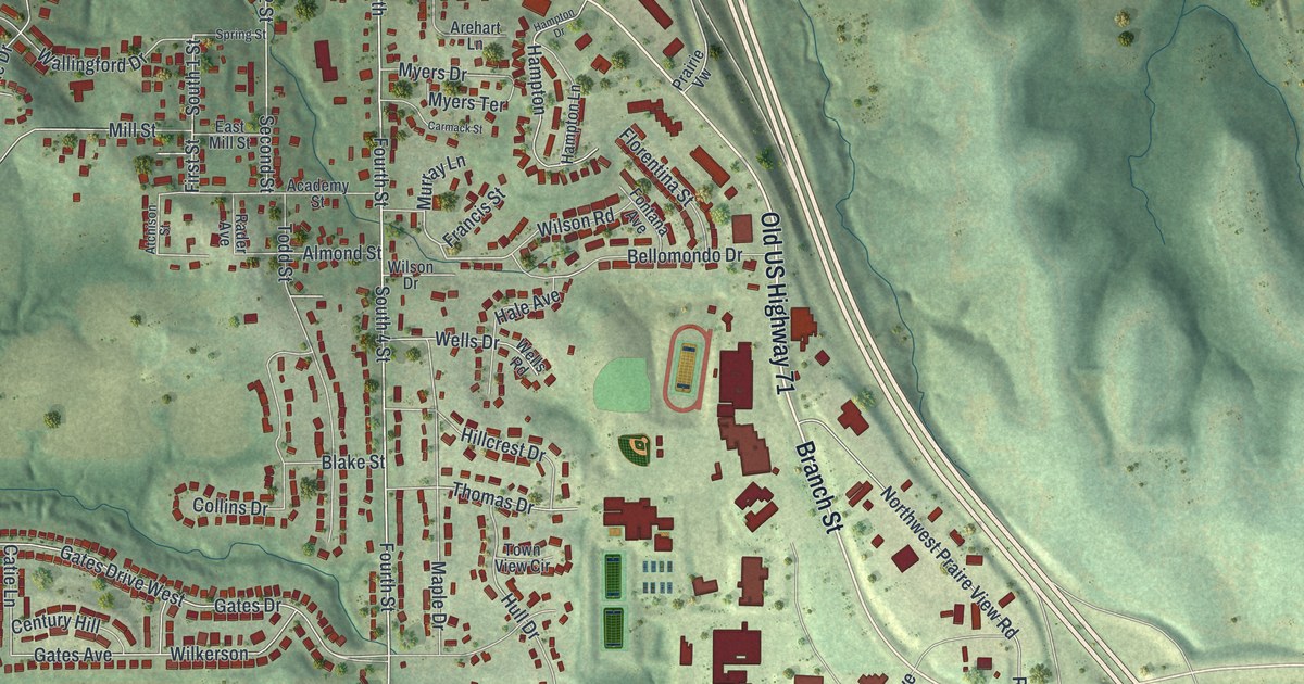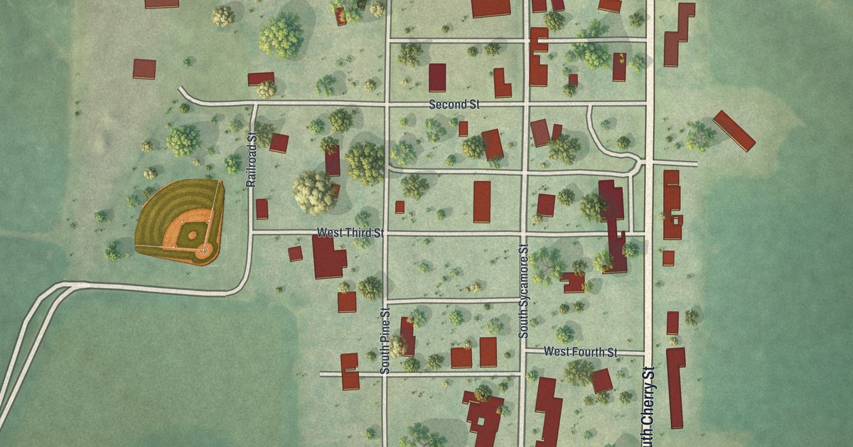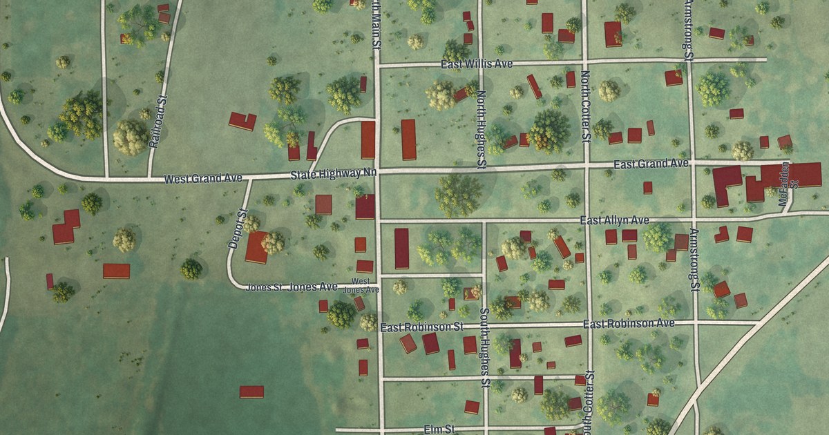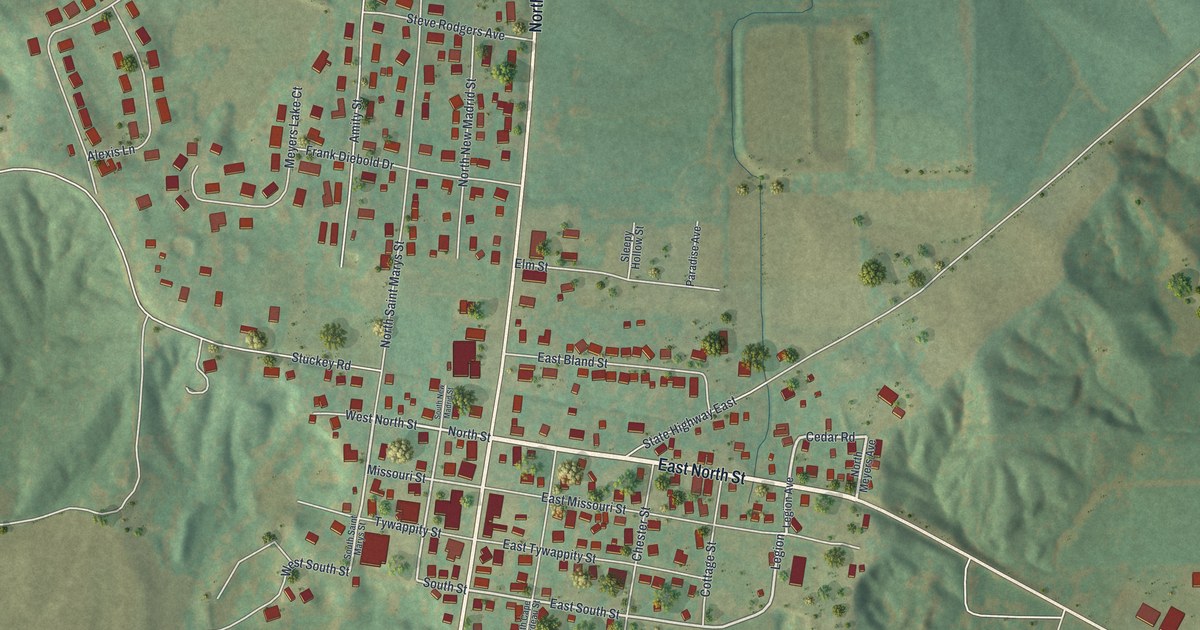
If you grew up in Benton, you'll know Missouri Street and Tywappity Street on this print. It's a modern aerial view of Benton in Scott County, Missouri, made with modern data and a vintage feel. Red buildings gather along the town's streets, with green hills spread around them.
Missouri Street and Tywappity Street
On this map you'll find Missouri Street, Tywappity Street, North Winchester Street, South Winchester, Old Highway 61, East North Street, East South Street, North Saint Marys Street, Cedar Road, Stuckey Road, Mack Street, and more. Each red shape is a building, so zoom in on the preview and look for yours.
Benton, Named for Senator Thomas Hart Benton
Benton shares its name with a Missouri senator. The State Historical Society of Missouri's place-name account says the town was named for Thomas Hart Benton (1782-1858), one of the first senators from Missouri, who served from 1820 to 1850. The Scott County Courthouse at 131 S. Winchester St. is listed on the National Register of Historic Places.
Missouri Street and Tywappity Street in Benton

Created by KNOWOL in 2026, the print pairs green shaded hills with red buildings and pale roads. A cream border surrounds the view. The title panel reads AERIAL VIEW OF, BENTON, MISSOURI, with 37°06' NORTH 89°34' WEST below.
This Benton print suits a living room, office, or entryway. It's a gift for someone who grew up near Tywappity Street and wants to keep home close. Open the preview to take a closer look at the town's streets and buildings. See sizes and frames for the Benton map.