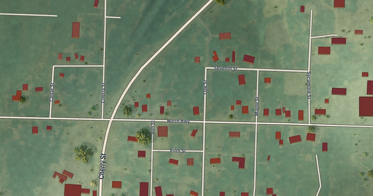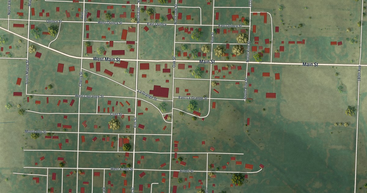
If you grew up on Main Street in Lewistown, or your family still lives on one of its tree-named streets, this map was made with you in mind. It's a modern aerial view of Lewistown in Lewis County, Missouri, built from public street, elevation and building-outline data and given a soft vintage look. The whole town sits in the middle of the sheet, a neat grid of streets with red buildings packed along them. Green farm fields spread out on every side, with a few scattered trees.
Main Street and the streets of Lewistown
On this map you'll find Main Street, West Main Street, Elm Street, Maple Street, Canton Street, La Grange Street, Quincy Street, Palmyra Street, Monticello Street, Cherry Street, Oak Street, Vine Street, Arbell Street, Crist Street, 215th Street, and more. Each red shape is a building, so zoom in on the preview and look for yours.
Why Lewistown was laid out by the railroad
Lewistown didn't grow up slowly around a crossroads. It was planned. The State Historical Society of Missouri says the town was laid out by the railroad in 1871. It was meant to be a shipping center for that part of the county. It took its name from the county itself. On this map, the town is still a tidy grid of blocks around Main Street.
The railroad years left a mark in town, too. The Quincy, Missouri, and Pacific Railroad Station in Lewistown was added to the National Register of Historic Places in 1979.
A print of Lewistown and Main Street
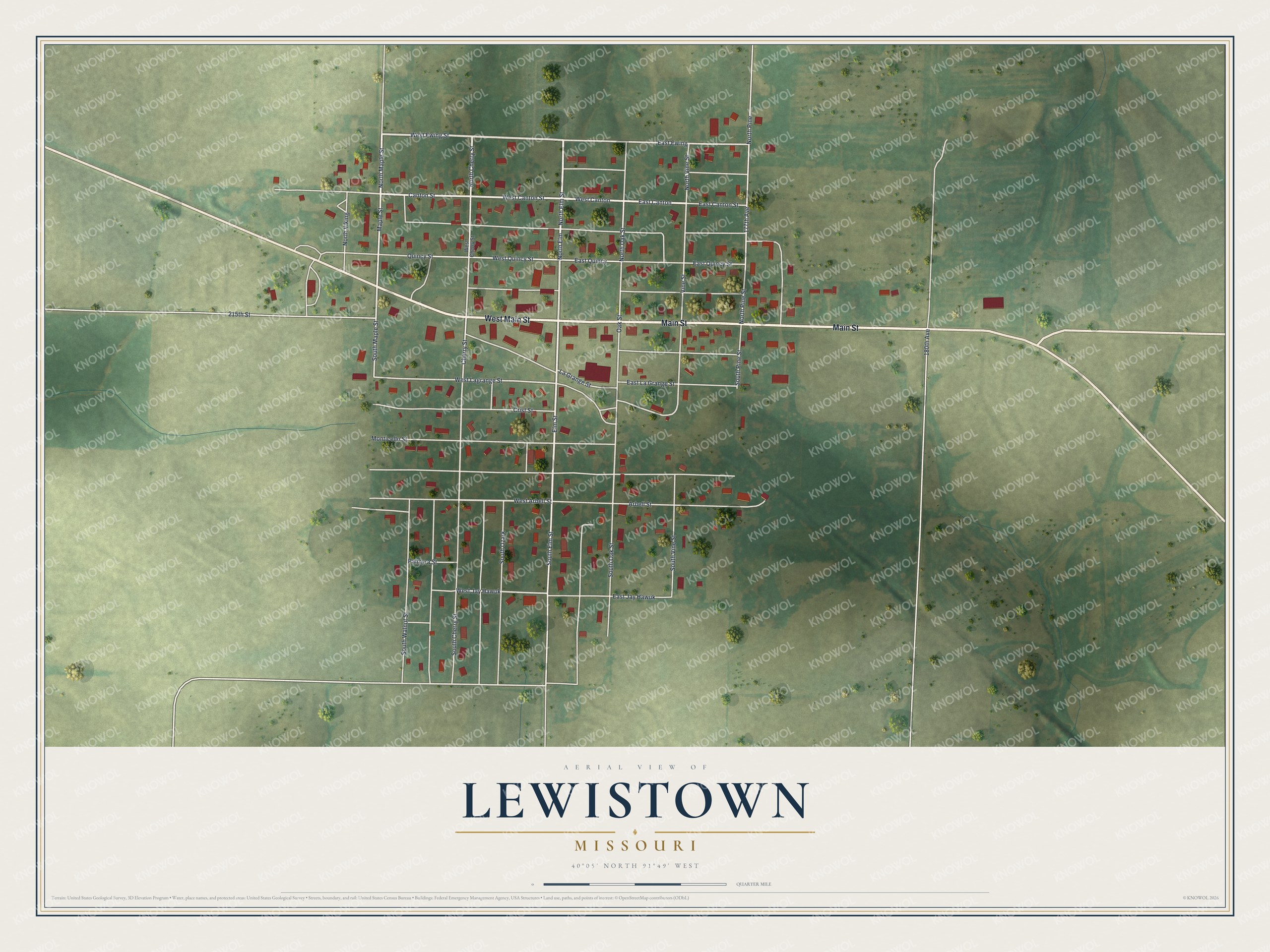
Created by KNOWOL in 2026, this print shows Lewistown from straight above, with red buildings, pale streets and rolling green farmland shaded by the land's rise and fall. The title panel at the bottom reads "Aerial View of Lewistown, Missouri" with the coordinates 40°05' North 91°49' West.
It fits a living room, a kitchen or a front hall. It's a good gift for someone who grew up near Main Street and moved away, or for a family with roots in Lewis County. Open the preview and find the block you know best. See sizes and frames for the Lewistown map.