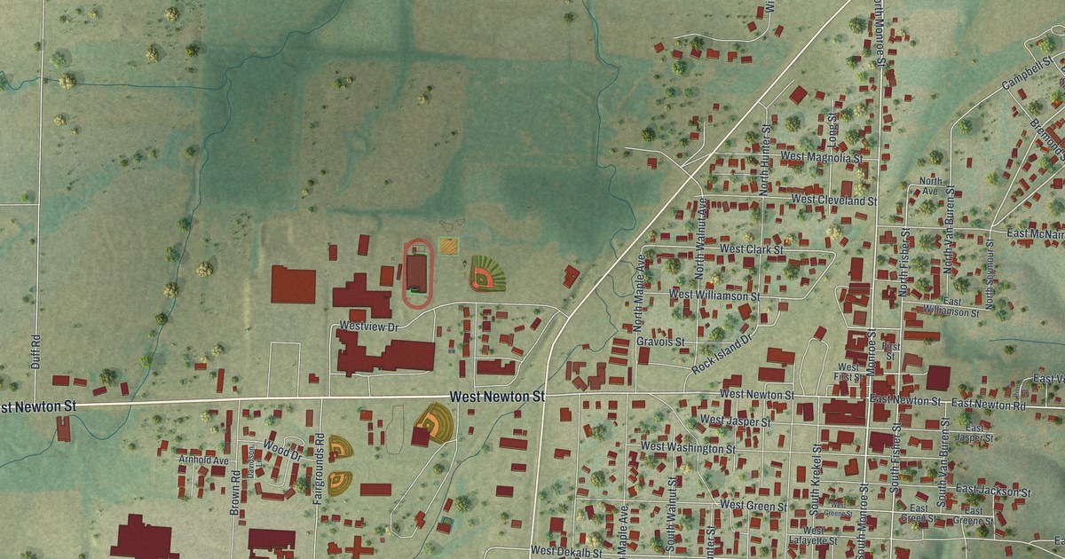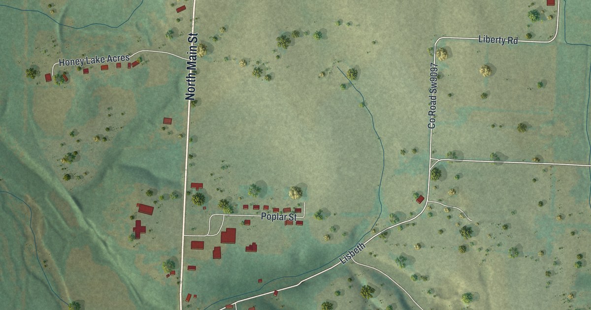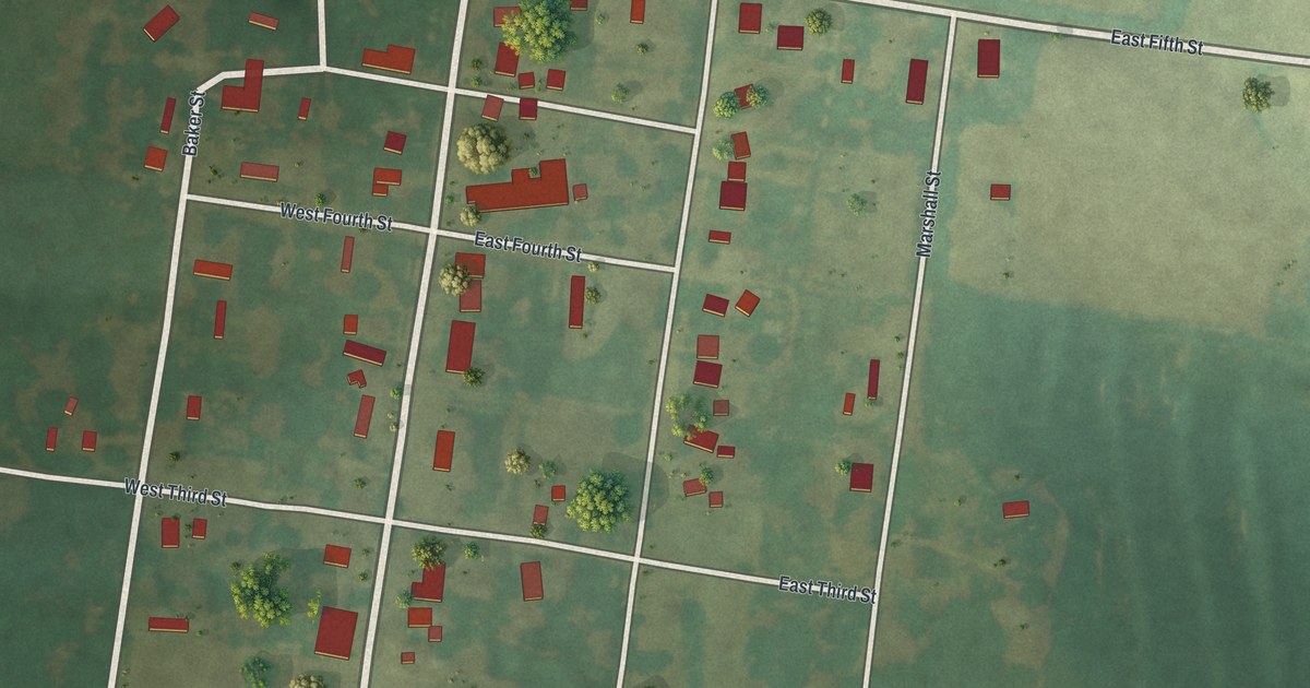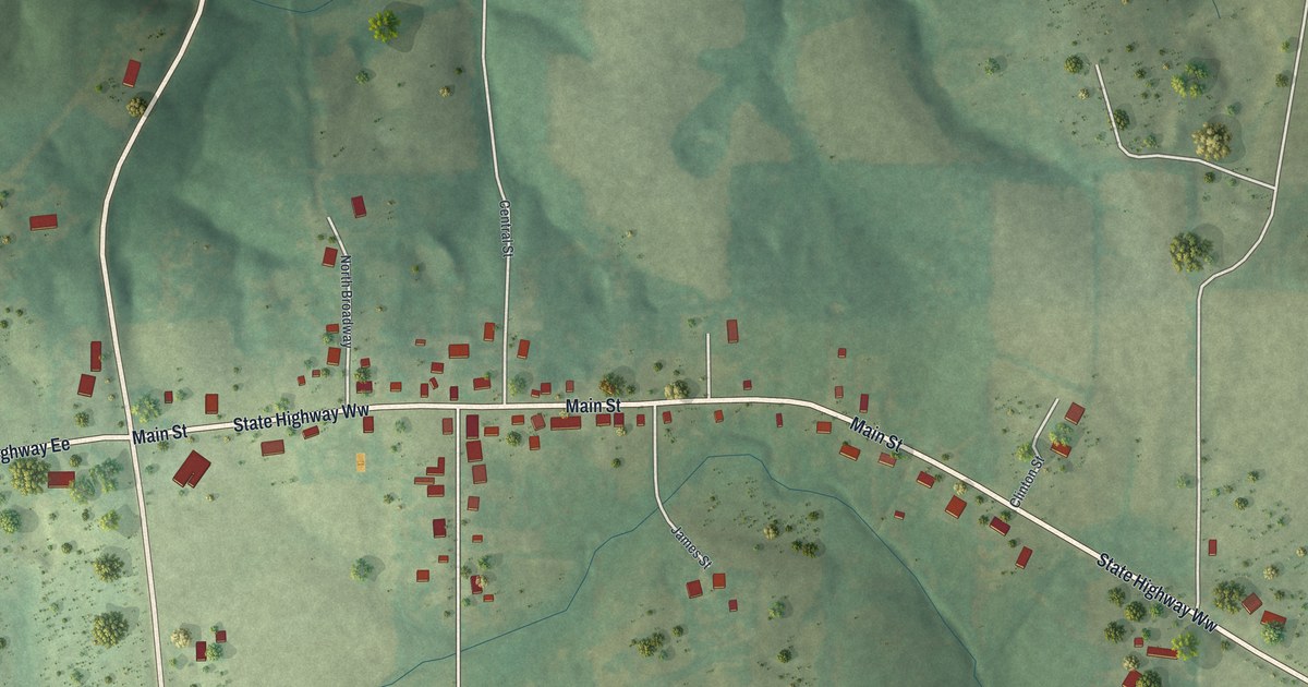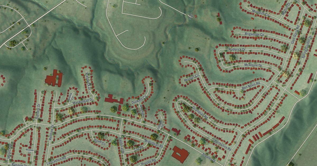
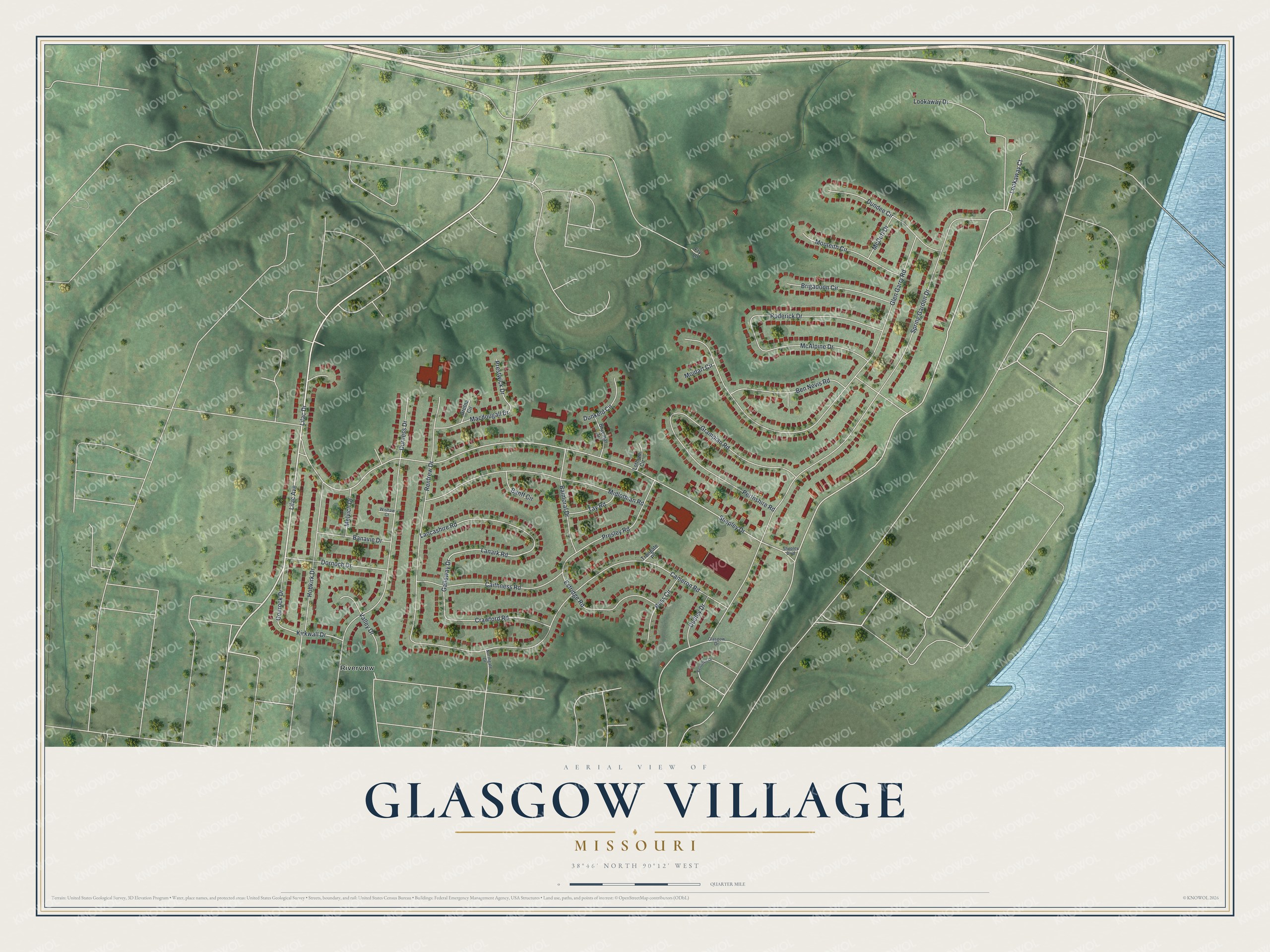
This beautifully detailed map of Glasgow Village, Missouri was created in 2026 using aerial imagery combined with modern topographical, census, street and landmark data. It's a modern aerial view of Glasgow Village in St. Louis County, Missouri, that combines modern data with a vintage aesthetic. The roads feature printed names, and if you look closely you can find your exact house accurately shown in its correct location.
Explore an aerial view of Glasgow Village, Missouri
On this map you'll find Riverview, Lilac Avenue, Lookaway Drive, Lilac Drive, Lookaway Court, Lanark Road, Galloway Drive, Shepley Drive, Kirkwall Drive, Spring Garden Drive, Glen Garry Road, Cameron Road, and more. Each red shape is a building, so zoom in on the preview and look for yours.
Glasgow Village is a community in St. Louis County. The Census Bureau counted 4,584 people here in 2020. The map prints the town name in its title panel, with the coordinates below it.
Take a closer look at the Glasgow Village map
Names on this map
These names are printed on this map.
Places: Riverview.
Streets and roads: Lilac Avenue, Lookaway Drive, Lilac Drive, Lookaway Court, Lanark Road, Galloway Drive, Shepley Drive, Kirkwall Drive, Spring Garden Drive, Glen Garry Road, Cameron Road, Durness Drive.
More street names, A to Z
Balmoral Drive, Banavie Drive, Banff Circle, Ben Nevis Road, Benvenue Drive, Braemar Drive, Brigadoon Circle, Caithness Road, Crawford Road, Dornoch Drive, Dudley Drive, Dundee Circle, Dunkeld Circle, Estridge Road, Fry Lane, Glasgow Drive, Gourock Drive, Grampian Road, Gretna Circle, Hobkirk Drive, Lancashire Road, Lothian Circle, Macdougall Drive, McAlpine Drive, McDuff Drive, Melvich Drive, Midlothian Road, Moidart Circle, Monteith Circle, Northgate Drive, Perthshire Road, Presley Road, Prestwick Drive, Renfrew Drive, Roderick Drive, Ross Circle, Shepley Boulevard, Tay Road, Trongate Place, Valley Drive, Wishaw Court.
See it on a wall
The Glasgow Village map as a framed print. Swipe for more.


Created by KNOWOL in 2026. The buildings are small red shapes, the roads carry their printed names, and shaded relief shows the shape of the land. The title panel reads "AERIAL VIEW OF GLASGOW VILLAGE, MISSOURI" with 38°46' NORTH 90°12' WEST.
It looks right in a kitchen, an office or a den, and it's a gift for anyone who grew up in Glasgow Village or moved away. Open the preview and find your street. See sizes and frames for the Glasgow Village map.