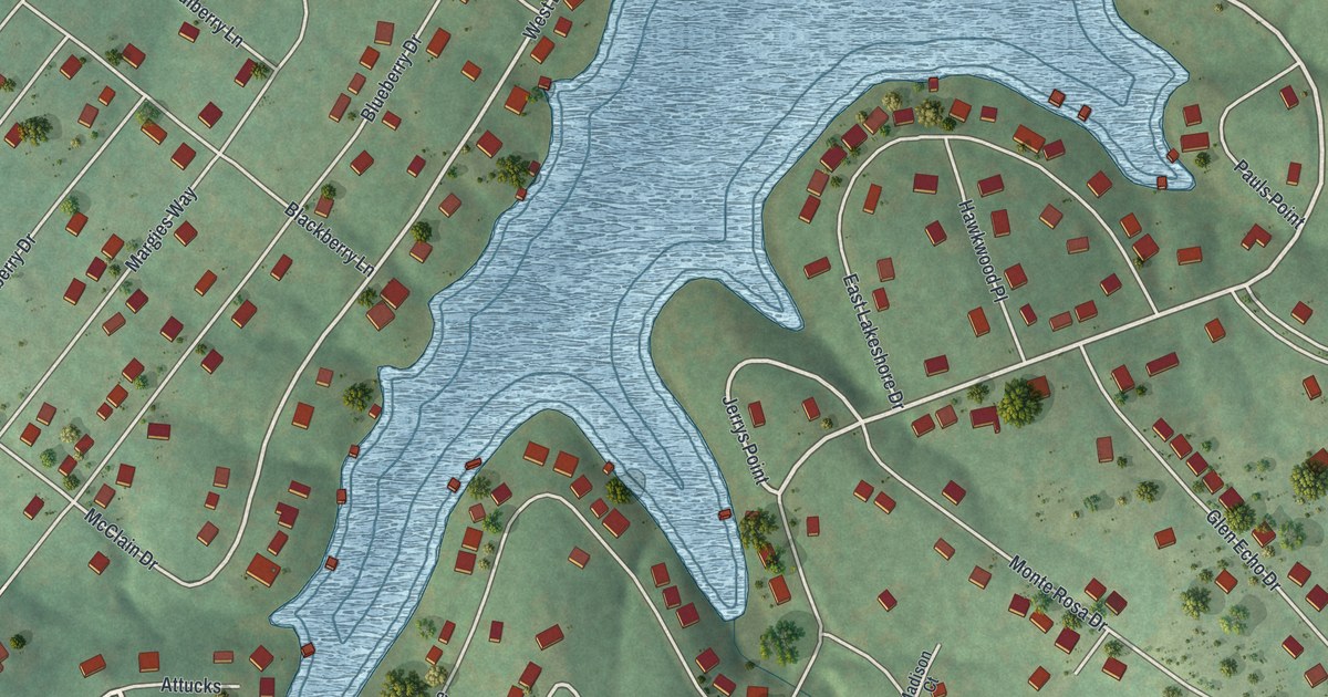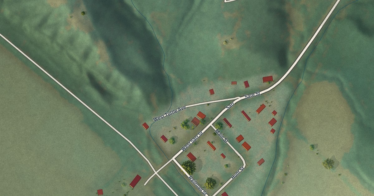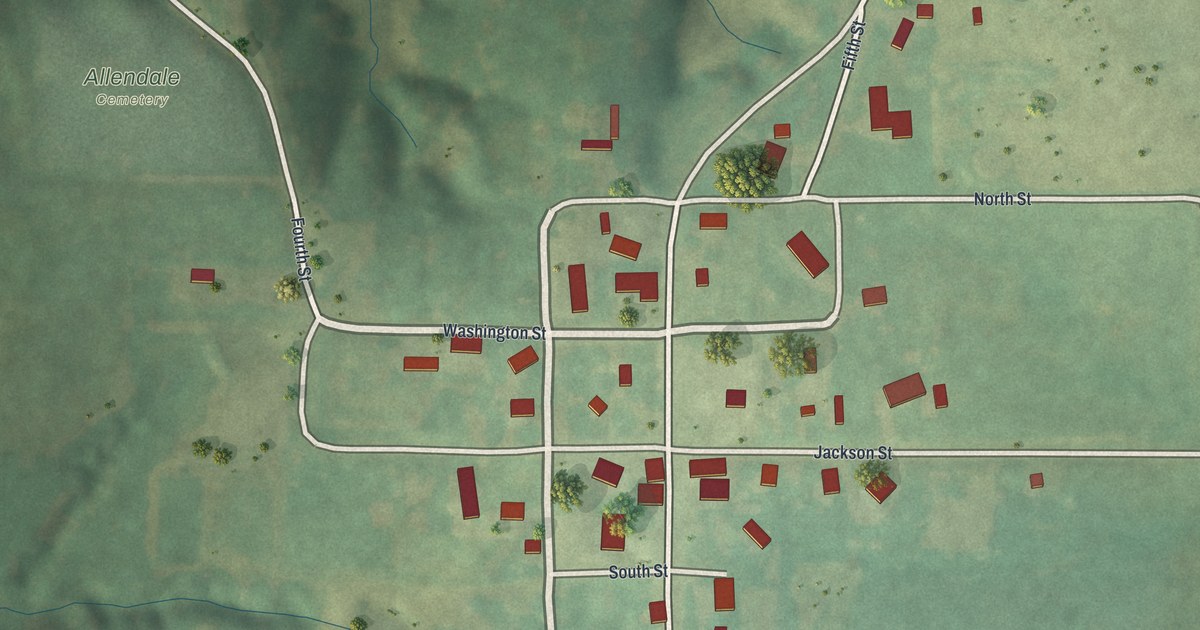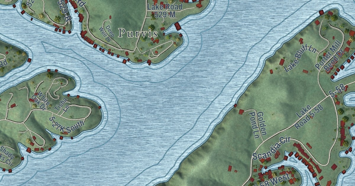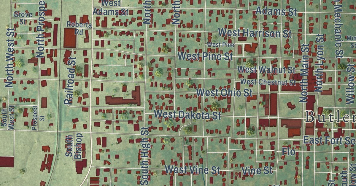
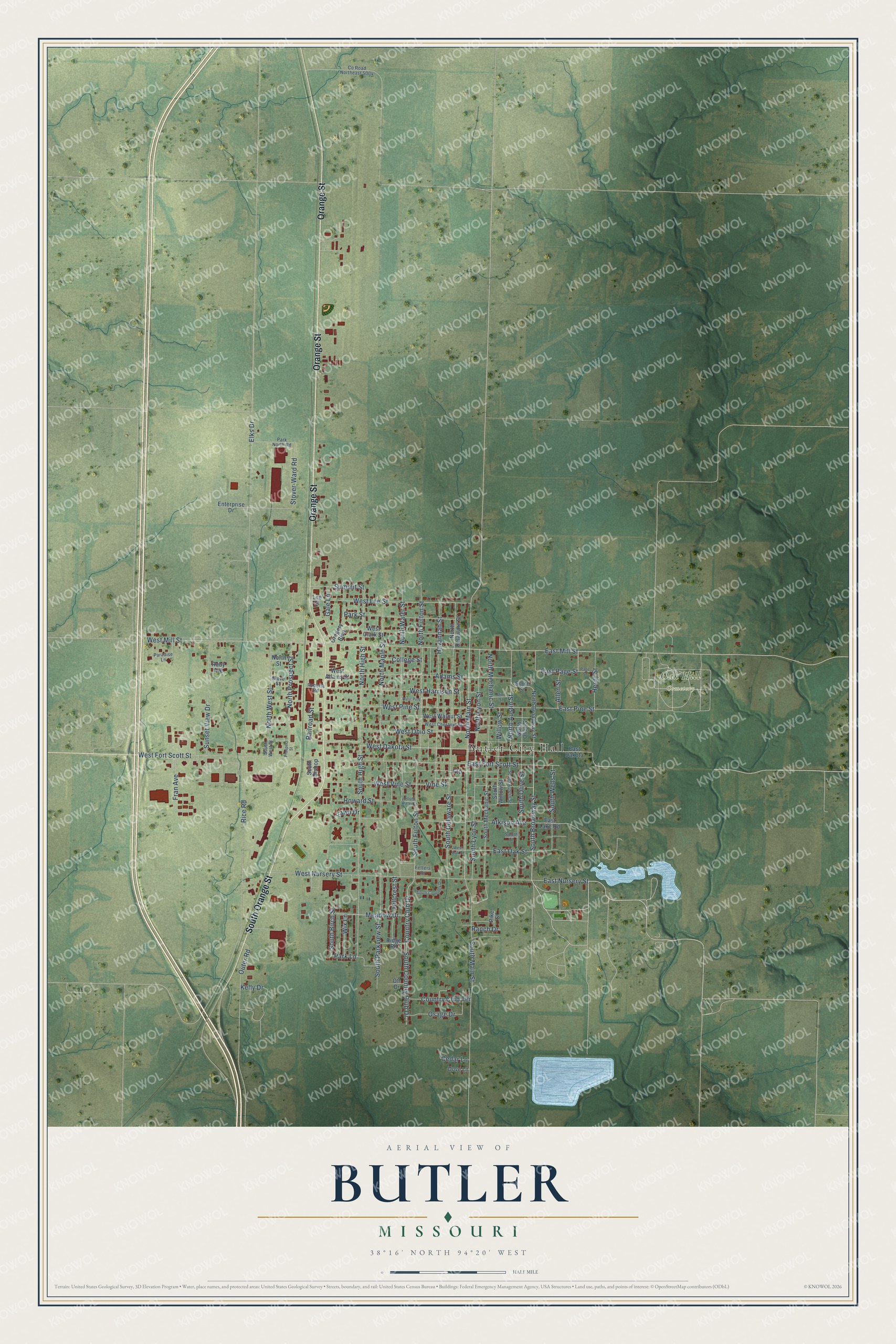
This beautifully detailed map of Butler, Missouri was created in 2026 using aerial imagery combined with modern topographical, census, street and landmark data. It’s a one-of-a-kind view of Butler that combines accurate data with a vintage aesthetic. The map shows every building in its true location, many of the roads carry their names, and the shaded topographic relief shows the shape of the land.
Explore an aerial view of Butler, Missouri
On the map you’ll find Butler City Hall, Oak Hill Cemetery, and Butler Park, along with Orange Street, South Orange Street, South Broadway Street, South Main Street, West Dakota Street, North Main Street, North Broadway Street, North High Street, South Lyon Street, and more. If you look closely you can even find your house accurately drawn in its correct location. Zoom in on the preview to look for yours.
Did you know this piece of Butler, Missouri history?
Butler was named for William O. Butler, an officer in the Mexican War. It was settled in 1854 and became the county seat in 1856. In 1861, during the Civil War, most of its buildings burned. After the war the town was slowly rebuilt. That’s from the U.S. Geological Survey place names records.
Take a closer look at the Butler map
Street and place names on the Butler, Missouri map
These names are printed on the map of Butler, Missouri.
Places: Butler City Hall and Oak Hill Cemetery.
Streets and roads: Orange Street, South Orange Street, South Broadway Street, South Main Street, West Dakota Street, North Main Street, North High Street, South Lyon Street, West Lee Street, East Pine Street, West Fort Scott Street, Park Lane.
More street names, A to Z
Adams Street, Allen Street, Atkison Avenue, Cedar Lane, College Street, Country Club Drive, Country Club Terrace, County Road Northeast 5004, Dove Lane, East Dakota, East Fort Scott Street, East Lake Road, East Mill Street, East Nursery Street, East Oak Street, East Page Street, Elks Drive, Enterprise Drive, Fawn Drive, Fetters Drive, Flo, Fran Avenue, Gale Lane, Gregory Boulevard, Grove Street, Havannah Street, Henry Street, Hillcrest Street, Howard Street, Kelly Drive, Lee Street, Meadow Drive, Mine Street, North Austin Street, North Broadway Street, North Delaware Street, North Fulton Street, North Lyon Street, North Maple Street, North Mechanic Street, North Olive Street, North Prospect Street, North Street, North Water Street, North West Street, Osage Drive, Ott Drive, Outer Road, Page Street, Paradise Lane, Park North Road, Park Street, Pike Street, Prospect Street, Railroad Street, Ranch Drive, Rice Road, Ridge Road, Roberta Road, Ruby Avenue, Smith Street, South Austin Street, South Birch Street, South Bishop, South Country Club Drive, South Courtney Drive, South Delaware Street, South Fulton Street, South High Street, South Mechanic Street, South Olive Street, South Parkview Street, South Street, South Water Street, South Wells Street, South West Street, South Willow Street, Stover-Ward Road, Summit Street, Sunset View Drive, Vine Street, West Adams Street, West Chestnut Street, West Clark Street, West Harrison Street, West Mill Street, West Nursery Street, West Oak Street, West Ohio Street, West Pine, West Pine Street, West Vine Street, West Walnut Street, Willow Street, Wix Lane.
See the Butler, Missouri map on a wall
The Butler map as an 18 x 24 inch print in a black frame.

This beautifully detailed map of Butler makes an attractive addition to your office, library, or den, and it can even be used to teach children the geography and history of the area. It also makes a great gift for someone who left Butler and still calls it home. When you’re done exploring, click here to get your copy of the Butler map.