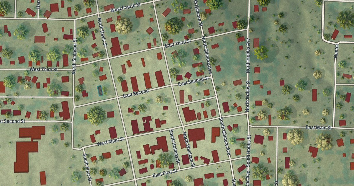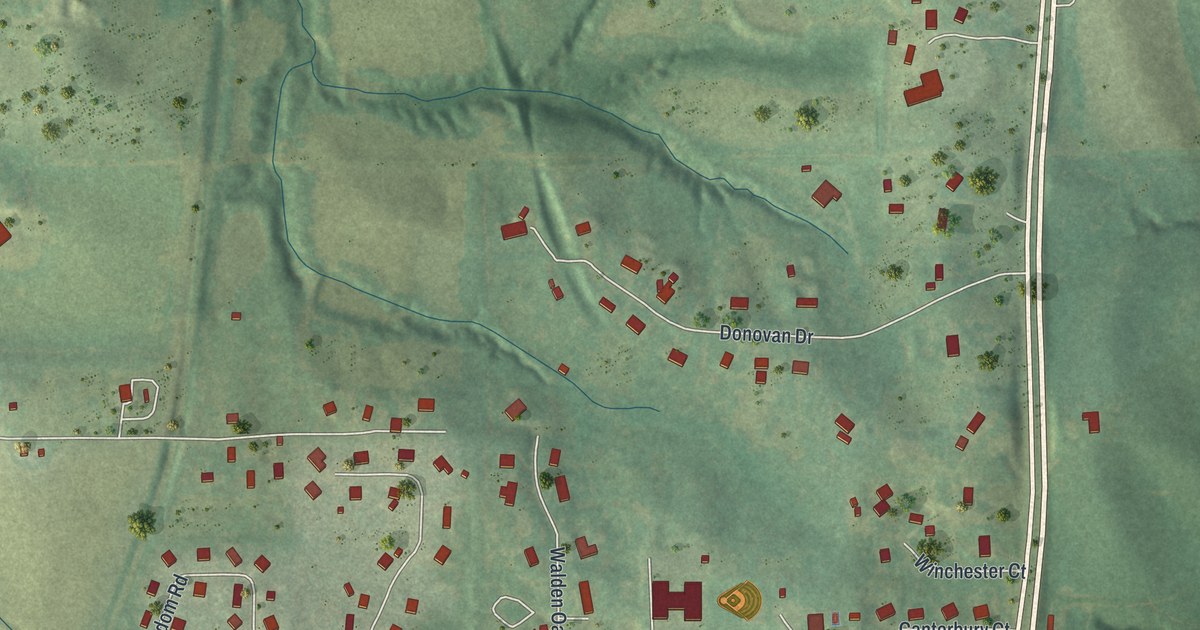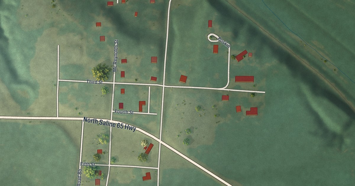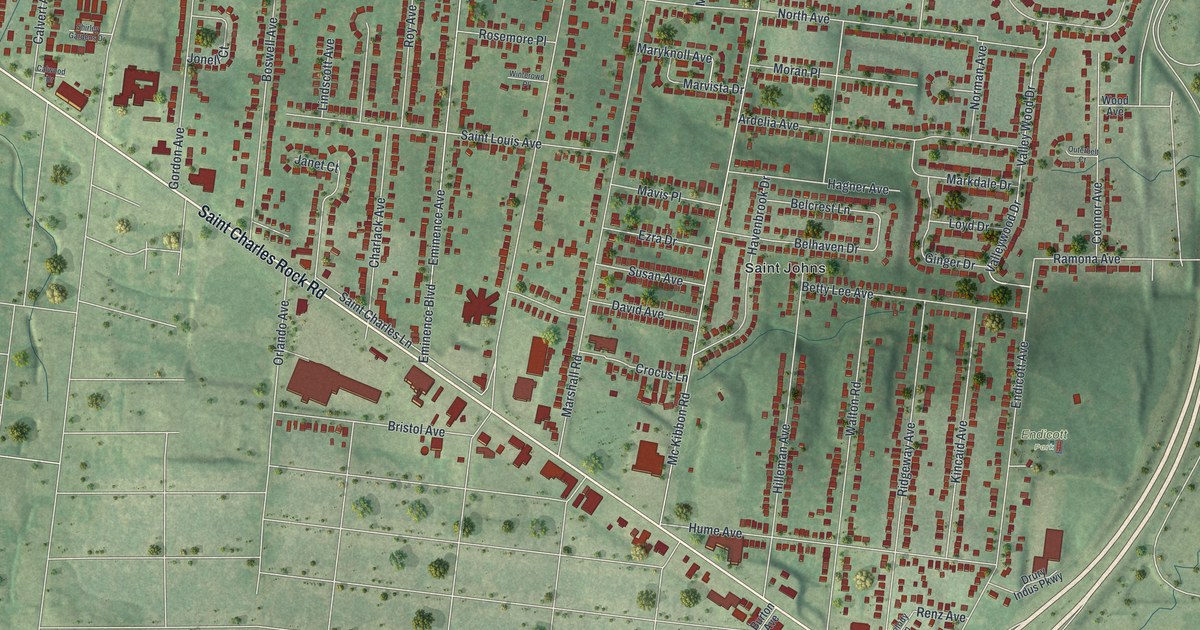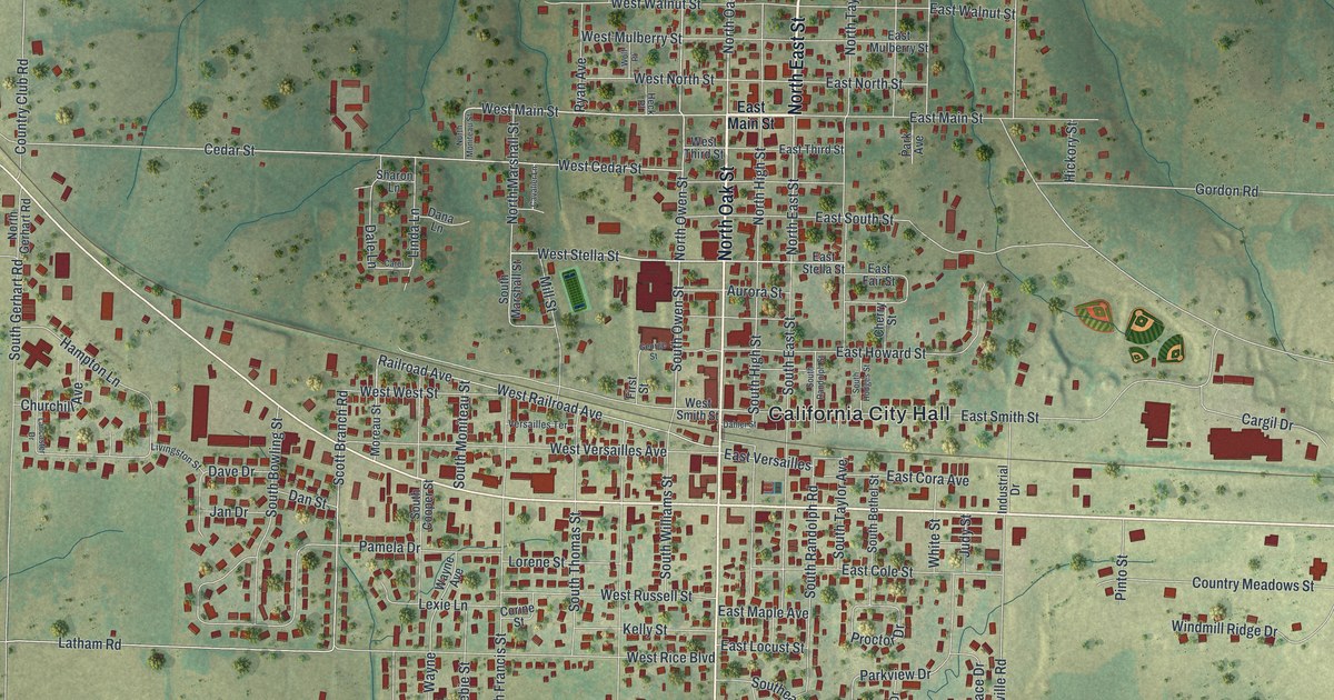
If you grew up on North High Street, or you've walked past California City Hall more times than you can count, this map is for you. It's a modern aerial view of California in Moniteau County, Missouri, made from modern data and given a vintage feel. The town fills the middle of the sheet, with red buildings packed close along East Buchanan Street and West Buchanan Street. Green hills and creek valleys roll out on every side, and a small blue pond sits in Proctor Park near the bottom.
California City Hall to Proctor Park on the map
On this map you'll find North High Street, East Buchanan Street, West Buchanan Street, North Oak Street, South Oak Street, California City Hall, Proctor Park, Jamestown Road, Railroad Avenue, West Versailles Avenue, Old US Highway 50, Clarksburg Road, East Main Street, and more. Each red shape is a building, so zoom in on the preview and look for yours.
Walter Garner's blacksmith shop in 1835
One of the earliest details on record about California is a blacksmith.The State Historical Society of Missouri keeps a short note about him in its old place-name files. It says, "In 1835 Walter Garner built a blacksmith shop a short distance from the present town of California." Those files were gathered between 1928 and 1945. The note doesn't say exactly where the shop stood. It only says it was close by. Today the present town covers the center of this map, with about 2,400 red building shapes.
Five National Register places downtown
Downtown California has five places on the National Register of Historic Places. Four of them are on North High Street. The Old California City Hall and Fire Station is at 101 North High Street. The Old Barnhill Building is at 301, and the Finke Opera House is at 312. The Gray-Wood Buildings take up 401 to 407. The fifth is the Moniteau County Courthouse Square, and it was the first one listed, in 1970. The Finke Opera House was added last, in 2004. Look for North High Street in the tight red blocks near the center of the sheet. Those old buildings are among the red shapes there.
California, from Proctor Park to Jamestown Road

Created by KNOWOL in 2026, this print shows California in soft greens, with red buildings, thin white roads and shaded hills. The title panel reads "Aerial View of California, Missouri" and gives the spot as 38°38' North 92°34' West.
It fits a living room, a front hall or a home office. It's a good gift for anyone who grew up near the courthouse square, or who moved away and still thinks about the walk down North High Street. Open the preview and find your street. See sizes and frames for the California map.