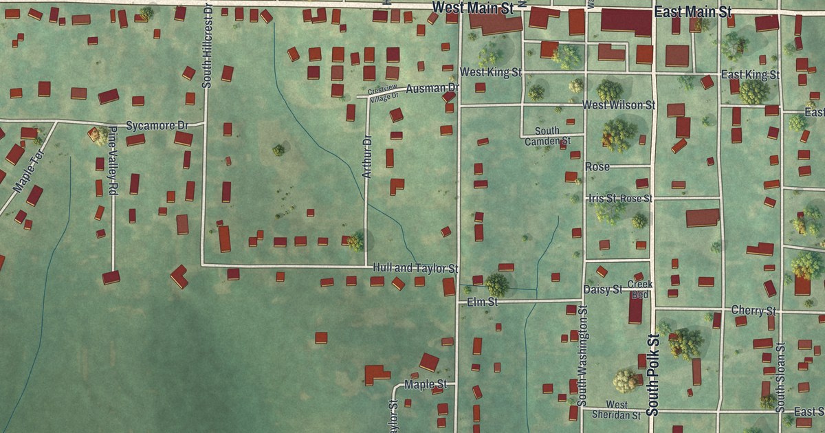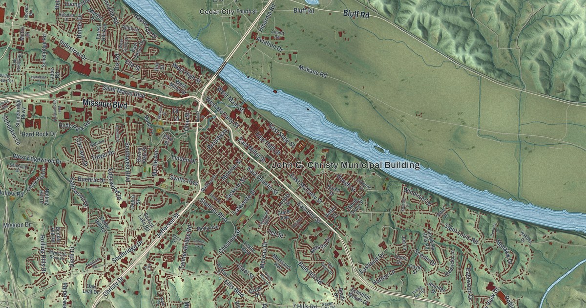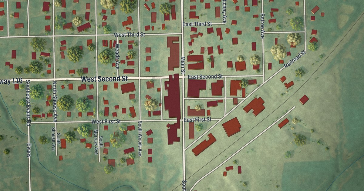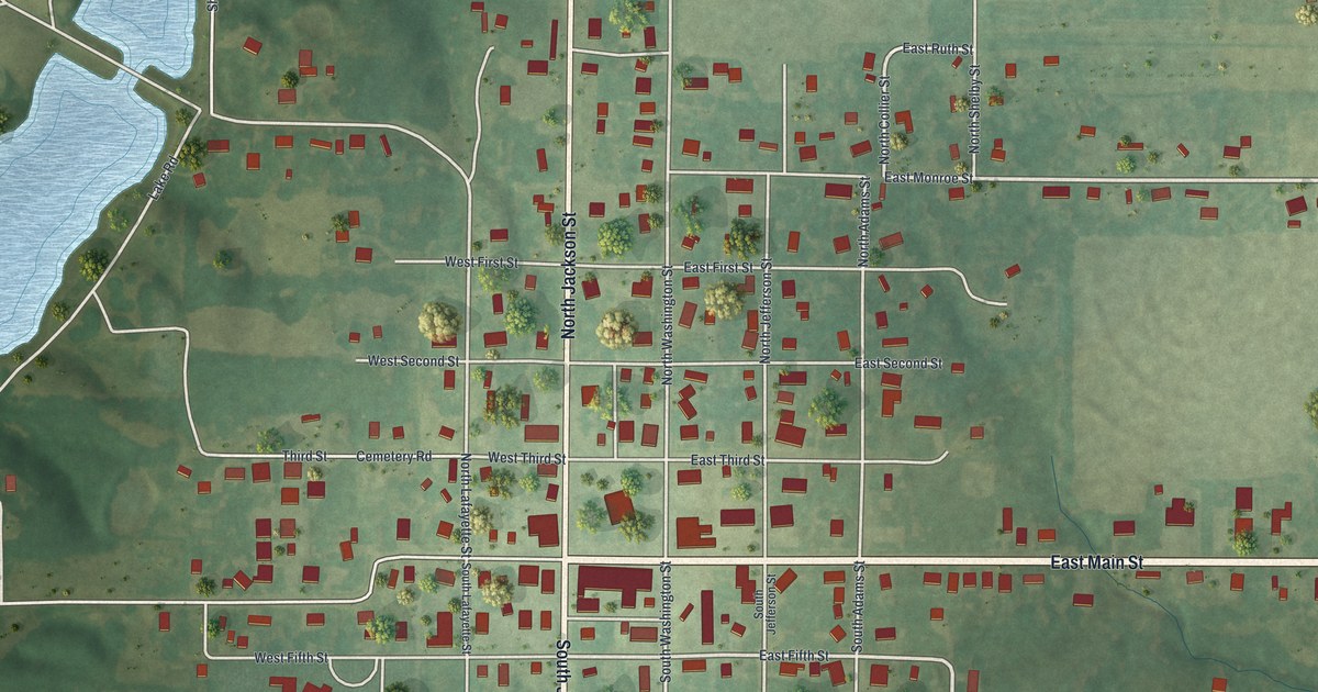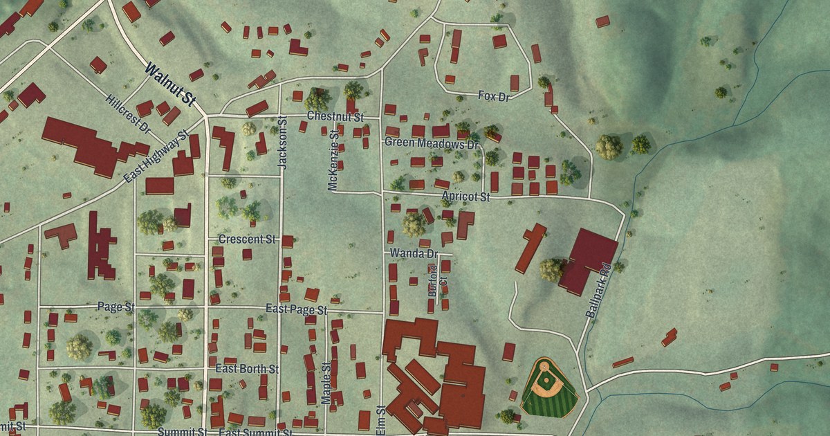
If you grew up in Doniphan, look for your old block on this print. It's a modern aerial view of Doniphan in Ripley County, Missouri, built from modern data with a vintage feel. Red buildings fill the town's street grid. Green hills surround it, and a blue river curves across the lower left corner.
Doniphan and Court House Square
On this map you'll find Court House Square, Washington Street, Walnut Street, Jefferson Street, Plum Street, Locust Street, Pine Street, Summit Street, North Grand Avenue, River Drive, Oak Ridge Cemetery, Lede, and more. Each red shape is a building, so zoom in on the preview and look for yours.
The historic Ramsay Place Names File tells how Doniphan became Ripley County's seat of justice. Its account dates that choice to 1859, when Carter County was formed. Van Buren became the new county's seat. Doniphan, settled about 1847 according to the same account, took that role for Ripley County. On the print, the name Court House Square gives you a place to connect with that story. Look for it among the close-set blocks and red buildings.
Doniphan's Streets on Your Wall
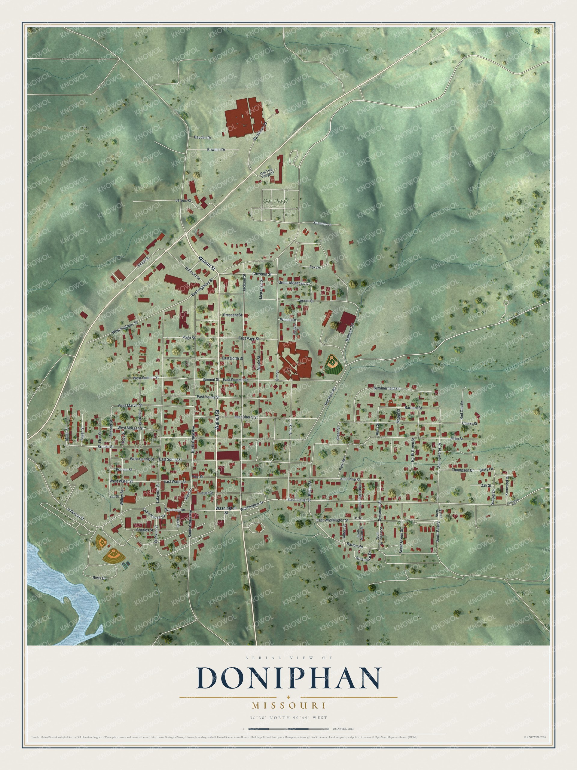
Created by KNOWOL in 2026, the print pairs soft green hills with red buildings and pale roads. A cream border surrounds the view. The title panel reads AERIAL VIEW OF, DONIPHAN, MISSOURI, with 36°38' NORTH 90°49' WEST below.
Hang it in a living room, office, or entryway to keep home close. It's a thoughtful gift for someone who grew up near Court House Square and moved away. Open the preview to find the streets you know and take a closer look. See sizes and frames for the Doniphan map.