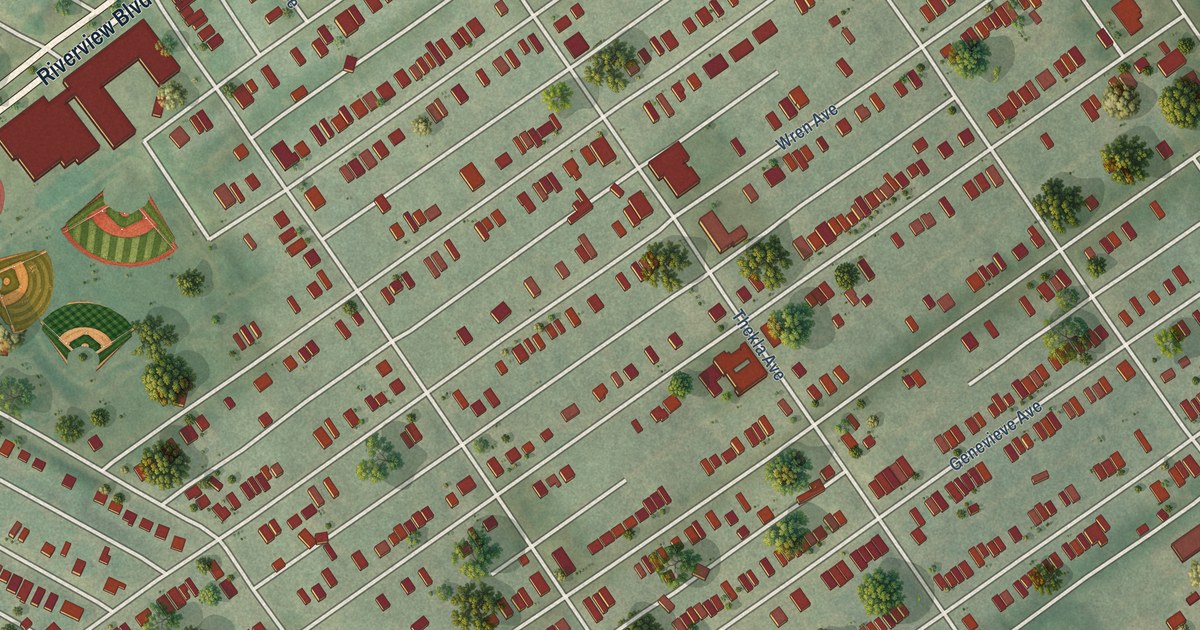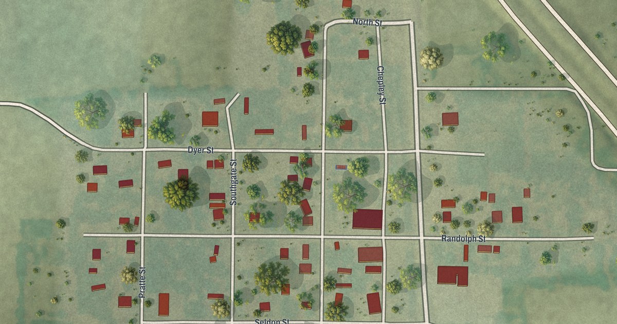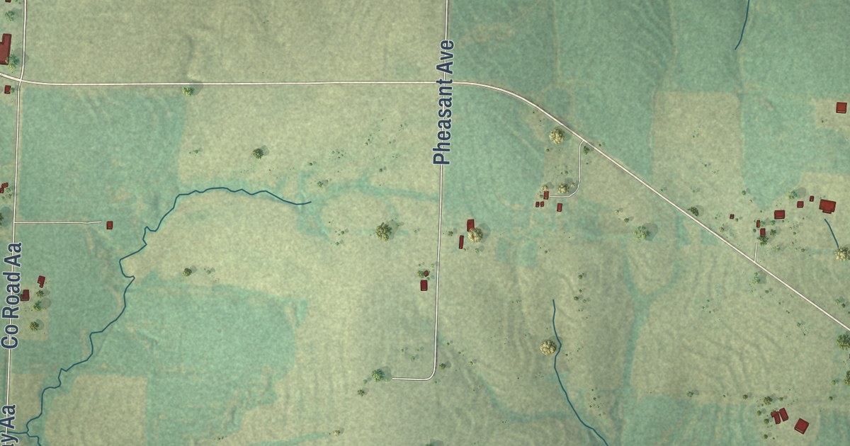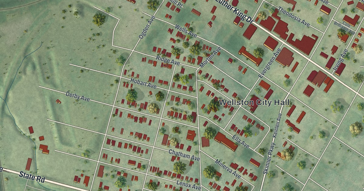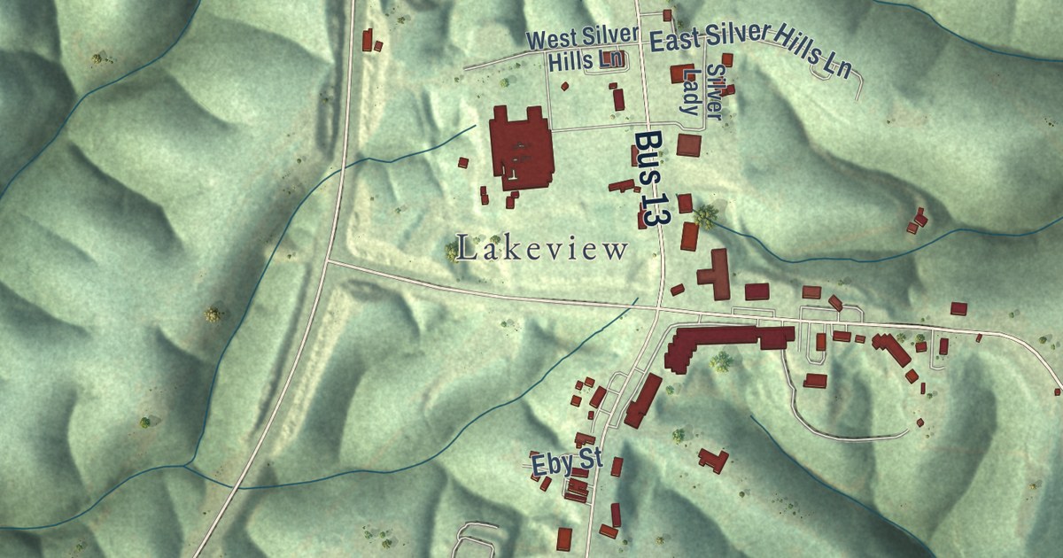
This beautifully detailed map of Branson West, Missouri was created in 2026 using aerial imagery combined with modern topographical, census, street and landmark data. It’s a one-of-a-kind view of Branson West that combines accurate data with a vintage aesthetic. The map shows every building in its true location, many of the roads carry their names, and the shaded topographic relief shows the shape of the land.
Explore an aerial view of Branson West, Missouri
On the map you’ll find Lakeview, Bus 13, and Lake Road 13-4, along with Ance Creek Road, Aero Drive, Tunnel Drive, North Catamount Boulevard, Meadowlark Road, Sunny Lane, Catamount Boulevard, Fritts Way, East Silver Hills Lane, and more. If you look closely you can even find your house accurately drawn in its correct location. Zoom in on the preview to look for yours.
Did you know this piece of Branson West, Missouri history?
Branson West has worn three names. It was first known as Linchpin, then officially as Lakeview. On February 25, 1992, the city renamed itself Branson West to share in the booming growth of nearby Branson. The move worked at first. The population climbed from 37 in 1990 to 408 by 2000.
Take a closer look at the Branson West map
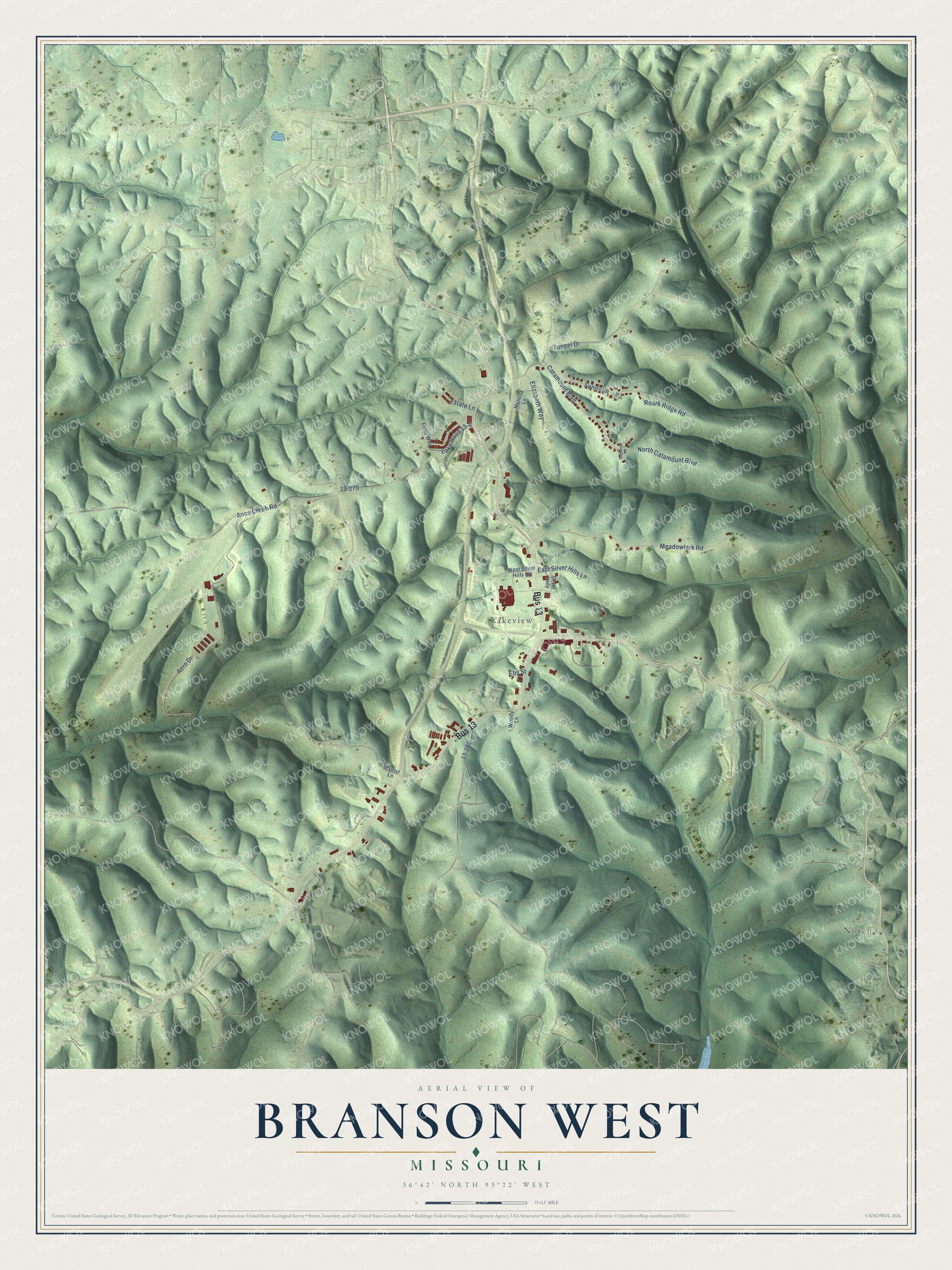
Street and place names on the Branson West, Missouri map
These names are printed on the map of Branson West, Missouri.
Places: Lakeview and Notch.
Streets and roads: Bus 13, Ance Creek Road, Lake Road 13-4, Aero Drive, Tunnel Drive, North Catamount Boulevard, Meadowlark Road, Sunny Lane, Catamount Boulevard, East Silver Hills Lane, Elizabeth Way, Roark Ridge Road.
More street names, A to Z
Dogwood Place, Eby Street, Estate Lane, Flag Street, Fritts Way, Melissa Lane, Purist Lane, Silver Lady, West Silver Hills Lane, Woody Lane.
See the Branson West, Missouri map on a wall
The Branson West map as an 18 x 24 inch print in a black frame.

This beautifully detailed map of Branson West makes an attractive addition to your office, library, or den, and it can even be used to teach children the geography and history of the area. It also makes a great gift for someone who left Branson West and still calls it home. When you’re done exploring, click here to get your copy of the Branson West map.