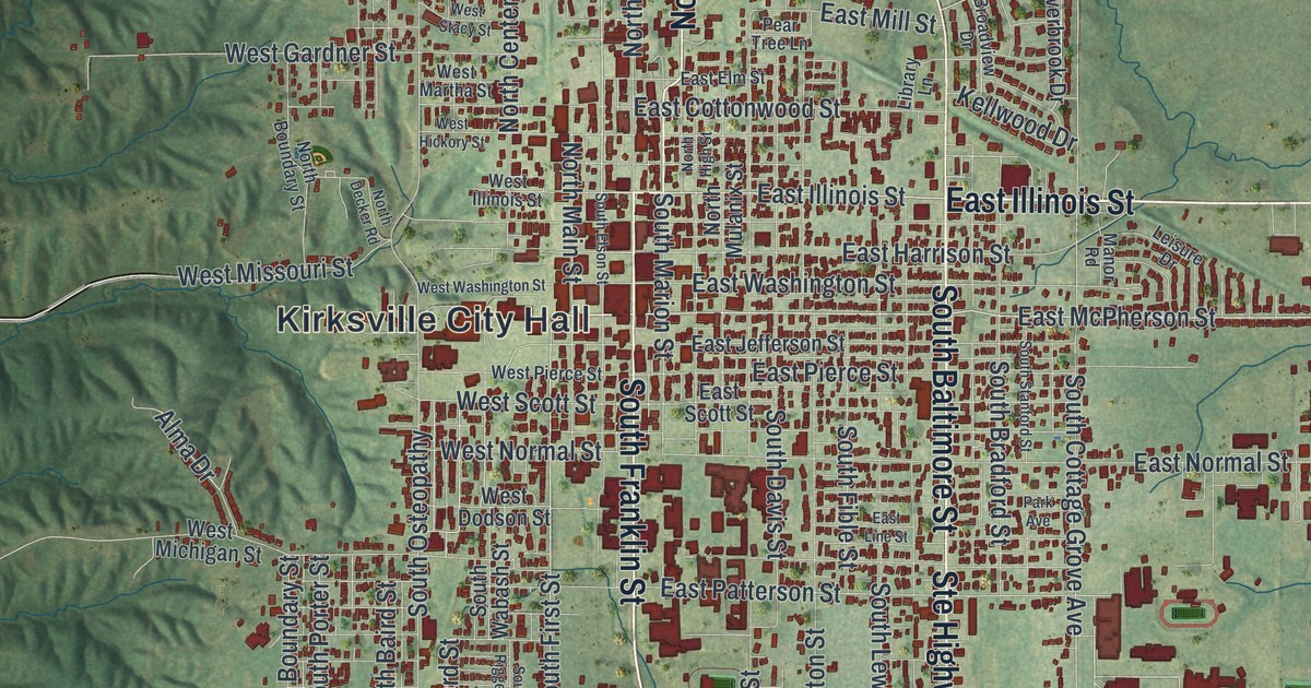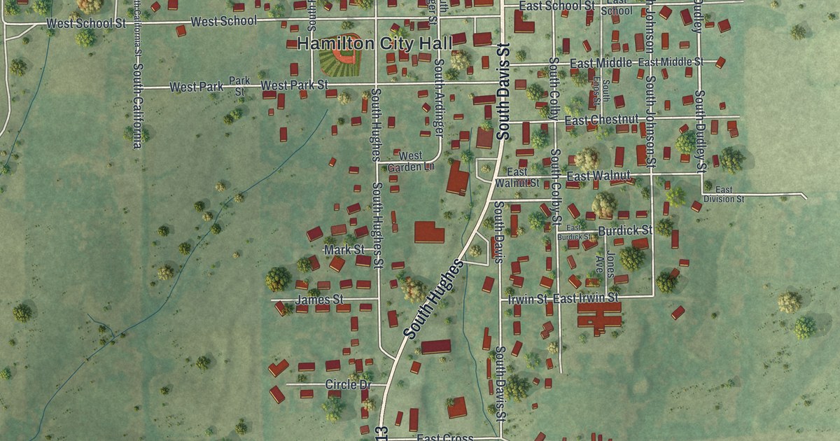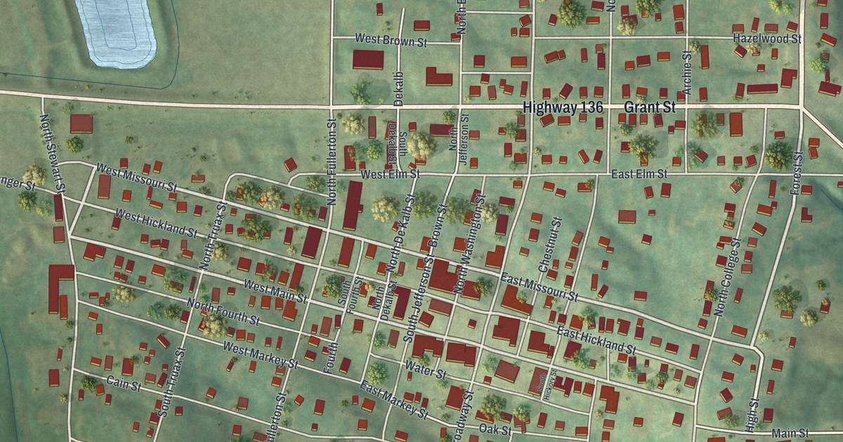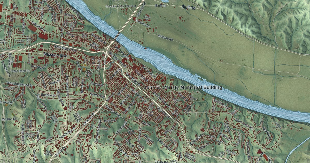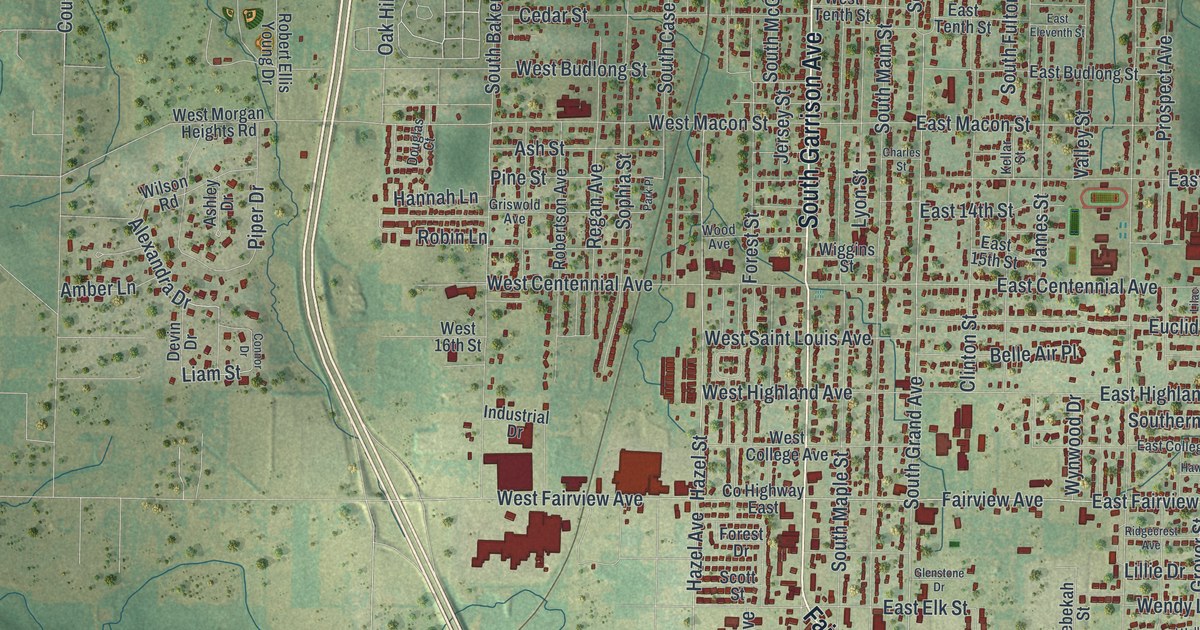
If you grew up in Carthage, look for your old block here. This modern aerial view shows Carthage in Jasper County, Missouri, using modern data with a vintage feel. Red buildings fill the street grid, with green land and blue waterways around it.
Carthage's printing press after the battle
On this map you'll find South Garrison Avenue, South Grand Avenue, Carthage City Hall, West Central Avenue, South Main Street, Civil War Road, Fairlawn Avenue, West Chestnut Street, East Centennial Avenue, South Maple Street, and more. Each red shape is a building, so zoom in on the preview and look for yours.
Civil War Road is one printed name that brings Carthage's wartime past to mind. A 1912 history of Jasper County tells what happened to a printing press after the battle of Carthage. It was turned over to General Price and his army. The Confederacy used it to print enlistment contracts, muster rolls, and other army forms. A tool for printing a local paper had become a tool for running an army.
Keep Carthage and South Garrison Avenue close
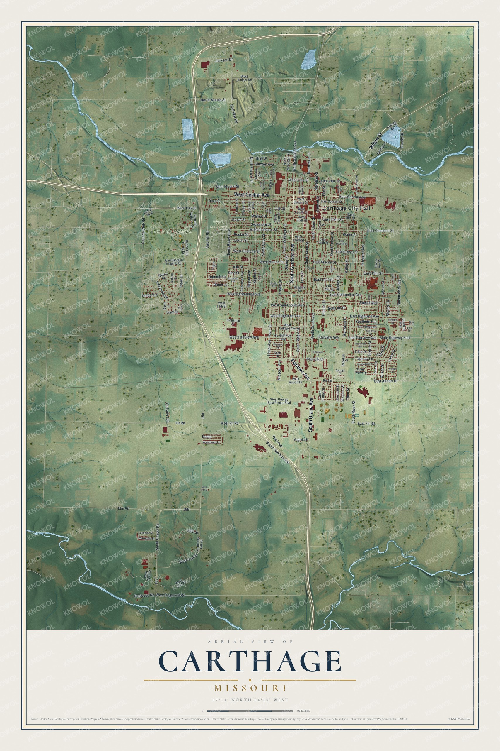
Created by KNOWOL in 2026, the print pairs green shaded terrain with red buildings and pale blue water. A cream border surrounds the view. The title panel reads AERIAL VIEW OF, CARTHAGE, MISSOURI, and 37°11' NORTH 94°19' WEST.
Hang it in a living room, home office, or entryway. It's a thoughtful gift for someone who grew up near South Garrison Avenue and moved away. Open the preview to find a familiar street and take a closer look at home. See sizes and frames for the Carthage map.