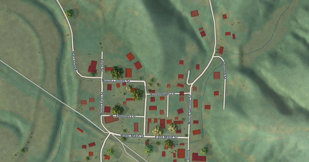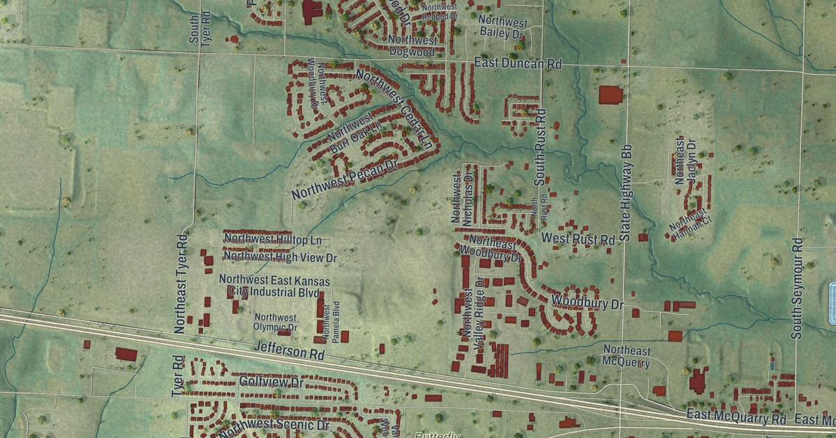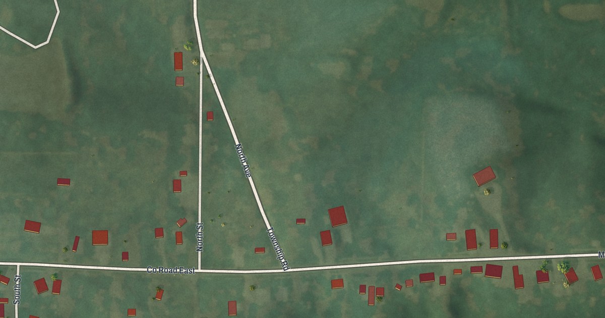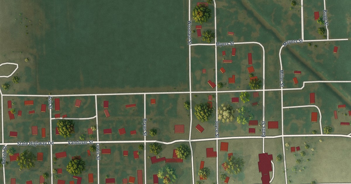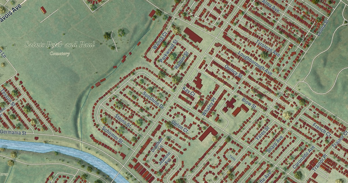
This beautifully detailed map of Boulevard Heights, Missouri was created in 2026 using aerial imagery combined with modern topographical, census, street and landmark data. It’s a one-of-a-kind view of Boulevard Heights that combines accurate data with a vintage aesthetic. The map shows every building in its true location, many of the roads carry their names, and the shaded topographic relief shows the shape of the land.
Explore an aerial view of Boulevard Heights, Missouri
On the map you’ll find River Des Peres Park, Saint Marcus Park, Saints Peter and Paul Cemetery, and Carondelet, along with Gravois Avenue, River City Boulevard, Carondelet Boulevard, Parkwood Drive, Ray Avenue, Al Clare Drive, Germania Street, Weber Road, and more. If you look closely you can even find your house accurately drawn in its correct location. Zoom in on the preview to look for yours.
Take a closer look at the Boulevard Heights map
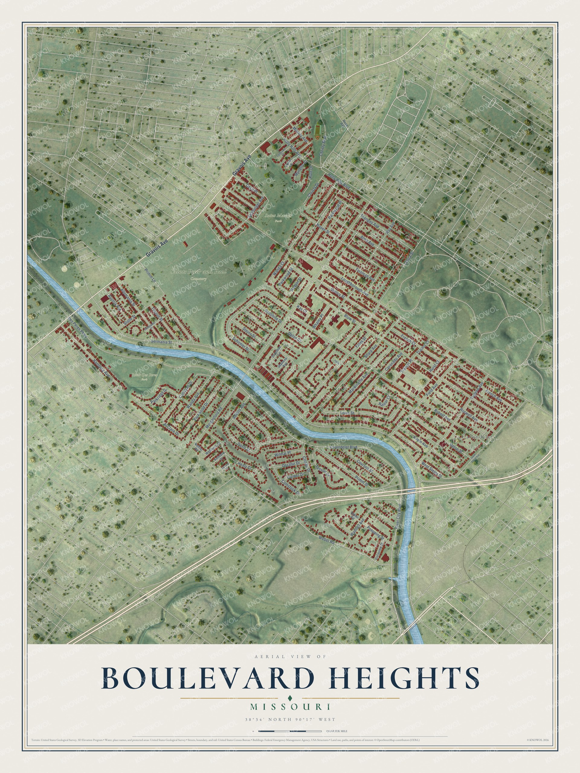
Names on this map
These names are printed on this map.
Places: River Des Peres Park, Saint Marcus Park, Saints Peter and Paul Cemetery and Carondelet.
Streets and roads: Gravois Avenue, River City Boulevard, Carondelet Boulevard, Parkwood Drive, Ray Avenue, Al Clare Drive, Germania Street, Weber Road, Louis Street, Primm Street, Carlsbad Drive, Loughborough Avenue.
More street names, A to Z
Adkins Avenue, Allemania Street, Alma Avenue, Austria Avenue, Blow Street, Cecil Place, Christy Boulevard, Christy Drive, Clymer Drive, Comstock Drive, Coronado Avenue, Courtois Street, Crosby Drive, Davis Street, Decatur Drive, Des Peres Parkway, Dianthan Lane, Didier Road, Eugene Avenue, Field Avenue, French Avenue, French Court, Hamburg Avenue, Haven Street, Healy Court, Holly Hills Avenue, Holly Hills Boulevard, Hurst Court, Jeanene Avenue, Kay Court, Ketmore Drive, Kettler Road, Koeln Avenue, Lavernell Court, Leona Street, Marwinette Avenue, Milentz Avenue, Morganford Road, Myrlette Court, Parkridge Drive, Parkwood Place, Parkwood Street, Poepping Street, Primm Lane, Printz Court, Quincy Street, Radom Street, Rainor Court, Robert Avenue, Rosa Avenue, Roswell Avenue, Ruth Drive, Salzburger Avenue, Schirmer Street, Schroeder Place, Sharp Avenue, South Grand Avenue, Steins Street, Stolle Street, Sunshine Drive, Tesson Court, Tesson Street, Toenges Avenue, Trainor Court, Trainor Place, Tyrolean Avenue, Upton Court, Upton Street, Violaview Drive, Waddell Avenue, Wanda Avenue, Wanda Court, Webmore Drive, Weimar Drive, West Steins Street, Whaley Place, Wilmar Place, Yates, Yates Street.
See it on a wall
The Boulevard Heights map as a framed print. Swipe for more.


This beautifully detailed map of Boulevard Heights makes an attractive addition to your office, library, or den, and it can even be used to teach children the geography and history of the area. It also makes a great gift for anyone with Boulevard Heights roots. When you’re done exploring, click here to get your copy of the Boulevard Heights map.