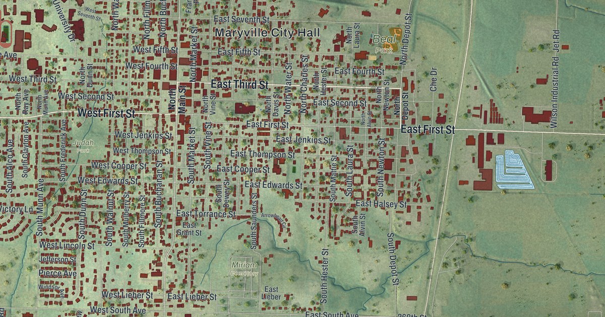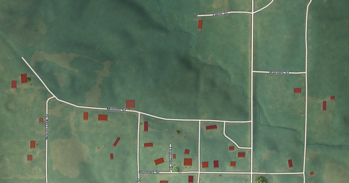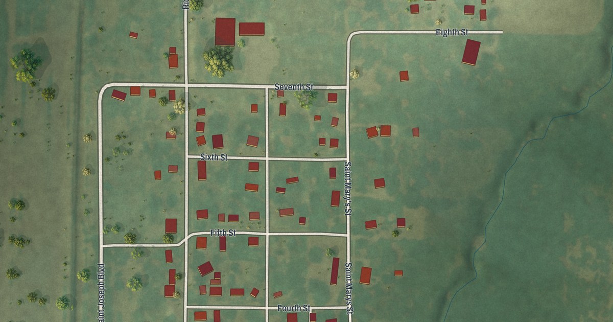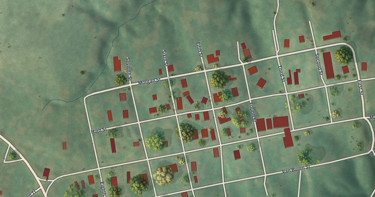
If you've got family in Arrow Rock, this print brings its streets close. It's a modern aerial view of Arrow Rock in Saline County, Missouri, made with modern data and a vintage feel. Red buildings mark the town's neat street grid. Green fields, trees, and shaded slopes fill the land around it.
Main Street and Arrow Rock's first name
On this map you'll find Main Street, High Street, First Street, Morgan Street, Van Buren Street, Second Street, Third Street, Fourth Street, Fifth Street, Sixth Street, Seventh Street, Eighth Street, Park Drive, and more. Each red shape is a building, so zoom in on the preview and look for yours.
Arrow Rock started with a different name. The State Historical Society of Missouri's place-name account says the town was founded in 1829 and called Philadelphia. That's an old name to share with someone who knows it as Arrow Rock. On this modern view, you can pick out Main Street and the small blocks around it. The title below them bears the town's familiar name today.
Arrow Rock on your wall

Created by KNOWOL in 2026, the print pairs soft green land with red buildings and pale roads. A cream border surrounds the view. The title panel reads AERIAL VIEW OF, ARROW ROCK, MISSOURI, with 39°04' NORTH 92°57' WEST below.
Hang it in a living room, office, or entryway to keep Arrow Rock close. It's a gift for family with ties to Main Street or someone who's moved away. Open the preview and take a closer look at the streets you know. See sizes and frames for the Arrow Rock map.