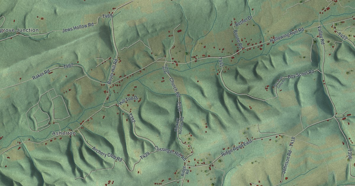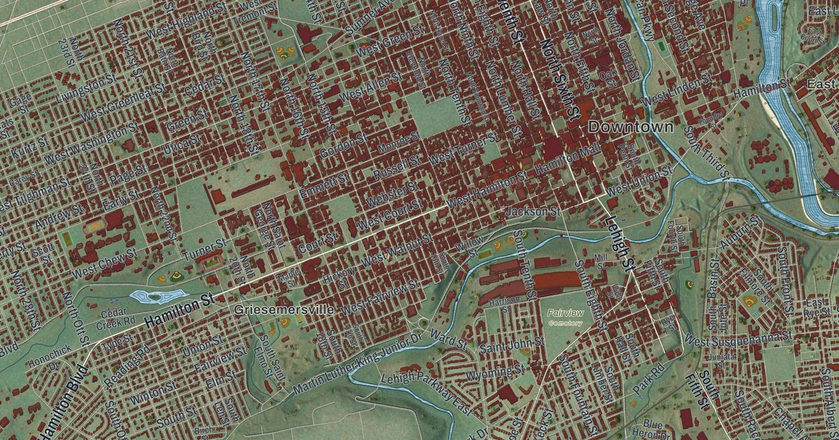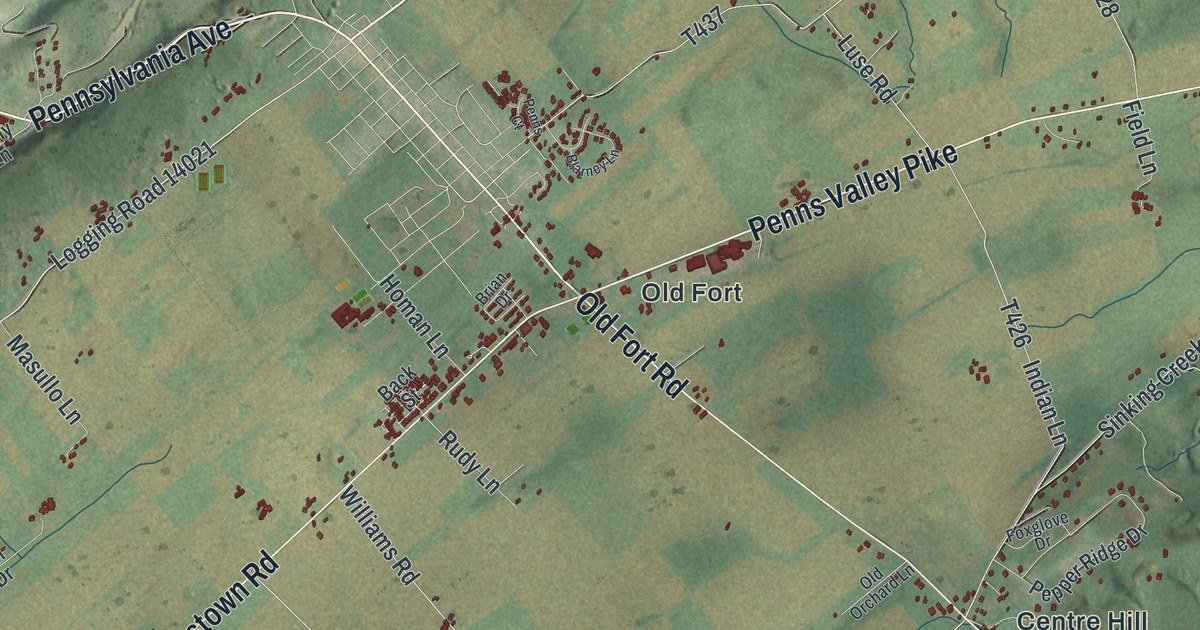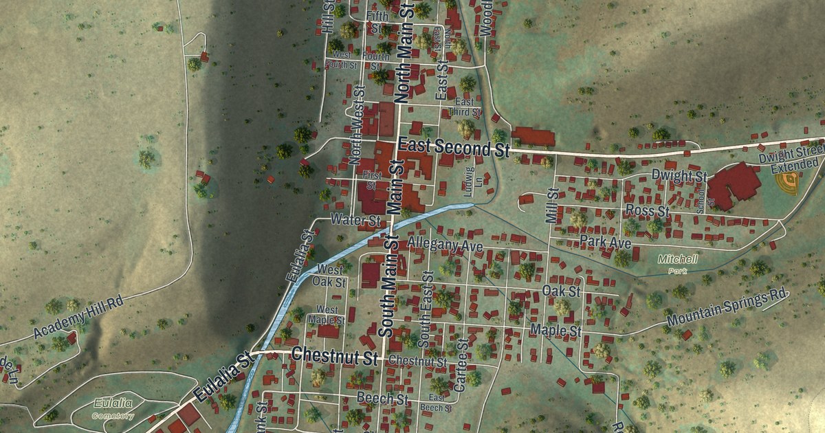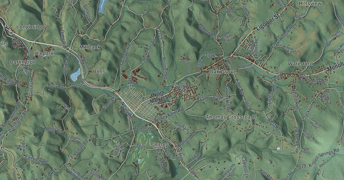
If you grew up in the Ligonier Valley, have family along Lincoln Highway, or spent summer days at Idlewild as a kid, this map will keep you busy. It's a modern aerial view of Ligonier Township in Westmoreland County, Pennsylvania, drawn from modern data with a soft vintage feel. The whole valley sits between two long green ridges. The town grid at the center shows up as a tight cluster of red buildings. Around it, Laughlintown, Wilpen, Waterford and Rector are printed as smaller clusters along the roads.
Lincoln Highway, Laughlintown, Wilpen and Rector on the map
On this map you'll find Lincoln Highway, Menoher Highway, Ligonier Street, North Market Street, Laughlintown, Wilpen, Waterford, Rector, Darlington, Buttermilk Falls, Idlepark, Thomas Crossroads, California Furnace, Linn Run Road, Forbes State Forest, and more. Each red shape is a building, so zoom in on the preview and look for yours.
How Idlewild started as a picnic ground in 1878
The story the township is best known for is Idlewild. A state historical marker on Lincoln Highway calls it the longest-operating amusement park in Pennsylvania and one of the oldest in the country. In 1878, Thomas Mellon leased land along his Ligonier Valley Railroad and opened a picnic ground there. He hoped the picnics would put more riders on his trains. Rides started showing up in the 1890s. Several rides from the 1930s still run today. The park outlasted the railroad, two World Wars and the Great Depression.
That railroad was brand new at the time. An 1882 county history says the Ligonier Valley Railroad was a narrow-gauge line from Latrobe to Ligonier, ten and a third miles long, finished in 1878. Crews had graded it in 1872 and 1873 for a wider track, but the panic of 1873 stopped the work. Once the trains ran, timber, railroad ties, posts and bark from the valley had a way to market. The book says the town's population about doubled between 1870 and 1880. On the map, the marker's stretch of Lincoln Highway sits between the town center and the printed names Idlepark, Darlington and Longbridge.
Laughlintown, the Compass Inn and Old Forbes Road
Two more spots are worth finding. In Laughlintown, the Compass Inn stands at the corner of Lincoln Highway and California Avenue. It went on the National Register of Historic Places in 1995. East of town, Old Forbes Road carries a marker for Bullet's Defeat. On May 22, 1759, French and Indian troops attacked 100 Virginians under Captain Thomas Bullet near there. The men were hauling supplies from Bedford to Fort Ligonier. More than 40 of them became casualties, and much of what they carried was lost.
For anyone who knows Lincoln Highway through the Ligonier Valley
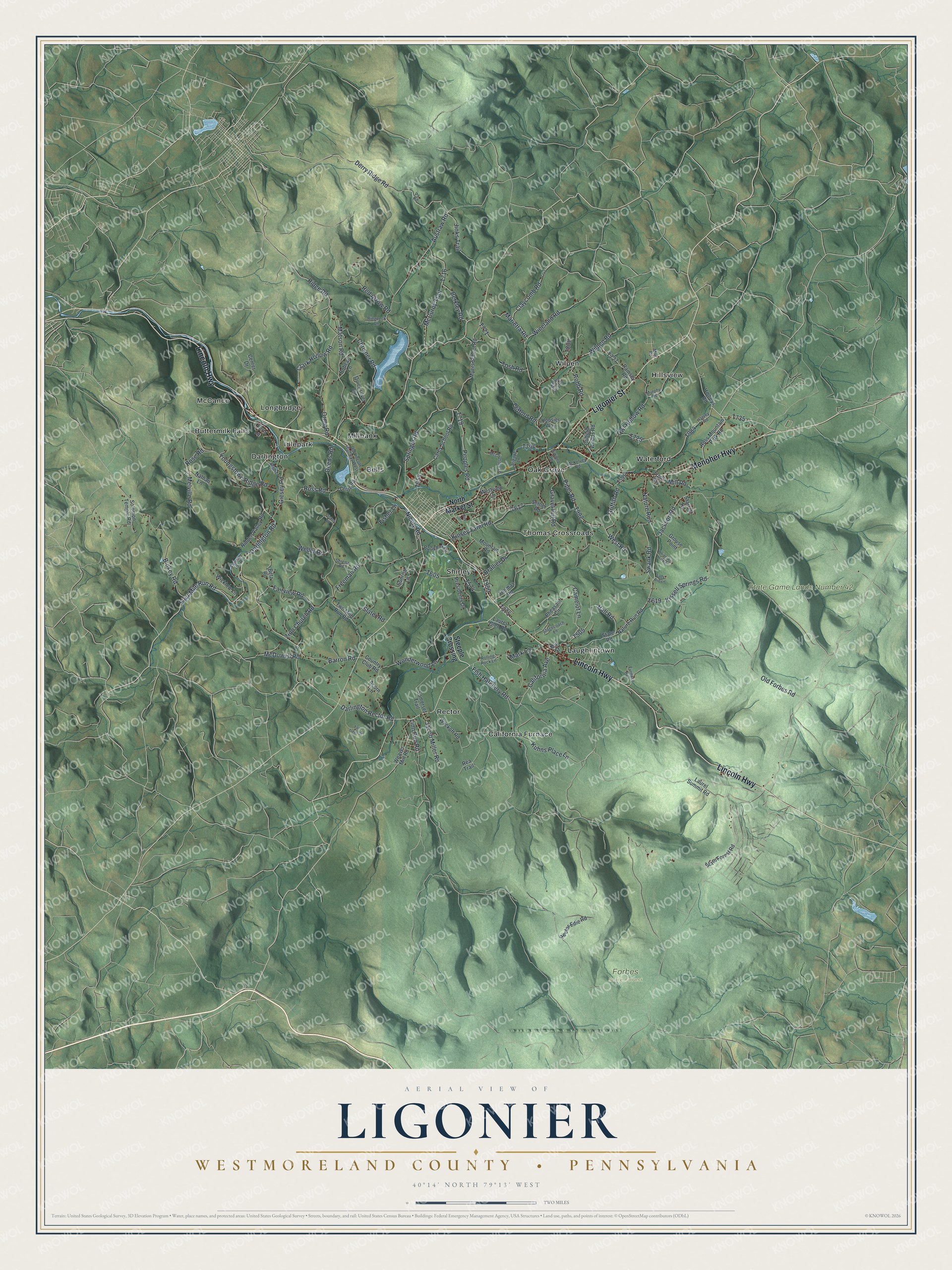
Created by KNOWOL in 2026, this Ligonier Township map shows two long ridges shaded in green with the valley floor between them. Roads are pale lines, streams are thin blue threads, and buildings are small red shapes that cluster at the town center and along Lincoln Highway. The title panel reads "Aerial View of Ligonier" over "Westmoreland County, Pennsylvania," with the coordinates 40°14' North, 79°13' West and a two-mile scale bar.
It suits a den, a kitchen wall or an office. It's a good gift for someone who grew up along Lincoln Highway, spent summer days at Idlewild, or moved away from the valley and still calls it home. Open the watermarked preview, find Laughlintown or your own road, and then choose your print. See sizes and frames for the Ligonier, Westmoreland County map.