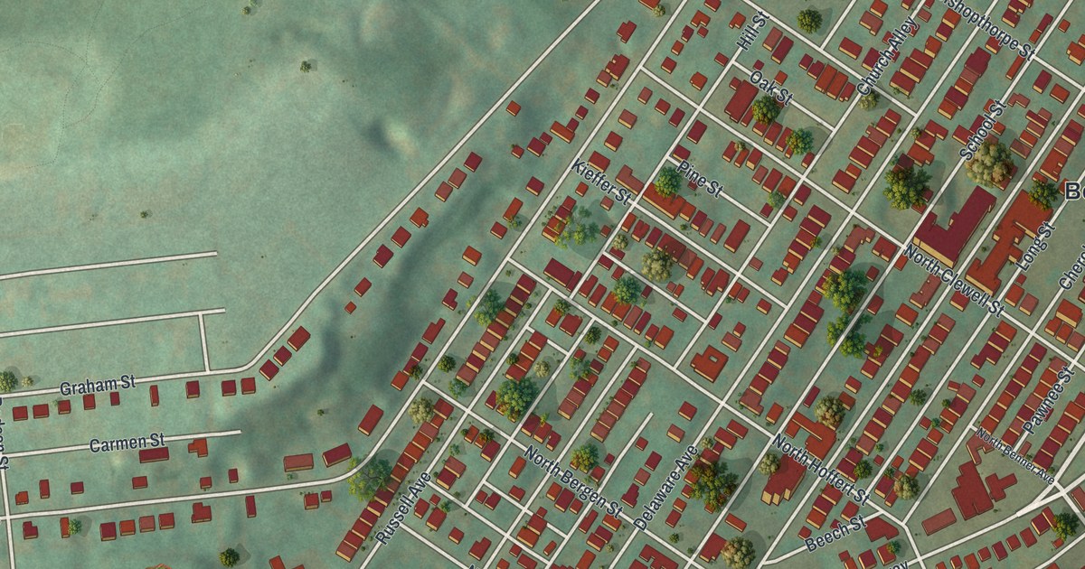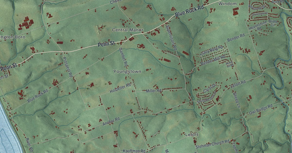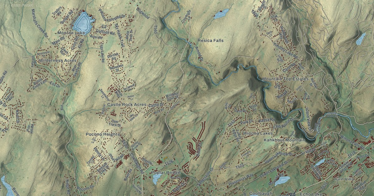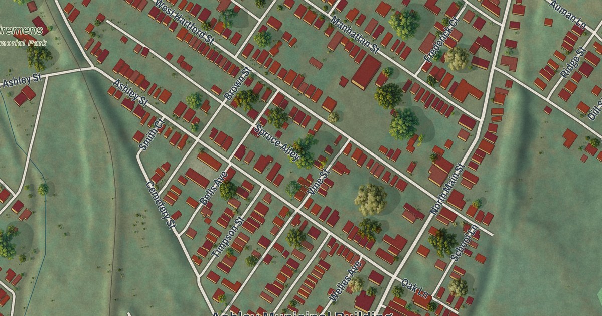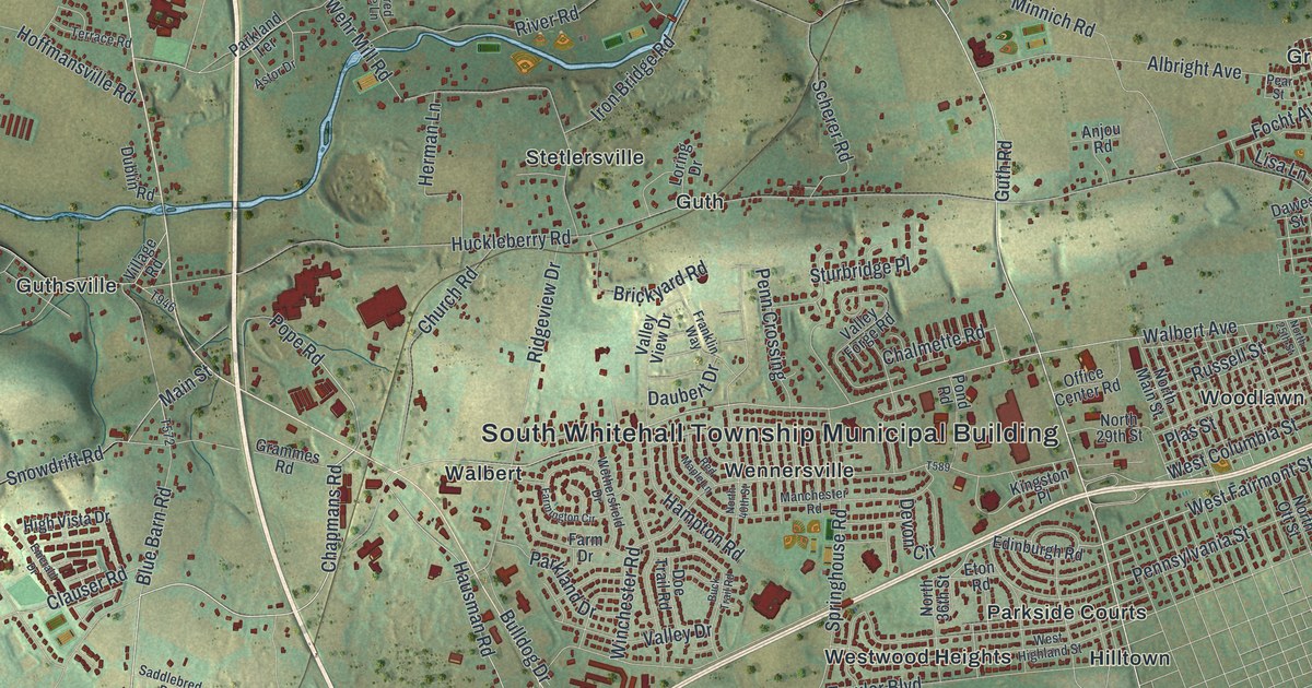
If you grew up in South Whitehall, look for your old neighborhood here. This modern aerial view of South Whitehall in Lehigh County, Pennsylvania pairs modern data with a vintage feel. Red buildings gather along pale roads, with green hills and blue streams between them. Names like Cetronia and Greenawalds help you find familiar ground.
Guth and South Whitehall's Early Land Records
On this map you'll find Hamilton Boulevard, West Tilghman Street, Walbert Avenue, North Cedar Crest Boulevard, Huckleberry Road, Guth Road, Cetronia, Dorneyville, Greenawalds, Guthsville, Guth, Crackersport, and more. Each red shape is a building, so zoom in on the preview and look for yours.
The 1914 History of Lehigh County records a land grant to Lorenz Guth. Several tracts in South Whitehall were granted to him on May 28, 1760. On this map, you can spot the Guth name in Guth, Guthsville, and Guth Road. The old record gives that familiar name a place in the township's early history.
Keep South Whitehall Close
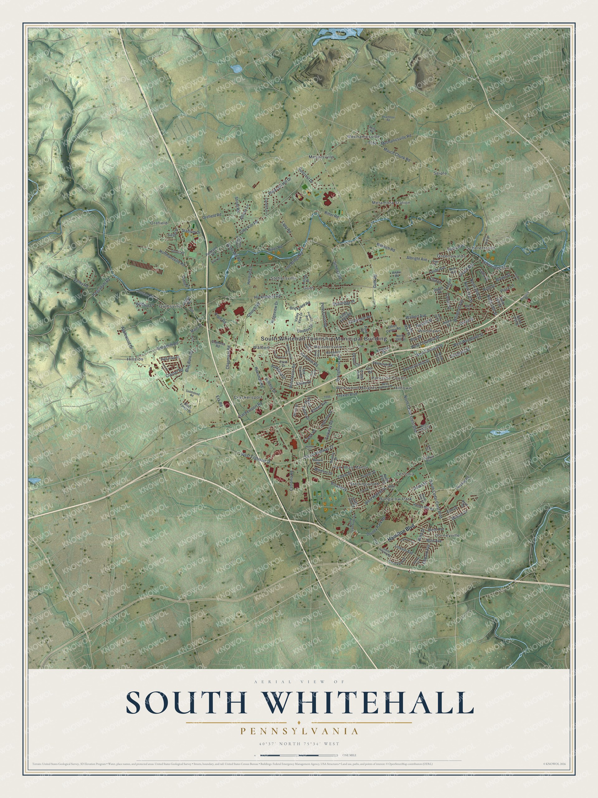
Created by KNOWOL in 2026, the print uses soft greens, blue waterways, red buildings, and a cream border. The title panel reads AERIAL VIEW OF, SOUTH WHITEHALL, PENNSYLVANIA, and 40°37' NORTH 75°34' WEST.
Hang it in a living room, office, or entryway. It's a gift for someone who grew up in Cetronia and wants to keep home close. Open the preview to look for a familiar street or your family's block. See sizes and frames for the South Whitehall map.