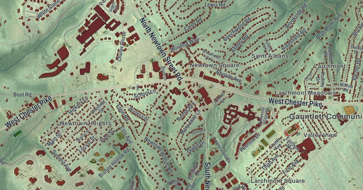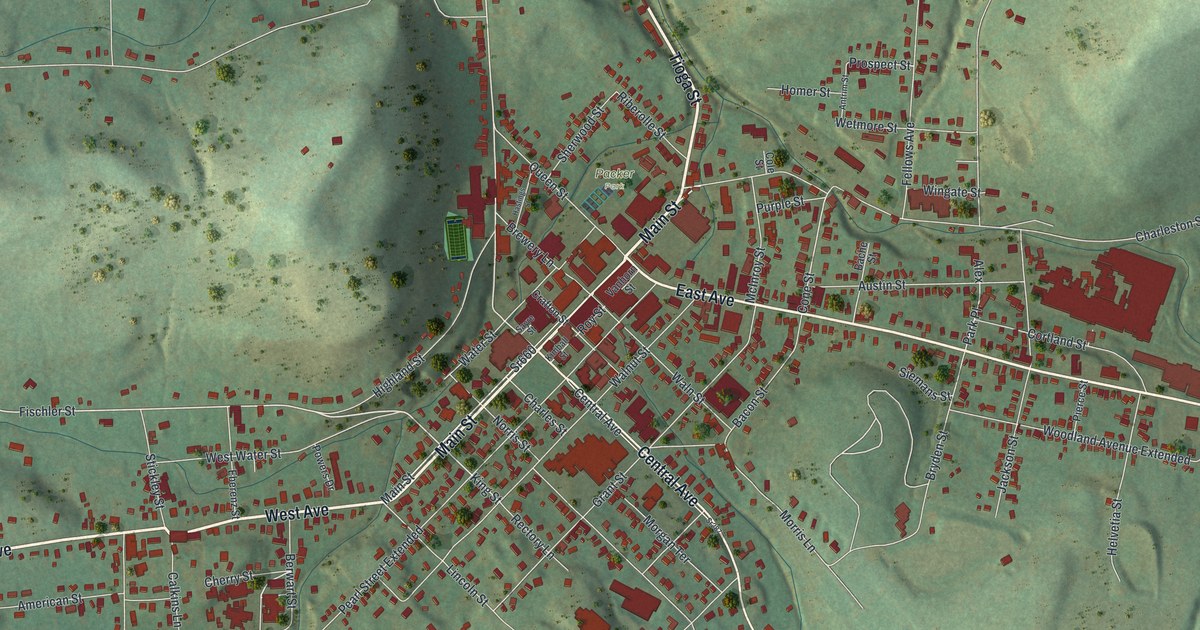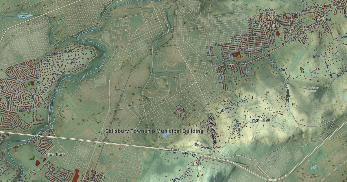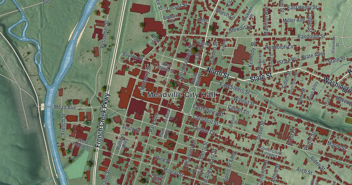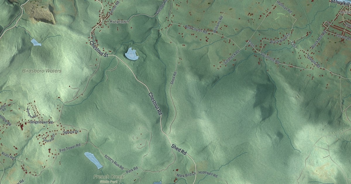
If you grew up in Geigertown, Monocacy or Unionville, or spent summer days at French Creek State Park, this map is for you. It's a new aerial view of Union Township in Berks County, Pennsylvania, made from modern data and given a vintage feel. The Schuylkill River bends across the top. Green hills fill the middle. Small red buildings line the roads between the villages.
What you'll find on the Union Township map
On this map you'll find East Main Street, Main Street East, Schuylkill Road, Chestnut Street, Chestnut Road, Shed Road, Hopewell Road, Mark Bird Lane, Geigertown Road, Haycreek Road, Fire Tower Road, Scott's Run Road, Birdsboro Waters, French Creek State Park, Kulptown, Mount Airy, and more. Each red shape is a building, so zoom in on the preview and look for yours.
Hopewell Road, Mark Bird Lane and the iron furnaces
Union Township was iron country. The 1886 History of Berks County names the Hopewell and Monocacy furnaces as the main iron works here. By then, it says, Monocacy had been running for one hundred and twenty years. A state marker tells how Hopewell began. William Bird built the forge in 1744. His son Mark built the furnace in 1770. In 1764, Mark Bird held 1,000 acres in the township. Today the National Park Service cares for the old furnace and what's left of its iron village. On the map, Hopewell Road and Mark Bird Lane sit near French Creek State Park. Monocacy is up by the river.
Why Union Township is called Union
The township was formed in 1753. Its name came from a union of two pieces of land. One piece came from Coventry Township in Chester County. The other came from Robeson Township in Berks County. Small mills grew up along the creeks. Paul Geiger built a feed and clover mill on a branch of Hay Creek, in the southwest part of the township. Look for Geigertown and Haycreek Road in the lower left of the map.
Union Township from the Schuylkill to French Creek
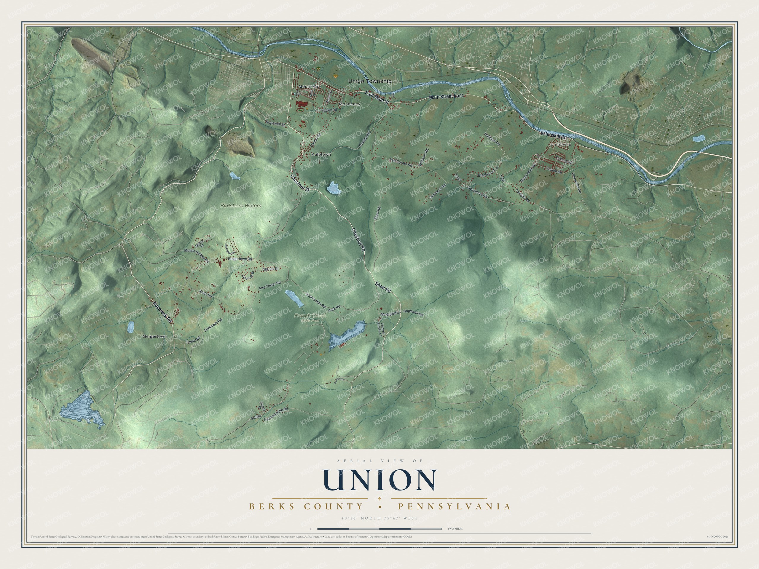
Created by KNOWOL in 2026, this print shows Union Township in soft greens and blues, with shaded hills, the Schuylkill River and small red buildings. The title panel reads "Aerial View of Union," with "Berks County • Pennsylvania" and 40°16' North 75°47' West beneath it.
It suits a den, a hallway or a cabin wall. It's a good gift for someone who grew up near Geigertown or hiked at French Creek State Park, or for family who moved away from the river towns. Open the preview and find the roads you know. See sizes and frames for the Union, Berks County map.