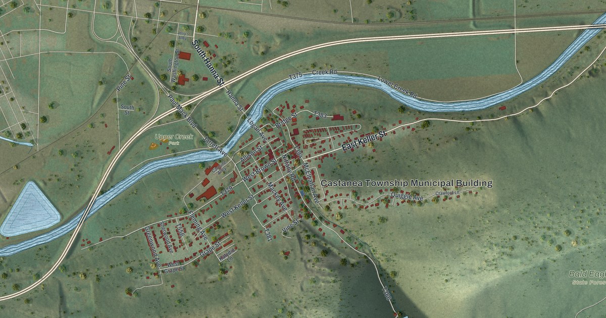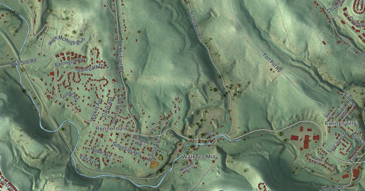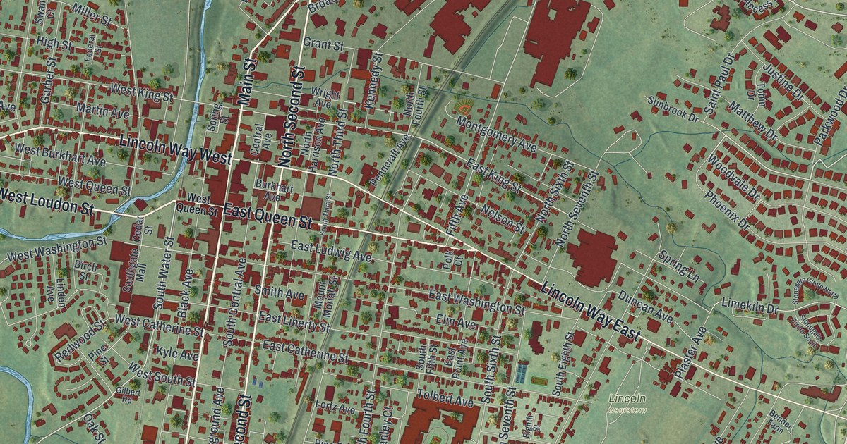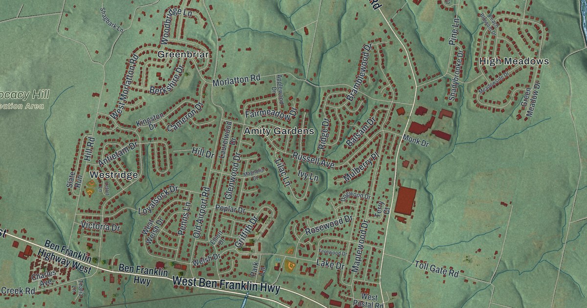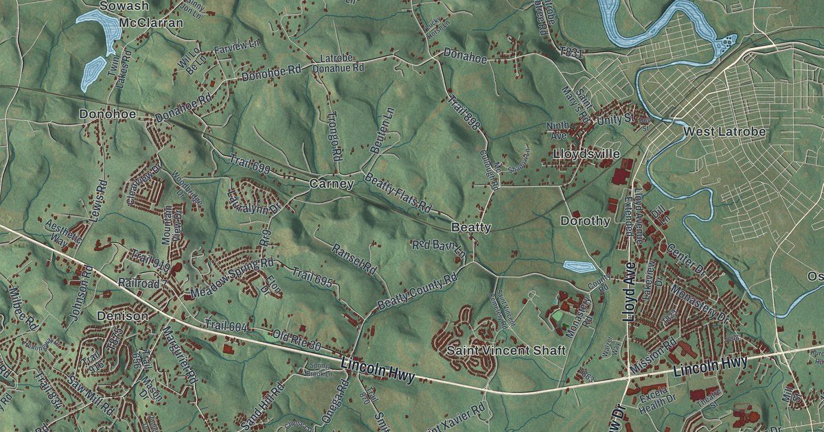
If you studied at Saint Vincent, grew up along Lincoln Highway, or still have family out in Pleasant Unity, this is your township from above. It's a new aerial view of Unity Township in Westmoreland County, Pennsylvania, made from modern data and given a vintage look. Green hills fold across the whole sheet in soft shaded relief. Thousands of small red shapes mark homes and buildings, packed thickest around Lloyd Avenue and Pleasant Unity Road. A blue river winds through the top right, and the land rises into bright, open ridges in the lower right.
Lincoln Highway, Pleasant Unity and more on the map
On this map you'll find Lincoln Highway, Pleasant Unity Road, Lloyd Avenue, Main Street, Arnold Palmer Drive, Monastery Drive, Saint Vincent Cemetery Road, Saint Xavier Road, Beatty County Road, Youngstown Ridge Road, Pleasant Unity, Crabtree, Saint Vincent Shaft, West Latrobe, and more. Each red shape is a building, so zoom in on the preview and look for yours.
How Saint Vincent Archabbey started in 1846
Saint Vincent is the best-known story in Unity. A Pennsylvania state historical marker tells the story. Boniface Wimmer founded Saint Vincent Archabbey, College, and Seminary in 1846. He built it on the site of a Catholic parish from 1789. It was the first place in the United States started by monks of the Order of Saint Benedict. The state chartered the college in 1870. Today, ten abbeys and colleges in eight states trace their roots back to it. The archabbey's gristmill is listed on the National Register of Historic Places. On the map, the names Saint Vincent Shaft, Monastery Drive and Saint Vincent Cemetery Road help you find the area.
Kingston House on Lincoln Highway
Lincoln Highway has its own history. Another state marker along the highway points to Kingston House. William F. Johnston was born near here in 1808 and served as governor of Pennsylvania from 1848 to 1852. His father built the house in 1815, and it was the future governor's boyhood home. Kingston House joined the National Register in 1983.
A map of home for Saint Vincent and Pleasant Unity
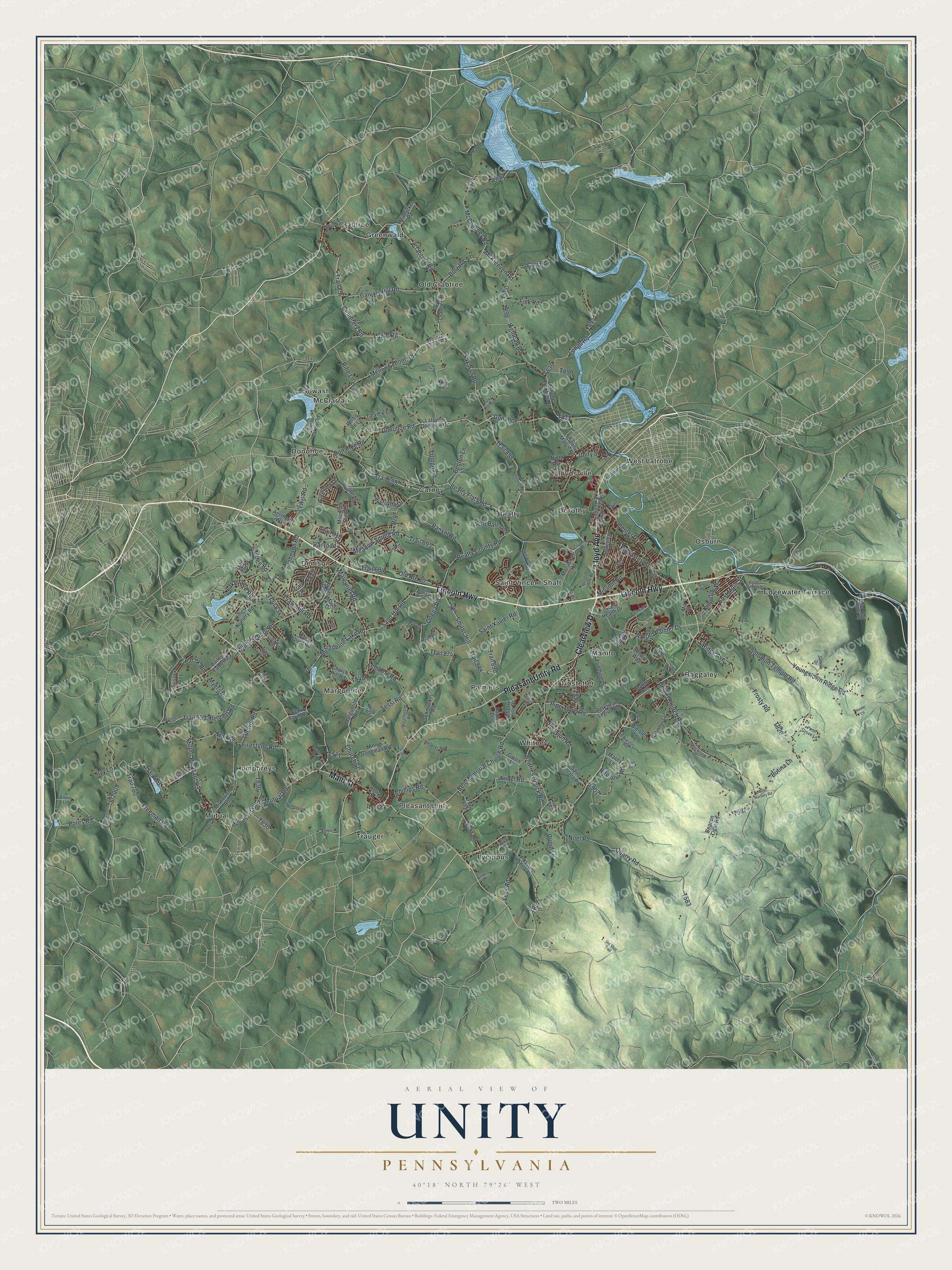
Created by KNOWOL in 2026, this print shows Unity's hills in soft green shaded relief, with blue water, pale roads and small red buildings. The title panel reads "Aerial View of Unity, Pennsylvania" with 40°18' North 79°26' West set beneath it.
It fits well in a living room, a home office or a den. It's a thoughtful gift for a Saint Vincent graduate, or for anyone who grew up near Pleasant Unity and moved away. Open the preview and find your road. See sizes and frames for the Unity map.