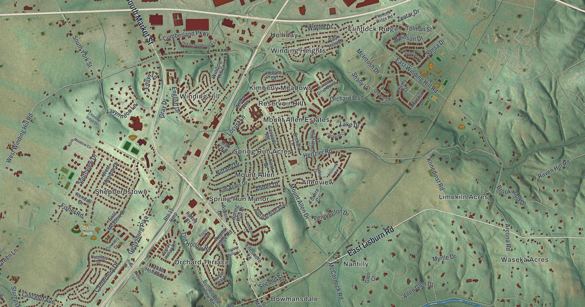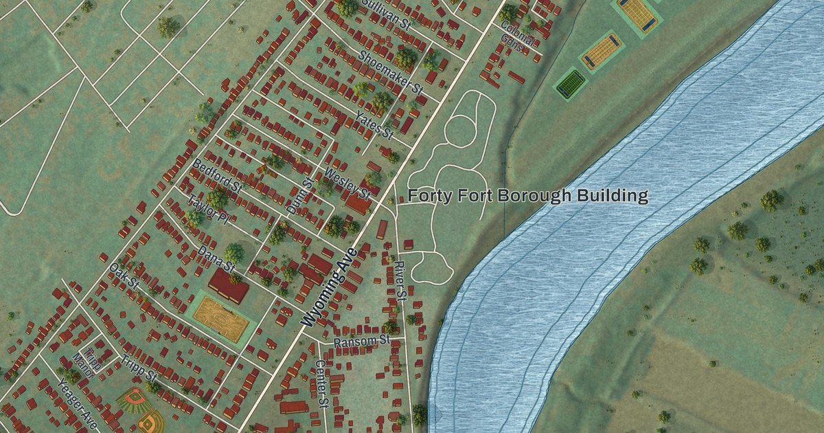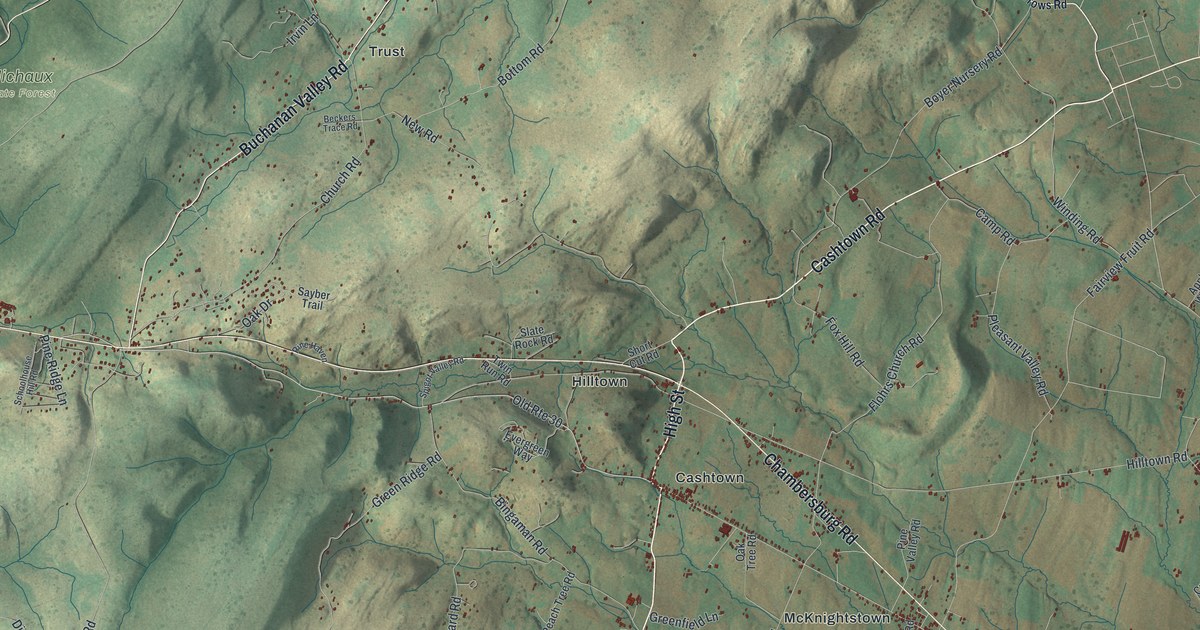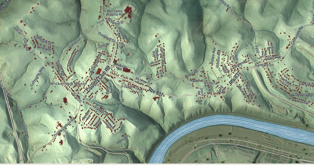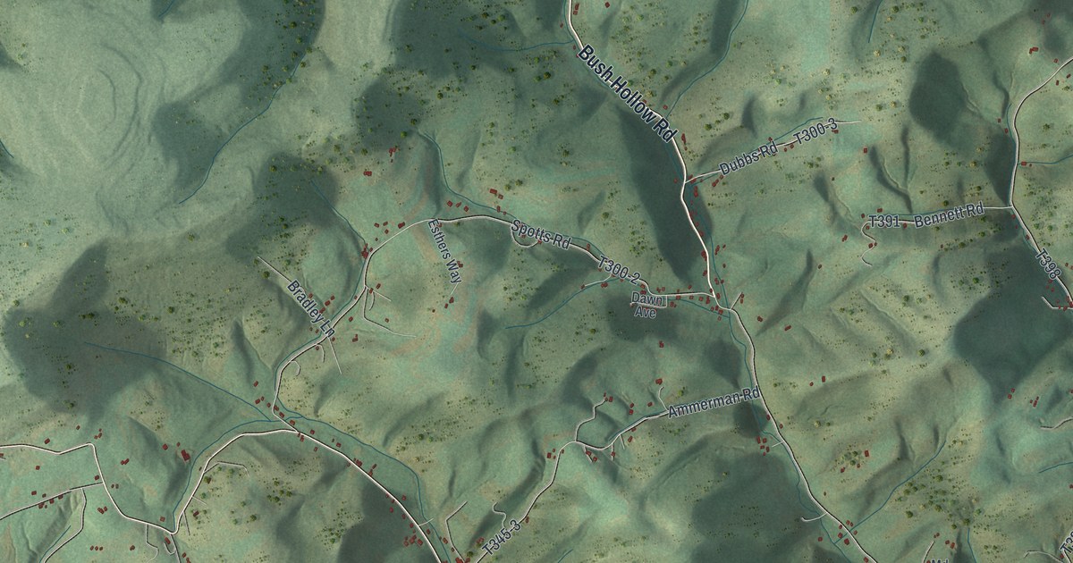
If you live along South Eagle Valley Road or know the hollows below State Game Lands Number 103, this map is for you. It's a modern aerial view of Union Township in Centre County, Pennsylvania, built from modern data and printed with a vintage feel. Shaded ridges and deep hollows fill the top of the sheet. A long, open valley crosses the bottom, with a thin blue creek winding through it and country roads climbing up from the valley floor.
Rattlesnake Pike, Bush Hollow Road and more
On this map you'll find South Eagle Valley Road, Rattlesnake Pike, Bush Hollow Road, Chestnut Grove Road, Unionville Pike, Egypt Hollow Road, Snow Shoe Road, Governors Road, Dix Run Road, Wallace Run Road, Poor Farm Lane, Stage Coach Lane, Eagle Creek, State Game Lands Number 103, and more. Each red shape is a building, so zoom in on the preview and look for yours.
Thomas Parsons, Union's first settler in 1770
The first settler in what's now Union Township was Thomas Parsons. The History of Centre and Clinton Counties, printed in 1883, says he came from Maryland with his family in 1770. He took up 230 acres. Part of that land is now in Union, and part is in Huston Township. Back then the Bald Eagle valley was a huge forest. The only roads were narrow bridle paths. Parsons built his cabin on the bank of the creek, close to today's township line.
As far as he knew, just two other families lived in the valley. Both were at Milesburg, and one was the family of Andrew Boggs. For six years, Parsons and his wife lived in the woods with no closer neighbors. He cleared a little land and raised crops. The book calls him a hardy pioneer who had made up his mind to live a backwoods life.
Union still sits in that valley. On the map, look at the wide, open strip across the bottom, where South Eagle Valley Road runs beside the winding blue creek near Eagle Creek. That valley floor is where the township's settled story starts.
A print of Union Township and the Eagle Creek valley
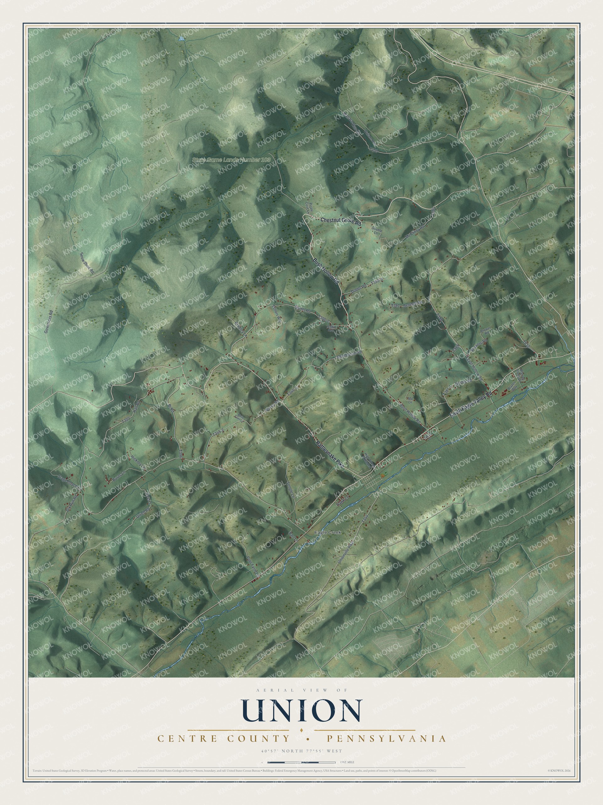
Created by KNOWOL in 2026, this print shows Union's hills in soft greens, with shaded ridges, small red buildings and a thin blue creek. The title panel reads "Aerial View of Union" with "Centre County • Pennsylvania" below it and the coordinates 40°57' North 77°55' West.
It fits a den, a home office, a hunting camp or a hallway where family photos hang. It's a thoughtful gift for someone who grew up off Rattlesnake Pike or moved away from the Eagle Creek valley. Open the preview and find your road. See sizes and frames for the Union, Centre County map.