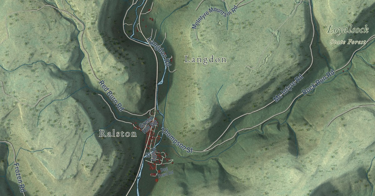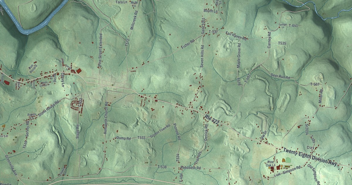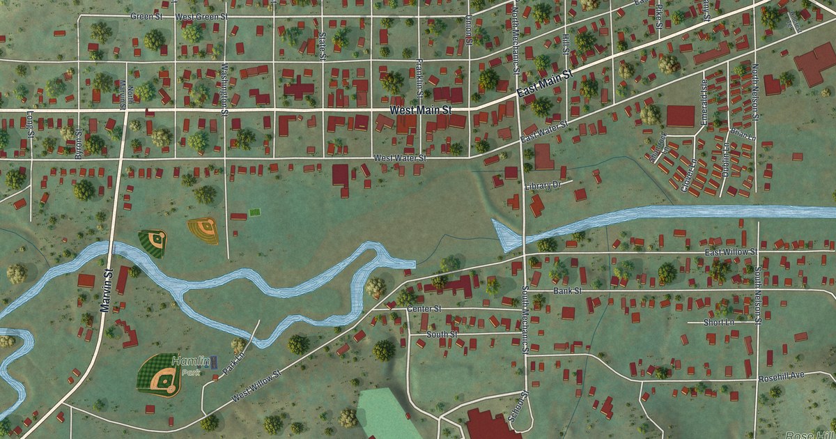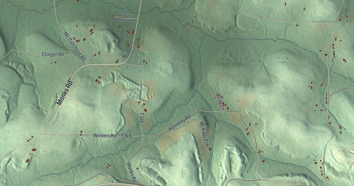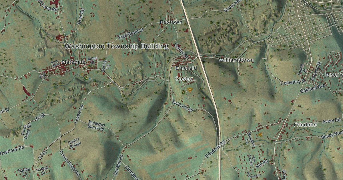
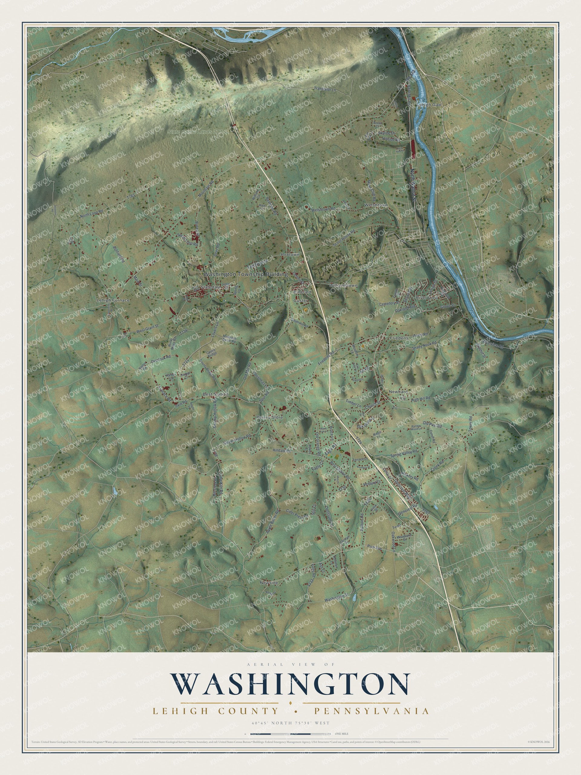
This beautifully detailed map of Washington, Lehigh County, Pennsylvania was created in 2026 using aerial imagery combined with modern topographical, census, street and landmark data. It’s a one-of-a-kind view of Washington that combines accurate data with a vintage aesthetic. The map shows every building in its true location, many of the roads carry their names, and the shaded topographic relief shows the shape of the land.
Explore an aerial view of Washington, Lehigh County, Pennsylvania
On the map you’ll find Washington Township Building, State Game Lands 217, Best Station, Custer, Emerald, Friedens, Lehigh Furnace, Lehigh Gap, Newhard, Newside, Peters Store, Rextown, and more. If you look closely you can even find your house accurately drawn in its correct location. Zoom in on the preview to look for yours.
Did you know this piece of Washington, Lehigh County, Pennsylvania history?
Washington Township was cut from the eastern part of Heidelberg Township in 1847 and first named Dallas Township. Voters held one election under that name, in March 1848. On April 21, 1848, the state assembly changed the name to Washington, so those first officers were also the last ones Dallas ever had. That’s from the 1914 History of Lehigh County, Pennsylvania.
Take a closer look at the Washington, Lehigh County map
Street and place names on the Washington, Lehigh County, Pennsylvania map
These names are printed on the map of Washington, Lehigh County, Pennsylvania.
Places: Washington Township Building, State Game Lands 217, Best Station, Custer, Emerald, Friedens, Lehigh Furnace, Lehigh Gap, Newhard, Newside, Peters Store, Rextown, River View, Slatedale, Welshtown and Williamstown.
Streets and roads: North Walnut Street, Old Post Road, Park Avenue, East Grant Street, Cemetery Street, Grove Street, Mountain Road, Main Street, Furnace Road, Best Station Road, Ashfield Road, High Hill Road.
More street names, A to Z
Acorn Court, Apple Butter Road, Armstrong Lane, Ash Court, Avery Road, Bottom Road, Brown Street, Bruce Lane, Carolyn Drive, Center Street, Christmas Lane, Church Street, Cider Press Road, Clover Hollow Road, County Bridge Road, Coutry Bridge, Creek Road, Cutoff Road, Deer Road, Dogwood Circle, Eagle Circle, Eagle Road, Elm Tree Drive, Fourth Street, Friedens Road, Glencrest Boulevard, Glencrest Road, Harbor Court, Harbor Lane, Harter Road, Hickory Road, High Point Lane, Hilldale Road, Hill Road, Hillside Road, Hoffman Lane, Irvin Road, Jay Street, Jonas Street, Jones Road, Kern Alley, Kingstead Drive, Lamar Court, Laurel Lane, Leah Drive, Lehigh Street, Lime Kiln Road, Lovers Lane, Lower Court, Mack Lane, Maple Tree Lane, Meadow Lane, Mill Creek Road, Molasses Barrel Road, North Loop Road, Oak Drive, Oakland Avenue, Oak Ridge Drive, Oakwood Lane, Old Grange Road, Old Mill Road, Opossum Lane, Overlook Road, Paint Mill Road, Park Street, Pin Oak Lane, Rachel Drive, Ramble Wood Lane, Reservoir Road, Rextown Road, Ridge Lane, Rip Court, Riverview Road, Route 873, Saegersville Road, Scout House Road, Second Street, Shady Nook Road, Skeet Club Road, Skyline Drive, Smith Hill Road, South Loop Road, Spring Lane, Spring Valley Road, Spur Road, Still Court, Swamp Hollow Road, Terrace Lane, Tie Road, Timber Lane, Tower Road, Translator Lane, Trestle Lane, Trout Road, Valley Road, Ventura Drive, Venture Court, Vista Drive, Walnut Street, Washington Street, Welshtown Road, West Grant Street, William Circle, Windy Ridge Road, Woodbury Drive, Woodland Drive.
See the Washington, Lehigh County, Pennsylvania map on a wall
The Washington, Lehigh County map as an 18 x 24 inch print in a black frame.

This beautifully detailed map of Washington, Lehigh County makes an attractive addition to your office, library, or den, and it can even be used to teach children the geography and history of the area. It also makes a great gift for anyone who grew up in Washington or moved away. When you’re done exploring, click here to get your copy of the Washington, Lehigh County map.