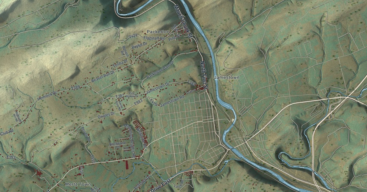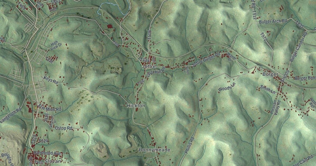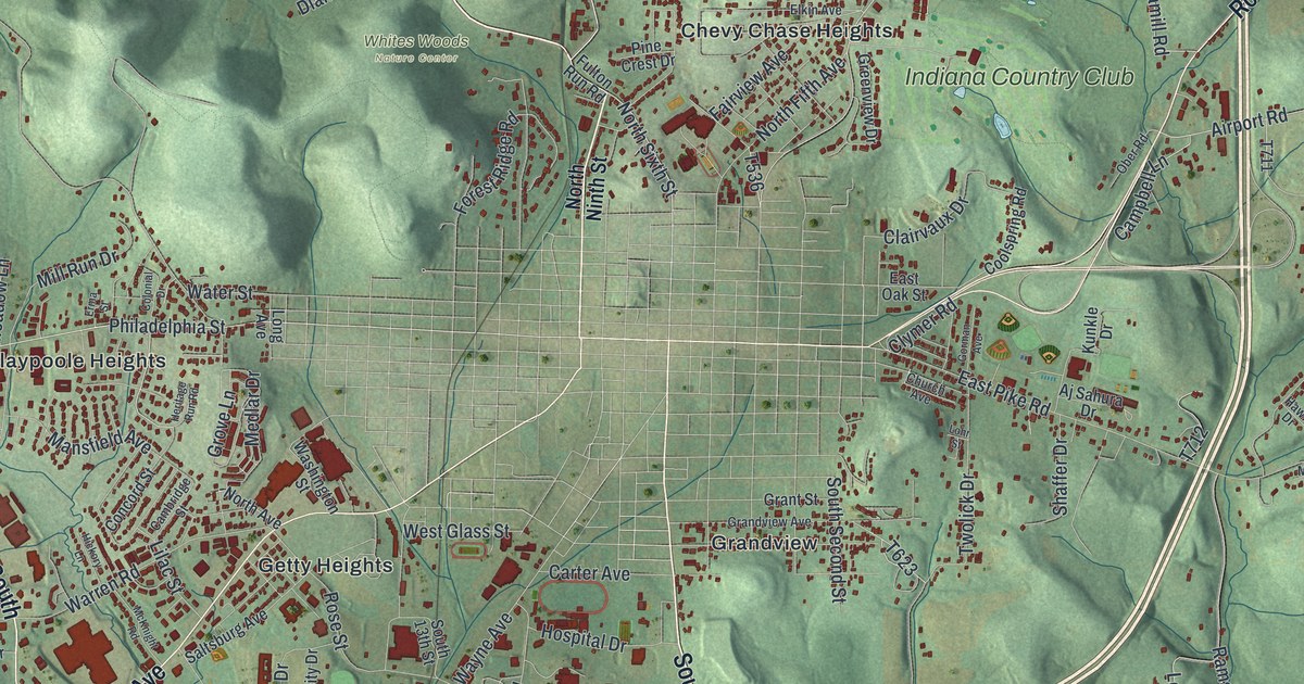
If you grew up in Ben Avon, Chevy Chase Heights or out on Fulton Run Road, this map was made with you in mind. It's a modern aerial view of White Township in Indiana County, Pennsylvania, drawn from modern data and given a warm vintage look. Green hills rise and fold across the whole sheet. Red shapes mark the homes, schools and stores. Blue creeks wind through the valleys, and a long blue lake sits on the right side. The streets of the township ring the town of Indiana in the middle.
Moorhead's Fort on Philadelphia Street
On this map you'll find Philadelphia Street, Oakland Avenue, Wayne Avenue, South Sixth Street, Ben Franklin Road South, West Pike Road, Indian Springs Road, Whites Woods Nature Center, Indiana Country Club, Claypoole Heights, Getty Heights, Ben Avon, Upper Two Lick, College Lodge Road, and more. Each red shape is a building, so zoom in on the preview and look for yours.
White Township's story starts with one family and a log fort. About 1781, a pioneer named Fergus Moorhead built a fort to keep his family and neighbors safe from attack. It was the first permanent settlement in this area, says a state marker from the Pennsylvania Historical and Museum Commission. The marker spells his name Morehead. It stands on Philadelphia Street near College Lodge Road, just west of Indiana. The fort stood near the buildings about 200 yards south of that spot. Find those two printed roads on the left half of the map, and you're looking at where the first settlers put down roots.
Absalom Hazlett and South Sixth Street Extended
Another marker stands on South Sixth Street Extended, south of town. It honors Absalom Hazlett, also called Albert, who was born and raised near here. He was a staunch abolitionist. In 1859 he served as a lieutenant in John Brown's army in the raid on Harper's Ferry. The raid aimed to arm enslaved people so they could fight for their own freedom. It failed. Hazlett was caught, tried and hanged in 1860. The marker says the raid helped lead to the Civil War.
From Whites Woods to Ben Avon
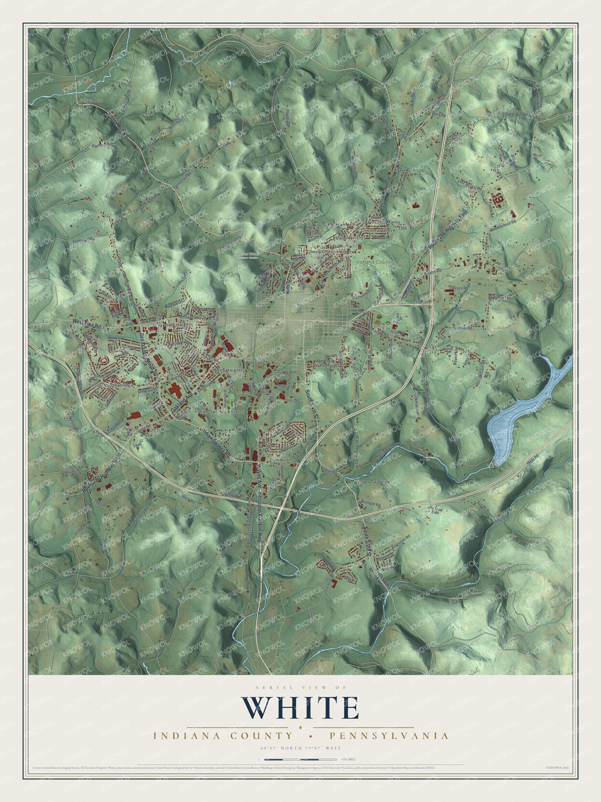
Created by KNOWOL in 2026. The print shows shaded green hills, blue creeks and a lake, red building shapes and printed street names in a soft vintage style. The title panel reads "Aerial View of White" over "Indiana County • Pennsylvania," with the coordinates 40°37' North 79°07' West.
It looks at home in a living room, a den or an office. It's a good gift for someone who moved away from Claypoole Heights or Pleasant Hill, or who still thinks about walks at Whites Woods Nature Center. Open the preview and find the roads you know. See sizes and frames for the White, Indiana County map.