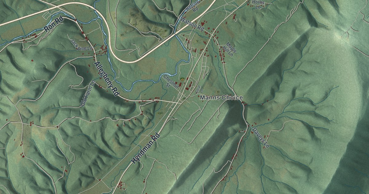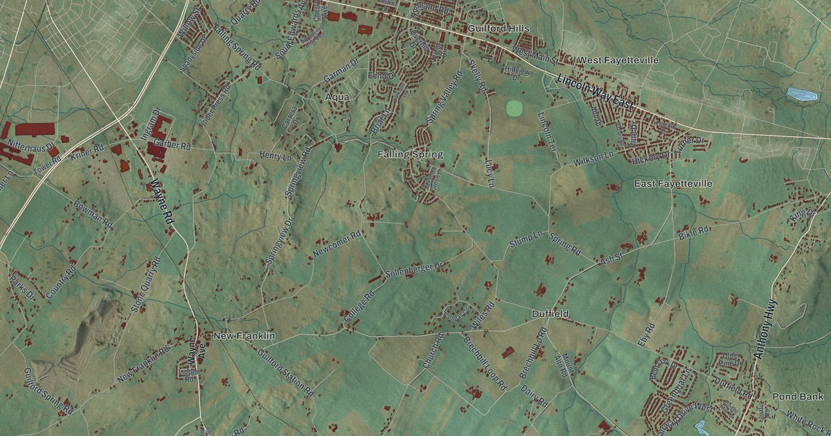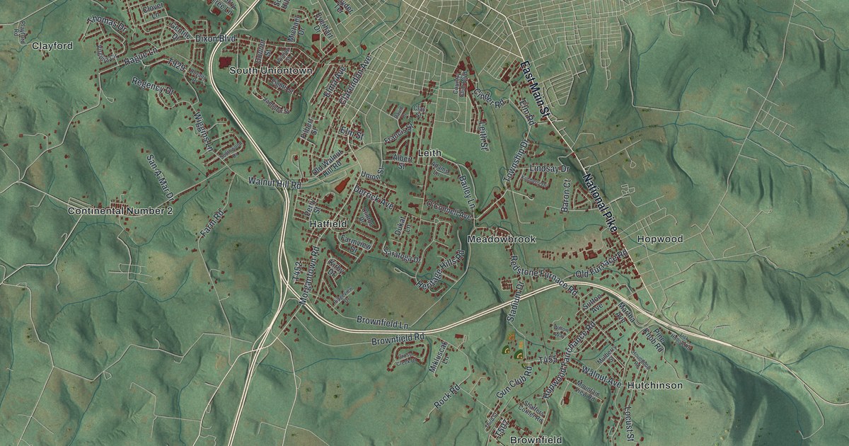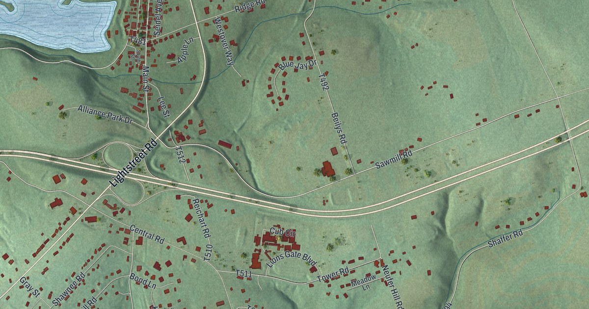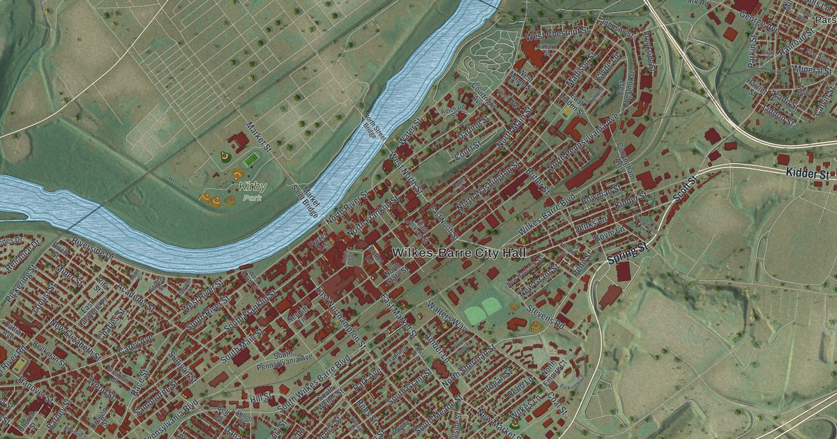
If you grew up in Wilkes-Barre, or your family still lives a few blocks from Public Square, this map is for you. It's a modern aerial view of Wilkes-Barre in Luzerne County, Pennsylvania, made from modern data and given a vintage look. A wide blue river bends across the upper left. The city's red buildings crowd its banks, with Wilkes-Barre City Hall near the center. Parsons and Miners Mills sit to the upper right, Newtown is near the bottom, and green hills and a long ridge fill the edges.
From Public Square to Miners Mills
On this map you'll find Public Square, Wilkes-Barre City Hall, Kirby Park, North Main Street, South Main Street, Wilkes-Barre Boulevard, North River Street, South Franklin Street, Hazle Street, Kidder Street, Coal Street, Anthracite Street, Parsons, Miners Mills, Newtown, and more. Each red shape is a building, so zoom in on the preview and look for yours.
Jesse Fell's Stone Coal Fire of 1808
Wilkes-Barre is a coal town, and its coal story starts in a tavern. Jesse Fell ran that tavern. On February 11, 1808, he burned "stone coal" in an open grate there, and it worked. A state historical marker calls it a famed experiment. It says the test spurred the rise of the anthracite industry and the growth of the Wyoming Valley. Fell was also a judge from 1798 to 1830. In 1806 he became the first burgess of Wilkes-Barre. His marker stands on East Northampton Street, a short walk from Public Square. The coal years still show in names printed on the map, like Coal Street, Anthracite Street and Miners Mills.
The Canal, the Mines and Spring Street
Coal needed a way out of the valley. The state built a canal here from 1831 to 1834. Its marker stands at the county courthouse on North River Street, where a public boat basin once was. The marker says the canal and the railroads helped this valley become the world's largest anthracite coal producer. The work was hard and sometimes deadly. On June 5, 1919, an explosion and fire in the Baltimore Mine Tunnel killed 92 people and hurt 60. A fallen trolley wire touched a cart carrying miners and kegs of blasting powder. Its marker stands on Spring Street. A federal study that followed led to a ban on carrying miners and explosives in the same rail car.
Keep Public Square and Kirby Park Close
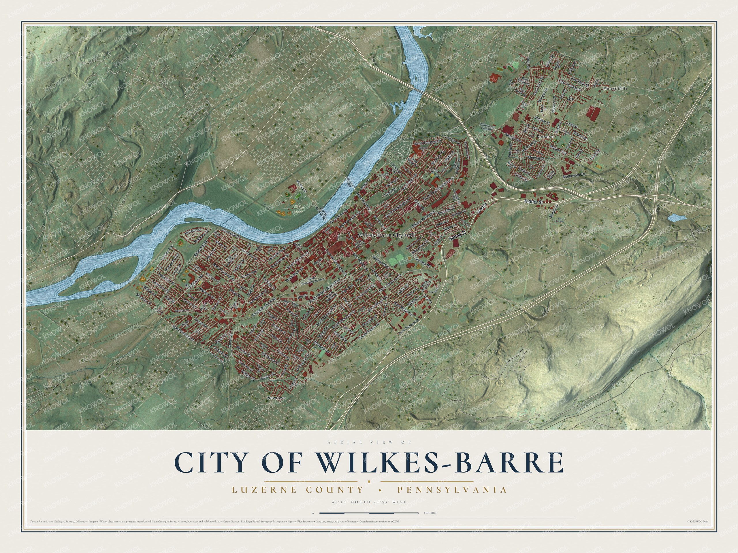
Created by KNOWOL in 2026, this print shows red buildings and pale roads over green shaded hills, with the river in soft blue. The cream title panel reads Aerial View of City of Wilkes-Barre, Luzerne County, Pennsylvania, with 41°15' North 75°53' West below it.
It fits a living room, a hallway or a home office. It's a good gift for someone who grew up near Kirby Park and moved away, or for a family that has lived in Parsons or Miners Mills for years. Open the preview and find your own street. See sizes and frames for the City of Wilkes-Barre, Luzerne County map.