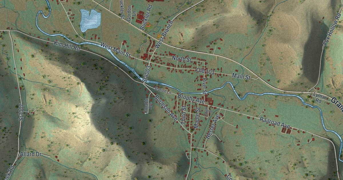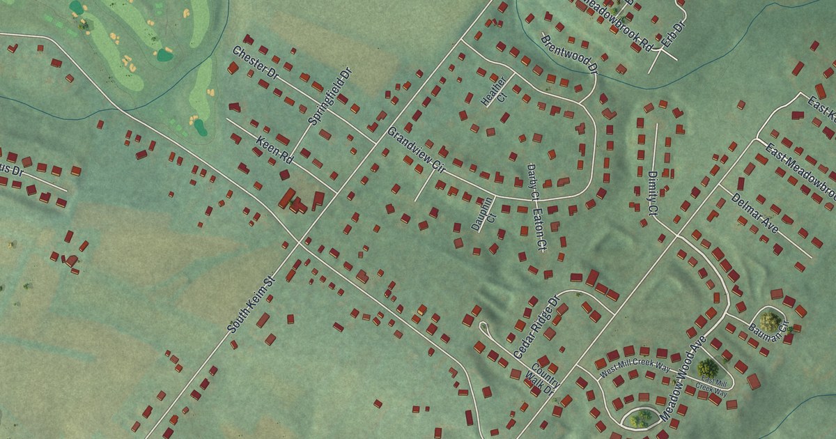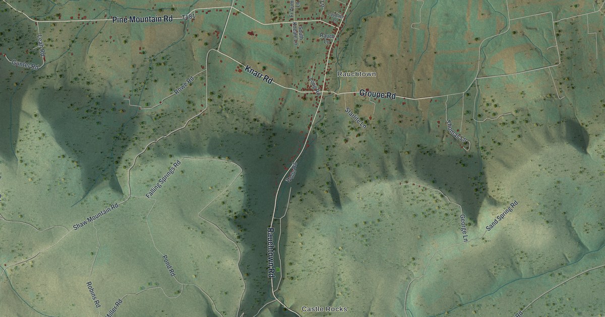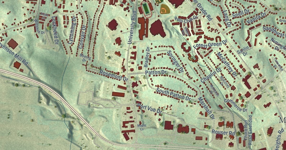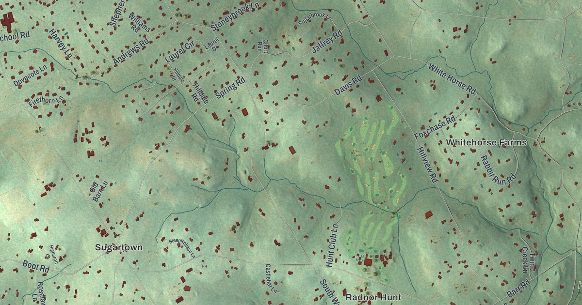
This beautifully detailed map of Willistown, Pennsylvania was created in 2026 using aerial imagery combined with modern topographical, census, street and landmark data. It’s a one-of-a-kind view of Willistown that combines accurate data with a vintage aesthetic. The map shows every building in its true location, many of the roads carry their names, and the shaded topographic relief shows the shape of the land.
Explore an aerial view of Willistown, Pennsylvania
On the map you’ll find Kirkwood Preserve, Okehocking Preserve, Rushton Woods Preserve, Serpentine Preserve, Willisbrook Preserve, Deerfield Knoll, Delchester Farm, Duffryn Mawr, Dutton Mill, Green Tree, and Knickerbocker, along with Colonial Way, and more. If you look closely you can even find your house accurately drawn in its correct location. Zoom in on the preview to look for yours.
Take a closer look at the Willistown map
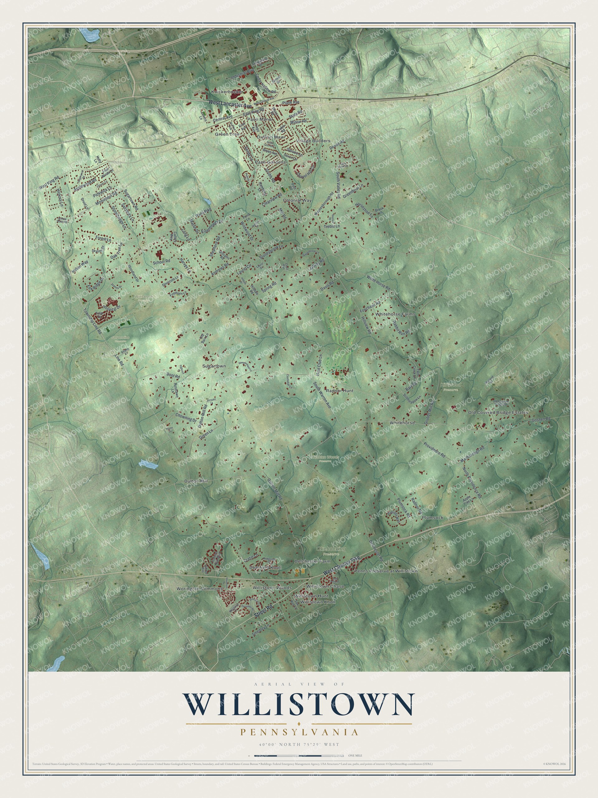
Street and place names on the Willistown, Pennsylvania map
These names are printed on the map of Willistown, Pennsylvania.
Places: Kirkwood Preserve, Okehocking Preserve, Rushton Woods Preserve, Serpentine Preserve, Willisbrook Preserve, Colonial Way, Deerfield Knoll, Delchester Farm, Duffryn Mawr, Dutton Mill, Green Tree, Knickerbocker, Old Covered Bridge Estates, Paoli Gardens, Paoli Manor, Penns Preserve at Willistown, Plumsock, Radnor Hunt, Sugartown, Village Builders, Whitehorse, Whitehorse Farms, Willistown Chase, Willistown Hunt, Willistown Knoll, Willistown Woods and Worington Commons.
Streets and roads: West Lancaster Avenue, West Chester Pike, Street Road, Line Road, Township Line Road, Chapel Hill Circle, North Providence Road, Spring Road, Boot Road, Goshen Road, Monument Road, Sugartown Road.
More street names, A to Z
Andrews Road, Apple Tree Lane, Applewood Road, Barr Road, Beams Lane, Brook Lane, Bryan Avenue, Callery Way, Castlebar Lane, Cedar Hollow Road, Central Avenue, Chowning Drive, Clearview Road, Clover Lane, Court Run, Cratin Lane, Dartmouth Road, Davis Road, Delchester Road, Devon Circle, Devon Road, Dovecote Lane, Druid Lane, Duffryn Avenue, Dutton Mill Road, East King Road, Eisenhower Drive, Firethorn Lane, First Avenue, Forest Lane, Four Winds Lane, Foxchase Road, Fox Ridge Drive, Fox Run Lane, Gable Road, Garrett Mill Road, Gingerwood Road, Greenbriar Lane, Green Lane, Grubb Road, Grubbs Mill Road, Harvey Lane, Hedgerow Lane, Hickory Lane, Highcroft Lane, Hilldale Drive, Hilldale Road, Hillview Road, Holly Lane, Horseshoe Lane, Hospital Drive, Hunt Club Lane, Hunters Run Boulevard, Indian Way, Industrial Boulevard, Jacqueline Drive, Jaffrey Road, Joanna Drive, Jorrocks Lane, Laurel Circle, Laurel Drive, Lloyd Avenue, Long Lane, Lovers Lane, Manor Road, Marlborough Road, Marlin Drive, Mill Road, Nielsen Drive, Oak Tree Lane, Old Barn Lane, Old Covered Bridge Road, Paoli Pike, Patriots Way, Pickwick Lane, Plank Avenue, Plumsock Road, Pond Lane, Post Road, Princeton Circle, Providence Road, Putney Lane, Rabbit Run Road, Radnor Road, Rambling Lane, Reynard Road, Ridings Way, Roselawn Lane, Sage Wood Drive, Salisbury Lane, Sandy Lane, School Road, Shepherd Road, Skyline Drive, Smedley Lane, South Lloyd Avenue, South Valley Road, South Warren Avenue, Spruce Lane, State Road, Steeplechase Lane, Stillmeadow Lane, Stoneham Drive, Stonehenge Lane, Stoneybrook Lane, Sugarbrook Lane, Sunset Drive, Thistle Lane, Treble Lane, Tulip Drive, Twin Creek Lane, Valley Brook Road, Wayland Road, Waynesborough Road, West Central Avenue, Westfield Court, West King Road, White Horse Road, Wildwood Drive, Williams Road, Willow Pond Road, Wistar Road, Woodland Drive.
See the Willistown, Pennsylvania map on a wall
The Willistown map as an 18 x 24 inch print in a black frame.

This beautifully detailed map of Willistown makes an attractive addition to your office, library, or den, and it can even be used to teach children the geography and history of the area. It also makes a great gift for anyone who grew up in Willistown or moved away. When you’re done exploring, click here to get your copy of the Willistown map.