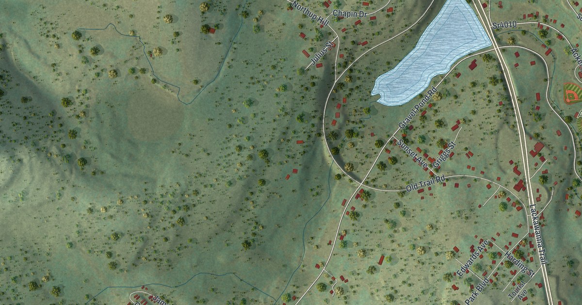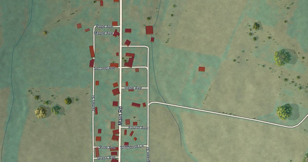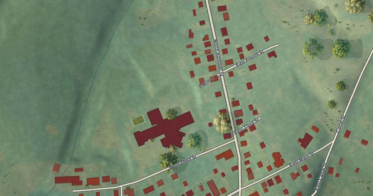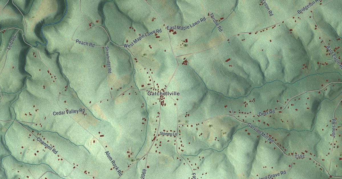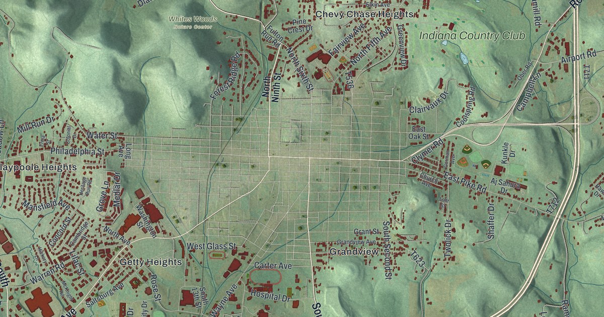
This beautifully detailed map of White, Indiana County, Pennsylvania was created in 2026 using aerial imagery combined with modern topographical, census, street and landmark data. It’s a one-of-a-kind view of White that combines accurate data with a vintage aesthetic. The map shows every building in its true location, many of the roads carry their names, and the shaded topographic relief shows the shape of the land.
Explore an aerial view of White, Indiana County, Pennsylvania
On the map you’ll find Fulton Run, Shado-Wood Village, Whites Woods Nature Center, Ben Avon, Bryan Hill Manor, Chestnut Grove, Chevy Chase Heights, Claypoole Heights, Fowler Heights, Getty Heights, Grandview, Indian Springs Estates, and more. If you look closely you can even find your house accurately drawn in its correct location. Zoom in on the preview to look for yours.
Did you know this piece of White, Indiana County, Pennsylvania history?
Fergus Moorhead and his family were the first settlers here who were not Native American. They arrived in 1772 and built a grist mill two years later. In 1781 they put up a small fort. The township was formed in 1843 and named for Judge Thomas White.
Take a closer look at the White, Indiana County map
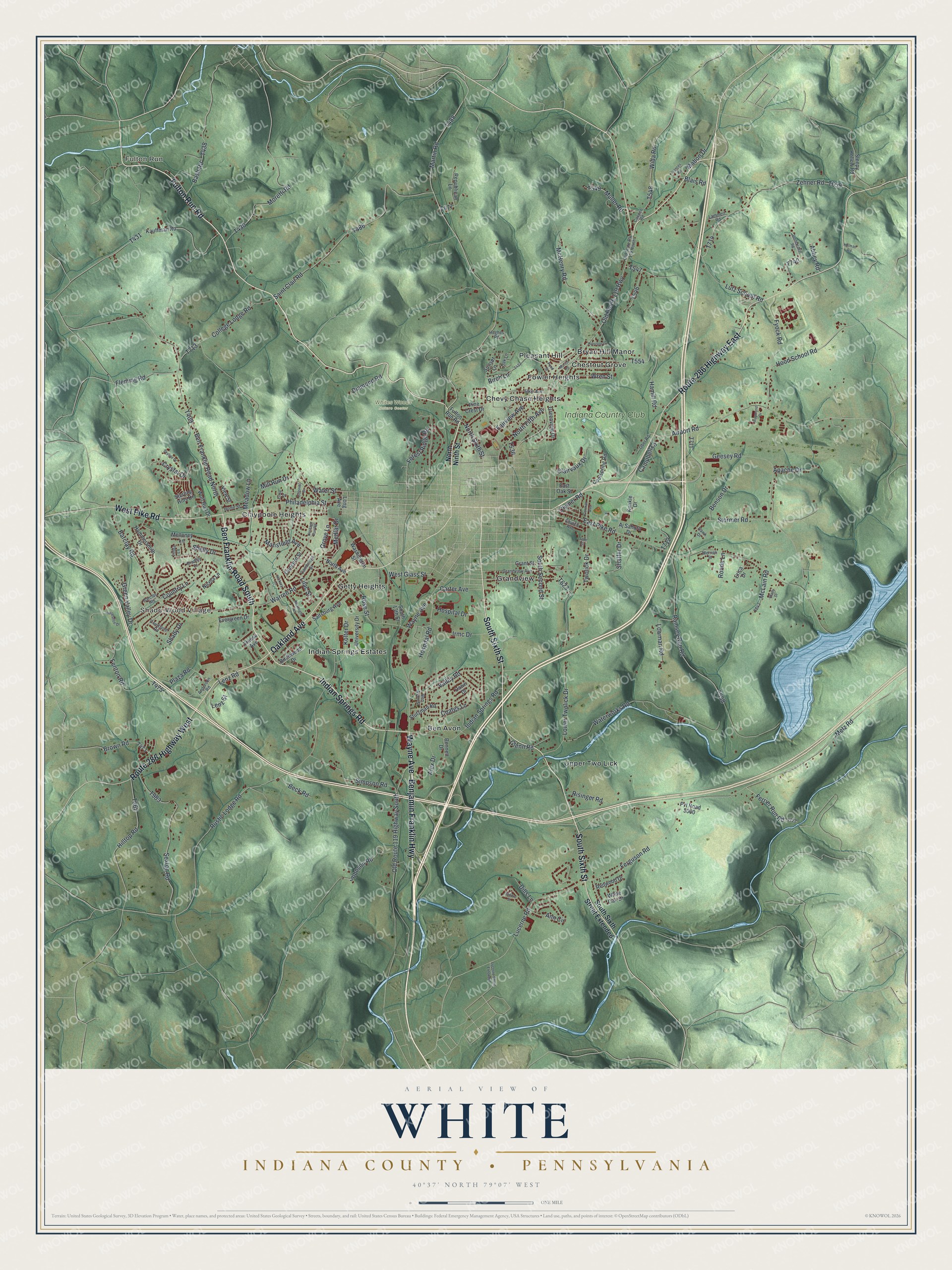
Street and place names on the White, Indiana County, Pennsylvania map
These names are printed on the map of White, Indiana County, Pennsylvania.
Places: Fulton Run, Shado-Wood Village, Whites Woods Nature Center, Ben Avon, Bryan Hill Manor, Chestnut Grove, Chevy Chase Heights, Claypoole Heights, Fowler Heights, Getty Heights, Grandview, Indian Springs Estates, Pleasant Hill, Upper Two Lick and Indiana Country Club.
Streets and roads: Fulton Run Road, Indian Springs Road, Benjamin Franklin Highway, Ben Franklin Road South, South Sixth Street, Oakland Avenue, Route 286 Highway East, Route 286 Highway West, West Pike Road, Wayne Avenue, Philadelphia Street, North Sixth Street.
More street names, A to Z
Abbey Road, Airport Road, Aj Sahura Drive, Alex Drive, Anderson Road, Ann Circle, Apache Drive, Barclay Heights, Barclay Road, Bash Road, Beck Road, Ben Avon Street, Ben Franklin Road North, Bennett Drive, Benson Drive, Birch Lane, Birchwood Drive, Blais Road, Bradley Court, Brady Drive, Brown Road, Cambridge Street, Campbell Lane, Carter Avenue, Church Avenue, Clairvaux Drive, Clymer Road, Coates Lane, College Lodge Road, Colonial Drive, Concord Street, Coolspring Road, Cosper Road, Country Lane, Courtland Road, Crystal Drive, Dawn Drive, Diamond Road, Dills Lane, East Oak Street, East Pike Road, Elkin Avenue, Erica Drive, Erma Street, Evergreen Drive, Fairview Avenue, Fenton Road, Ferguson Road, Ferrier Run Road, Fleming Road, Forest Ridge Road, Frances Road, Fyock Road, Geesey Road, Glenn Road, Gorman Avenue, Grandview Avenue, Grant Street, Green Valley Drive, Greenview Drive, Grove Lane, Hamill Road, Hammersmith Drive, Harrison Drive, Hawk Drive, Helman Road, Heritage Run Road, Hickory Lane, Hilltop Road, Home Street, Hood School Road, Horseshoe Drive, Hospital Drive, Hospital Road, Hughes Road, Irmc Drive, Johnson Road, Kauffman Road, Kolter Drive, Kunkle Drive, Lammert Road, Lenz Road, Lenz Street, Lilac Street, Linda Lane, Lohr Street, Long Avenue, Lower Twolick Drive, Lowman Road, Lucerne Road, Lucerne Street Extended, Lutz School Road, Mabon Drive, Mansfield Avenue, Marion Road, Martin Road, McHenry Road, McKnight Road, McLain Road, Meadow Lane, Medlar Drive, Melloney Lane, Merrick Street, Metz Road, Mill Run Drive, Moretti Road, Muller Road, Nicola Lane, North Avenue, North Fifth Avenue, North Ninth Street, Oak Lane, Ober Road, Old Route 119 Highway, Old Route 119 Highway South, Old State Route 119 North, Pine Crest Drive, Plaza Road, Pond Street, Pvt Road 5000, Ramsey Run Road, Raymond Drive, Redwood Drive, Republican Lane, Risinger Road, Ronda Lane, Rose Street, Rustic Lodge Road, Saint Clair Road, Saltsburg Avenue, Sandro Street, Sexton Road, Shady Drive, Shaffer Drive, Shelly Drive, Simpson Road, Skyline Drive, Sleepy Hollow Road, South 13th Street, South Second Street, South Sixth Street Extended, Sterling Hills Drive, Stonebraker Road, Stormer Road, Stutzman Road, Sunset Lane, Treese Avenue, Twolick Drive, University Drive, Valley Road, View Street, Warren Road, Washington Street, Water Street, Waterworks Road, West Glass Street, White Oak Drive, Wida Road, Wolf Run Drive, Wren Street, Zehner Road.
See the White, Indiana County, Pennsylvania map on a wall
The White, Indiana County map as an 18 x 24 inch print in a black frame.

This beautifully detailed map of White, Indiana County makes an attractive addition to your office, library, or den, and it can even be used to teach children the geography and history of the area. It also makes a great gift for anyone with White roots. When you’re done exploring, click here to get your copy of the White, Indiana County map.