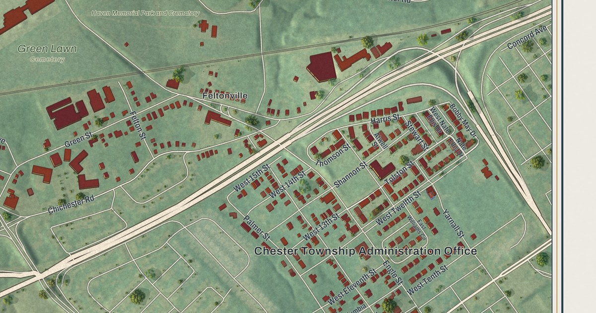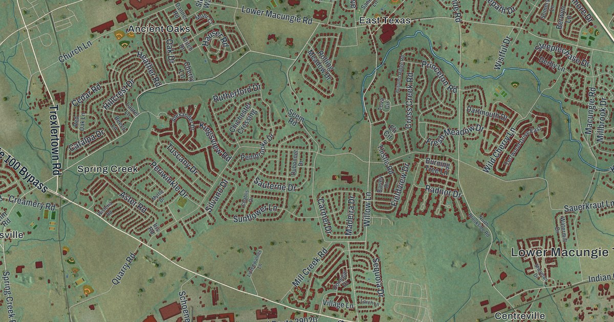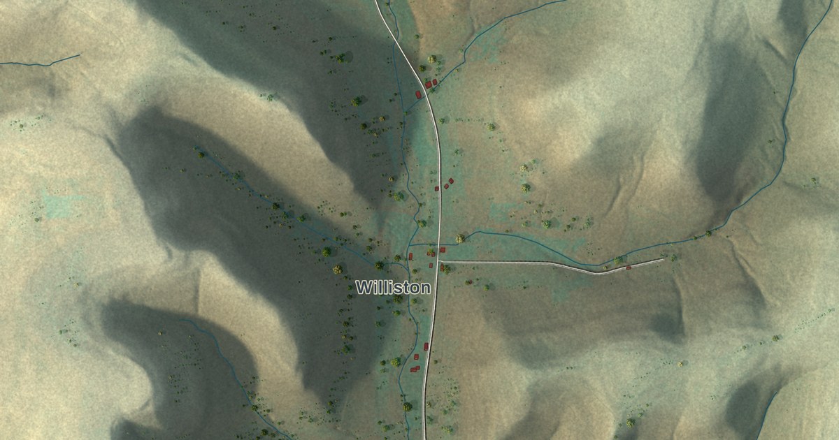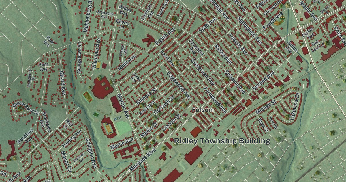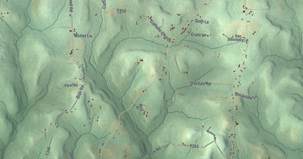
If you grew up on a farm near Sigel or Kahletown, or you still drive Spring Creek Road home, this map is for you. It's a new aerial view of Eldred Township in Jefferson County, Pennsylvania, made from modern data and given a vintage look. Green wooded hills fold across the whole sheet, with long ridges and deep hollows. Small red buildings gather at Sigel near the top and spread out along the roads to the south. A blue stream winds down the lower right edge.
Sigel, Kahletown and the Roads of Eldred Township
On this map you'll find Sigel, Kahletown, Howe, Clear Creek State Forest, Spring Creek Road, Clear Creek Road, Catholic Church Road, Roseville Sigel Road, Caldwell Corners Road, Moore Bridge Road, Frozen Toe Road, Big Dam Road, State Game Lands Number 74, and more. Each red shape is a building, so zoom in on the preview and look for yours.
How Frederick Kahle Came to Northern Eldred
Eldred Township was formed in 1836. It was named for Nathaniel B. Eldred, a judge at the time. That same year, Frederick Kahle came to the northern part of the township. The 1888 History of Jefferson County tells what happened next. Kahle hired a hunter named Tommy Guthrie to guide him into the woods. Night fell before they found a spot, so they camped out. Wolves came at them in the dark. To Kahle, it seemed like hundreds. The old hunter stayed calm. He lit some gunpowder on a piece of bark and fired his gun. The wolves ran off. Kahle moved his young children into the woods that same year. In the first summer, he killed seventeen big rattlesnakes near his own door. He worked early and late. By his death in 1878, he had one of the best and largest farms in the area, with good orchards. Today Kahletown sits near the top of the map, with Kahletown Church Lane close by.
The High Ridge Road Through Sigel
The same book explains the shape of the land. Most of the cleared farms lay along the Brookville and Sigel road. It ran north along a high, narrow ridge. At Sigel, another belt of high land crossed it from east to west. The Spring Creek road ran along that cross ridge. Together, the two ridges made the shape of the letter T. Water north of the cross ridge flowed to the Clarion River. South of it, water flowed to Big Mill Creek or the North Fork. On the map, find Sigel near the top, where the red buildings crowd close and Spring Creek Road runs out to the east. The book also lists small coal banks worked by Jacob Mineweaser and John Beach. Look for Mineweaser Road and Beach Road near the bottom right.
Keep Sigel and Kahletown Close
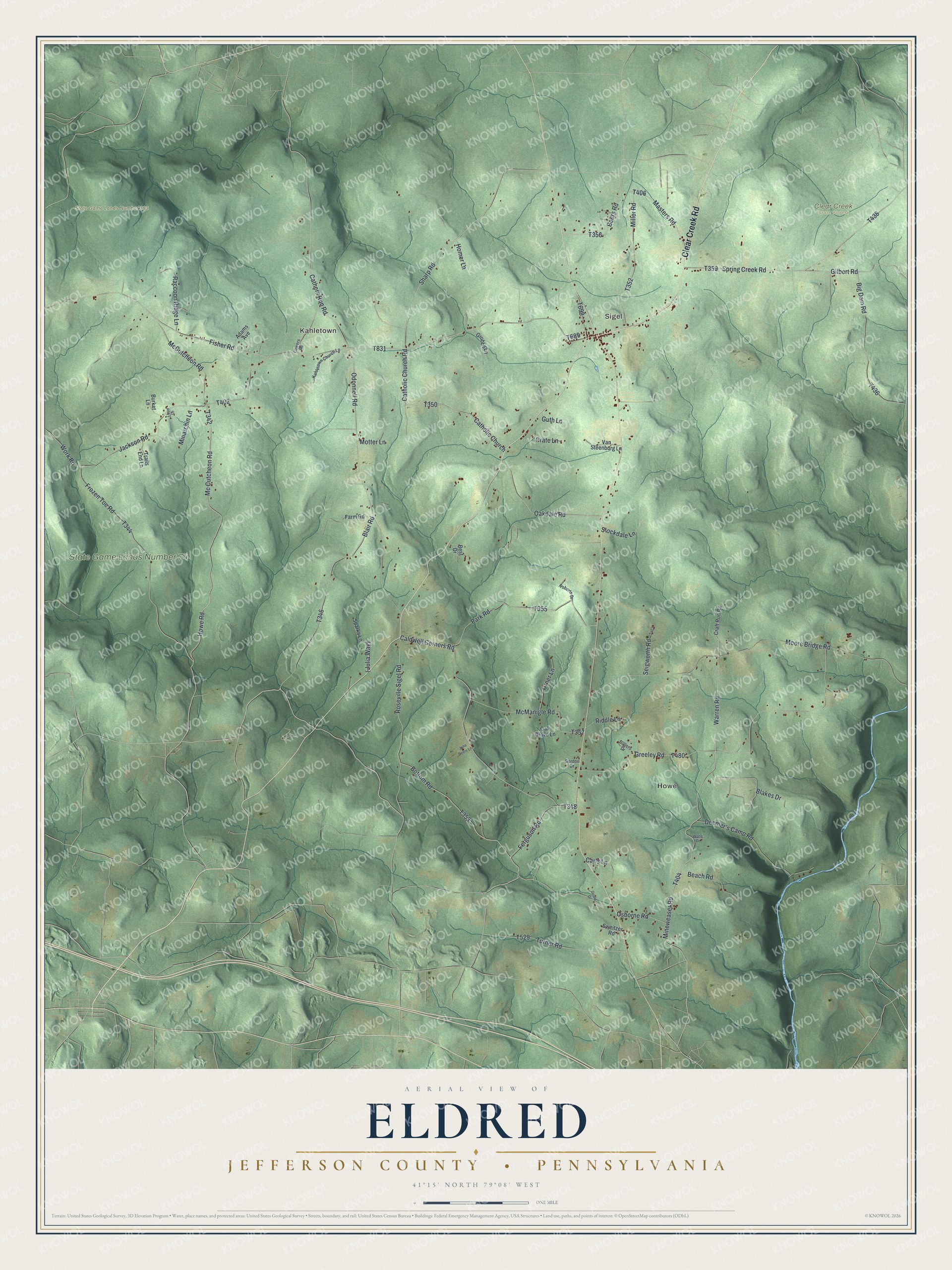
Created by KNOWOL in 2026. The print shows Eldred Township's wooded hills in soft green, with shaded ridges and hollows, thin road lines, red buildings and blue streams. A cream title panel at the bottom reads "Aerial View of Eldred," then "Jefferson County • Pennsylvania," then 41°15' North 79°08' West.
It suits a den, a hunting camp, a farmhouse kitchen or a home office. It's a good gift for someone who grew up near Sigel, or for a hunter who knows State Game Lands Number 74 well. Open the preview and find your road. See sizes and frames for the Eldred, Jefferson County map.