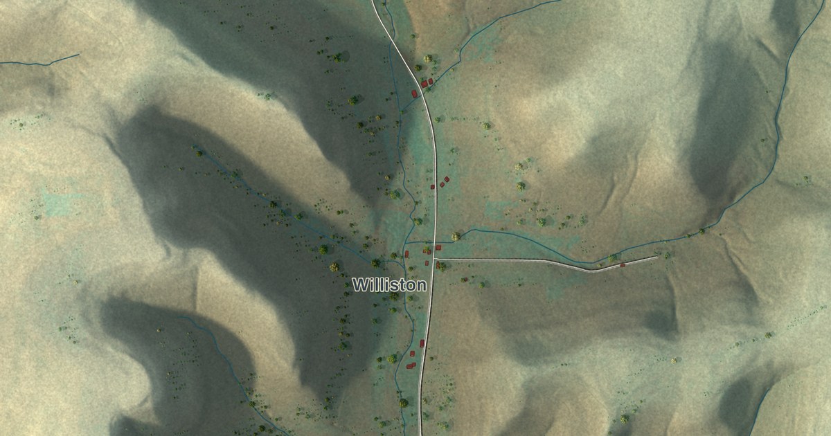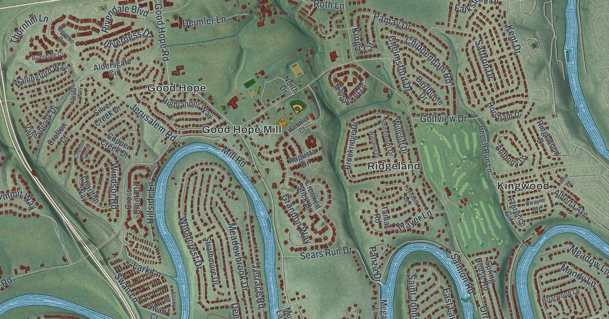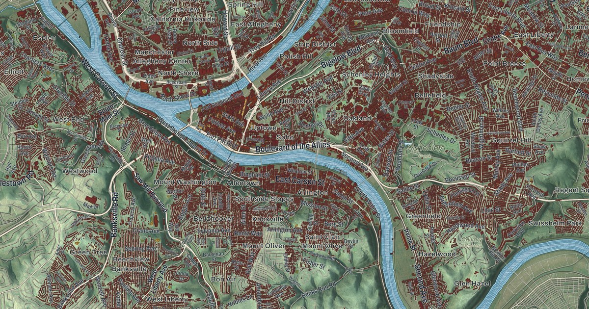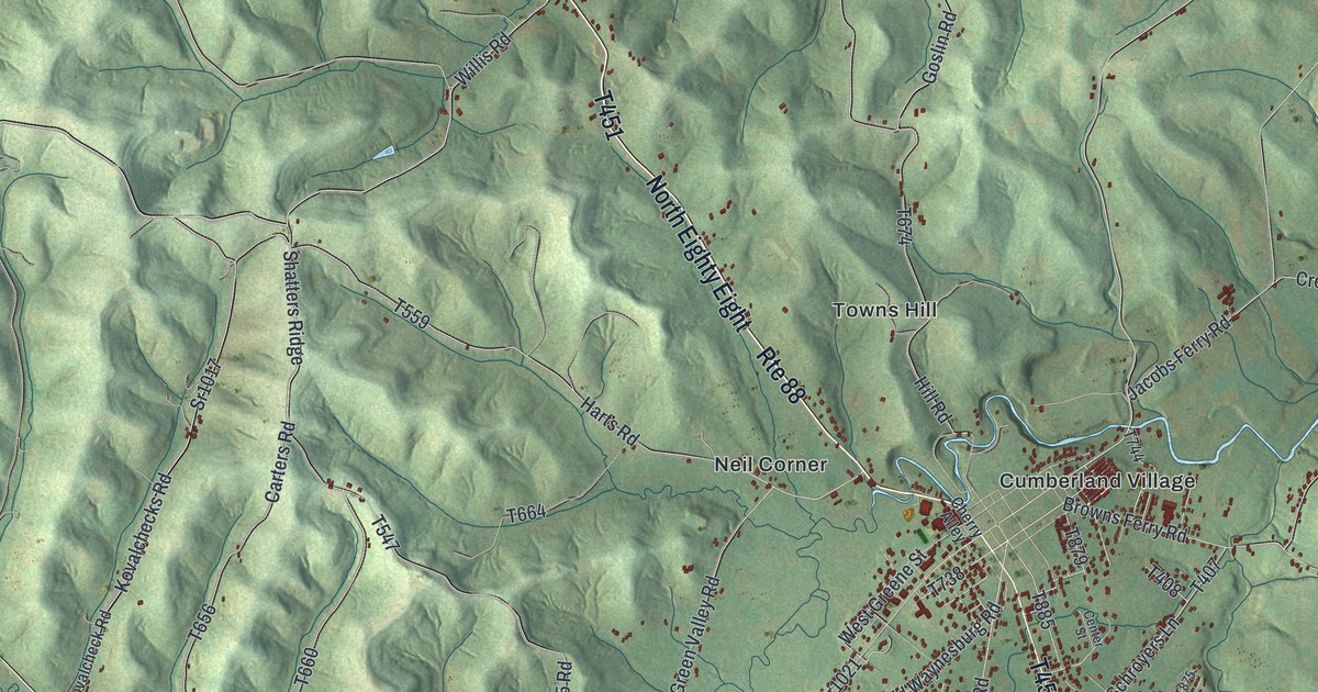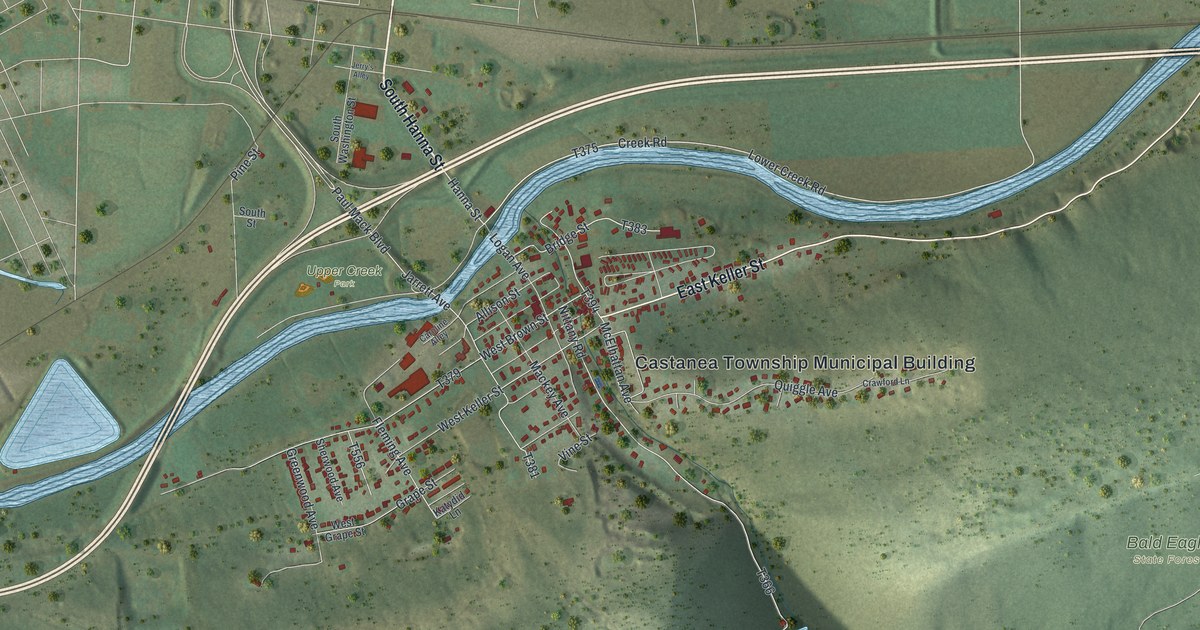
If you grew up on East Keller Street or still drive Youngdale Road to work, this map is for you. It's a new aerial view of Castanea in Clinton County, Pennsylvania, made from modern data and given a vintage look. It shows the village's red rooftops beside a winding blue creek. A wide river crosses the top, and green ridges roll across the bottom.
How Brown and Keller laid out Castanea in 1871
On this map you'll find East Keller Street, West Keller Street, West Brown Street, South Hanna Street, East Water Street, Bridge Street, Youngdale Road, Island Road, River Road, Quiggle Avenue, McElhattan Avenue, Grape Street, Upper Creek Park, the Castanea Township Municipal Building, Bald Eagle State Forest, and more. Each red shape is a building, so zoom in on the preview and look for yours.
Castanea started as a farm. In 1871, Jacob Brown and P. W. Keller bought the farm of Joseph Hamberger. It sat near Harvey's Gap, on the south side of Bald Eagle Creek. The two men laid out a town there and began selling lots. People bought them and built homes. By 1883 the village had a good schoolhouse and about forty houses. It also had several groceries, shops and stores. That's from the History of Centre and Clinton Counties, printed in 1883. The book said the village was within a mile of Lock Haven. It offered cheap homes for mechanics and other workers who wanted to live outside the city. Look at the map today and you'll see East Keller Street and West Brown Street. They share the last names of the two men who started the town.
Why Castanea means chestnut
The same book explains the name. Castanea is the Latin word for chestnut. Chestnut trees grew in plenty near the village. Back then, Castanea was part of Dunstable Township. People there said the township was too long and oddly shaped. So in 1877 they asked the court to split it. Voters agreed on December 1, 1877. The court approved it nine days later. The new western part took the village's name. Jacob Quiggle was one of three men the court picked to study the new line. Quiggle Avenue is printed on the map today.
Castanea, from South Hanna Street to Bald Eagle State Forest
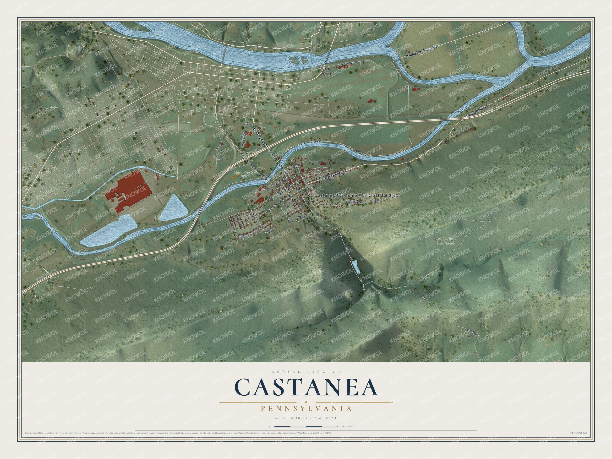
Created by KNOWOL in 2026, this print shows Castanea from above in soft greens and blues. Shaded ridges, a winding creek and red buildings fill the sheet. The title panel reads "Aerial View of Castanea, Pennsylvania" with the coordinates 41°07' North 77°26' West.
It suits a living room, a den or an office wall. It's a good gift for someone who grew up near Upper Creek Park, or for family who moved away from Clinton County. Open the preview and find your street. See sizes and frames for the Castanea map.