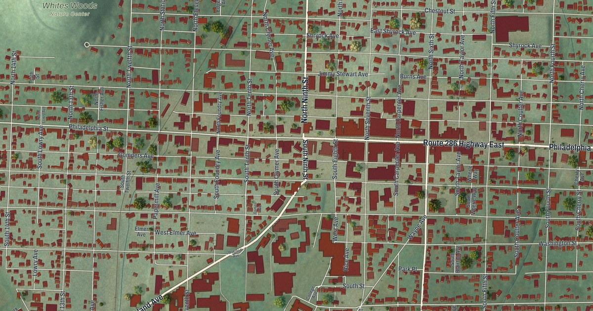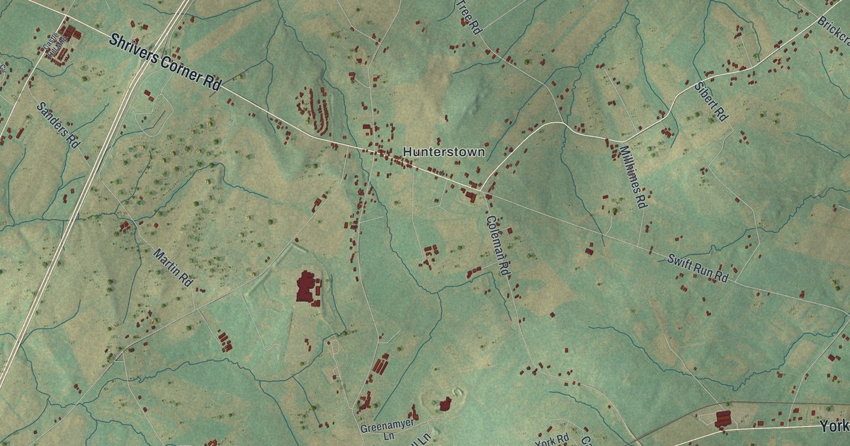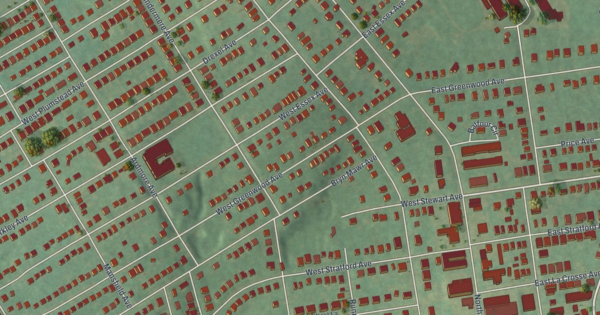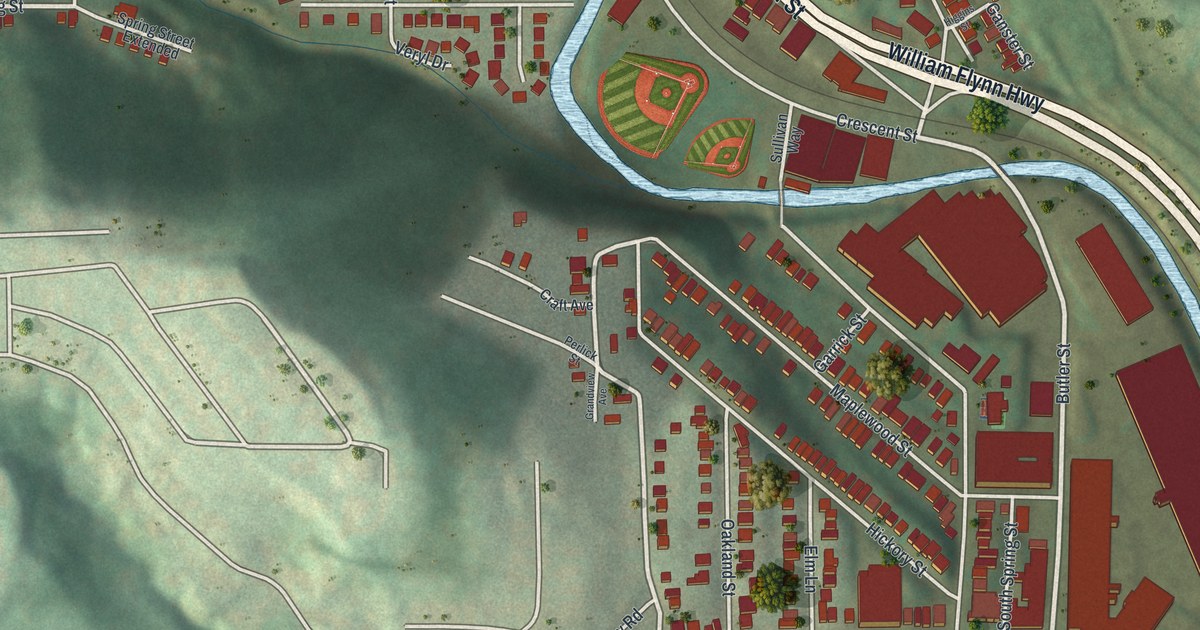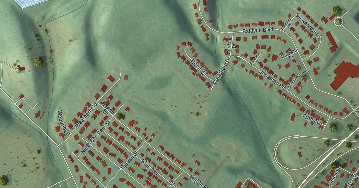
If you grew up on one of Shamokin Dam's numbered avenues, or you still drive North Susquehanna Trail every day, this map is for you. It's a new aerial view of Shamokin Dam in Snyder County, Pennsylvania, made from modern data and given a warm, vintage feel. Shaded green hills fill the top of the sheet. The town's tight grid of streets sits below them, and a wide blue river with long green islands runs down the right side.
The Marker at Eighth Avenue
On this map you'll find North Susquehanna Trail, Eighth Avenue, Market Street, Baldwin Boulevard, Old Sunbury Road, King Avenue, Queen Avenue, Maple Street, Center Street, Stetler Avenue, Snyder Street, Spruce Street, Cherry Street, West Side Cemetery, and more. Each red shape is a building, so zoom in on the preview and look for yours.
A state historical marker stands on US 11/15 at Eighth Avenue, right in town. On the map, look where Eighth Avenue meets North Susquehanna Trail. The marker isn't about Shamokin Dam itself. It's about Sunbury, just across the river. It says Sunbury was laid out in 1772 as the county seat of Northumberland. It was laid out on the site of Indian Shamokin. Fort Augusta was built there in 1756, and the marker calls the place a historic center of travel, trade and industry.
Shikellamy and the Old Town of Shamokin
Another marker on US 11 remembers Shikellamy. He was an Oneida chief and a leader for the Six Nations. He lived at the Shamokin Indian town, now Sunbury, from about 1728 until his death in 1748, that marker says. The marker says he's said to be buried near it. A third marker on US 11 says Fort Augusta was the largest and most important frontier stronghold on the upper Susquehanna. It stood on the opposite bank, and it was in use until 1783. On the map, that river is the wide blue band with the long islands, just past the last houses on the east side of town.
From Baldwin Boulevard to North Susquehanna Trail
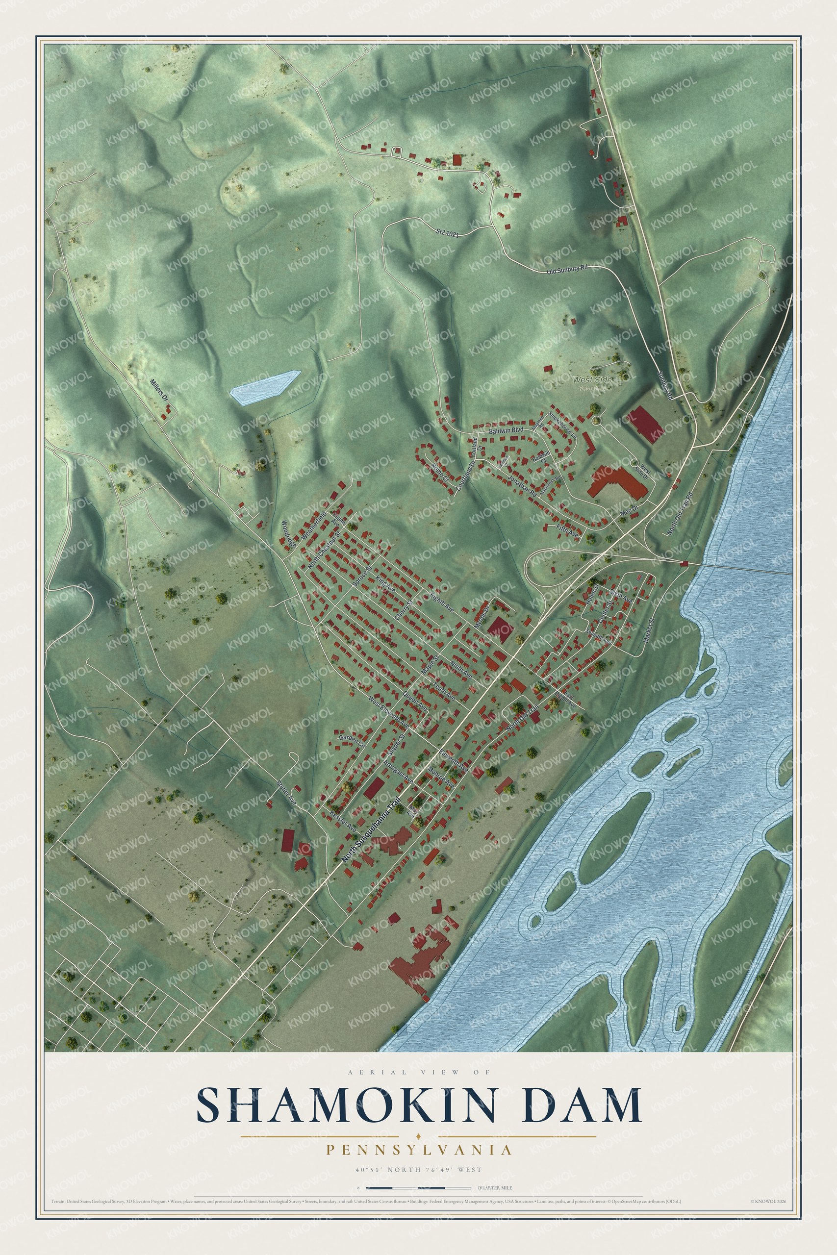
Created by KNOWOL in 2026, this print shows Shamokin Dam from above, with shaded green hills, small red buildings, fine gray roads and a pale blue river full of islands. The title panel reads "Aerial View of Shamokin Dam, Pennsylvania" with 40°51' North 76°49' West set beneath it.
It fits well in a kitchen, a den or a home office. It's a thoughtful gift for someone who grew up on Eighth Avenue or near West Side Cemetery and has since moved away. Open the preview and find the street you know best. See sizes and frames for the Shamokin Dam map.