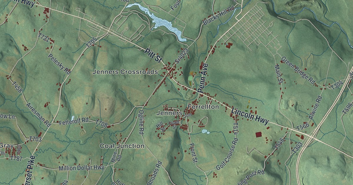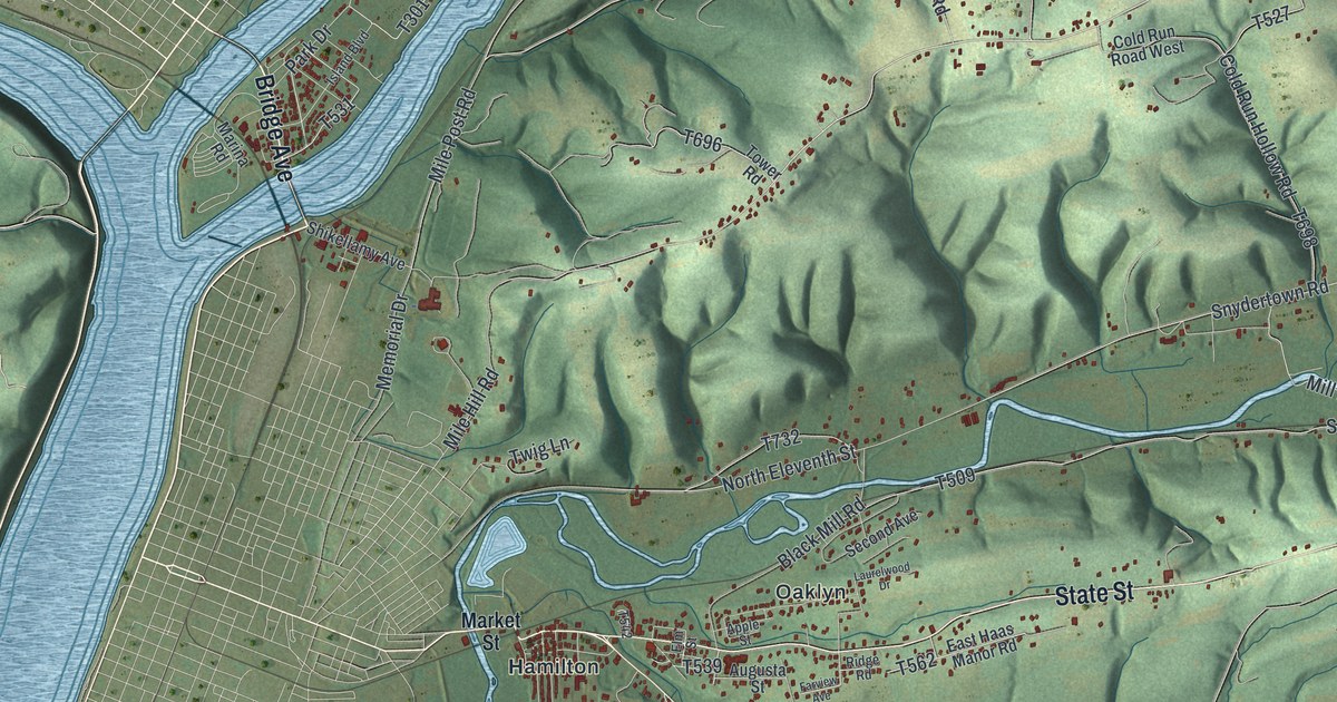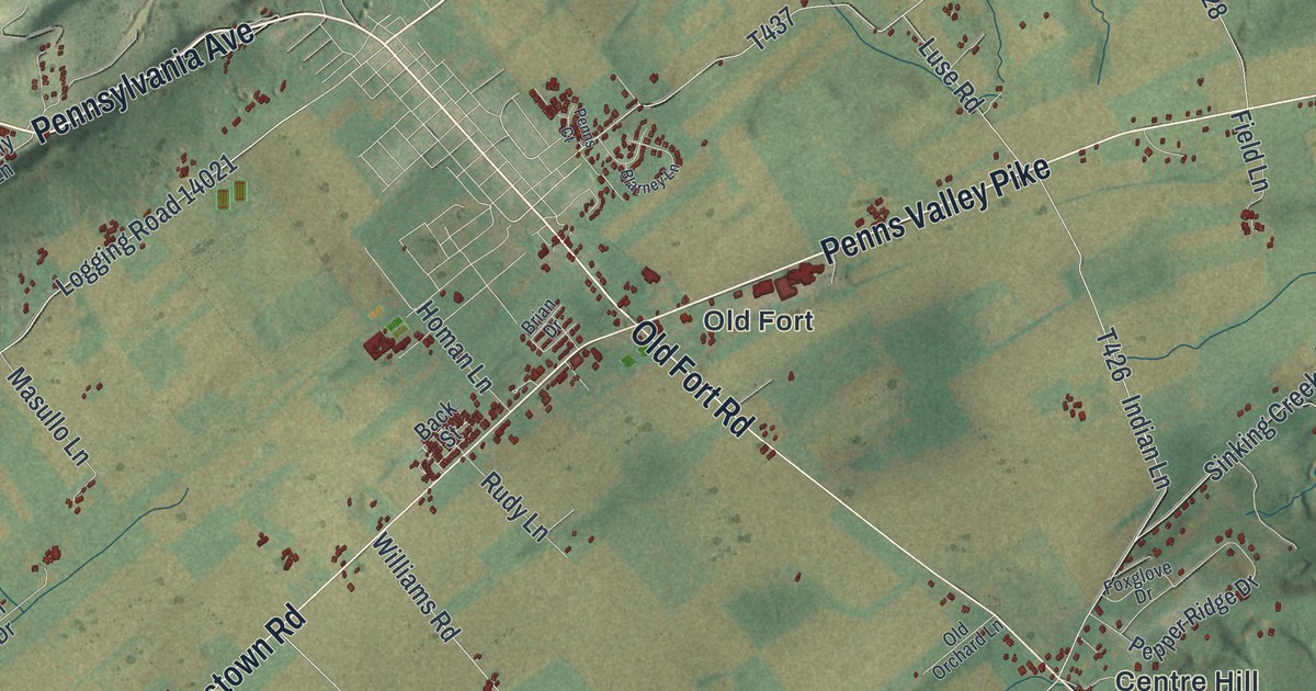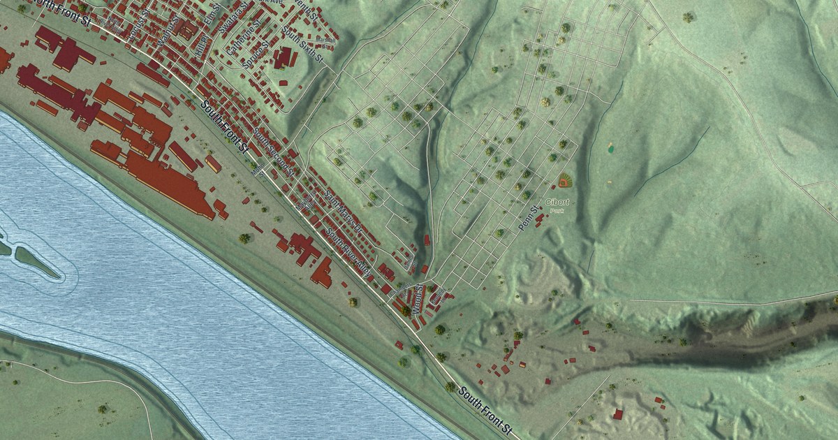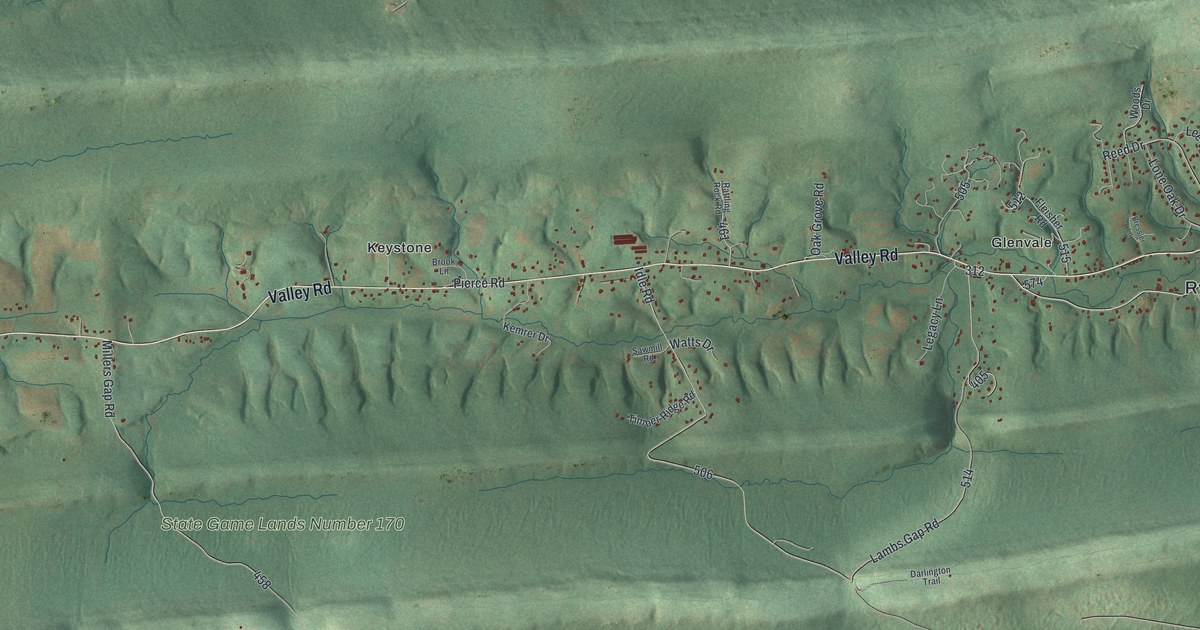
If you grew up in Rye, look for your family's road on this print. It's a modern aerial view of Rye in Perry County, Pennsylvania, made with modern data and a vintage feel. Green ridges frame small clusters of red buildings. Grier Point, Keystone, and Glenvale each have their names on the sheet.
Valley Road, Glenvale, and Grier Point
On this map you'll find Valley Road, Glenvale, Grier Point, Keystone, New Valley Road, Lambs Gap Road, Millers Gap Road, Pine Hill Road, Mountain Road, Oak Grove Road, Darlington Trail, and more. Each red shape is a building, so zoom in on the preview and look for yours.
The Census Bureau counted 2,263 people in Rye Township in 2020. This view puts the homes and their setting together. Light and shade bring out the folds in the wooded hills. State Game Lands Number 170 has its name across the green terrain. The Rye Township Municipal Building is named on the right side of the sheet, near Glenvale. You can take in that whole setting, then look closer at the homes around Glenvale.
Keep Glenvale and Grier Point close
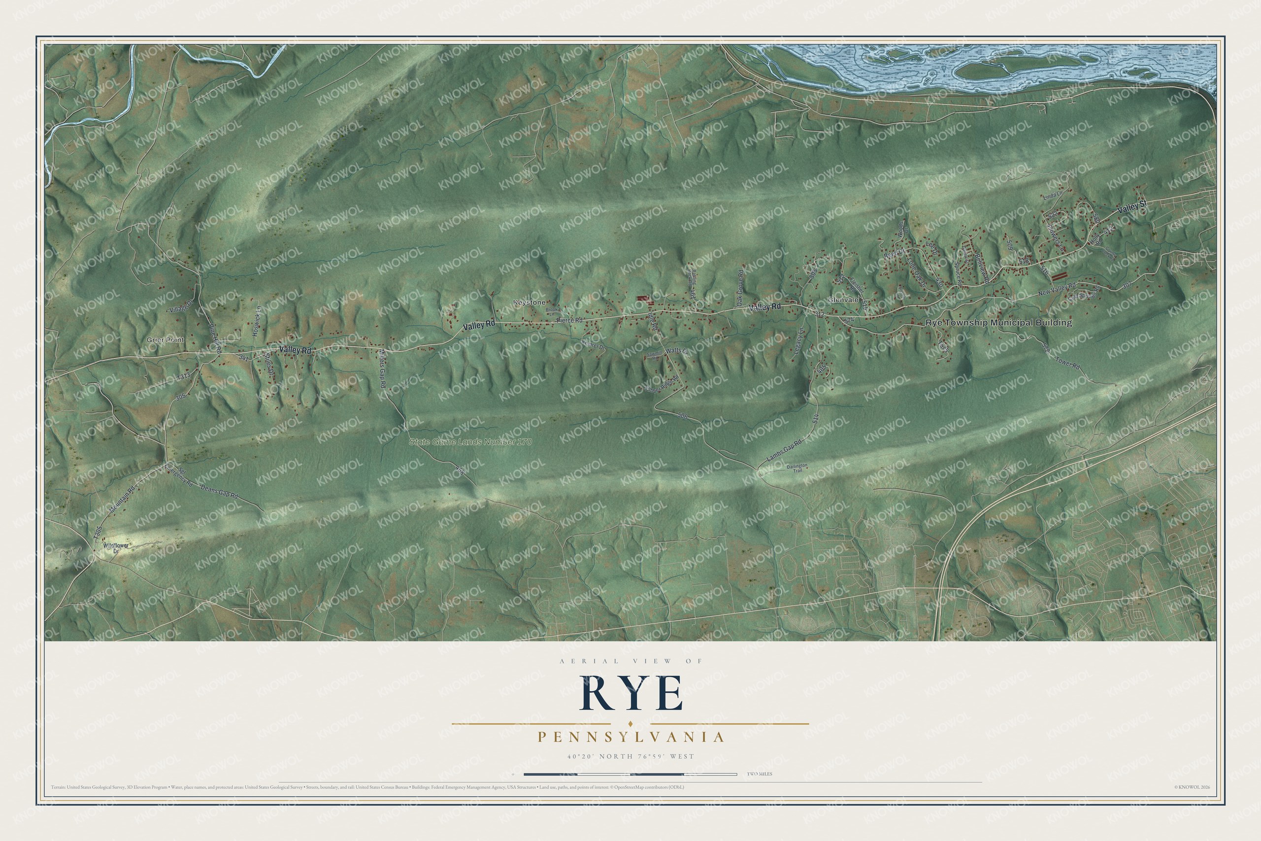
Created by KNOWOL in 2026, the print pairs soft green hills with red buildings and pale blue water. A cream border surrounds the wide view. The title panel reads AERIAL VIEW OF, RYE, PENNSYLVANIA, and 40°20' NORTH 76°59' WEST.
It's a warm fit for a living room, office, or entryway. Give it to someone who grew up in Glenvale and wants to keep home close. Open the preview to find a familiar road and see the hills around it. See sizes and frames for the Rye map.