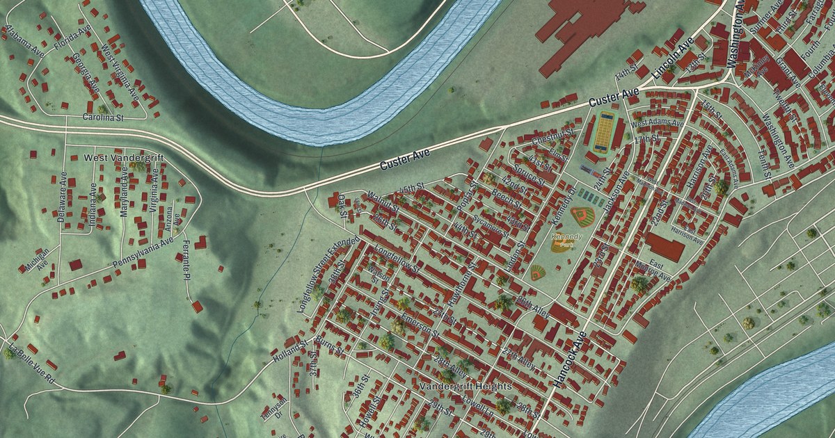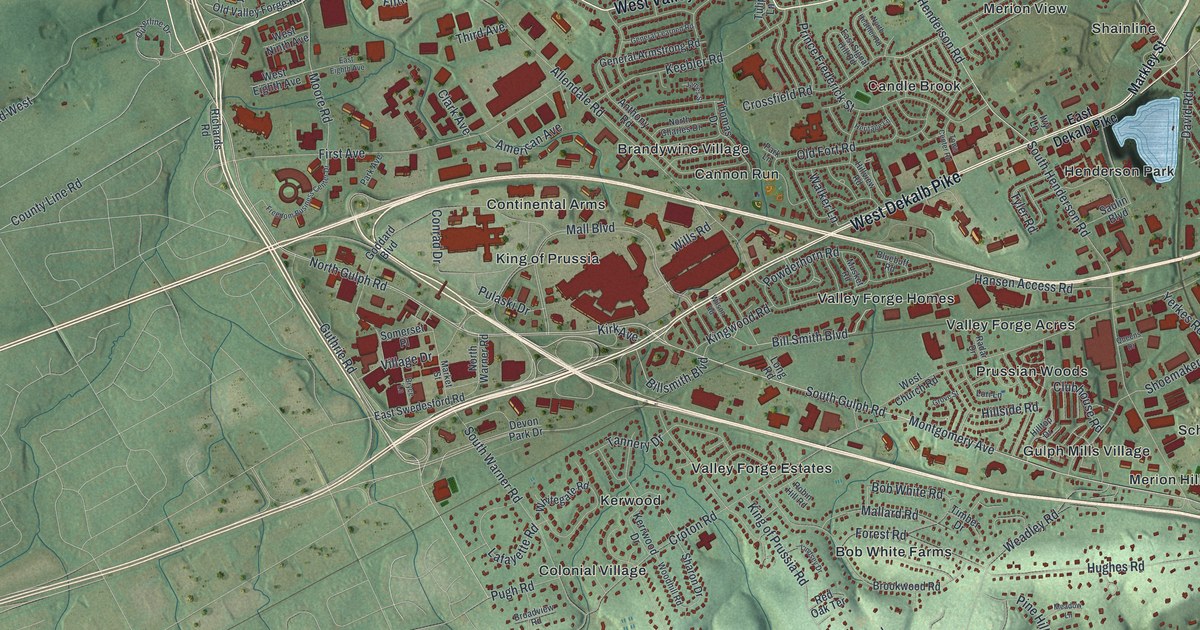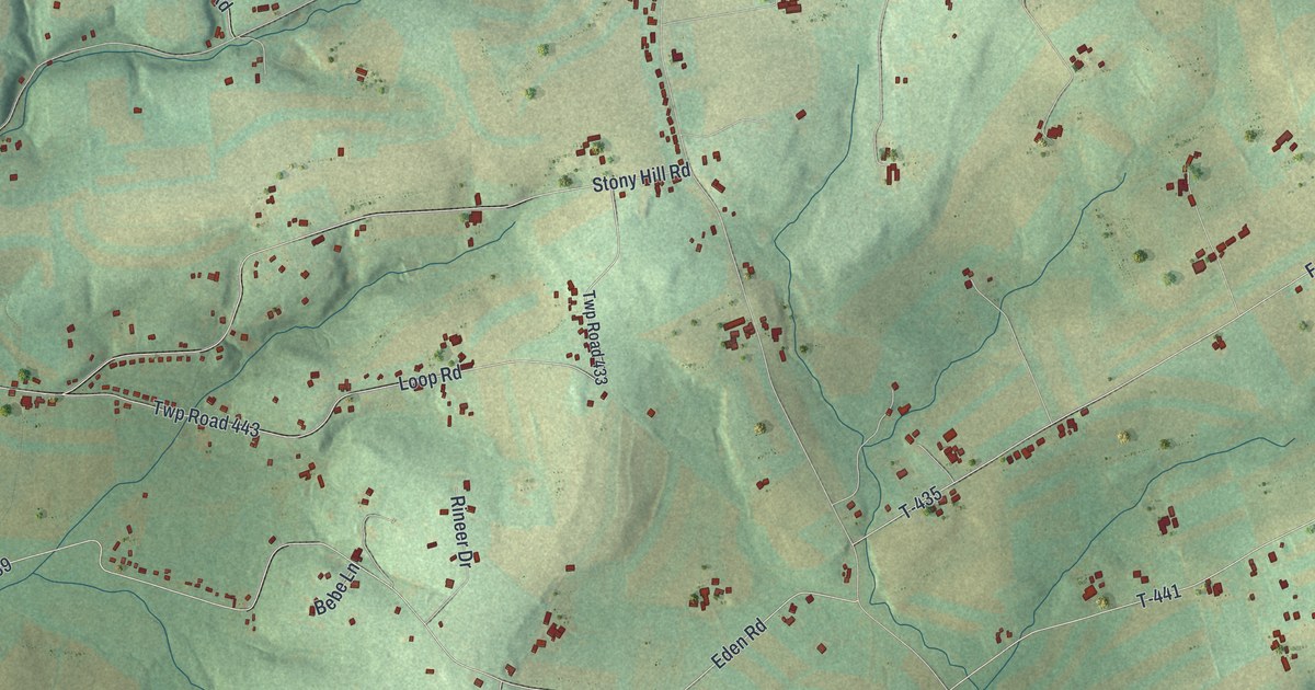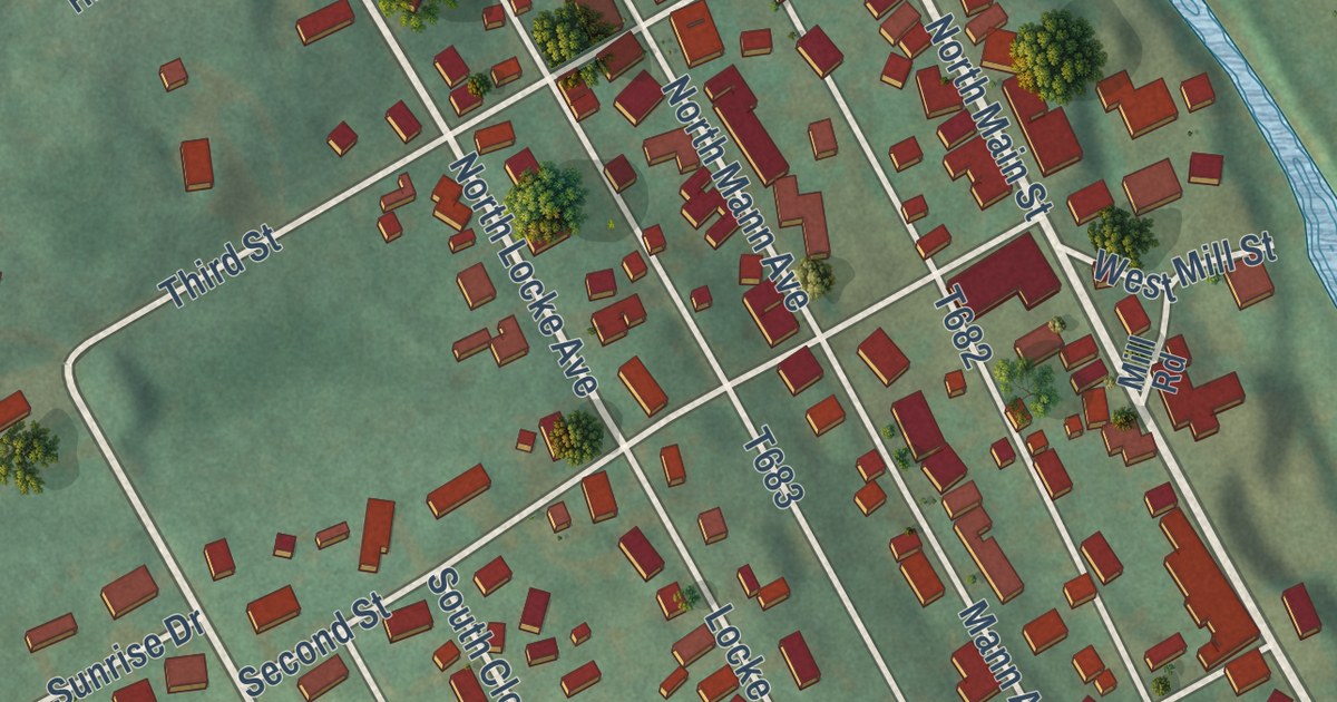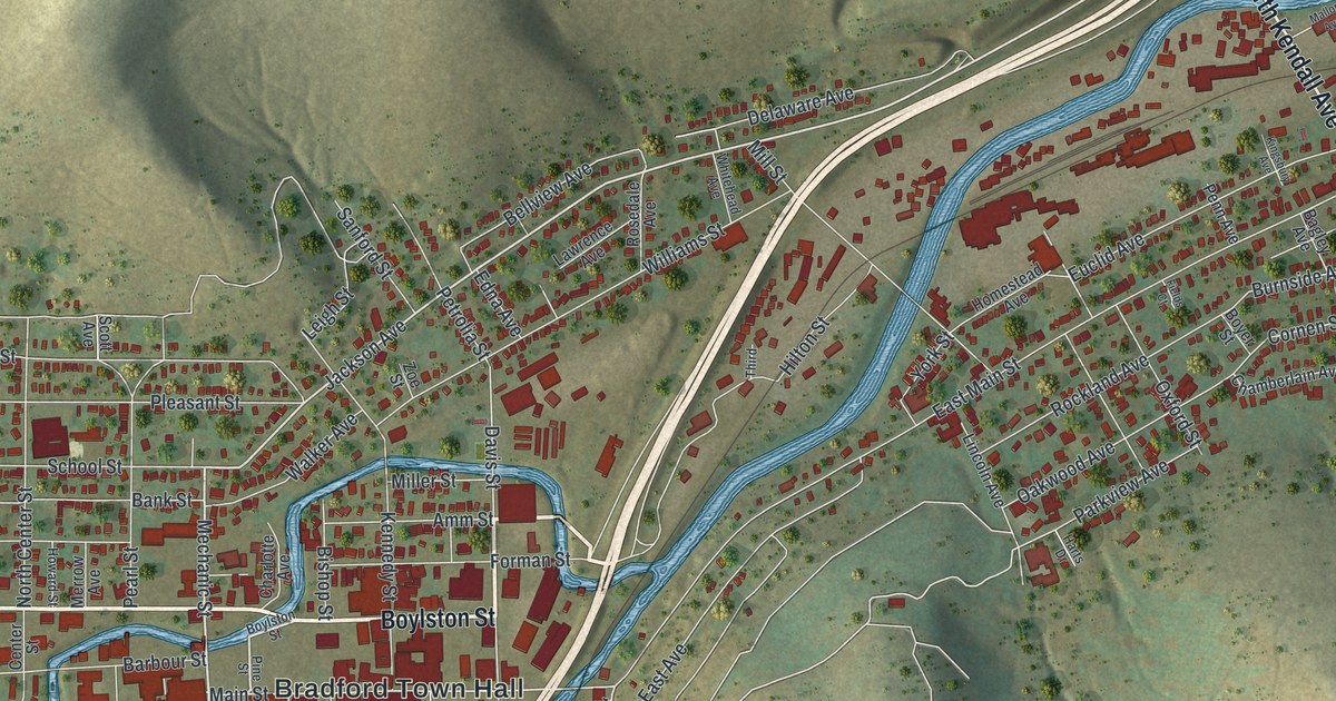
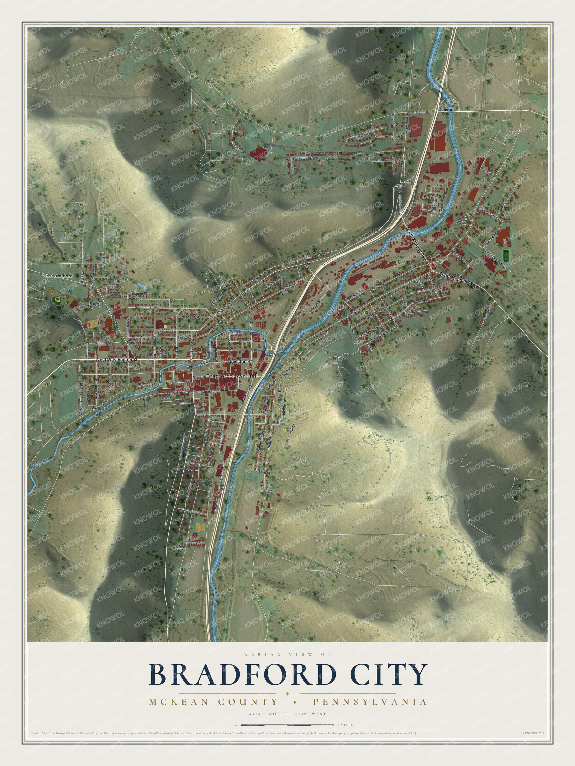
This beautifully detailed map of Bradford City, McKean County, Pennsylvania was created in 2026 using aerial imagery combined with modern topographical, census, street and landmark data. It’s a one-of-a-kind view of Bradford City that combines accurate data with a vintage aesthetic. The map shows every building in its true location, many of the roads carry their names, and the shaded topographic relief shows the shape of the land.
Explore an aerial view of Bradford City, McKean County, Pennsylvania
On the map you’ll find Bradford Town Hall and West Bradford, along with West Washington Street, Boylston Street, North Kendall Avenue, South Kendall Avenue, South Avenue, Mechanic Street, Jackson Avenue, Main Street, High Street, Hawthorne Road, and more. If you look closely you can even find your house accurately drawn in its correct location. Zoom in on the preview to look for yours.
Did you know this piece of Bradford City, McKean County, Pennsylvania history?
From the 1890 History of the Counties of McKean, Elk, Cameron and Potter, Pennsylvania: "The fire of November 15 and 16, 1878, destroyed forty buildings, great and small, including the Riddell House, the machine shops and foundry of Bovaird & Seyfang, the planing-mills and tank shop of Stewart, the United States Express Company’s building, besides numerous stores, saloons, boarding houses, and shops of every description."
Take a closer look at the Bradford City, McKean County map
Street and place names on the Bradford City, McKean County, Pennsylvania map
These names are printed on the map of Bradford City, McKean County, Pennsylvania.
Places: Bradford Town Hall and West Bradford.
Streets and roads: West Washington Street, Boylston Street, North Kendall Avenue, South Kendall Avenue, South Avenue, Mechanic Street, Jackson Avenue, Main Street, High Street, Hawthorne Road, Hill Street, Grove Street.
More street names, A to Z
Abbott Road, Amm Street, Bagley Avenue, Bank Street, Barbour Street, Bedford Street, Bellview Avenue, Bigley Avenue, Birch Street, Bishop Street, Bolivar Drive, Bon Air Avenue, Boyer Street, Brennan Street, Brookline Court, Brook Street, Burnside Avenue, Calvin Court, Campus Drive, Center Street, Chamberlain Avenue, Charlotte Avenue, Chautauqua Place, Chelsea Lane, Cherry Street, Chestnut Street, Chestnut Street Extended, Clarence Street, Cliff Street, Clinton Street, Cole Avenue, Colonial Heights, Congress Place, Congress Street, Constitution Avenue, Cornen Street, Cottage Row, Davis Street, Delaware Avenue, Durkee Alley, East Avenue, East Corydon Street, East Main Street, Edna Avenue, Edwards Street, Elm Street, Euclid Avenue, Festival Way, Fields Court, Fisher Court, Fiske Avenue, Forman Street, Glenwood Avenue, Greens Court, Harding Avenue, Harris Court, Harts Drive, Hillside Avenue, Hilton Street, Hobson Place, Holley Avenue, Homestead Avenue, Howard Street, Interstate Parkway, Jefferson Street, Kane Street, Keating Avenue, Kennedy Street, Kingsbury Avenue, Kinsua Street, Laurel Drive, Lawrence Avenue, Leigh Street, Limestone Street, Lincoln Avenue, Linwood Avenue, Longfellow Avenue, Lorana Avenue, Mallory Avenue, Maplewood Avenue, Marion Avenue, Melvin Avenue, Merrow Avenue, Miller Street, Mill Street, Neva Drive, North Bennett Street, North Bennett Street Extended, North Center Street, Northgate Drive, North Onofrio Street, Oakwood Avenue, Old Seaward Avenue, Onofrio Street, Orchard Place, Osborne Place, Oxford Street, Park Street, Parkview Avenue, Parkway Lane, Pearl Street, Penn Avenue, Petrolia Street, Pike Street, Pine Street, Pleasant Street, Poplin Avenue, Potter Street, Prendergast Avenue, Prospect Street, Race Street, River Street, Roberts Street, Rochester Street, Rockland Avenue, Rosedale Avenue, Russell Boulevard, Saint Francis Drive, Sanford Street, School Street, Scott Avenue, Seaward Avenue, Sherman Street, South Center Street, South Davis Street, State Street, Stone Avenue, Summer Street, Terrace Street, Third, Thompson Avenue, Tibbitts Avenue, Tuna Avenue, Valleybrook Drive, Vista Circle, Walker Avenue, Welch Avenue, West Corydon Street, Whitehead Avenue, Willard Avenue, Williams Street, Winter Street, York Street, Zoe Street.
See the Bradford City, McKean County, Pennsylvania map on a wall
The Bradford City, McKean County map as an 18 x 24 inch print in a black frame.

This beautifully detailed map of City of Bradford, McKean County makes an attractive addition to your office, library, or den, and it can even be used to teach children the geography and history of the area. It also makes a great gift for anyone with Bradford City roots. When you’re done exploring, click here to get your copy of the City of Bradford, McKean County map.