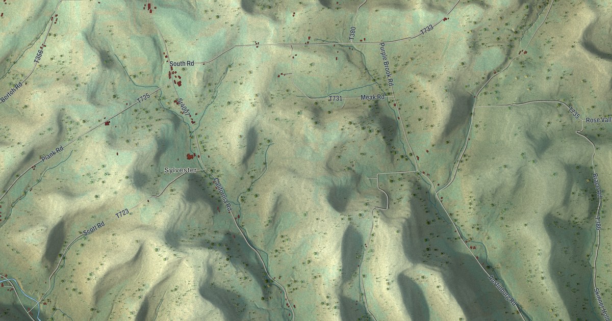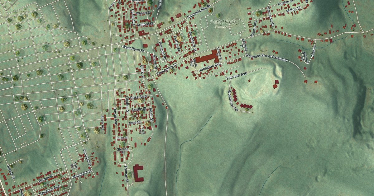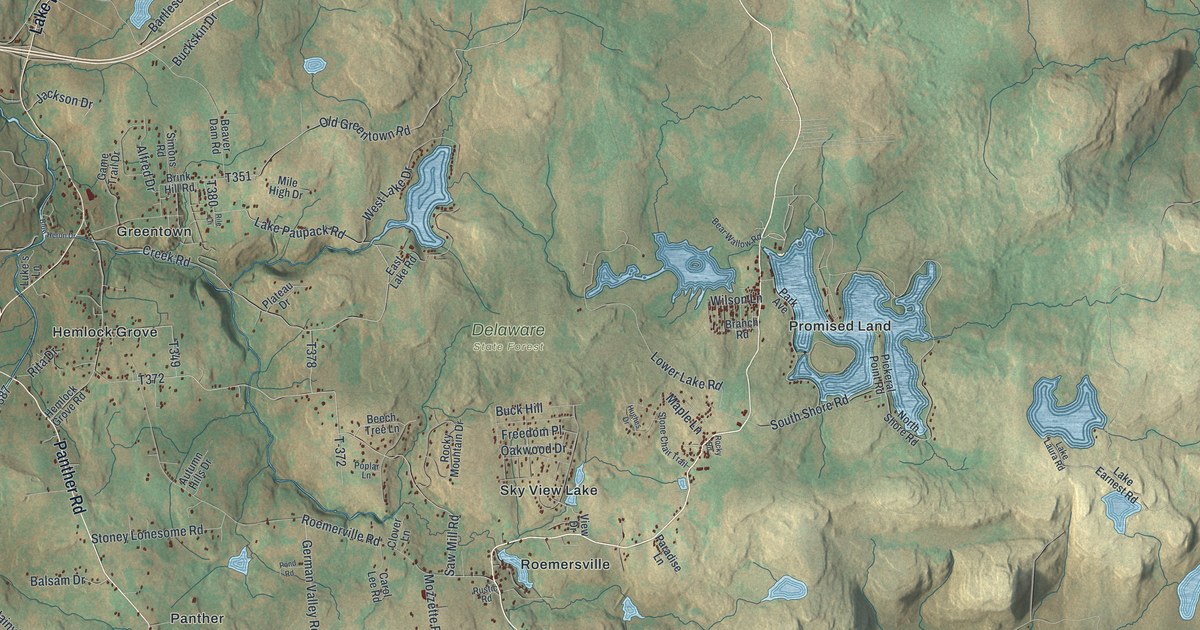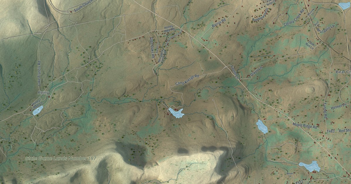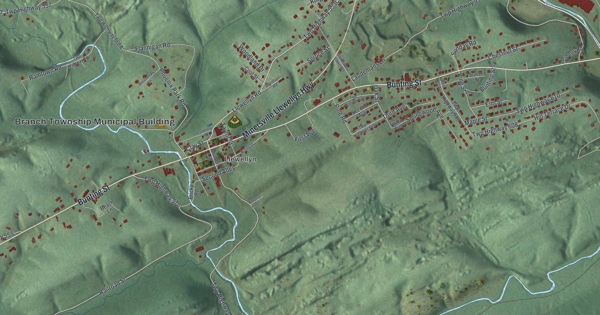
This beautifully detailed map of Branch, Pennsylvania was created in 2026 using aerial imagery combined with modern topographical, census, street and landmark data. It’s a one-of-a-kind view of Branch that combines accurate data with a vintage aesthetic. The map shows every building in its true location, many of the roads carry their names, and the shaded topographic relief shows the shape of the land.
Explore an aerial view of Branch, Pennsylvania
On the map you’ll find Branch Township Municipal Building, Steins, Phoenix Park, and Llewellyn, along with Pottsville Minersville Highway, Bunting Street, Minersville Llewellyn Highway, Llewellyn Road, Twp Highway 553C, Third Street, Twp Highway 571A, Twp Highway 570, and more. If you look closely you can even find your house accurately drawn in its correct location. Zoom in on the preview to look for yours.
Take a closer look at the Branch map
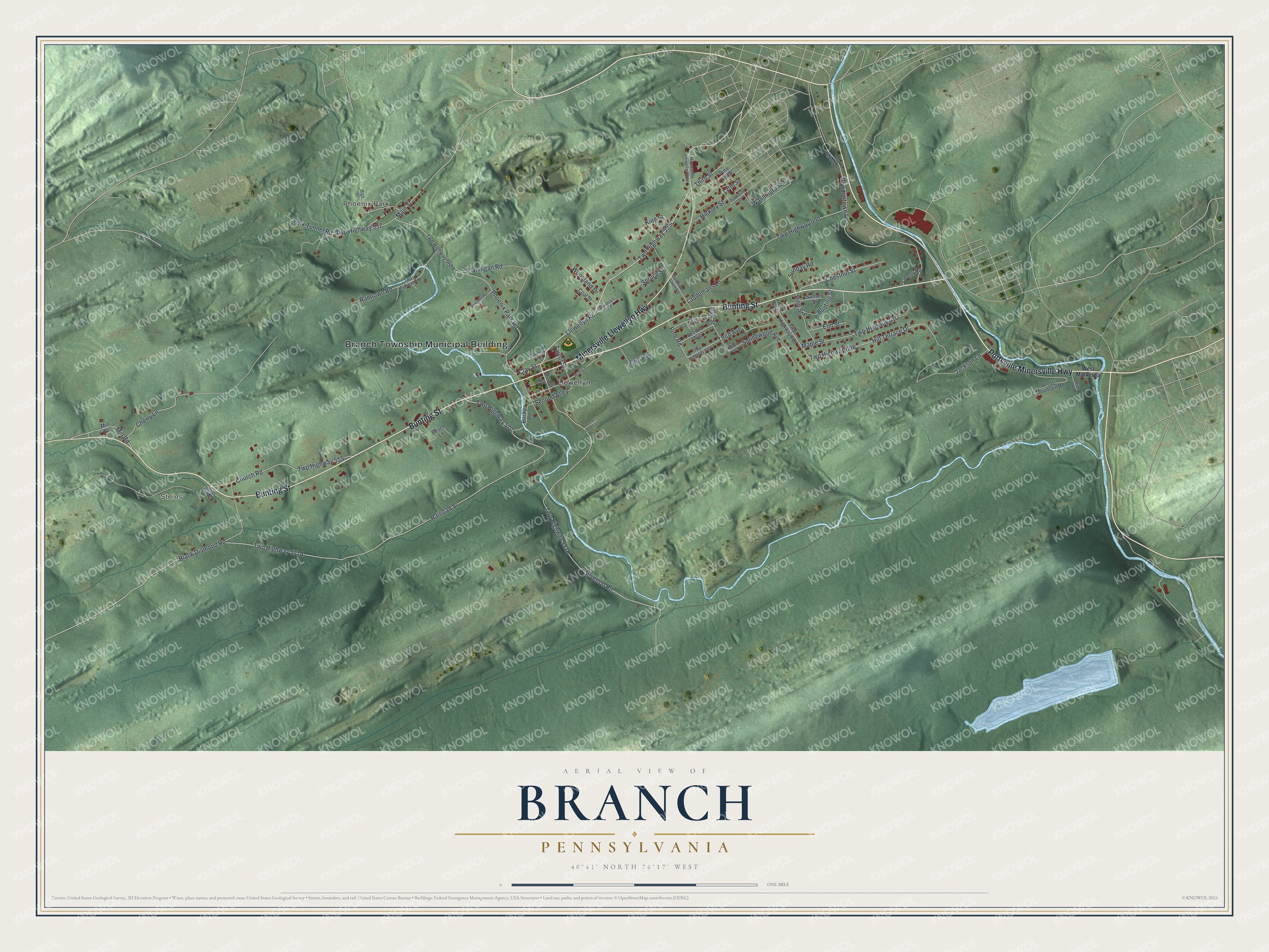
Street and place names on the Branch, Pennsylvania map
These names are printed on the map of Branch, Pennsylvania.
Places: Branch Township Municipal Building, Steins, Phoenix Park and Llewellyn.
Streets and roads: Pottsville Minersville Highway, Bunting Street, Minersville Llewellyn Highway, Llewellyn Road, Third Street, Twp Highway 570, Clay Street, Black Diamond Road, Second Alley, Hill Terrace Drive, Cherry Lane, Third Avenue.
More street names, A to Z
Barnhart Road, Bassininsky Lane, Beach Lane, Bricky Road, Cemetery Road, Chestnut Street, Church Road, Coal Street, Dowdentown Road, Elm Street, First Avenue, Flannigan Road, Fourth Avenue, Goose Haven Lane, Hickory Street, High Street, Jackson Lane, King Street, Laudemans Lane, Liberty Road, Lost Mountain Road, Lytle Street, Main Street, Maple Street, Miller Road, Mill Road, Mill Street, Oak Street, Phoenix Park Road, Pine Hill Street, Pine Road, Pine Street, Pottsville Street, Railroad Street, Ramtown Road, Second Avenue, Shober Street, Silverton Road, Southwest Lawn Road, Springwood Avenue, Spruce Street, Steins Mill Road, Sunday Road, Sunset Street, Taylor Street, Twp Highway 555, Twp Highway 557, Twp Highway 605, Twp Highway 607, Twp Highway 608, Twp Highway 610, Twp Highway 814, Twp Highway 976, Twp Highway 988, Twp Highway 990, Washington Street, West Market Street, West West Avenue, Willing Street, Woodland Drive, York Tunnel Road.
See the Branch, Pennsylvania map on a wall
The Branch map as an 18 x 24 inch print in a black frame.

This beautifully detailed map of Branch makes an attractive addition to your office, library, or den, and it can even be used to teach children the geography and history of the area. It also makes a great gift for anyone with Branch roots. When you’re done exploring, click here to get your copy of the Branch map.