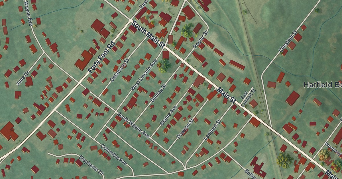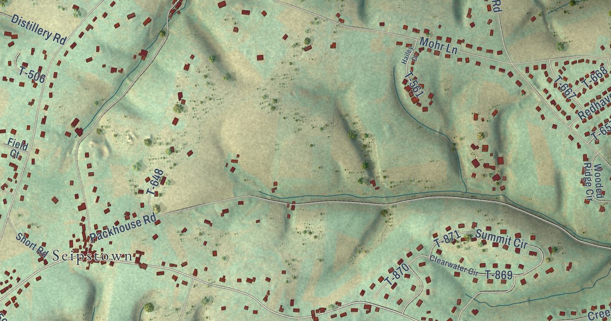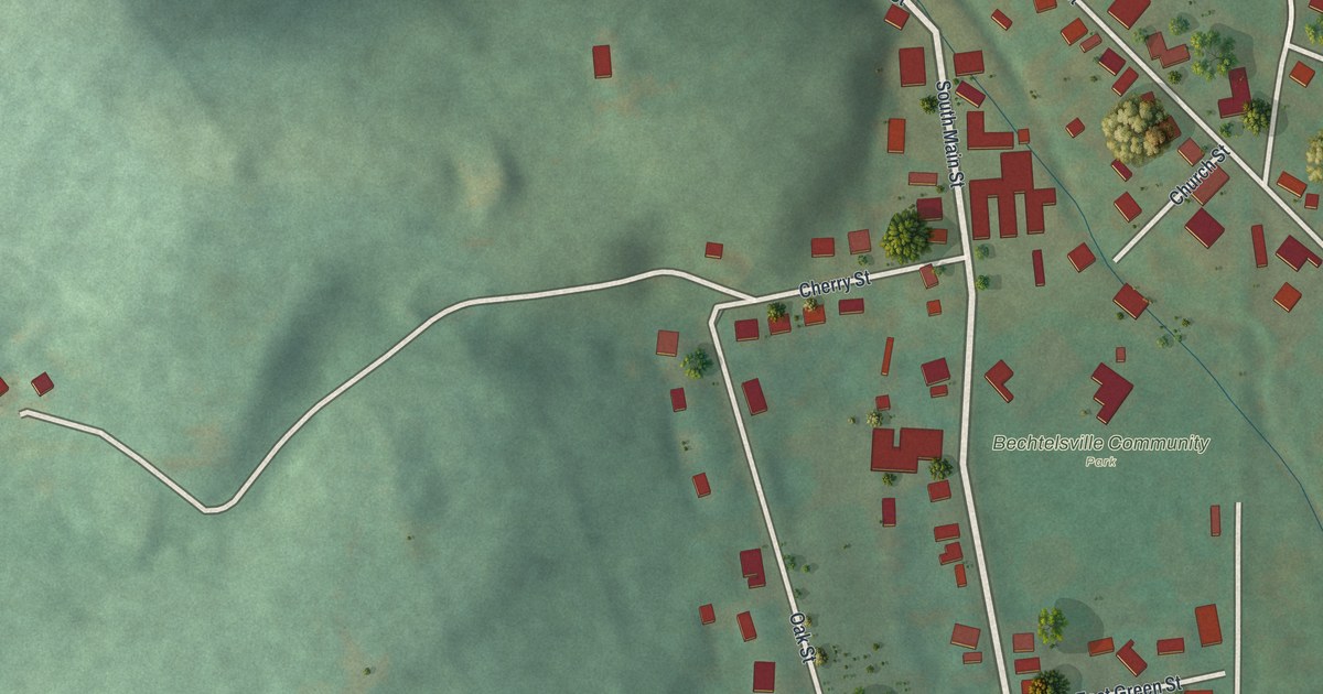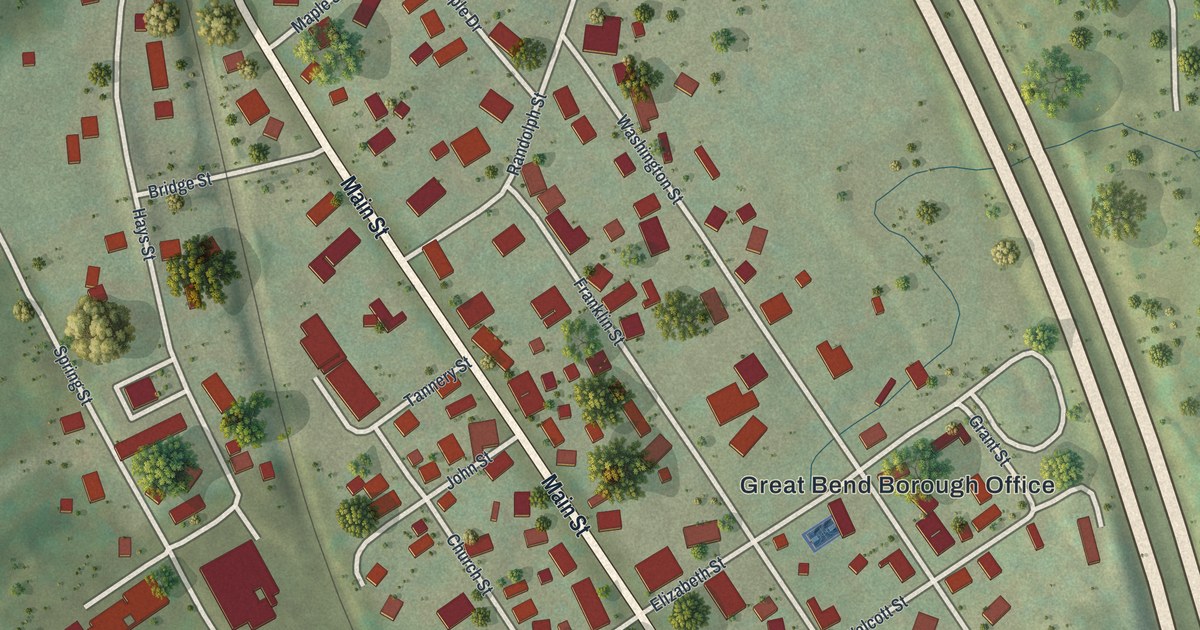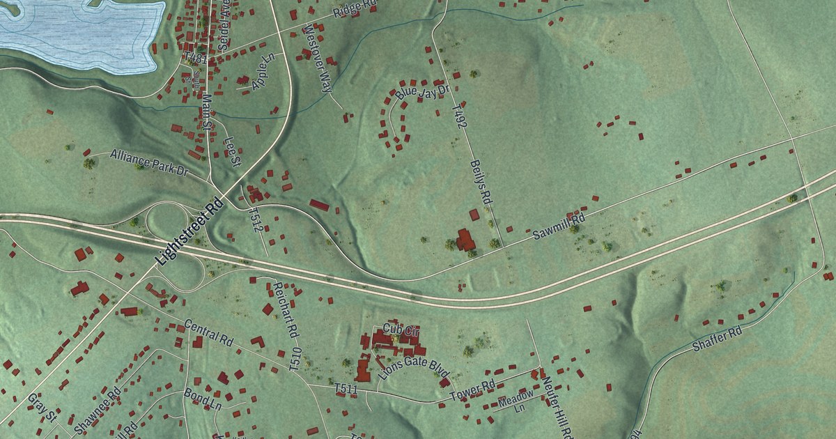
This beautifully detailed map of Scott, Columbia County, Pennsylvania was created in 2026 using aerial imagery combined with modern topographical, census, street and landmark data. It’s a one-of-a-kind view of Scott that combines accurate data with a vintage aesthetic. The map shows every building in its true location, many of the roads carry their names, and the shaded topographic relief shows the shape of the land.
Explore an aerial view of Scott, Columbia County, Pennsylvania
On the map you’ll find Espy, Paper Mill, New Rosemont Cemetery, Almedia, and Sky View Acres, along with Light Street, Columbia Boulevard, Lightstreet Road, Bissets Lane, Main Street, and more. If you look closely you can even find your house accurately drawn in its correct location. Zoom in on the preview to look for yours.
Take a closer look at the Scott, Columbia County map
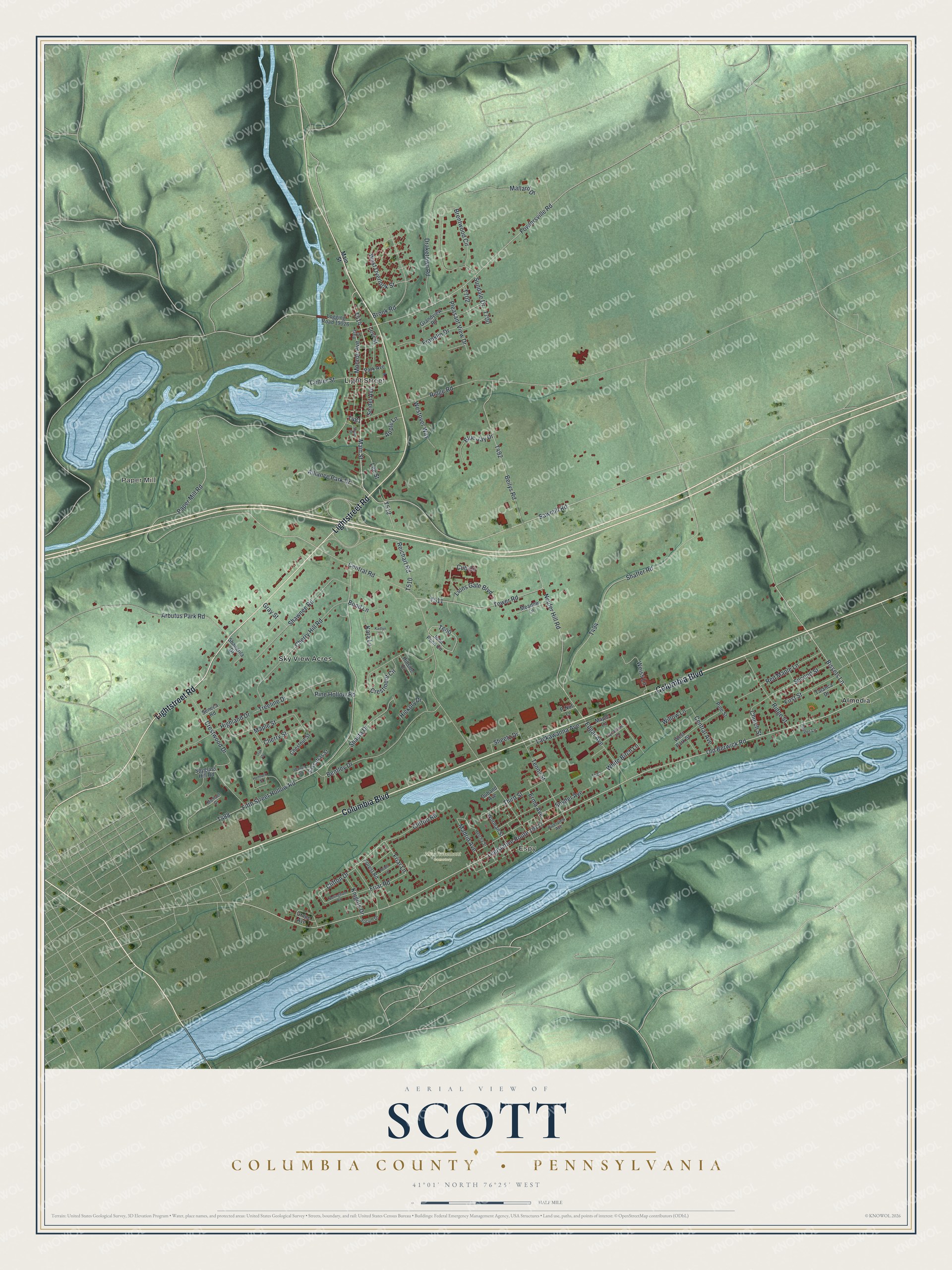
Street and place names on the Scott, Columbia County, Pennsylvania map
These names are printed on the map of Scott, Columbia County, Pennsylvania.
Places: Espy, Paper Mill, Light Street, New Rosemont Cemetery, Almedia and Sky View Acres.
Streets and roads: Columbia Boulevard, Lightstreet Road, Bissets Lane, Main Street, Paper Mill Road, Sawmill Road, Clifton Drive, Friar Lane, Old Berwick Road, Friar Road, Madrid Avenue, Legislative Route 19117.
More street names, A to Z
Alliance Park Drive, Apple Lane, Arbutus Park Road, Beilys Road, Bentley Drive, Blue Jay Drive, Bond Lane, Brentwood Circle, Brook Road, Center Street, Central Avenue, Central Road, Cherry Hill Road, Cherry Street, Chestnut Street, Church Street, Clifton Road, Crestmont Circle, Crestwood Drive, Cub Circle, Draketown Road, Duband Avenue, Easy Street, Edgar Avenue, Erma Avenue, Fifth Street Hollow Road, First Street, Forest Road, Fowlersville Road, Franklin Drive, Grandview Road, Grape Avenue, Gray Street, Helcha Street, Hemlock Street, Hickory Drive, Highland Drive, Hillside Drive, Hopper Lane, John Penn Circle, Kaitlyn Lane, Kara Lane, Knights Drive, Lackawanna Avenue, Lee Street, Levi Street, Lions Gate Boulevard, Logging Road 19026, Mallard Drive, Maple Lane, Maple Street, Meadow Lane, Michael Drive, Monroe Avenue, Neufer Hill Road, Nottingham Road, Oak Street, P-Nut Lane, Park Avenue, Pine Hollow Road, Pine Street, Pleasant View Drive, Red Maple Lane, Reichart Road, Ridge Road, Ridge Street, Riverview Avenue, Robin Lane, Sassafras Street, Second Street, Seidel Avenue, Seneca Road, Shaffer Road, Shangrila Drive, Shasta Drive, Shawnee Road, Sheetz Drive, Snyder Avenue, South Street, Spyglass Hill Road, Sundale Drive, Sycamore Lane, Talanca Drive, Tenny Street, Third Street, Tower Road, Treeline Drive, Walnut Street, Weiss Lane, West Overlook Street, Westover Way, West Park Street, White Birch Lane, Willow Lane, Worman Street, Yocum Drive.
See the Scott, Columbia County, Pennsylvania map on a wall
The Scott, Columbia County map as an 18 x 24 inch print in a black frame.

This beautifully detailed map of Scott, Columbia County makes an attractive addition to your office, library, or den, and it can even be used to teach children the geography and history of the area. It also makes a great gift for anyone with Scott roots. When you’re done exploring, click here to get your copy of the Scott, Columbia County map.