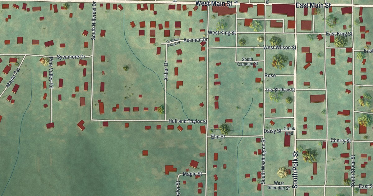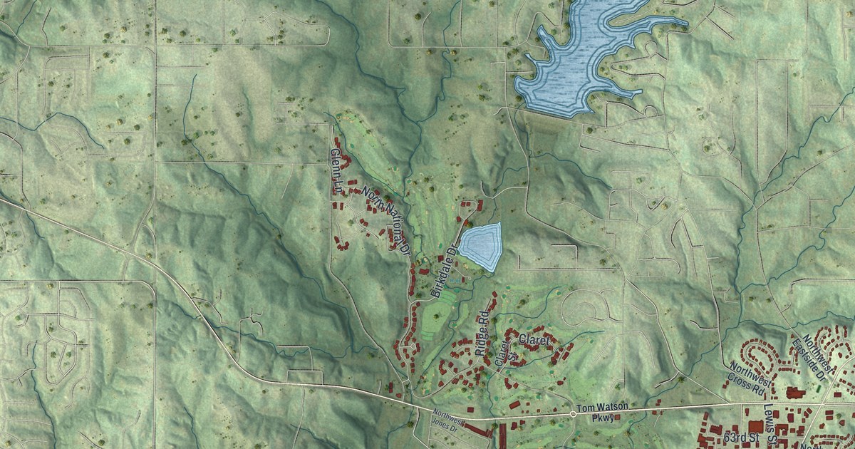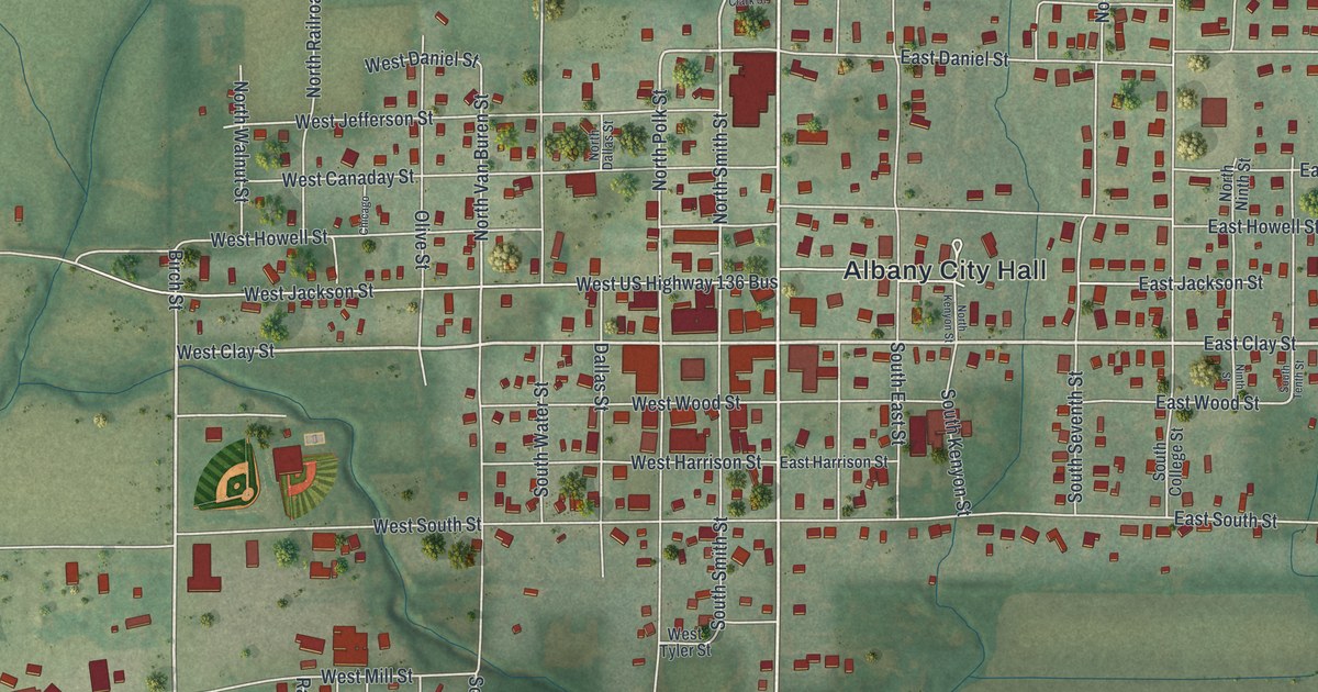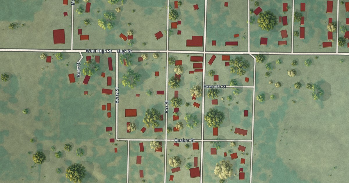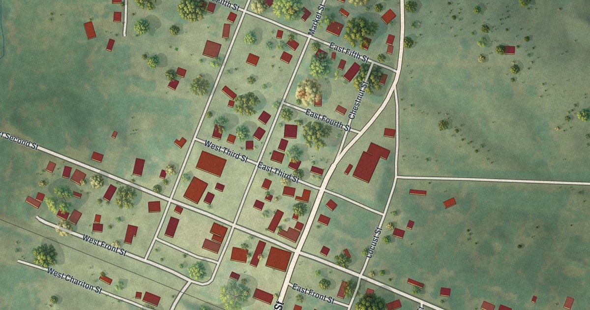
If you grew up on Chestnut Street or still have family in Callao, this map puts your hometown on the wall. It's a modern aerial view of Callao in Macon County, Missouri, made from modern data and given a vintage look. You'll see the small grid of streets around Chestnut Street and Second Street, a rail line cutting across town, a ball diamond at the north edge and green farm fields all around.
Aunt Polly Baskett's birthday in Callao
On this map you'll find Chestnut Street, Second Street, Market Street, Macon Street, Pine Street, Locust Street, Hickory Street, Elm Street, West Clarence Street, East Chariton Street, Kenton Street, Randolph Street, Ballenger Street, Old Highway 36 West, Locust Grove Cemetery, and more. Each red shape is a building, so zoom in on the preview and look for yours.
Callao's best old story is about one woman. The General History of Macon County, written in 1910, tells it. Polly Baskett of Callao was born on May 27, 1800. As she got close to 100, she badly wanted to live out the full hundred years. She prayed for it. She died on May 28, 1901, one year and a day past her goal. The book calls her Aunt Polly.
Her birthday was a big day in Callao. The book says it was something like Christmas, New Year's Day or the Fourth of July. Each year, on the Sunday in May near her birthday, the Baptist minister preached a sermon about her. There were songs and recitations. The mayor or another leader read a short account of her life. Children grew up thinking her birthday was a holiday everywhere. Almost no business was done in the village that day. Today Chestnut Street and Second Street still run through the middle of that small town.
The Johnson Morrow House on Second Street
Callao has a place on the National Register of Historic Places, too. The Johnson Morrow House was listed in 1994. Its address is given as Second Street, just west of Pine Street. Both of those streets are printed on the map, so you can find the blocks around it.
Chestnut Street and Callao on your wall
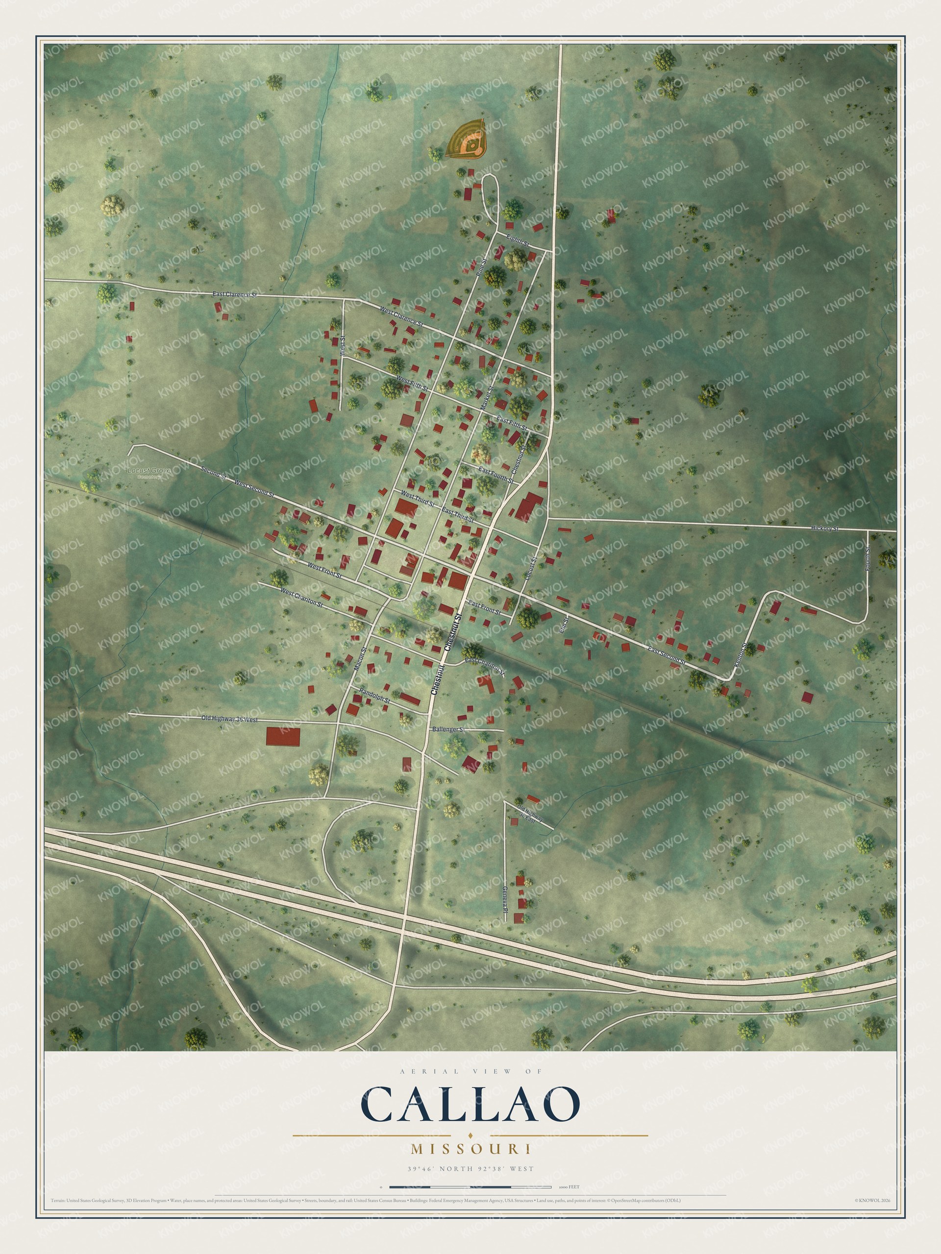
Created by KNOWOL in 2026, this print shows Callao from above in soft greens, with red buildings, pale roads and the rolling farm land around town. The title panel reads "Aerial View of Callao, Missouri" with the coordinates 39°46' North 92°38' West.
It fits a living room, a kitchen or a front hall. It's a kind gift for anyone who grew up near Chestnut Street and moved away, or for a family with roots near Locust Grove Cemetery. Open the preview and look for the street you know. See sizes and frames for the Callao map.