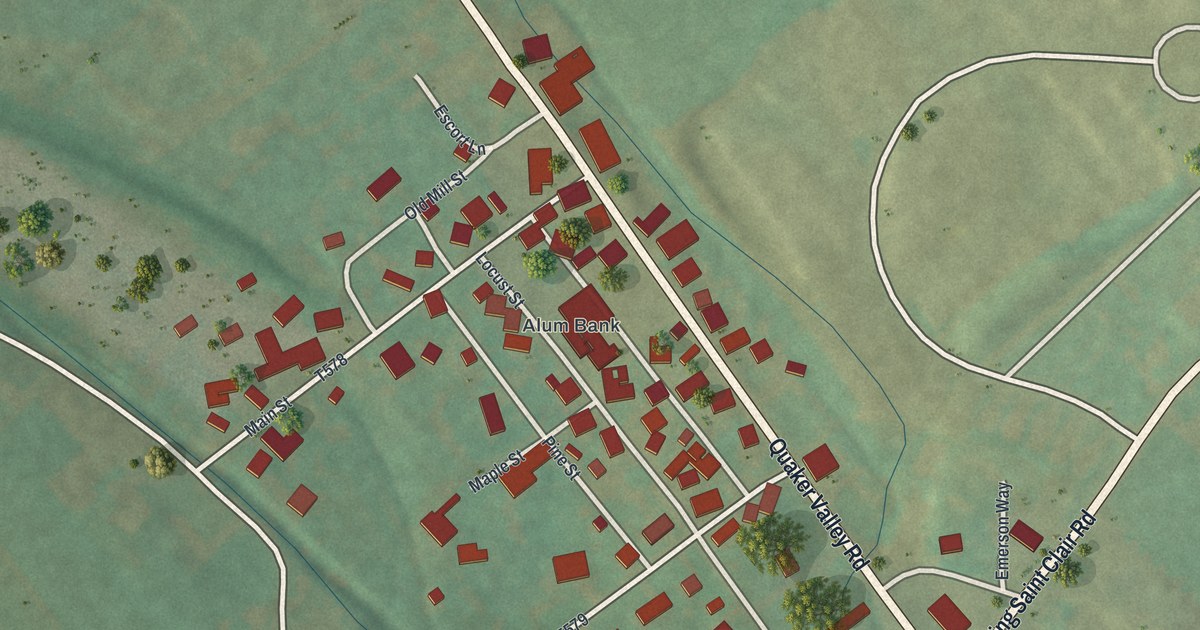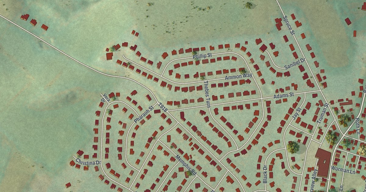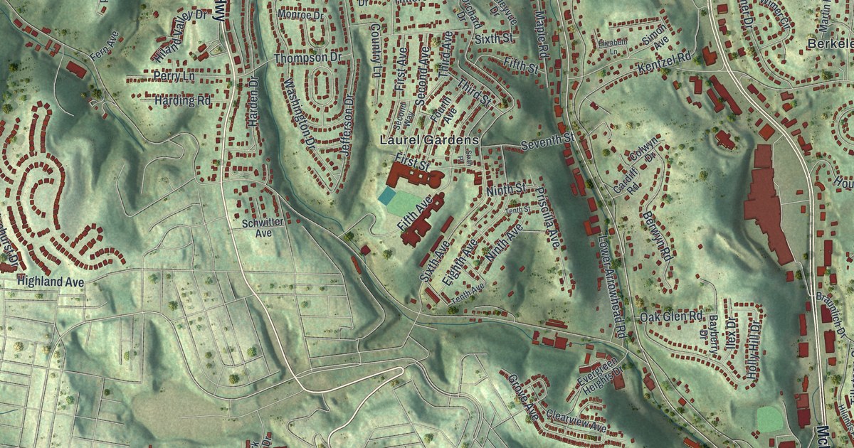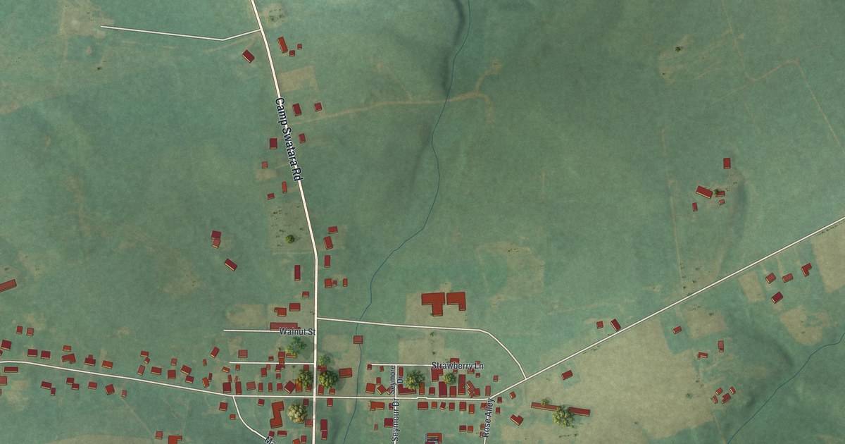
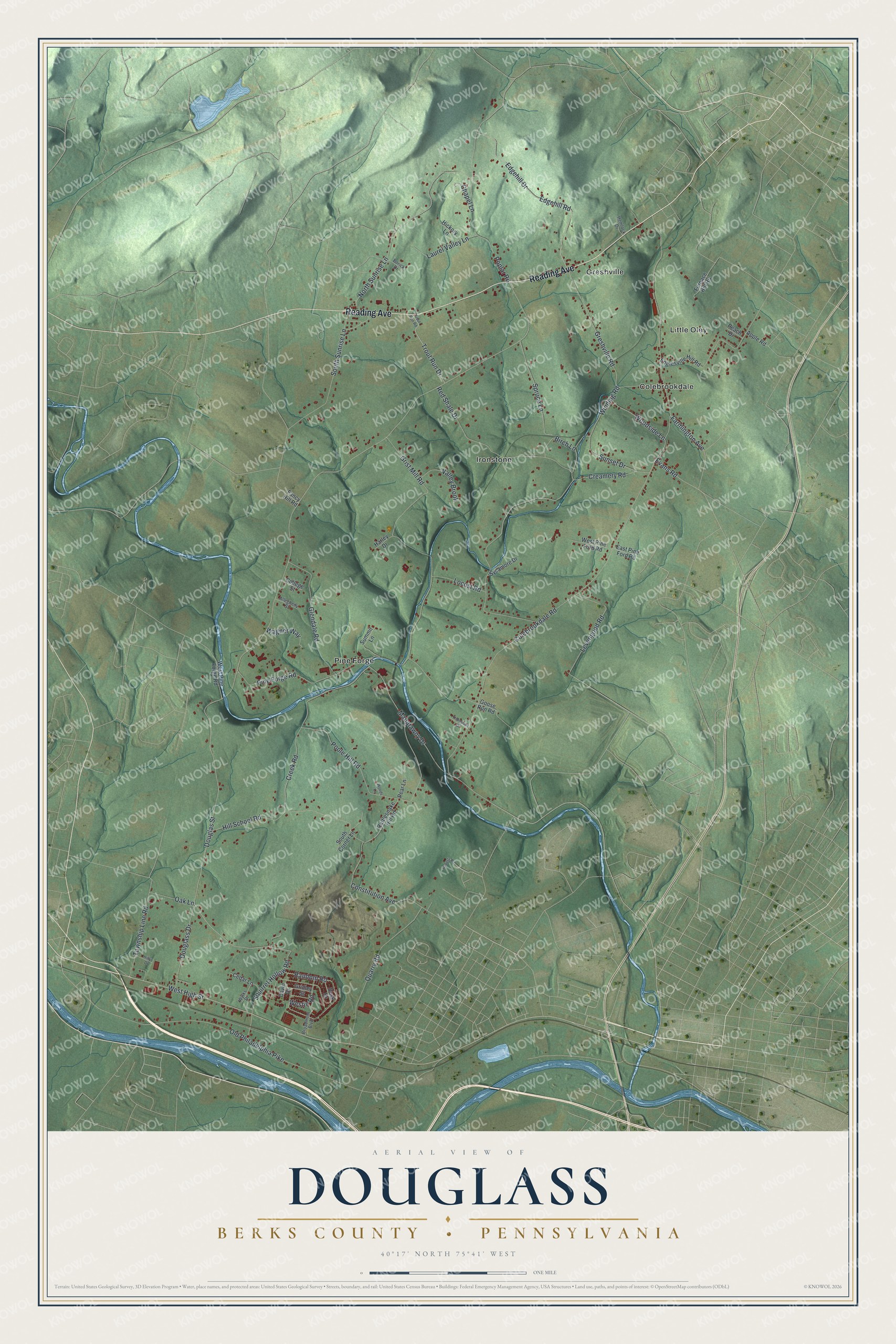
This beautifully detailed map of Douglass, Berks County, Pennsylvania was created in 2026 using aerial imagery combined with modern topographical, census, street and landmark data. It’s a one-of-a-kind view of Douglass that combines accurate data with a vintage aesthetic. The map shows every building in its true location, many of the roads carry their names, and the shaded topographic relief shows the shape of the land.
Explore an aerial view of Douglass, Berks County, Pennsylvania
On the map you’ll find Colebrookdale, Greshville, Ironstone, Little Oley, and Pine Forge, along with Reading Avenue, West High Street, Random Road, Douglas Street, Colebrookdale Road, Winding Road, Pine Forge Road, and more. If you look closely you can even find your house accurately drawn in its correct location. Zoom in on the preview to look for yours.
Did you know this piece of Douglass, Berks County, Pennsylvania history?
Douglass Township is home to the Pine Forge Iron Plantation, also known as Thomas Rutter’s Mansion. The oldest part of its manor house dates to about 1730. Ruins of a dam and a grist mill survive on the grounds. Pine Forge Academy now uses the old iron estate.
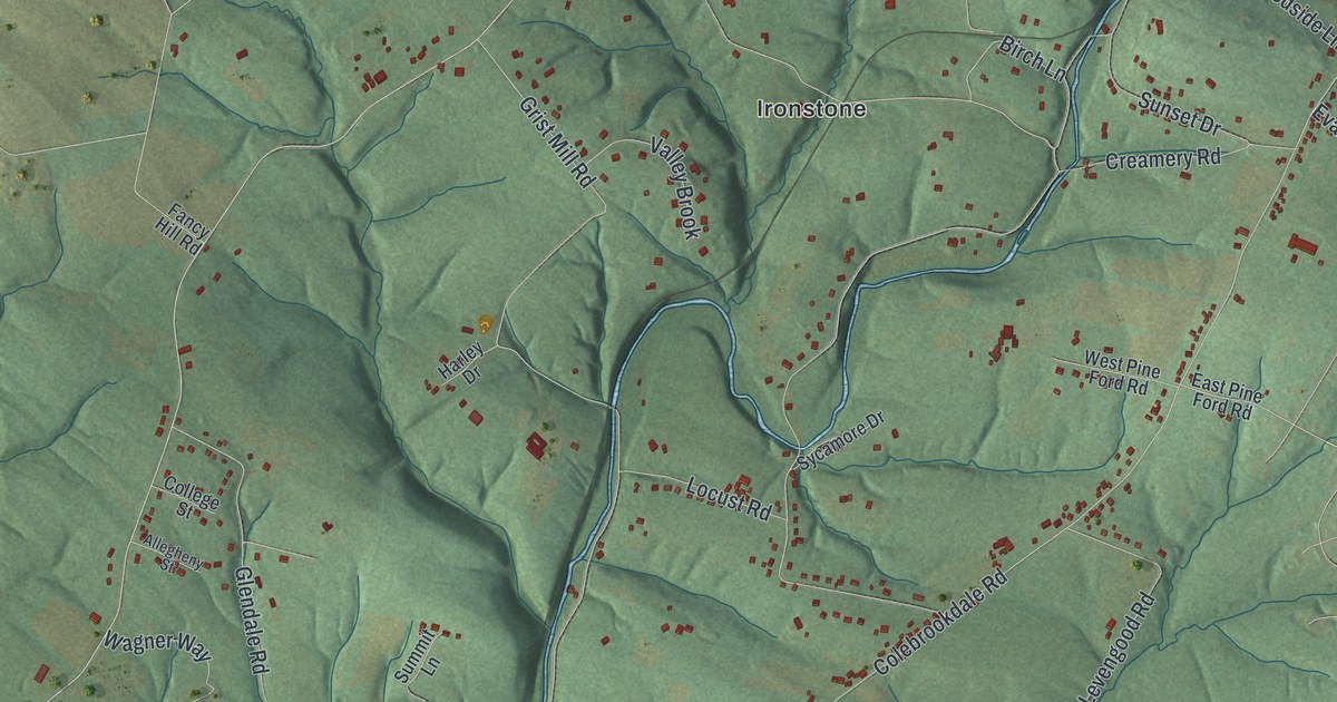
Take a closer look at the Douglass, Berks County map
Street and place names on the Douglass, Berks County, Pennsylvania map
These names are printed on the map of Douglass, Berks County, Pennsylvania.
Places: Colebrookdale, Greshville, Ironstone, Little Oley and Pine Forge.
Streets and roads: Reading Avenue, West High Street, Random Road, Douglas Street, Colebrookdale Road, Winding Road, Pine Forge Road, Grist Mill Road, Farmington Avenue, North Sunrise Lane, Poplar Road, Edgehill Drive.
More street names, A to Z
Allegheny Street, Apple Road, Birch Lane, Borick Drive, Broadmoor Boulevard, Cedar Lane, Chapel Lane, College Street, Constitution Avenue, Creamery Road, Creek Road, Dawn Drive, Douglass Drive, Dusk Drive, East Pine Ford Road, Edgehill Road, Englesville Hill Road, Evans Road, Fancy Hill Road, Furnace Hill Road, Glendale Road, Goose Run Road, Greshville Road, Gridley Street, Harley Drive, Hemlock Drive, Hickory Lane, Hill School Road, Hiltys Drive, Laurel Valley Lane, Levengood Road, Locust Road, Manatawny Drive, Oak Lane, Old Philadelphia Pike, Peach Drive, Pear Lane, Poole Hill Road, Quarry Road, Rattlesnake Hill Road, Red Shale Drive, Roberts Road, South Corner Lane, South Sunrise Lane, Spruce Lane, Squirrel Hollow Road, Summit Lane, Sunset Drive, Sycamore Drive, Thompson Drive, Township Line Road, Trout Run Drive, Trout Run Road, Valley Brook, Wagner Way, Westin Road, West Pine Ford Road, West Pine Forge Road, Woodside Lane, Woods Lane, Wylks Drive.
See the Douglass, Berks County, Pennsylvania map on a wall
The Douglass, Berks County map as an 18 x 24 inch print in a black frame.

This beautifully detailed map of Douglass, Berks County makes an attractive addition to your office, library, or den, and it can even be used to teach children the geography and history of the area. It also makes a great gift for anyone who grew up in Douglass or moved away. When you’re done exploring, click here to get your copy of the Douglass, Berks County map.