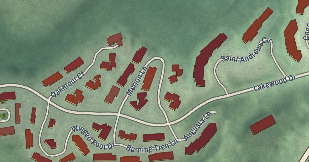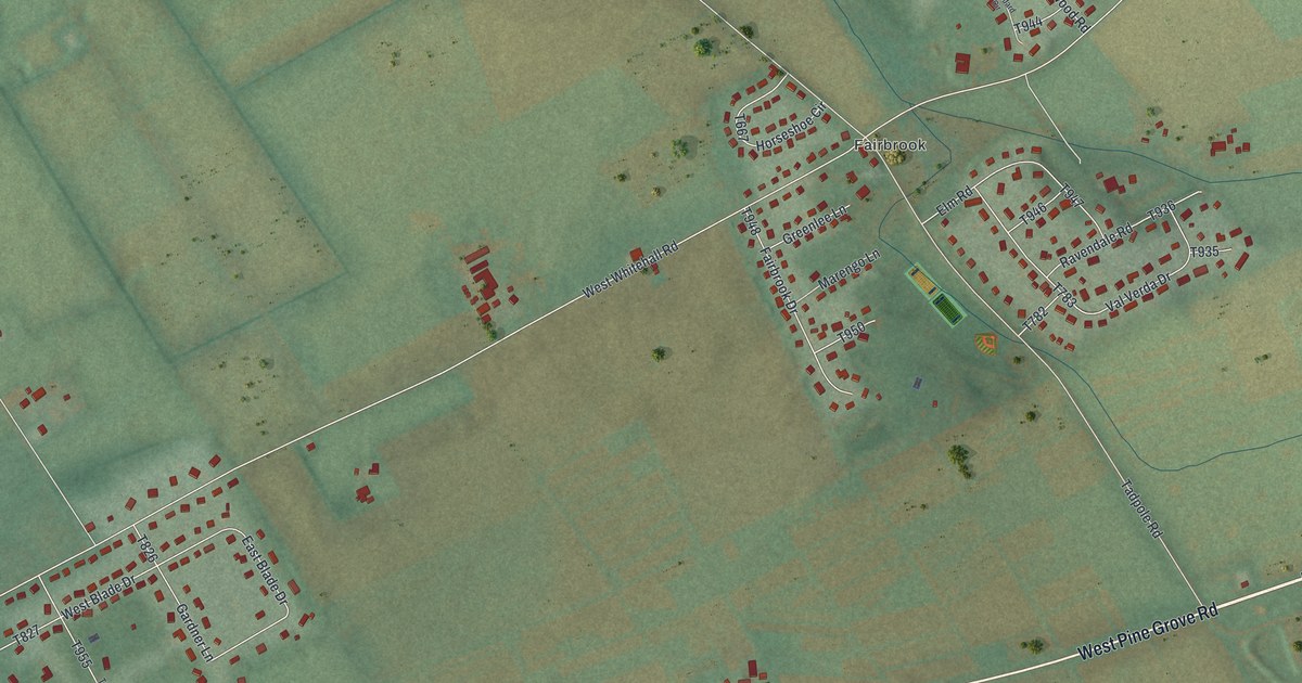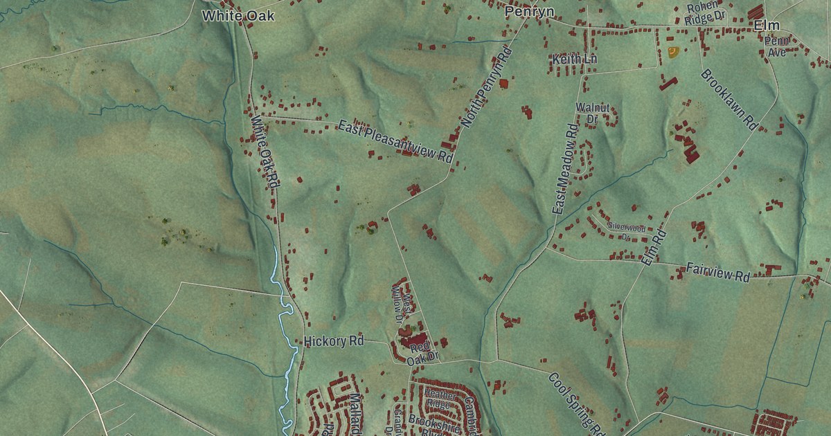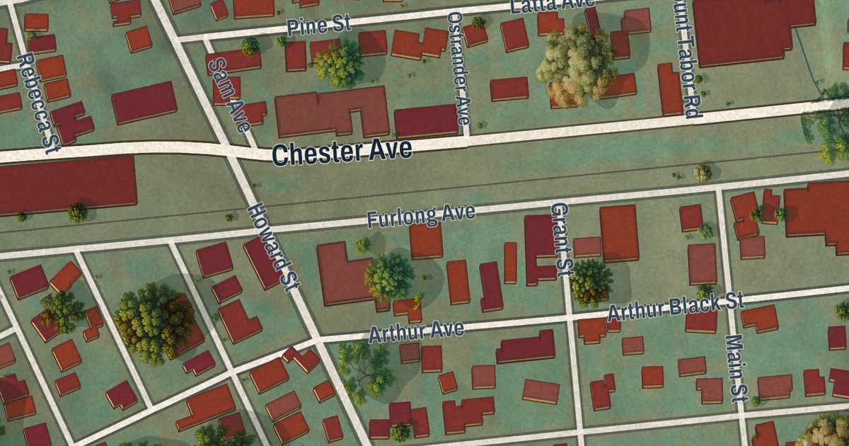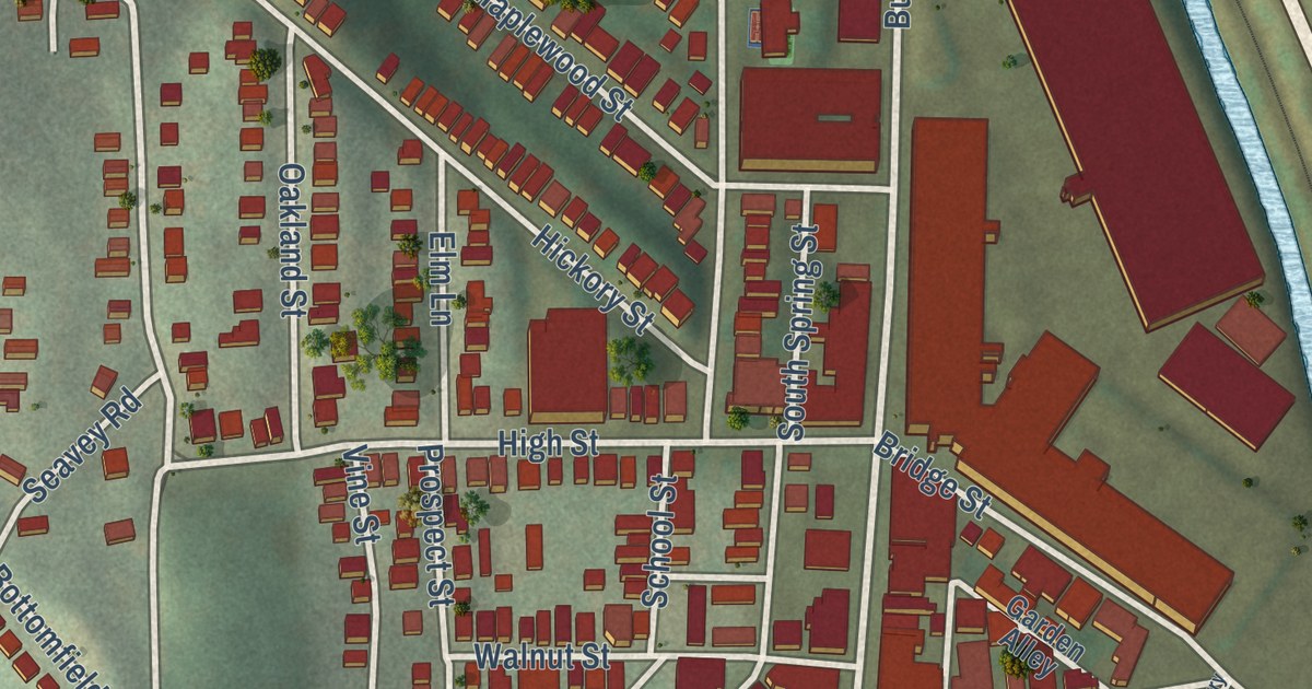
This beautifully detailed map of Etna, Pennsylvania was created in 2026 using aerial imagery combined with modern topographical, census, street and landmark data. It’s a one-of-a-kind view of Etna that combines accurate data with a vintage aesthetic. The map shows every building in its true location, many of the roads carry their names, and the shaded topographic relief shows the shape of the land.
Explore an aerial view of Etna, Pennsylvania
On the map you’ll find William Flynn Highway, Butler Street, Grant Avenue, Spring Street, Cherry Street, Cedar Street, Leonard Avenue, High Street, Railroad Street, Pine Street, Poplar Street, Dewey Street, and more. If you look closely you can even find your house accurately drawn in its correct location. Zoom in on the preview to look for yours.
Take a closer look at the Etna map
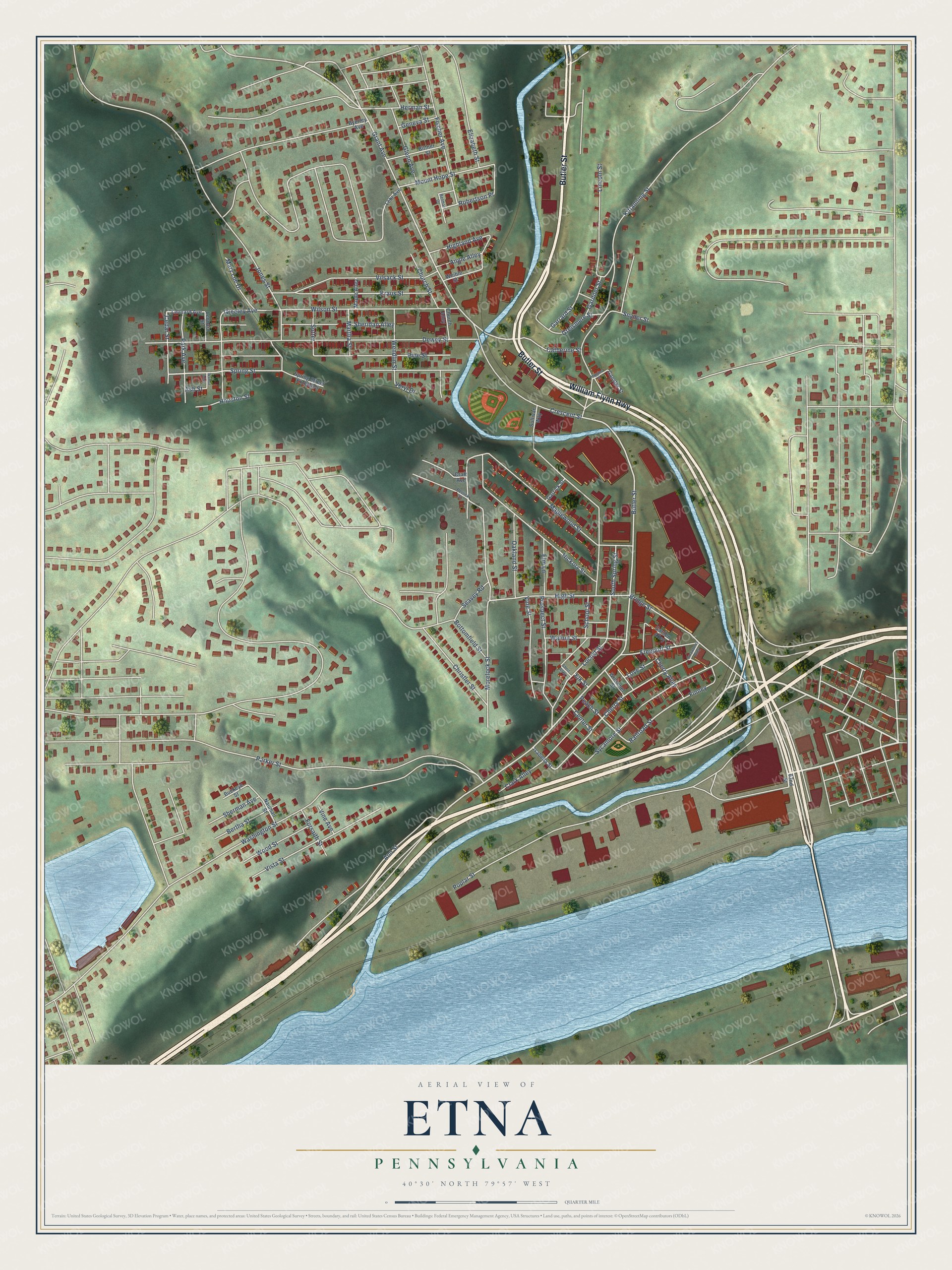
Street names on the Etna, Pennsylvania map
These names are printed on the map of Etna, Pennsylvania.
Streets and roads: William Flynn Highway, Butler Street, Spring Street, Railroad Street, Cherry Street, Robertson Place, Cedar Street, Grant Avenue, High Street, Pine Street, Poplar Street, Dewey Street.
More street names, A to Z
62nd Street, Angle Alley, Ann Street, Ash Street, Belmar Drive, Bertha Street, Bittner Street, Bottomfield Street, Bridge Street, Buckeye Street, Byerley Avenue, Catherine Street, Center Street, Cherry Alley, Christler Street, Church Alley, Church Street, Clark Alley, Craft Avenue, Crescent Street, Elizabeth Street, Elk Street, Elm Lane, Finney, Fischer Avenue, Forsaith Street, Freeport Street, Ganster Street, Garden Alley, Gardner Street, Garrard Street, Garrick Street, Geneva Street, Glenn Avenue, Greeley Avenue, Greismere Street, Herman Street, Hickory Street, Higgins Street, Highland Avenue, Houston Street, Isabella Street, Jones Street, Kittanning Street, Kraus Street, Lehr Avenue, Leonard Avenue, Leonard Street, Lincoln Street, Locust Street, Love Street, Maple Alley, Maplewood Street, Martha Street, Mary Lue Drive, Morelock Street, Mount Hope Street, Nauman Street, Oakland Street, Park Avenue, Parker Street, Peach Street, Perlick Street, Prospect Street, School Street, Seavey Road, Sheridan Alley, Sherman Avenue, Short Alley, Snyder Street, South Spring Street, Spring Street Extended, Strawberry Alley, Sullivan Way, Sutter, Sycamore Street, Veryl Drive, Vilsack Street, Vine Avenue, Vine Street, Vista Street, Walnut Alley, Walnut Street, Washington Street, Weible Street, Wendlin Street, Wilson Street, Winschel Street, Wood Street.
See the Etna, Pennsylvania map on a wall
The Etna map as an 18 x 24 inch print in a black frame.

This beautifully detailed map of Etna makes an attractive addition to your office, library, or den, and it can even be used to teach children the geography and history of the area. It also makes a great gift for anyone who grew up in Etna or moved away. When you’re done exploring, click here to get your copy of the Etna map.