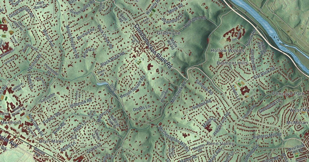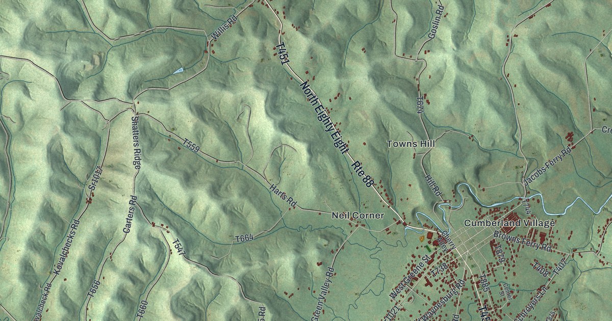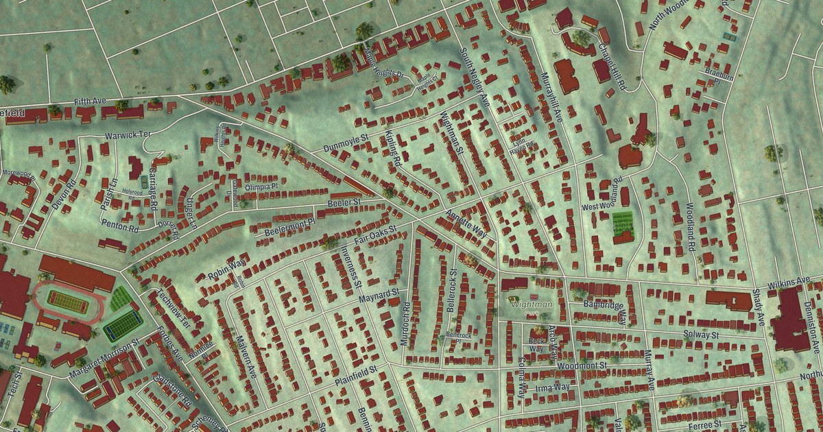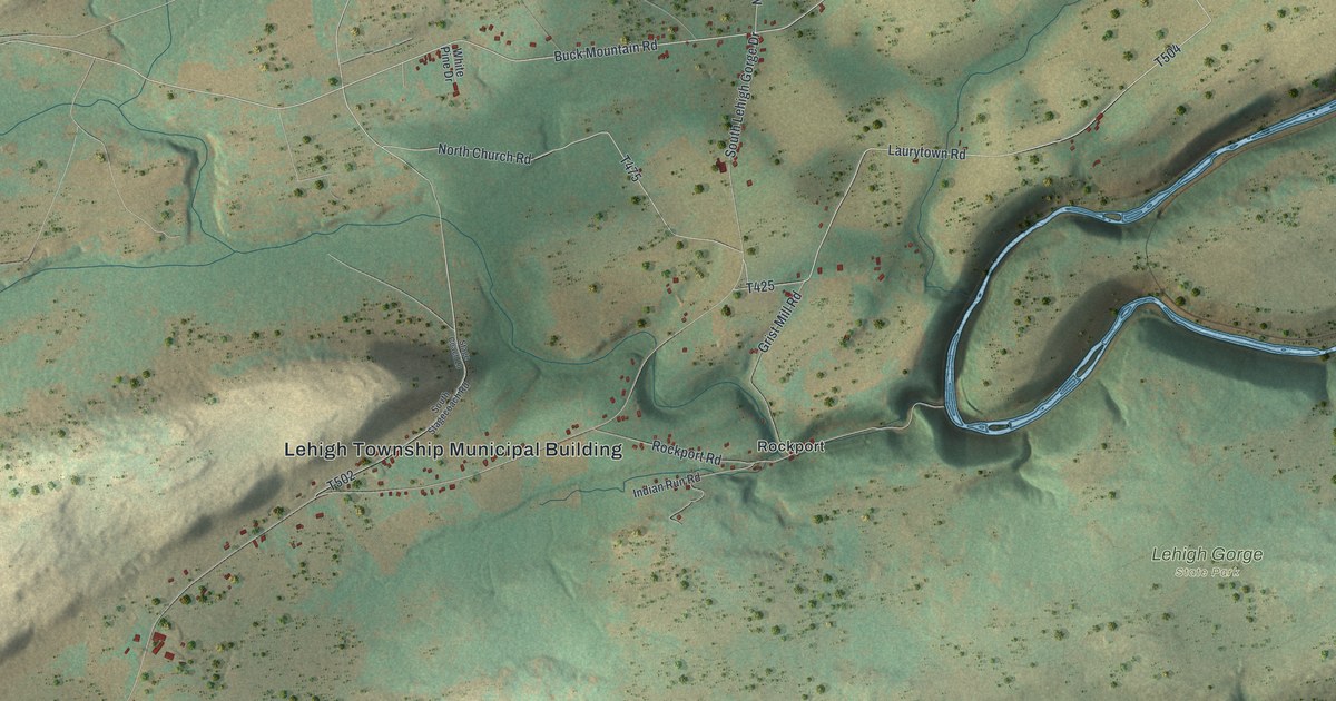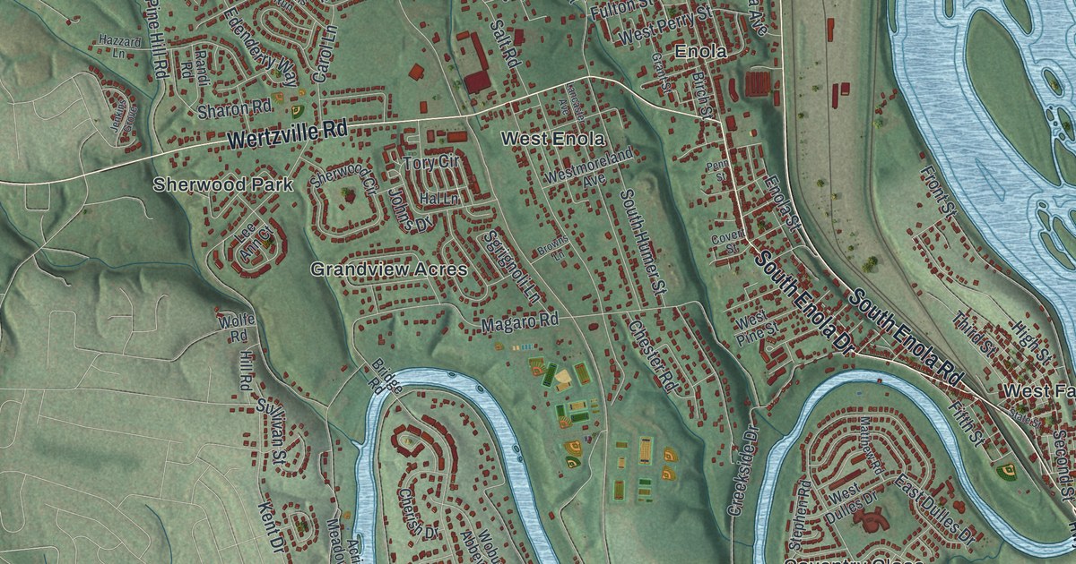
If you grew up in Enola, Summerdale or West Fairview, this map shows the streets you know by heart. It's a modern aerial view of East Pennsboro Township in Cumberland County, Pennsylvania, made from modern data and given a vintage look. A wide river full of small islands runs down the right side. A creek bends in deep loops across the lower half. A long ridge crosses the top, and thousands of red buildings fill the land in between.
Enola, Summerdale and West Fairview on the map
On this map you'll find North Enola Road, South Enola Drive, Wertzville Road, Valley Road, Front Street, Center Street, Oyster Mill Road, Magaro Road, Holy Spirit Hospital Drive, Panther Parkway, Camp Hill Bypass, Enola, Summerdale, West Fairview, Knob Point, and more. Each red shape is a building, so zoom in on the preview and look for yours.
Henszey's iron bridge in Summerdale
Summerdale is home to a bridge that has traveled a long way. Joseph G. Henszey patented its design in 1869. That same year, the Continental Bridge Co. of Philadelphia built it out of wrought iron. It's a bowstring arch bridge, one of many bridges built after the Civil War. It first crossed Trout Creek in Slatington, up in Lehigh County. In 1900 it was moved to cross the Ontelaunee Creek at Wanamaker. Then in 2002 it came to Summerdale, where it now carries people on foot. A state historical marker tells the whole story. It stands on Valley Road, so look near Summerdale on the print.
The land here has its own shape, too. Look at the lower half of the print, where the creek folds back and forth in tight bends. Knob Point and West Creek Hills sit near those loops. Up top, Mountain View Estates and Westwood Village lie just below the long ridge.
Keep Enola and Summerdale close

Created by KNOWOL in 2026, this print shows East Pennsboro from above in soft greens and blues, with buildings in red and the hills shaded so they seem to rise off the page. The title panel reads "Aerial View of East Pennsboro, Pennsylvania" with 40°17' North 76°56' West beneath it.
It fits well in a living room, a home office or a front hallway. It also makes a good gift for someone who moved away from West Fairview, or for a family that still lives off North Enola Road. Open the preview and find your street. See sizes and frames for the East Pennsboro map.