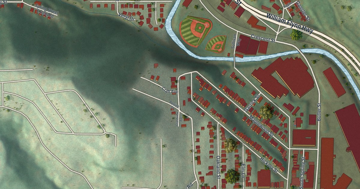
If you grew up on Butler Street or still have family on Etna's hillside streets, this map is for you. It's a new aerial view of Etna in Allegheny County, Pennsylvania, made from modern data and given a vintage look. A blue creek winds down through the middle of town to a wide river at the bottom. Rows of red homes climb the green hills on both sides. Long red buildings line the creek near the river.
How Stewartstown Became the Borough of Etna
On this map you'll find Butler Street, William Flynn Highway, Freeport Street, Railroad Street, Grant Avenue, Locust Street, Spring Street, Kittanning Street, Isabella Street, Church Street, School Street, High Street, Walnut Street, Mount Hope Street, and more. Each red shape is a building, so zoom in on the preview and look for yours.
Etna had another name first. The 1889 History of Allegheny County says Gen. Wilkins once owned a large tract at the mouth of Pine Creek. His big frame house was the first house in what became the town. David Anderson bought the land from him. He laid it out in streets and lots. The place was first called Stewartstown, after David Stewart. He was an active citizen and one of the first to settle after Wilkins. Etna became a borough on September 16, 1868. On the map, find the spot where the blue creek meets the wide river. That's where the story starts.
The Spang Iron Works at Etna
Work made the town grow. People started making scythes and sickles here in 1820. In 1828, H. S. Spang bought that small shop. He turned it into a mill for rolling bar iron, with fifty men at work. The firm later became Spang, Chalfant & Co. Its steel furnaces started up in August 1882. The same history says the company used some natural gas at Etna in 1875 and 1876. That was years before gas came into wide use as fuel in 1884. The book also lists the Isabella furnaces, built in 1872. You'll find an Isabella Street on the map today.
Butler Street, Isabella Street and the Etna Hills
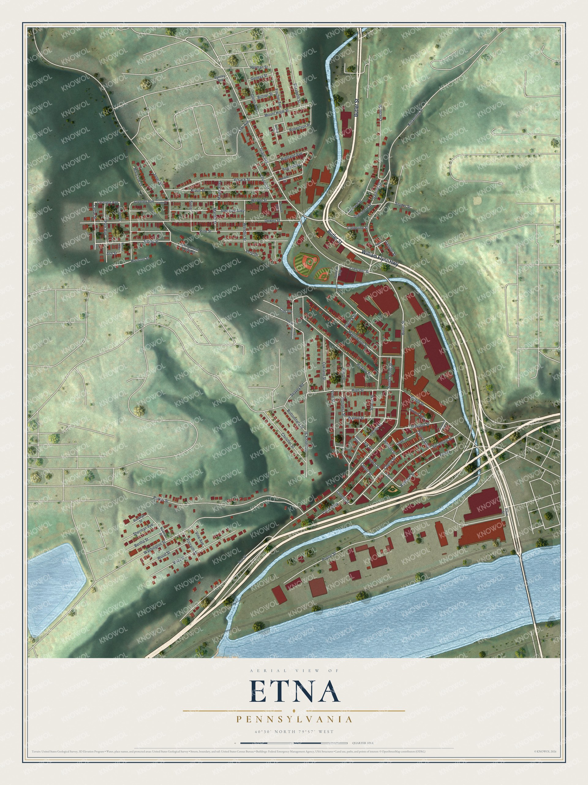
Created by KNOWOL in 2026, this print shows Etna from above in soft greens, with shaded hills, a blue creek and river, and red buildings on a cream page. The title panel reads "Aerial View of Etna, Pennsylvania" with 40°30' North 79°57' West below it.
It fits a living room, a kitchen or a home office in any house with Etna roots. It makes a good gift for someone who grew up near Butler Street and moved away, or for a family whose people worked in Etna's mills. Open the preview and find your street. See sizes and frames for the Etna map.