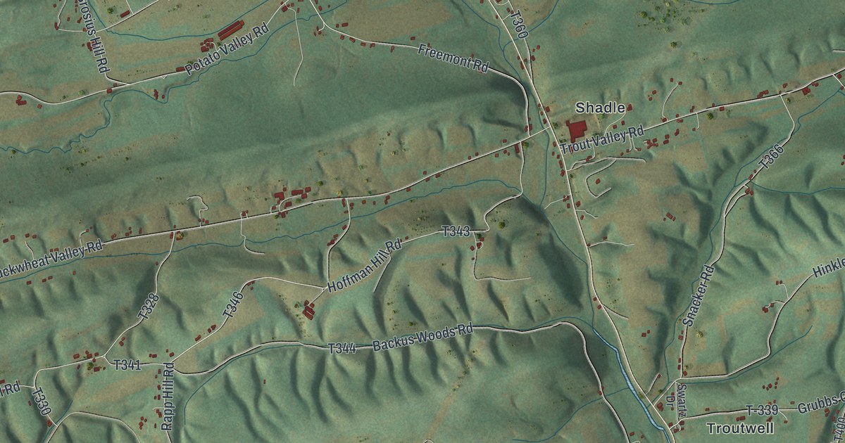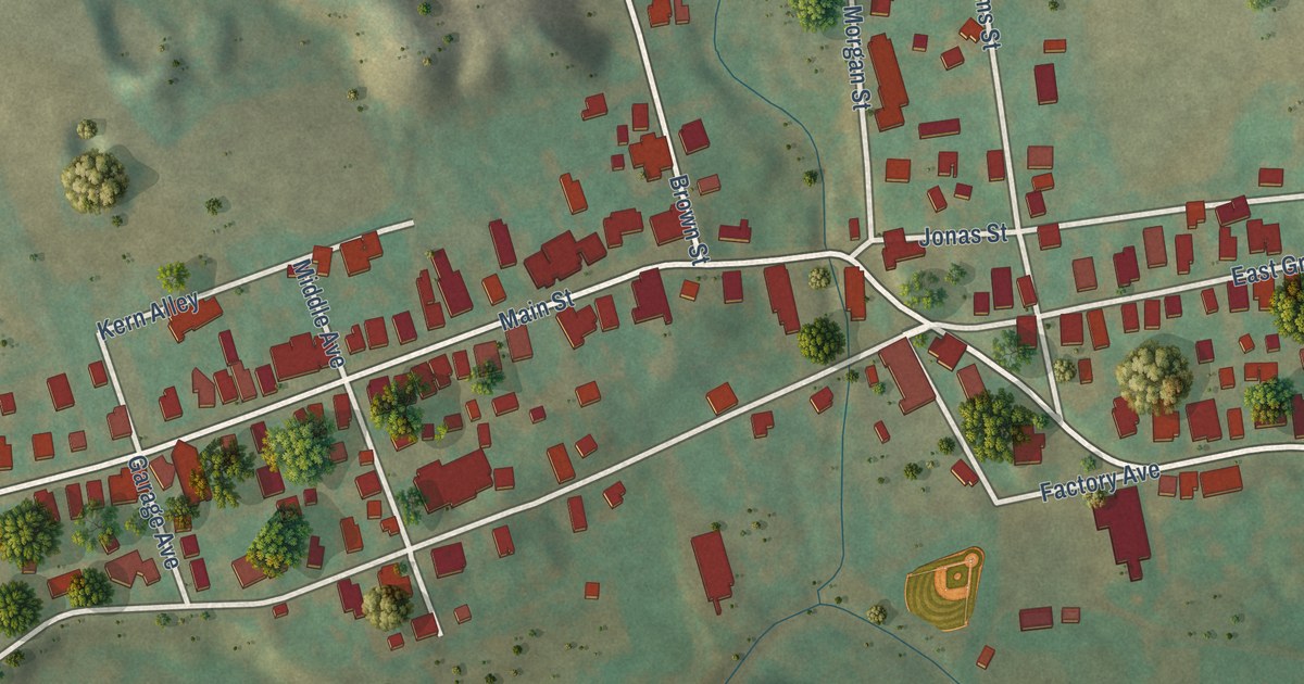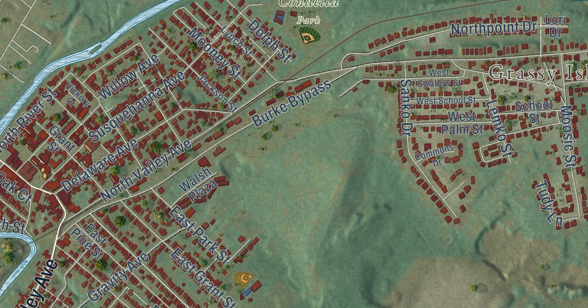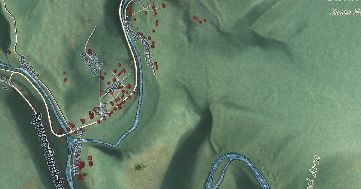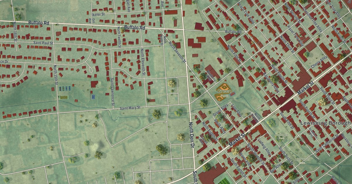
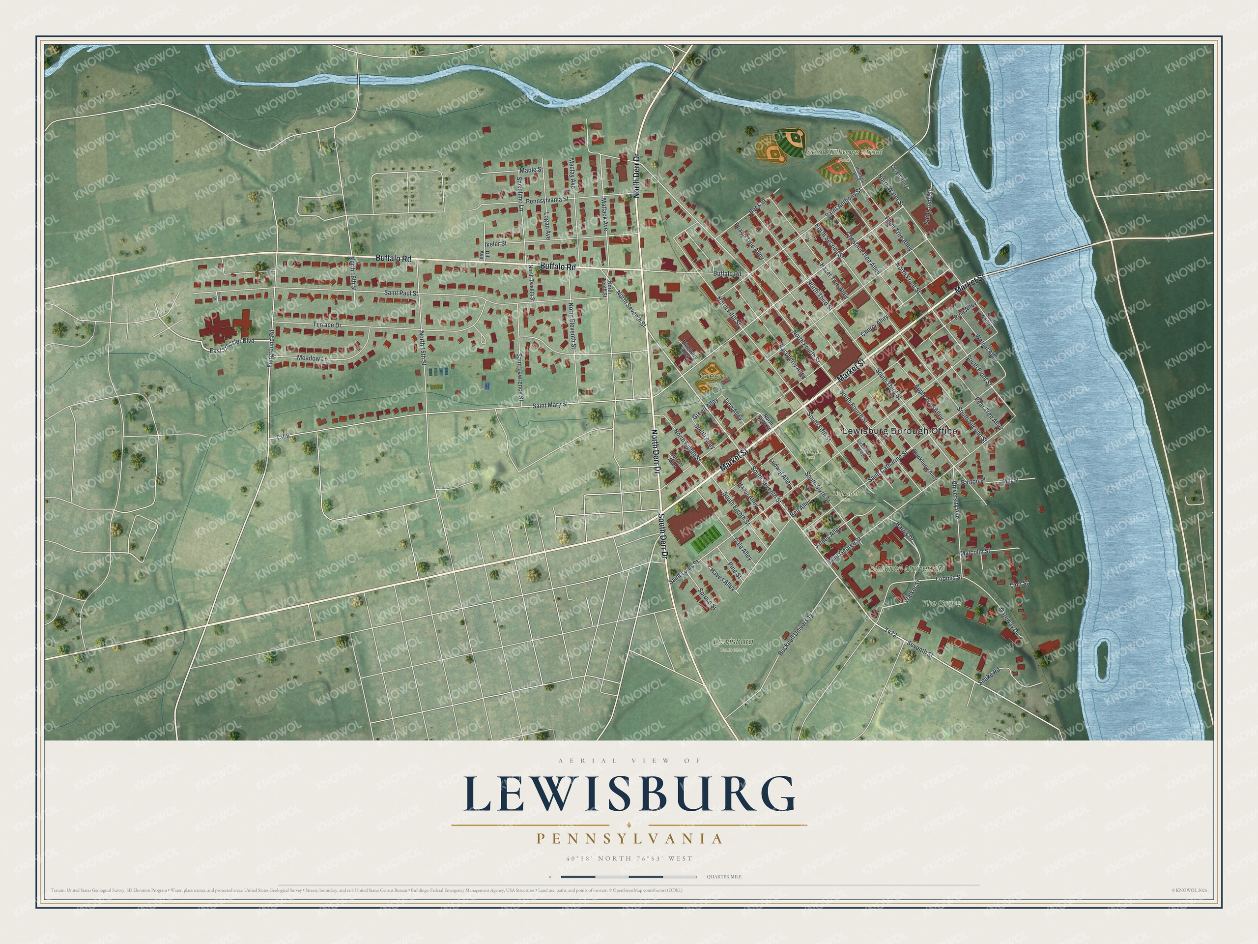
This beautifully detailed map of Lewisburg, Pennsylvania was created in 2026 using aerial imagery combined with modern topographical, census, street and landmark data. It’s a one-of-a-kind view of Lewisburg that combines accurate data with a vintage aesthetic. The map shows every building in its true location, many of the roads carry their names, and the shaded topographic relief shows the shape of the land.
Explore an aerial view of Lewisburg, Pennsylvania
On the map you’ll find Lewisburg Borough Office, Bucknell University, Lewisburg Cemetery, Saint Anthonys Street Park, The Grove, Green Park, Hufnagel Park, and Hufnagle Park, along with Market Street, North Derr Drive, Buffalo Road, South Derr Drive, and more. If you look closely you can even find your house accurately drawn in its correct location. Zoom in on the preview to look for yours.
Did you know this piece of Lewisburg, Pennsylvania history?
Ludwig Derr settled in the area in the 1760s and befriended the local Native Americans. While other settlers’ farms were often raided, his lands were never attacked. In 1784 he and Samuel Weiser laid out a town called Derrstown. It was later renamed Lewisburgh, a name shortened to Lewisburg in 1893.
Take a closer look at the Lewisburg map
Street and place names on the Lewisburg, Pennsylvania map
These names are printed on the map of Lewisburg, Pennsylvania.
Places: Lewisburg Borough Office, Bucknell University, Lewisburg Cemetery, Saint Anthonys Street Park, The Grove, Green Park, Hufnagel Park and Hufnagle Park.
Streets and roads: Market Street, North Derr Drive, Buffalo Road, South Derr Drive, East Tressler Boulevard, South Seventh Street, Seventh Street, North Seventh Street, Loomis Street, North Fourth Street, South Third Street, South Front Street.
More street names, A to Z
Apple Tree Alley, Barton Place, Beck Street, Bell Alley, Blackberry Alley, Blueberry Alley, Breeze Drive, Cherry Alley, Chestnut Tree Alley, Currant Alley, Dale Alley, Dill Avenue, Fairground Road, Gateway Drive, Green Alley, Harris Drive, Hawn Alley, Hayes Alley, Hazel Tree Alley, Hufnagle Boulevard, Ikeler Street, James Alley, Linn Alley, Linn Street, Logan Avenue, Ludwig Alley, Maclay Avenue, Malcolm Street, Maple Street, Matlack Avenue, Meadow Lane, Mill Street, North 15th Street, North 16th Street, North Eighth Street, North Eleventh Street, North Fifth Street, North Front Street, North Second Street, North Sixth Street, North Tenth Street, North Third Street, North Twelfth Street, North Water Street, Ogren Alley, Peach Tree Alley, Pear Tree Alley, Pennsylvania Street, Pine Alley, Pine Street, Plum Tree Alley, Raspberry Alley, Saint Anthony Street, Saint Catharine Street, Saint George Street, Saint John Street, Saint Lawrence Street, Saint Louis Street, Saint Mary Street, Saint Paul Street, Shikelimo Lane, Smith Alley, Snake Road, South Eighth Street, South Fifth Street, South Fourth Street, South Second Street, South Sixth Street, South Water Street, Spruce Street, Strawberry Alley, Terrace Drive, University Avenue, Walker Street, Walnut Alley.
See the Lewisburg, Pennsylvania map on a wall
The Lewisburg map as an 18 x 24 inch print in a black frame.

This beautifully detailed map of Lewisburg makes an attractive addition to your office, library, or den, and it can even be used to teach children the geography and history of the area. It also makes a great gift for anyone who grew up in Lewisburg or moved away. When you’re done exploring, click here to get your copy of the Lewisburg map.