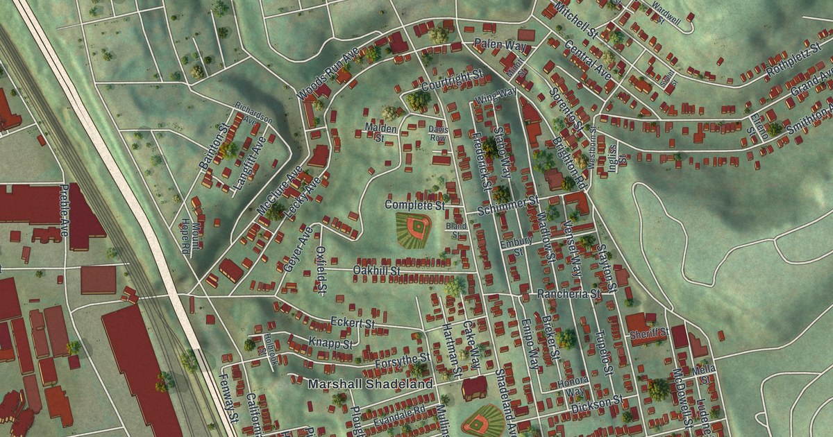
If you grew up on Marshall Avenue, or you still have family near Woods Run, this print was made with you in mind. It's a modern aerial view of Marshall-Shadeland in Allegheny County, Pennsylvania, built from modern data and given a vintage look. You'll see the tight blocks of red homes on the hill, the green slopes around Highwood Cemetery, and a wide blue river along the left side with a bridge reaching across it.
Marshall Avenue, Brighton Road and Woods Run
On this map you'll find Marshall Avenue, Brighton Road, California Avenue, Woods Run Avenue, Shadeland Avenue, Highwood Cemetery, Woods Run, Preble Avenue, Eckert Street, Superior Avenue, Grand Avenue, Woodland Avenue, Hodgkiss Street, McClure Avenue, and more. Each red shape is a building, so zoom in on the preview and look for yours.
Most of the homes sit close together on one rounded hill in the middle of the sheet. Green, shaded slopes rise all around them. Down on the flat ground by the river, bigger red buildings line up beside the rail tracks. Near the bottom, a ball field with a red running track sits just off Marshall Avenue.
The McKees Rocks Bridge on the National Register
Now look near the top left corner. A thin bridge crosses the river there, and its label reads Mc Kees Rocks Bridge. The McKees Rocks Bridge carries a road over the Ohio River. It was added to the National Register of Historic Places in November 1988. Below it, a long green island splits the river in two.
Highwood Cemetery and the Hill Above the River
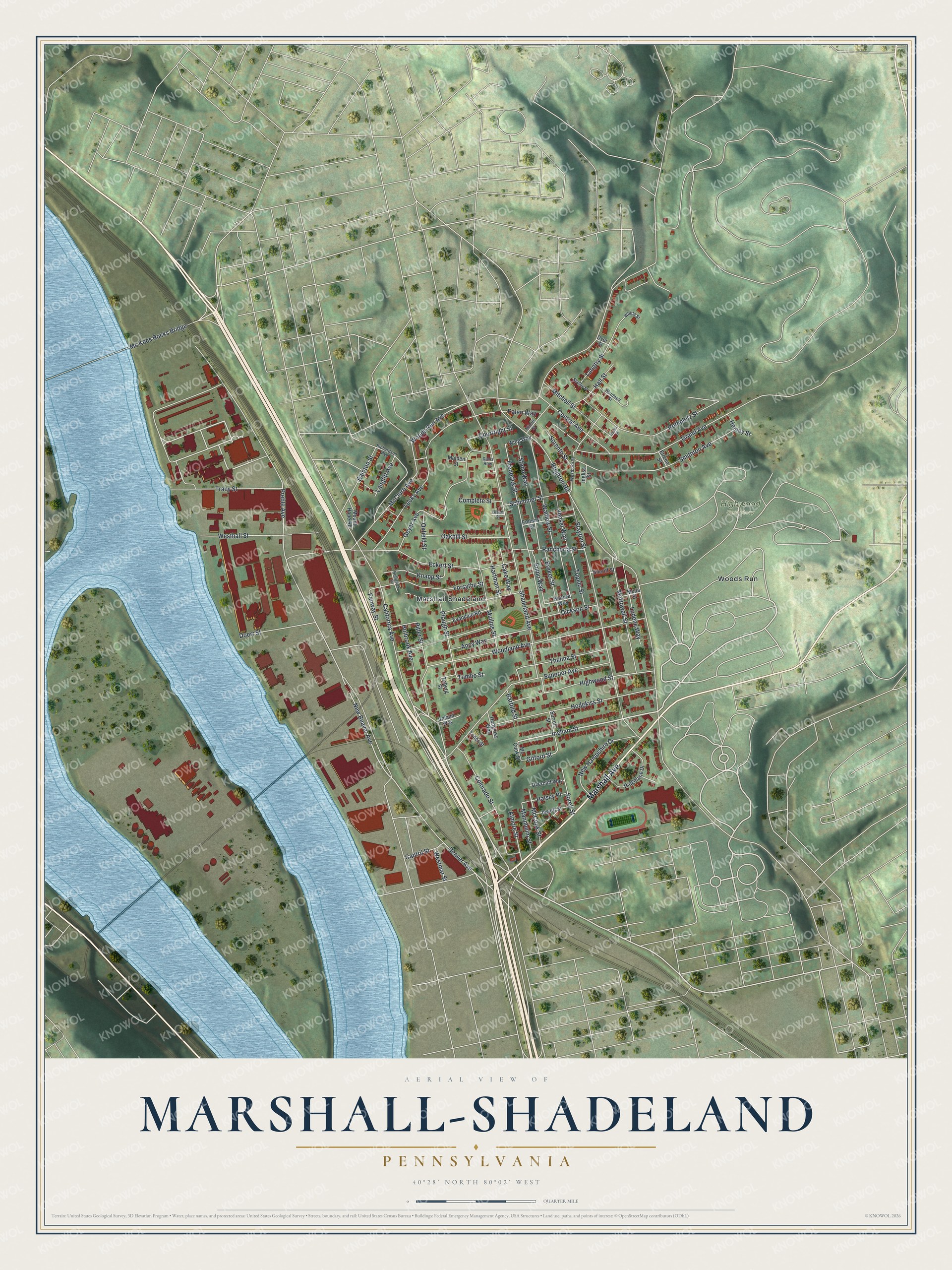
Created by KNOWOL in 2026, the print shows green, shaded hills, red buildings and a blue river, with a cream title panel along the bottom. The panel reads Aerial View of Marshall-Shadeland, Pennsylvania, and gives the spot as 40°28' North 80°02' West.
It fits a living room, a front hall or a home office. It's a good gift for someone who grew up near Highwood Cemetery or on Marshall Avenue and has since moved away. Open the preview and find your street. See sizes and frames for the Marshall-Shadeland map.