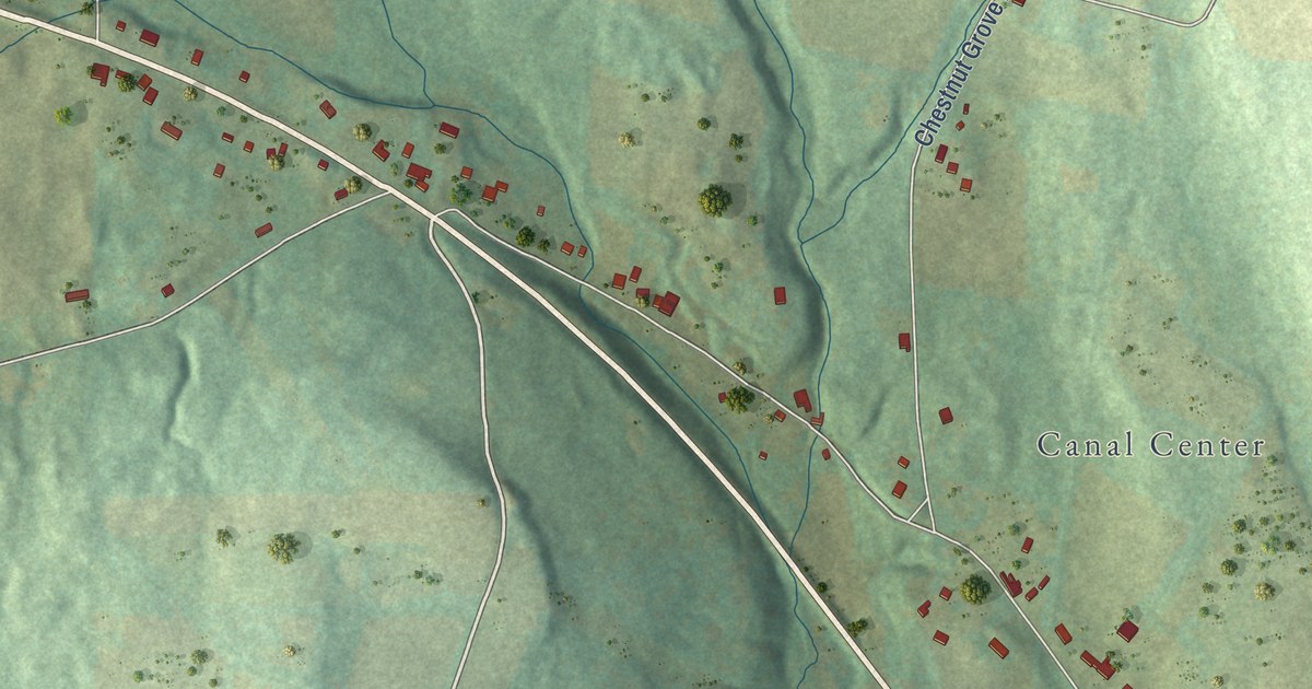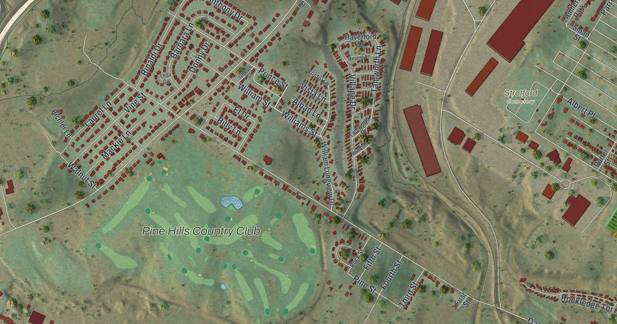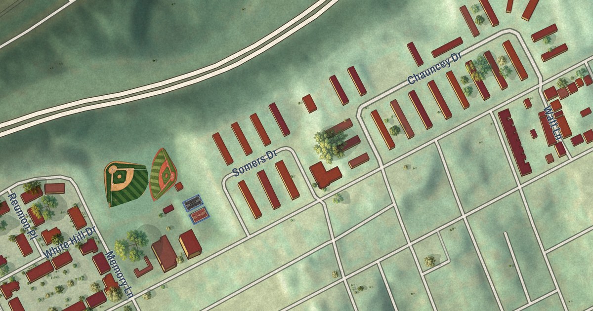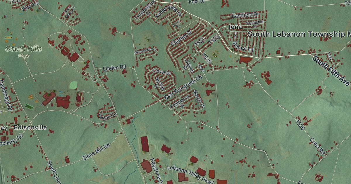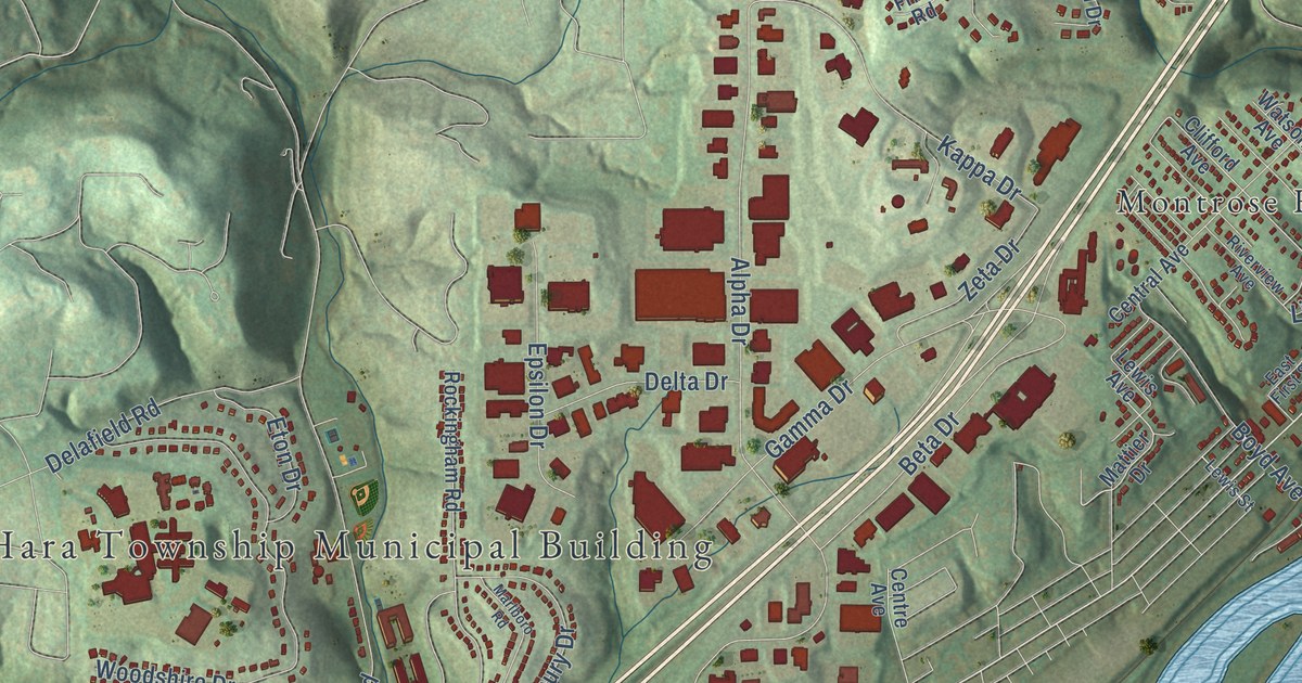
This beautifully detailed map of O’Hara, Pennsylvania was created in 2026 using aerial imagery combined with modern topographical, census, street and landmark data. It’s a one-of-a-kind view of O’Hara that combines accurate data with a vintage aesthetic. The map shows every building in its true location, many of the roads carry their names, and the shaded topographic relief shows the shape of the land.
Explore an aerial view of O’Hara, Pennsylvania
On the map you’ll find O’Hara Township Municipal Building, Park View, Camp Guyasuta, Greenwood Cemetery, Fairview Heights, Montrose Hill, and Sharpe Hill, along with Freeport Road, Sharps Hill Road, Midway Drive, Linwood Avenue, Grove Street, and more. If you look closely you can even find your house accurately drawn in its correct location. Zoom in on the preview to look for yours.
Did you know this piece of O’Hara, Pennsylvania history?
From the Allegheny County PAGenWeb: "Col. James O’Hara, from whom the township is named, was the pioneer glass manufacturer of Western Pennsylvania."
Take a closer look at the O’Hara map
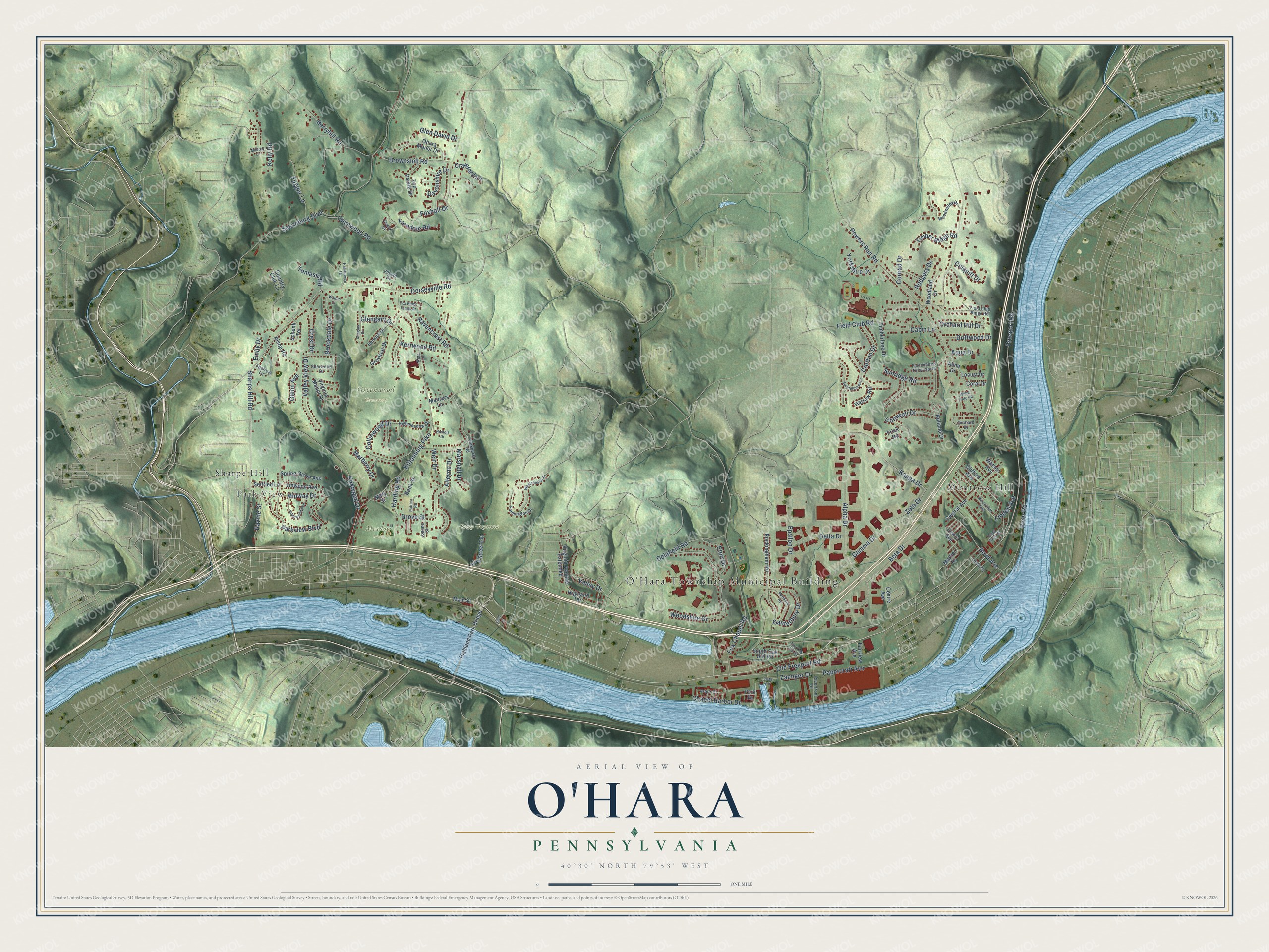
Street and place names on the O’Hara, Pennsylvania map
These names are printed on the map of O’Hara, Pennsylvania.
Places: O'Hara Township Municipal Building, Park View, Camp Guyasuta, Greenwood Cemetery, Meadow Park, Montrose Hill and Sharpe Hill.
Streets and roads: Freeport Road, Sharps Hill Road, Midway Drive, Grove Street, Dorseyville Road, Powers Run Road, Kittanning Pike, Alpha Drive, Saxonburg Boulevard, Field Club Road, Kirkwood Drive, Fox Chapel Road.
More street names, A to Z
23rd Street Extension, Alleyne Drive, Alma Drive, Alsop Road, Aqua Drive, Arbor Court, Bank Street, Berryhill Road, Berwick Drive, Beta Drive, Boyd Avenue, Brookdale Drive, Brownshill Road, Cabin Lane, Calmwood Road, Canterbury Drive, Central Avenue, Centre Avenue, Chapel Harbor Drive, Clifford Avenue, Collinwood Drive, Colquitt Drive, Conrad Drive, Coral Drive, Cornwall Drive, Country Club Lane, Crawford Lane, Crest Drive, Crofton Drive, Davonshire Drive, Delafield Road, Delta Drive, Douglas Drive, Driftwood Drive, East First Street, East Oak Hill Road, Edgewood Avenue, Emily Drive, Epsilon Drive, Essex Court, Eton Drive, Fairhaven Drive, Fairview Avenue, Falconhurst Drive North, Farmington Drive, Farndale Road, Field Club Ridge Road, Field Street, Foxhall Drive, Fox Pointe Drive, Fox Ridge Farms Drive, Frick Road, Fugger Lane, Gamma Drive, Glen David Drive, Glengary Drive, Glenn Avenue, Greyfriar Drive, Harding Road, Harrow Road, Highland Park Bridge, Highland Terrace, Highmeadow Drive, Holland Drive, Joanne Street, Kappa Drive, Kelly Road, Kerr Lane, Kerrwood Road, Lewis Avenue, Lewis Street, Linden Avenue, Linwood Avenue, Locust Drive, Main Street, Marberry Drive, Marlboro Road, Marshall Drive, Mary Street, Mattier Drive, Maurers Lane, Mildred Lane, Nichols Drive, Oakhurst Road, Ohara Manor Drive, Old Freeport Road, Orchard Drive, Orchard Hill Drive, Papercraft Avenue, Park Square, Parkview Boulevard, Patrica Road, Ravencrest Road, Ravine Street, Riverfront Drive, River Road, Riverview Avenue, Rockingham Road, Rodgers Drive, Schenk Terrace, Seifried Lane, Sherwood Drive, South Oak Hill Road, Sparrow Lane, Spring Grove Avenue, Springhouse Lane, Sunridge Road, Timberlane Drive, Timber Ridge Road, Tomasic Road, Valley Drive, Valley View Drive, Village Drive, Virginia Avenue Extended, Virginia Manor Drive, Vista Circle, Walton Court, Watson Avenue, Weir Drive, Westchester Drive, White Gate Road, Woodland Drive, Woodshire Drive, Woodvalley Drive, Yorkshire Drive, Zaenger Drive, Zeta Drive.
See the O’Hara, Pennsylvania map on a wall
The O'Hara map as an 18 x 24 inch print in a black frame.

This beautifully detailed map of O’Hara makes an attractive addition to your office, library, or den, and it can even be used to teach children the geography and history of the area. It also makes a great gift for anyone with O’Hara roots. When you’re done exploring, click here to get your copy of the O’Hara map.