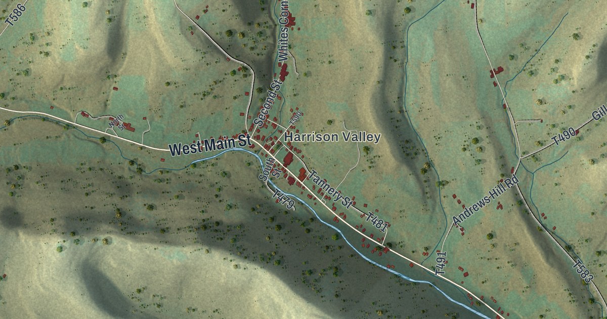
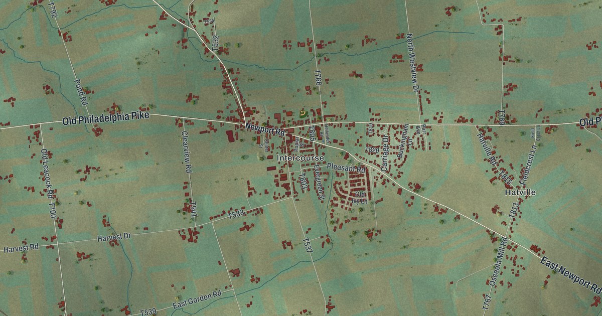
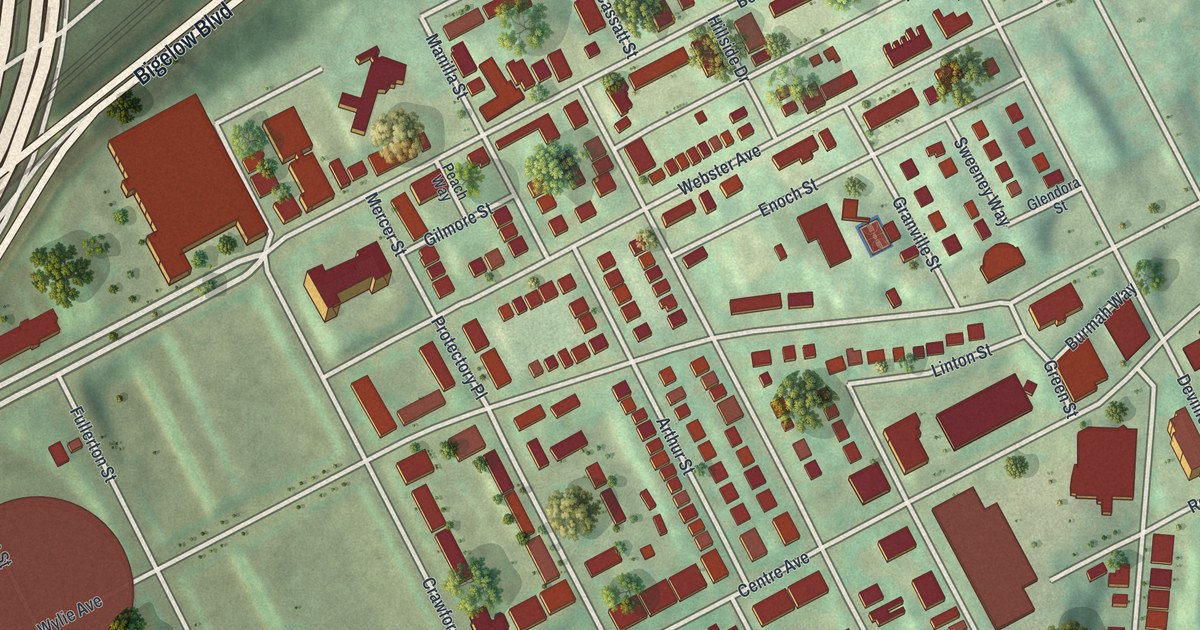
If you grew up near Perrysville Avenue, this print gives you familiar streets to find. It's a modern aerial view of Perry North in Allegheny County, Pennsylvania, made with modern data and a vintage feel. Red buildings line the winding streets, with green hills and Riverview Park beside them.
Riverview Park and the Allegheny Observatory
On this map you'll find Perrysville Avenue, Riverview Park, Vinceton Parklet, East Street, Evergreen Road, Riverview Avenue, Baytree Street, Waldorf Street, Bonvue Street, Mairdale Avenue, Woods Run Avenue, and more. Each red shape is a building, so zoom in on the preview and look for yours.
Riverview Park holds a piece of Pittsburgh's long history of science. The Allegheny Observatory's state marker says it was chartered in 1860. It's been at its present site since 1912 and is part of the University of Pittsburgh. The marker stands on Riverview Avenue in the park, near the observatory. You can find both the avenue and the park's name on this print.
Keep Perrysville Avenue Close
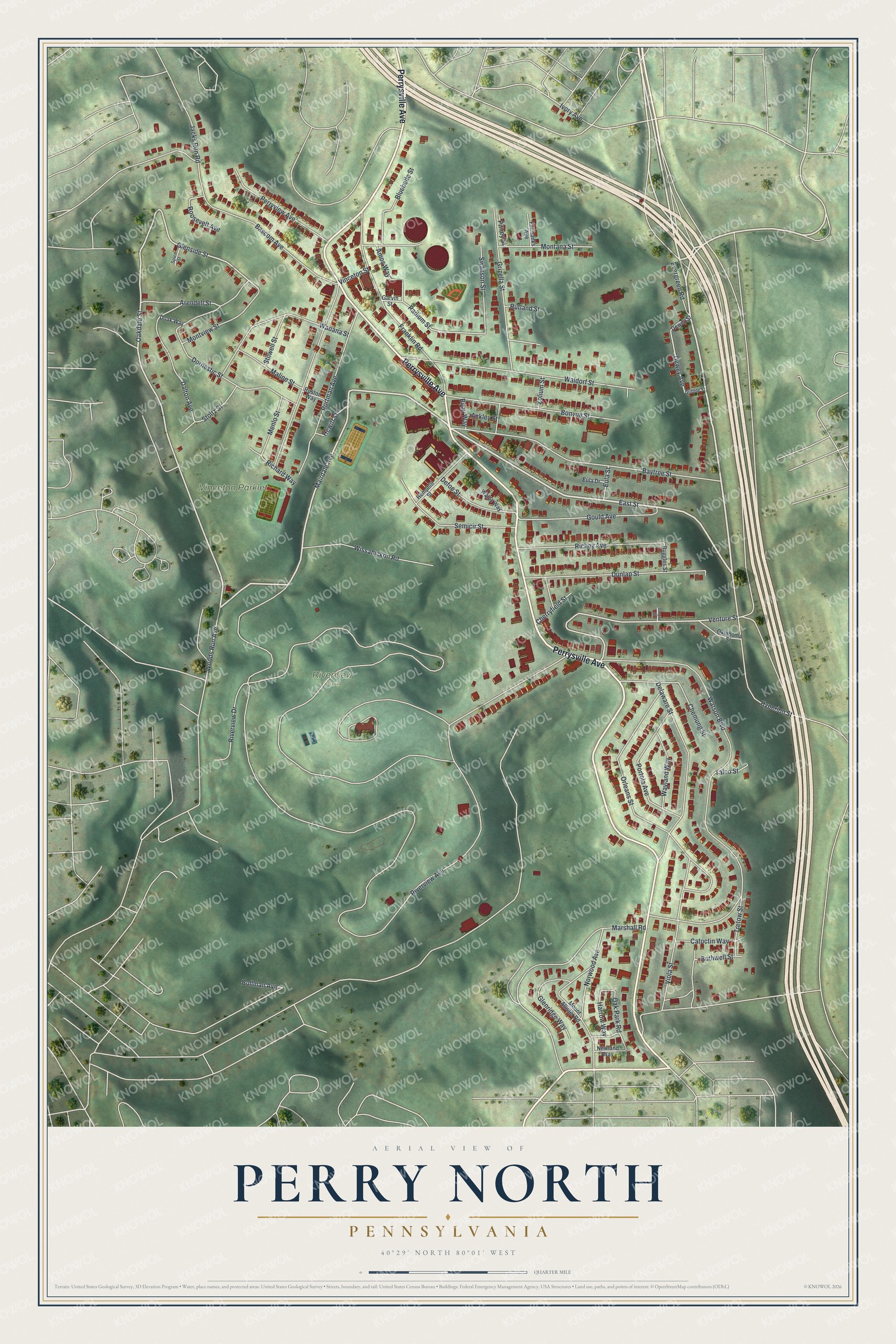
Created by KNOWOL in 2026, the print pairs soft green hills with red buildings and pale roads. A cream border surrounds the view. The title panel reads AERIAL VIEW OF, PERRY NORTH, PENNSYLVANIA, with 40°29' NORTH 80°01' WEST below.
Hang it in a living room, home office or entryway. It's a thoughtful gift for someone who grew up near Riverview Park and moved away. Open the preview to look for their street and the blocks around it. See sizes and frames for the Perry North map.