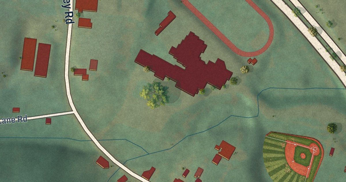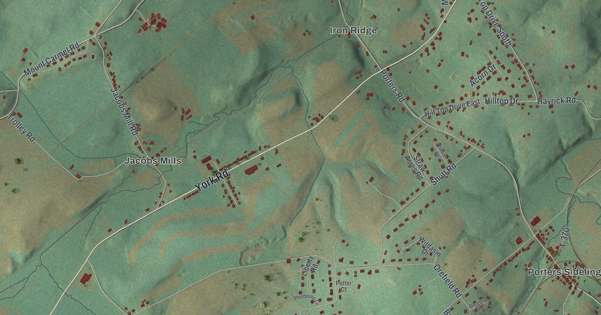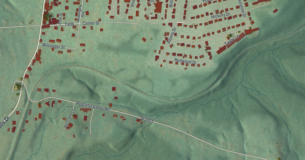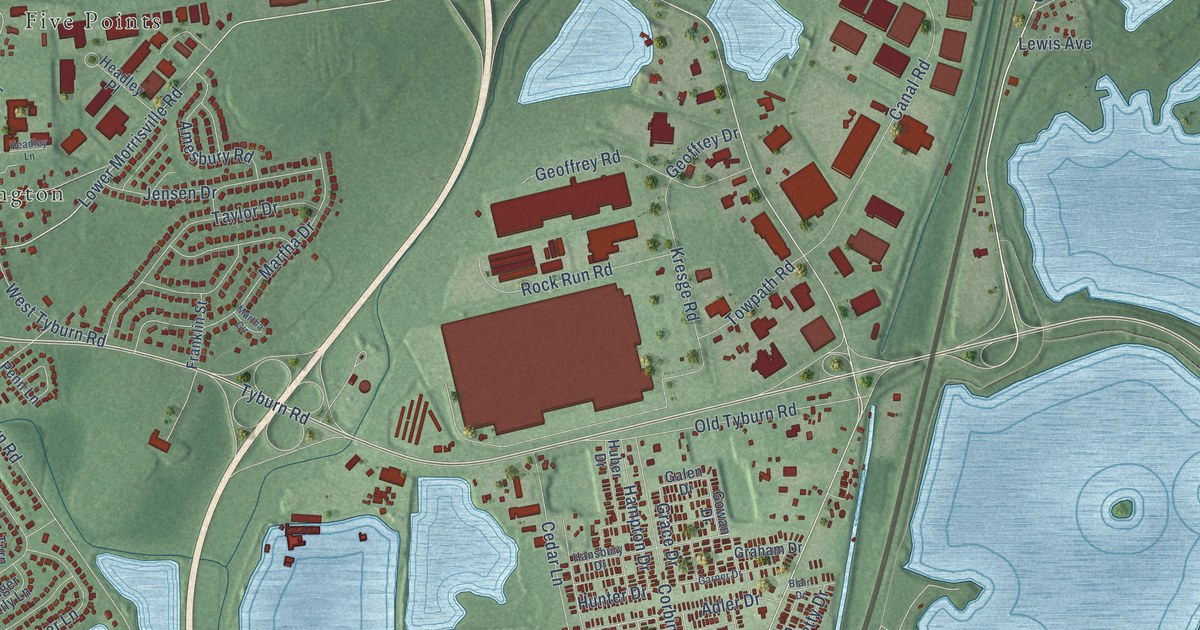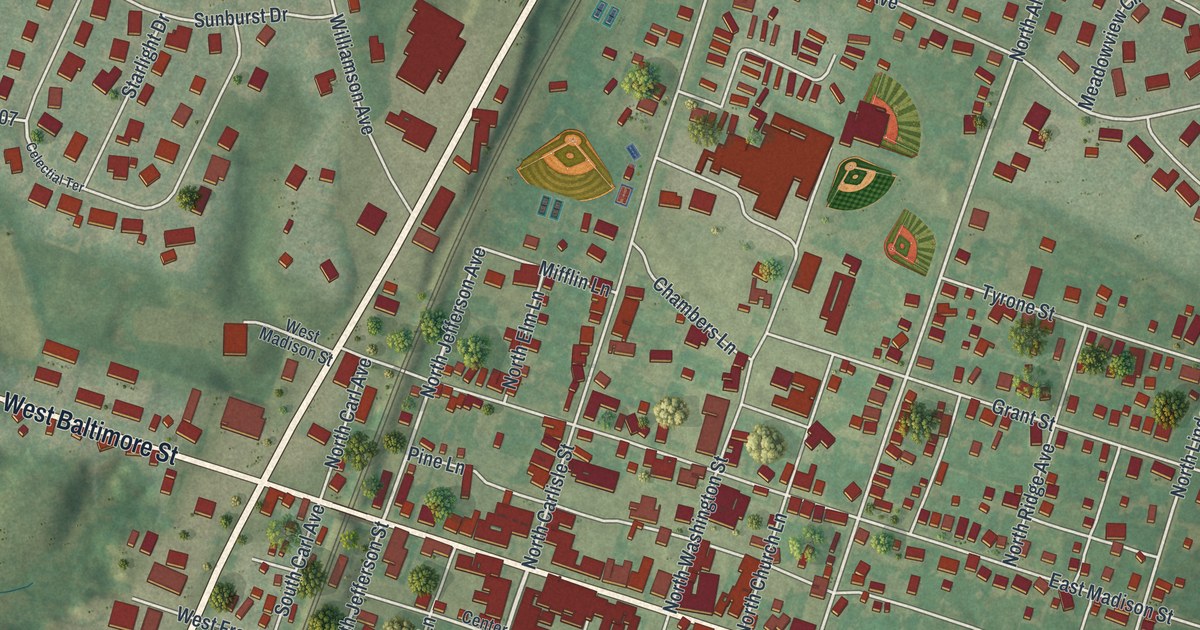
This beautifully detailed map of Greencastle, Pennsylvania was created in 2026 using aerial imagery combined with modern topographical, census, street and landmark data. It’s a one-of-a-kind view of Greencastle that combines accurate data with a vintage aesthetic. The map shows every building in its true location, many of the roads carry their names, and the shaded topographic relief shows the shape of the land.
Explore an aerial view of Greencastle, Pennsylvania
On the map you’ll find North Antrim Way, South Antrim Way, Molly Pitcher Highway, West Baltimore Street, East Baltimore Street, Buchanan Trail East, Williamsport Pike, South Carlisle Street, South Jefferson Street, North Jefferson Avenue, West Dahlgren Street, North Allison Street, and more. If you look closely you can even find your house accurately drawn in its correct location. Zoom in on the preview to look for yours.
Did you know this piece of Greencastle, Pennsylvania history?
John Allison founded Greencastle in 1783 and named it after a town of the same name in County Antrim, Northern Ireland. His first town plan held 246 lots. By 1790 the new town had about 60 houses and roughly 400 people.
Take a closer look at the Greencastle map
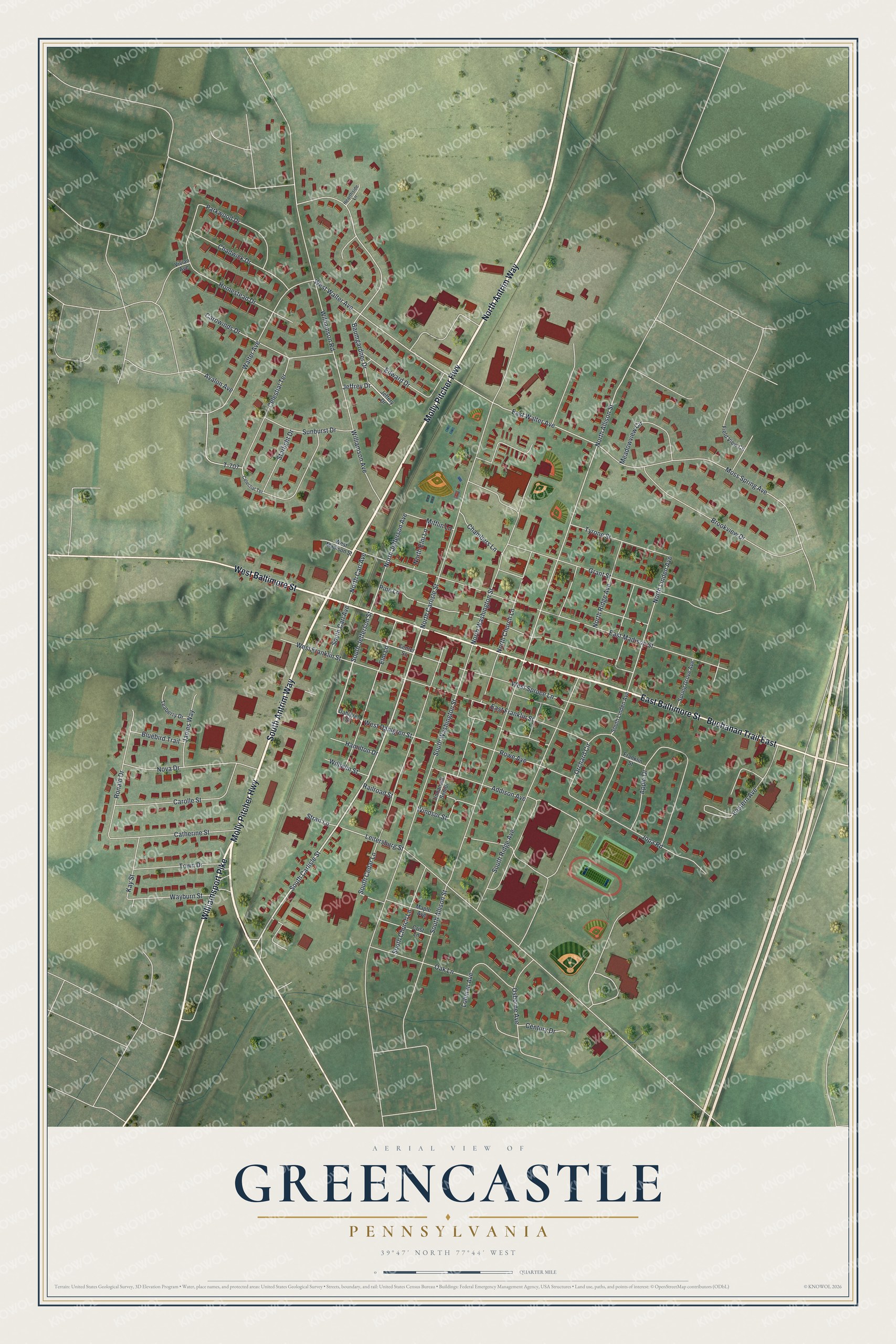
Street names on the Greencastle, Pennsylvania map
These names are printed on the map of Greencastle, Pennsylvania.
Streets and roads: North Antrim Way, South Antrim Way, Molly Pitcher Highway, West Baltimore Street, East Baltimore Street, Buchanan Trail East, Williamsport Pike, South Carlisle Street, South Jefferson Street, North Jefferson Avenue, West Dahlgren Street, North Allison Street.
More street names, A to Z
Addison Avenue, Apple Drive, Avalon Avenue, Baumgardner Drive, Bluebird Trail, Brookview Drive, Carolle Street, Carowinds Drive, Catherine Street, Celectial Terrace, Celestial Terrace, Center Square, Century Drive, Chadwick Drive, Chambers Lane, Crist Lane, Dahlgren Street, Eastern Avenue, East Franklin Street, East Madison Street, East Walter Avenue, Edward Drive, Elm Lane, Field View Circle, Franklin Street, Grant Street, Hamilton Drive, Hearthside Lane, Homestead Drive, James Way, Jeffery Drive, Jeffrey Drive, Jopa Road, Kay Street, Leitersburg Street, Lohman Avenue, Maple Avenue, Meadowview Circle, Mifflin Lane, Moss Spring Avenue, North Carl Avenue, North Carlisle Street, North Church Lane, North Elm Lane, North Linden Avenue, North Ridge Avenue, North Washington Street, Nova Drive, Oak Lane, Orchard Circle, Osborne Avenue, Parkwood Drive, Pine Lane, Railroad Street, Ronald Drive, Rowe Avenue, South Allison Street, South Carl Avenue, South Cedar Lane, South Church Lane, South Linden Avenue, South Ridge Avenue, South Washington Street, Spring Grove Avenue, Starlight Drive, Strait Lane, Sunburst Drive, T-707, Teaberry Drive, Town Drive, Tyrone Street, Unnamed Senior, Vivian Avenue, Walter Avenue, Wayburn Street, West Franklin Street, West Madison Street, West Spruce Lane, West Walter Avenue, Wilhelm Street, Williamson Avenue, Williamson Road, Windsor Street.
See the Greencastle, Pennsylvania map on a wall
The Greencastle map as an 18 x 24 inch print in a black frame.

This beautifully detailed map of Greencastle makes an attractive addition to your office, library, or den, and it can even be used to teach children the geography and history of the area. It also makes a great gift for anyone with Greencastle roots. When you’re done exploring, click here to get your copy of the Greencastle map.