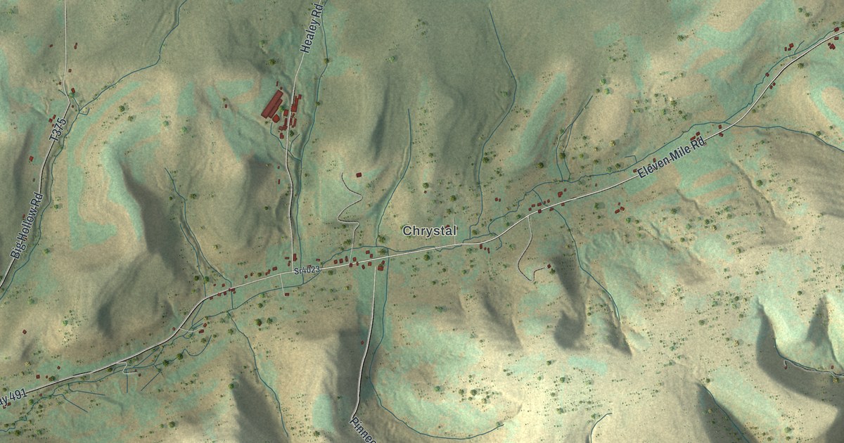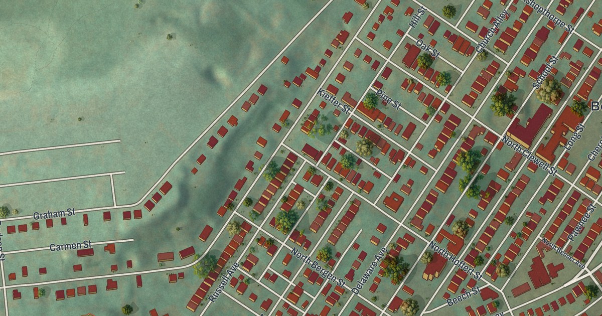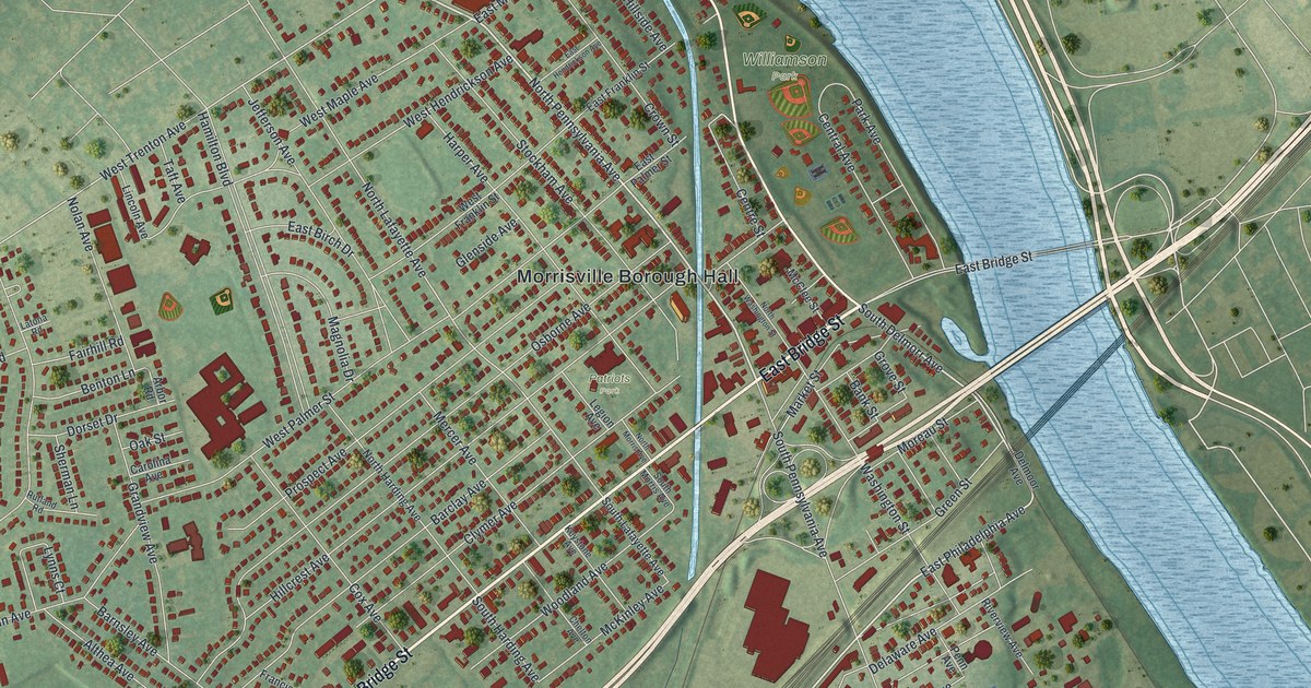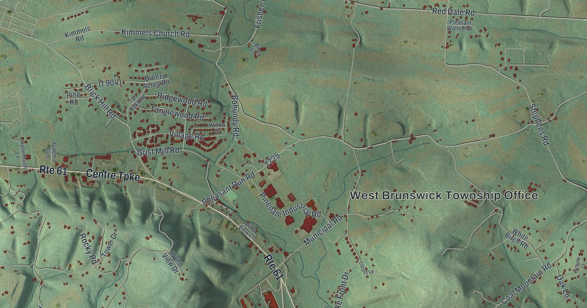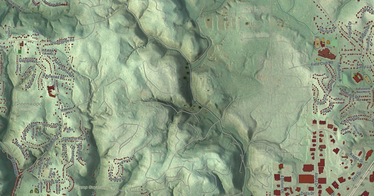
If you grew up in O'Hara, these hilltop streets may bring home close again. It's a modern aerial view of O'Hara in Allegheny County, Pennsylvania, made with modern data and a vintage feel. Green hills rise above a broad blue river. Red buildings trace the streets around Park View, Fairview Heights and Montrose Hill.
Field Club Road and General Ridgway
On this map you'll find Freeport Road, Field Club Road, Fox Chapel Road, Powers Run Road, Dorseyville Road, Kittanning Pike, Camp Guyasuta, Park View, Greenwood, Fairview Heights, Montrose Hill, and more. Each red shape is a building, so zoom in on the preview and look for yours.
Field Club Road also gives you a place to connect with local history. The General Ridgway historical marker places the Ridgway International Peace Shrine at 611 Field Club Road. The shrine was dedicated there in 1989. Matthew B. Ridgway had led the 82nd Airborne Division during World War II. He later led United Nations forces in Korea and served as Army Chief of Staff. The marker also records his work closer to home: he chaired Mellon Institute from 1955 to 1960.
Keep O'Hara's Hills Close

Created by KNOWOL in 2026, the print pairs shaded green hills with blue water and small red building shapes. A cream border surrounds the view. The title panel reads AERIAL VIEW OF, O'HARA, PENNSYLVANIA, and 40°30' NORTH 79°53' WEST.
Hang it in a living room, home office or entryway. It's a gift for family who moved away from Park View or still call O'Hara home. Open the preview and take a closer look at the streets you know. See sizes and frames for the O’Hara map.