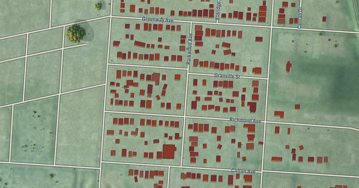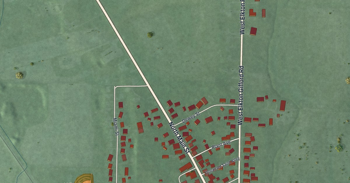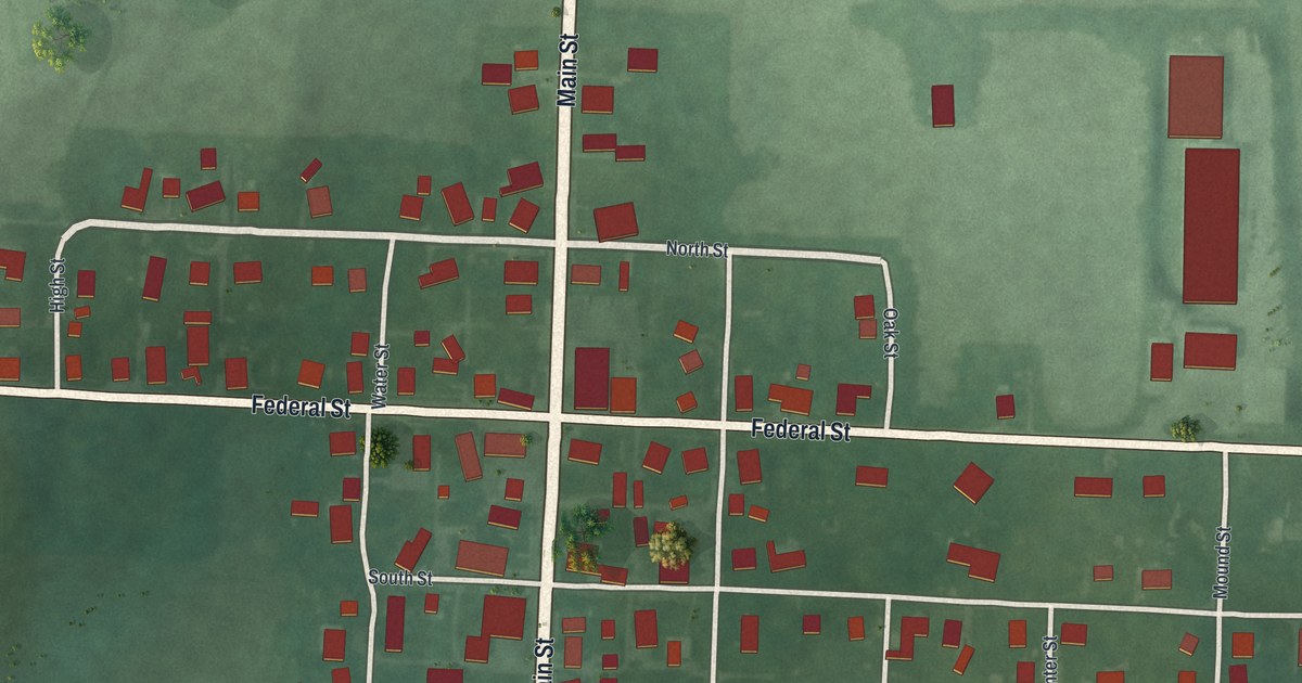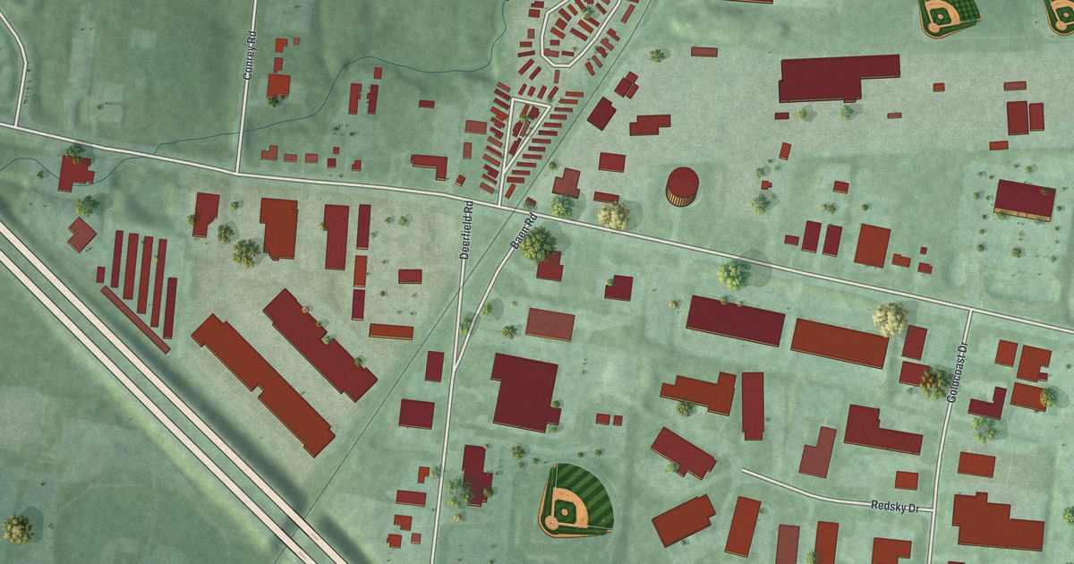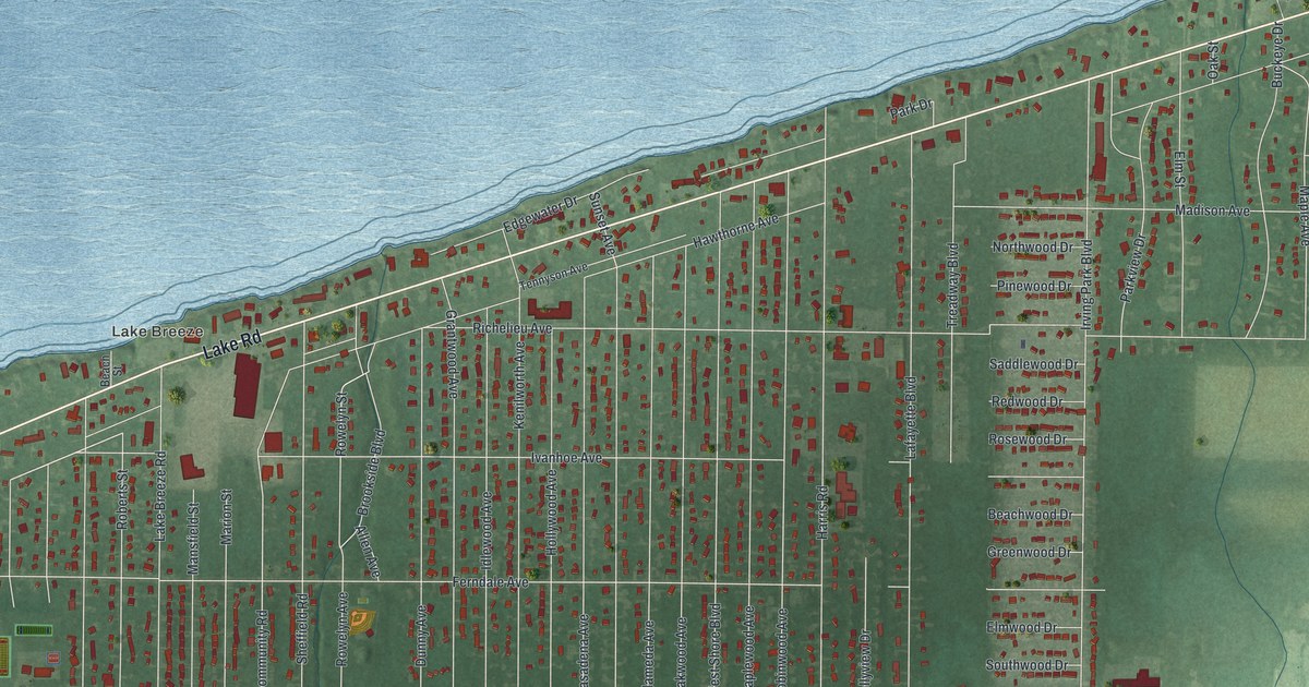
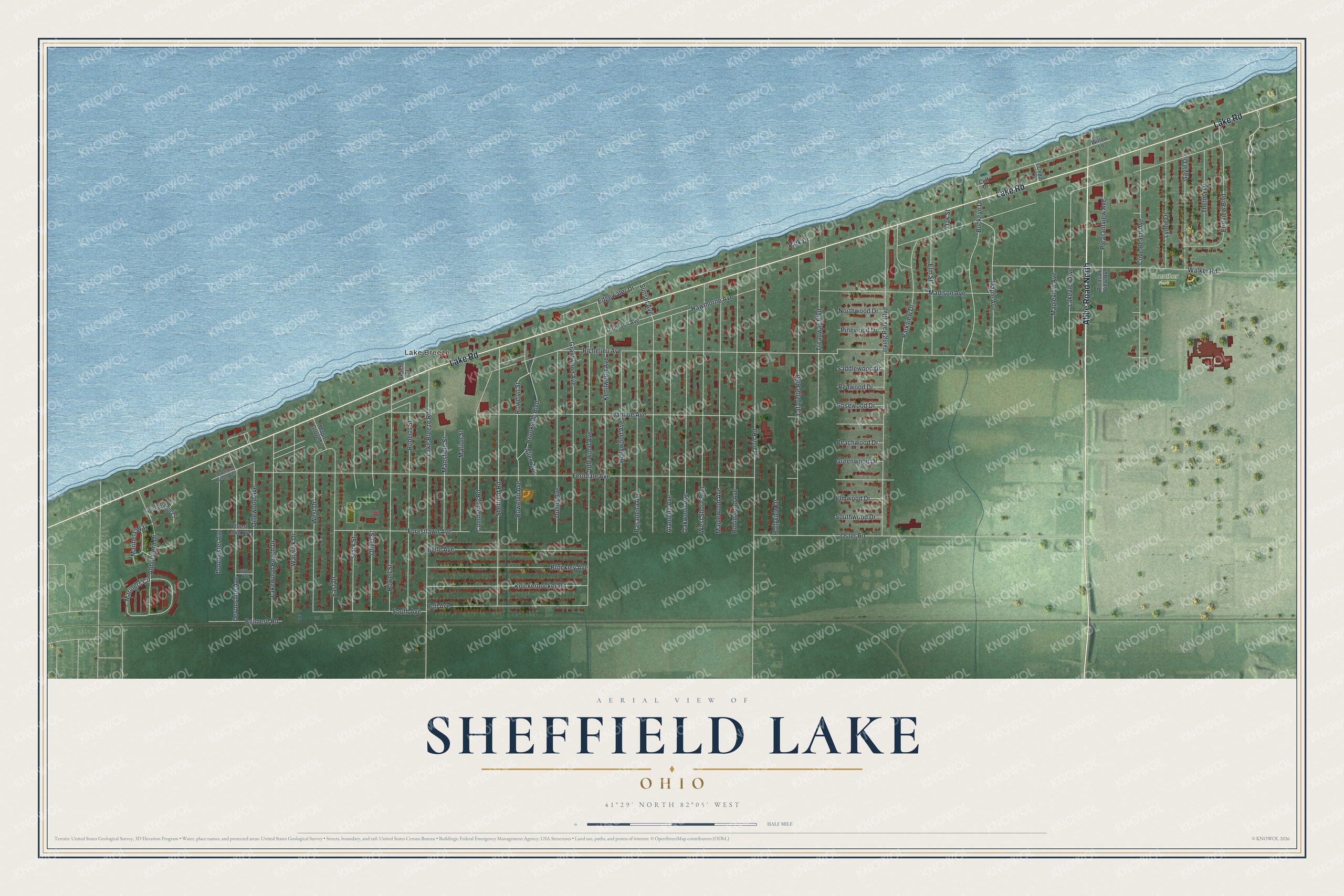
This beautifully detailed map of Sheffield Lake, Ohio was created in 2026 using aerial imagery combined with modern topographical, census, street and landmark data. It’s a one-of-a-kind view of Sheffield Lake that combines accurate data with a vintage aesthetic. The map shows every building in its true location, many of the roads carry their names, and the shaded topographic relief shows the shape of the land.
Explore an aerial view of Sheffield Lake, Ohio
On the map you’ll find Lake Breeze and Guenther Park, along with Abbe Road North, Lake Road, Hawthorne Avenue, Maple Avenue, Community Road, Ferndale Avenue, Richelieu Avenue, Ivanhoe Avenue, Irving Park Boulevard, Harris Road, and more. If you look closely you can even find your house accurately drawn in its correct location. Zoom in on the preview to look for yours.
Did you know this piece of Sheffield Lake, Ohio history?
Settlers chose the name Sheffield for this community in 1816. When the Civil War began, local men joined the Union Army as the 103rd Ohio Volunteer Infantry. They fought in Alabama, Georgia, Kentucky and Tennessee. The regiment’s group still keeps a headquarters and museum in the city.
Take a closer look at the Sheffield Lake map
Street and place names on the Sheffield Lake, Ohio map
These names are printed on the map of Sheffield Lake, Ohio.
Places: Lake Breeze and Guenther Park.
Streets and roads: Abbe Road North, Lake Road, Hawthorne Avenue, Maple Avenue, Community Road, Ferndale Avenue, Richelieu Avenue, Ivanhoe Avenue, Irving Park Boulevard, Harris Road, Lafayette Boulevard, Edgewater Drive.
More street names, A to Z
Abbotsford Drive, Alameda Avenue, Allen Avenue, Beach Street, Beachwood Drive, Belle Avenue, Belmere Road, Brockley Avenue, Brookside Boulevard, Buckeye Drive, Cedar Lane, Cliff Drive, Clifton Avenue, Cove Beach Avenue, Devonshire Avenue, Devonshire Avenue West, Dillewood Avenue, Dorchester Avenue, Dunny Avenue, East Drive, Elm Street, Elmwood Drive, Erieview Boulevard, Forestlawn Avenue, Forest Lawn Avenue, Gayle Drive, Grantwood Avenue, Greenwood Drive, Holl Avenue, Hollyview Drive, Hollywood Avenue, Howell Street, Idlewood Avenue, Kenilworth Avenue, Knickerbocker Road, Lake Breeze Road, Lakeview Avenue, Lakewood Beach Drive, Lynne Drive, Madison Avenue, Mansfield Street, Maple Grove Street, Mapleview Avenue, Maplewood Avenue, Mariners Circle, Mariners Way, Marion Street, Northwood Drive, Oak Street, Oakwood Avenue, Oliver Street, Oster Road, Park Drive, Parkview Drive, Pasadena Avenue, Pembridge Court, Pinewood Drive, Pleasantview Avenue, Pleasant View Avenue, Redwood Drive, Roberts Street, Robinwood Avenue, Rosewood Drive, Rowelyn Avenue, Rowelyn Street, Saddlewood Drive, Sheffield Road, South Avenue, Southwood Drive, Stark Street, Sunset Avenue, Tennyson Avenue, Thelma Drive, Treadway Boulevard, Walker Road, Warwick Drive, West Drive, West Shore Boulevard, Willow Lane.
See the Sheffield Lake, Ohio map on a wall
The Sheffield Lake map as an 18 x 24 inch print in a black frame.

This beautifully detailed map of Sheffield Lake makes an attractive addition to your office, library, or den, and it can even be used to teach children the geography and history of the area. It also makes a great gift for anyone who grew up in Sheffield Lake or moved away. When you’re done exploring, click here to get your copy of the Sheffield Lake map.