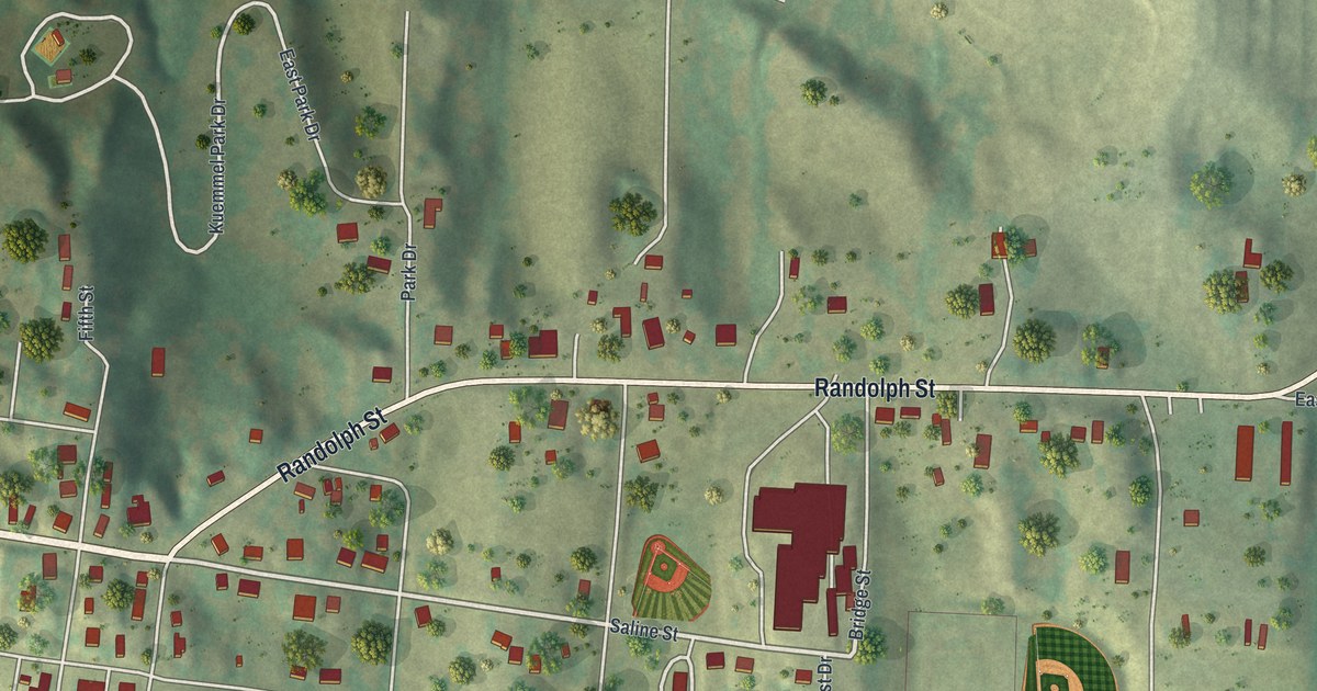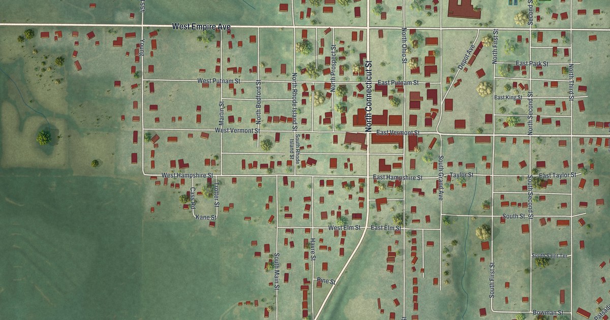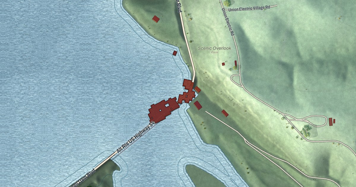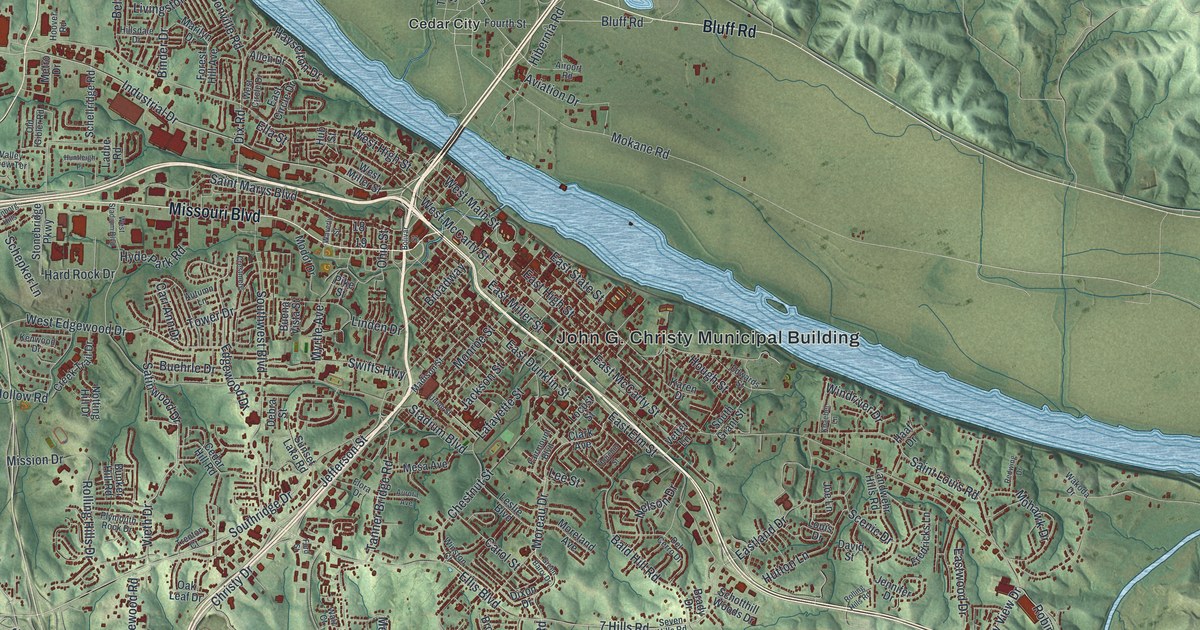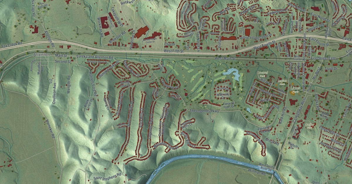
If you grew up in Eureka, this print gives you familiar streets to find. It's a modern aerial view made with modern data and a vintage feel, showing Eureka, Missouri, in St. Louis County. Red buildings fill the streets between green hills and broad blue river bends.
West Main Street and Eureka's Parks
On this map you'll find West Main Street, North Central Avenue, South Central Avenue, The Legends Parkway, Forby Road, Allenton, Drewel Park, Legion Park, Lions Park, Kircher Park, Hilltop Park, and more. Each red shape is a building, so zoom in on the preview and look for yours.
The historic Ramsay Place Names File records that Strodt and Shands of St. Louis laid out Eureka in 1858. On this view of today's town, you can pick out West Main Street and North Central Avenue. Small blocks and curving streets share the sheet with steep green hills and wide stretches of open land.
Keep Eureka and Allenton Close
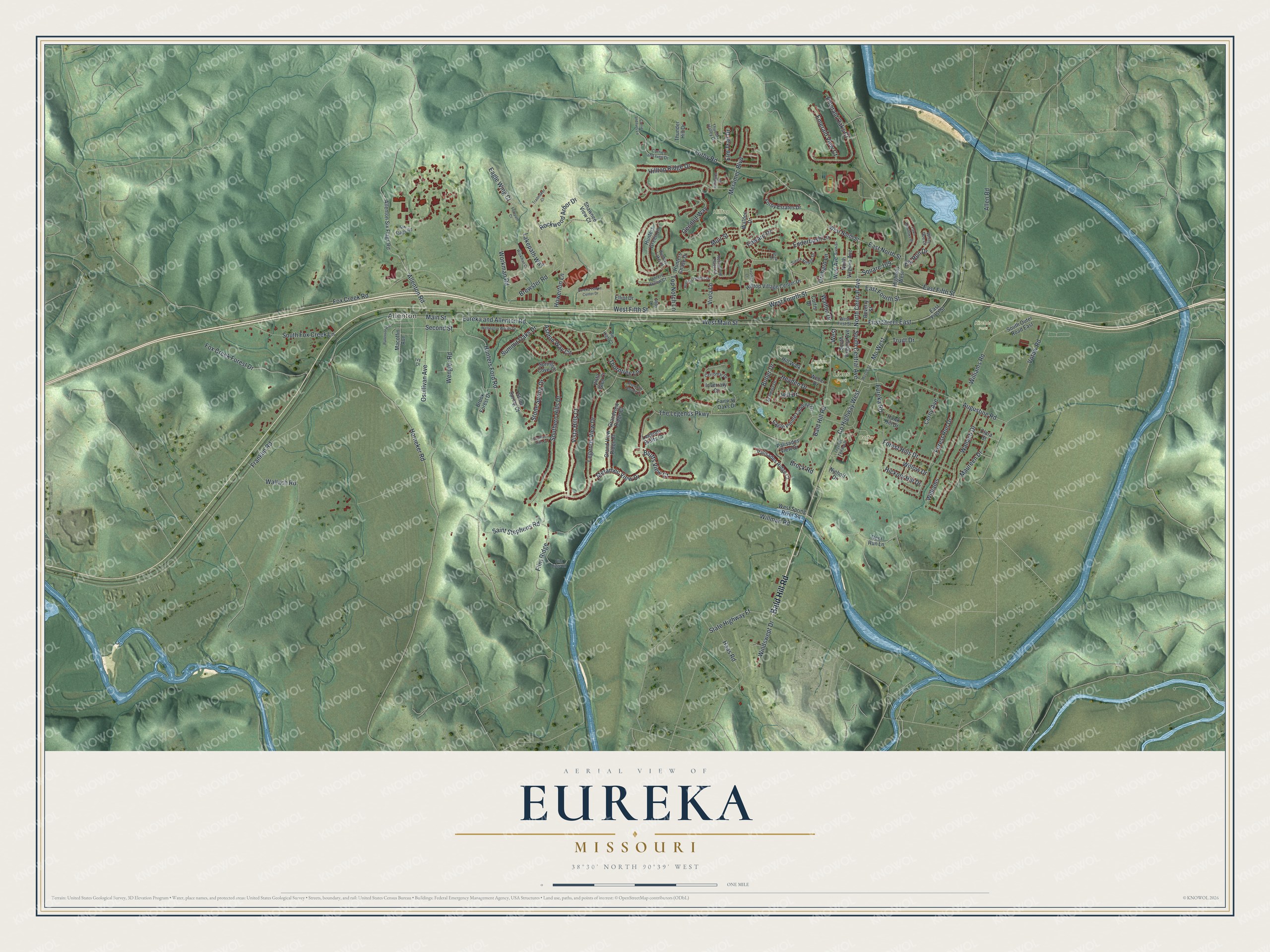
Created by KNOWOL in 2026, the print pairs shaded green hills with blue water and red buildings. A cream border surrounds the view. The title panel reads AERIAL VIEW OF EUREKA, MISSOURI, with 38°30' NORTH 90°39' WEST beneath it.
Hang it in a living room, home office, or entryway. It's a thoughtful gift for someone who grew up near Legion Park or moved away from Eureka. Open the preview and look for the streets that still feel like home. See sizes and frames for the Eureka map.