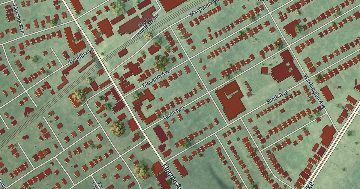
If you grew up in Prospect Park, look for your old block on this print. It's a modern aerial view of Prospect Park in Delaware County, Pennsylvania, made with modern data and a vintage feel. Red buildings fill the street grid, with green fields and blue water below.
Lincoln Avenue and Morton Homestead
On this map you'll find Chester Pike, Lincoln Avenue, Park Square, Witmer Memorial Field, Lazaretto Road, Pennsylvania Avenue, Madison Avenue, Prospect Avenue, Lafayette Avenue, Tenth Avenue, Ninth Avenue, Maryland Avenue, and more. Each red shape is a building, so zoom in on the preview and look for yours.
Lincoln Avenue is also a place to start with the town's early history. The state's Morton Homestead marker dates the home's start to about 1654. Morton Mortonson began it. He was an ancestor of John Morton, who signed the Declaration of Independence for Pennsylvania in 1776. The marker record places the site at 128 South Lincoln Avenue at Darby Creek in Prospect Park. On the print, you can pick out Lincoln Avenue where it crosses the blue water near the bottom.
Keep Prospect Park Close
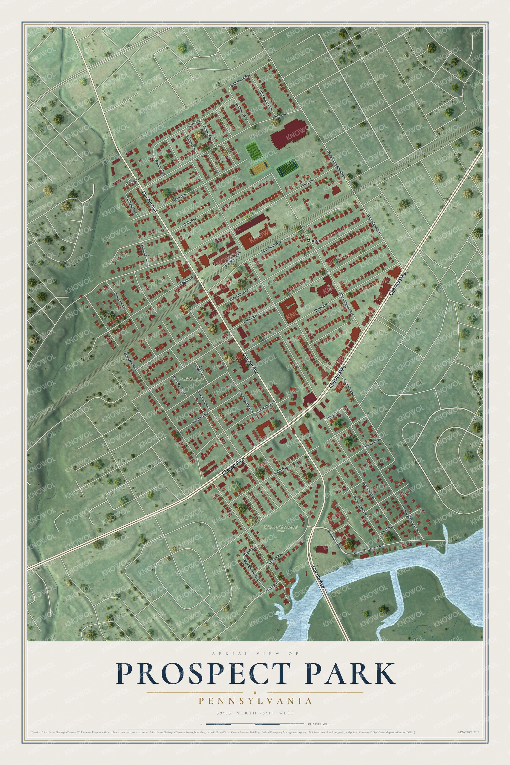
Created by KNOWOL in 2026, this print pairs soft green land with red buildings, pale roads and blue water. A cream border surrounds the view. The title panel reads AERIAL VIEW OF, PROSPECT PARK, PENNSYLVANIA, and 39°53' NORTH 75°19' WEST.
Hang it in a living room, home office or entryway. It's a gift for someone who grew up near Park Square and wants to keep home close. Open the preview and take a closer look at the blocks you know. See sizes and frames for the Prospect Park map.