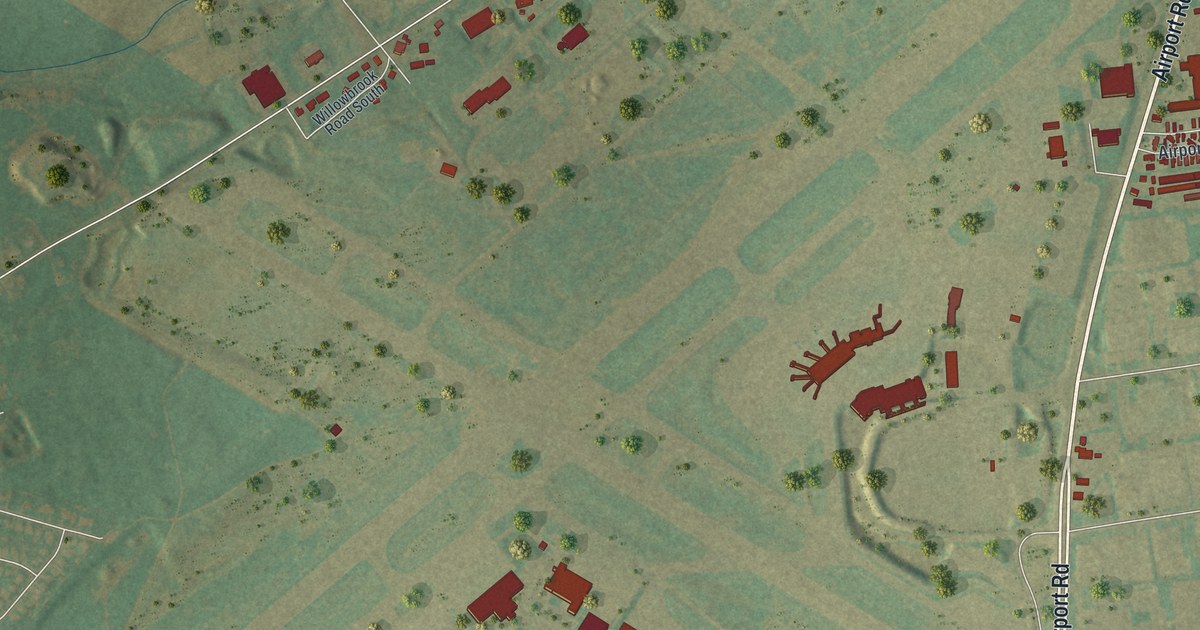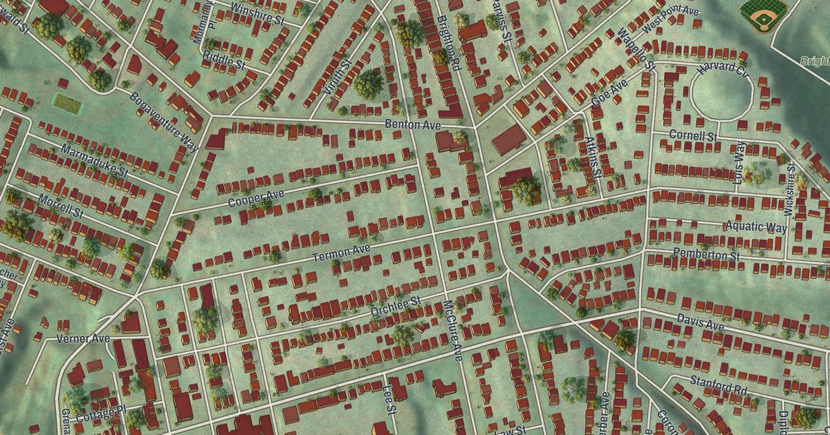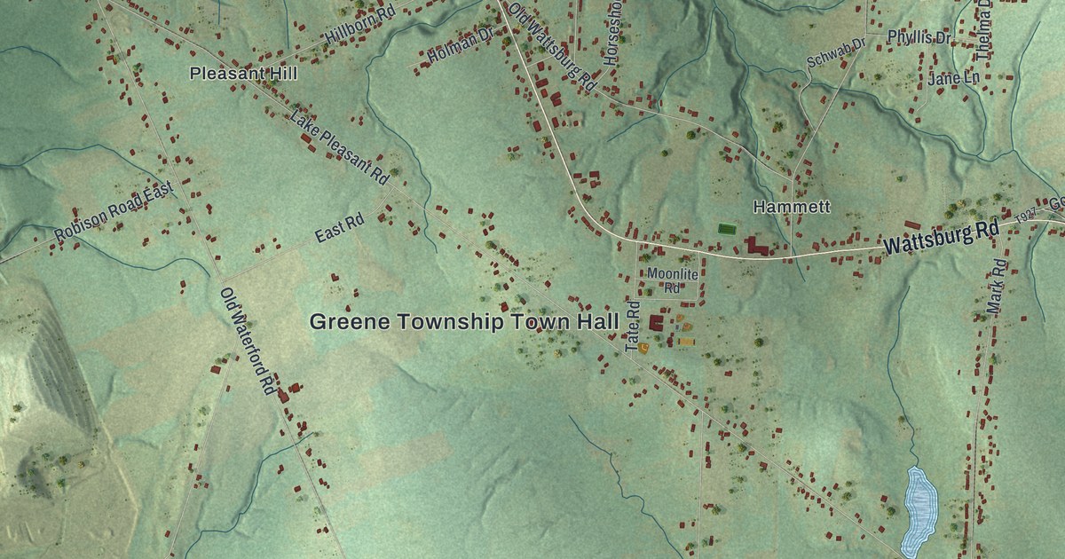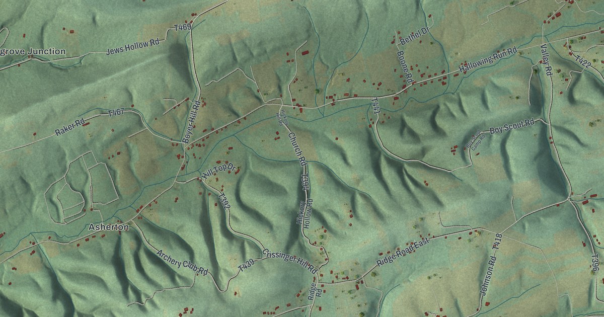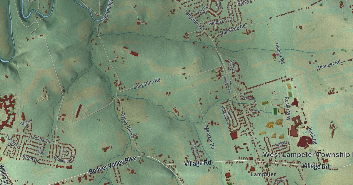
If you grew up in Willow Street or Lampeter, look for your old neighborhood here. This modern aerial view shows West Lampeter in Lancaster County, Pennsylvania, using modern data with a vintage feel. Red buildings gather along pale roads, with green fields between them. Blue waterways wind past the homes and farms.
Lampeter, Willow Street and Hans Herr Drive
On this map you'll find Willow Street Pike, Beaver Valley Pike, Lampeter Road, Village Road, Hans Herr Drive, Long Lane, Penn Grant Road, Pioneer Road, Lampeter, Willow Street, Lime Valley, Lyndon, and more. Each red shape is a building, so zoom in on the preview and look for yours.
Hans Herr Drive brings an early West Lampeter family into the view. The Herr House historical marker tells how Christian Herr built a stone house in 1719. His father, Hans Herr, founded the area's first Mennonite community in 1710. The house's National Register address is 1851 Hans Herr Drive. You can find that road's name among the fields on this map. It's a familiar local name with a story that reaches back three centuries.
Keep Willow Street and Lampeter Close
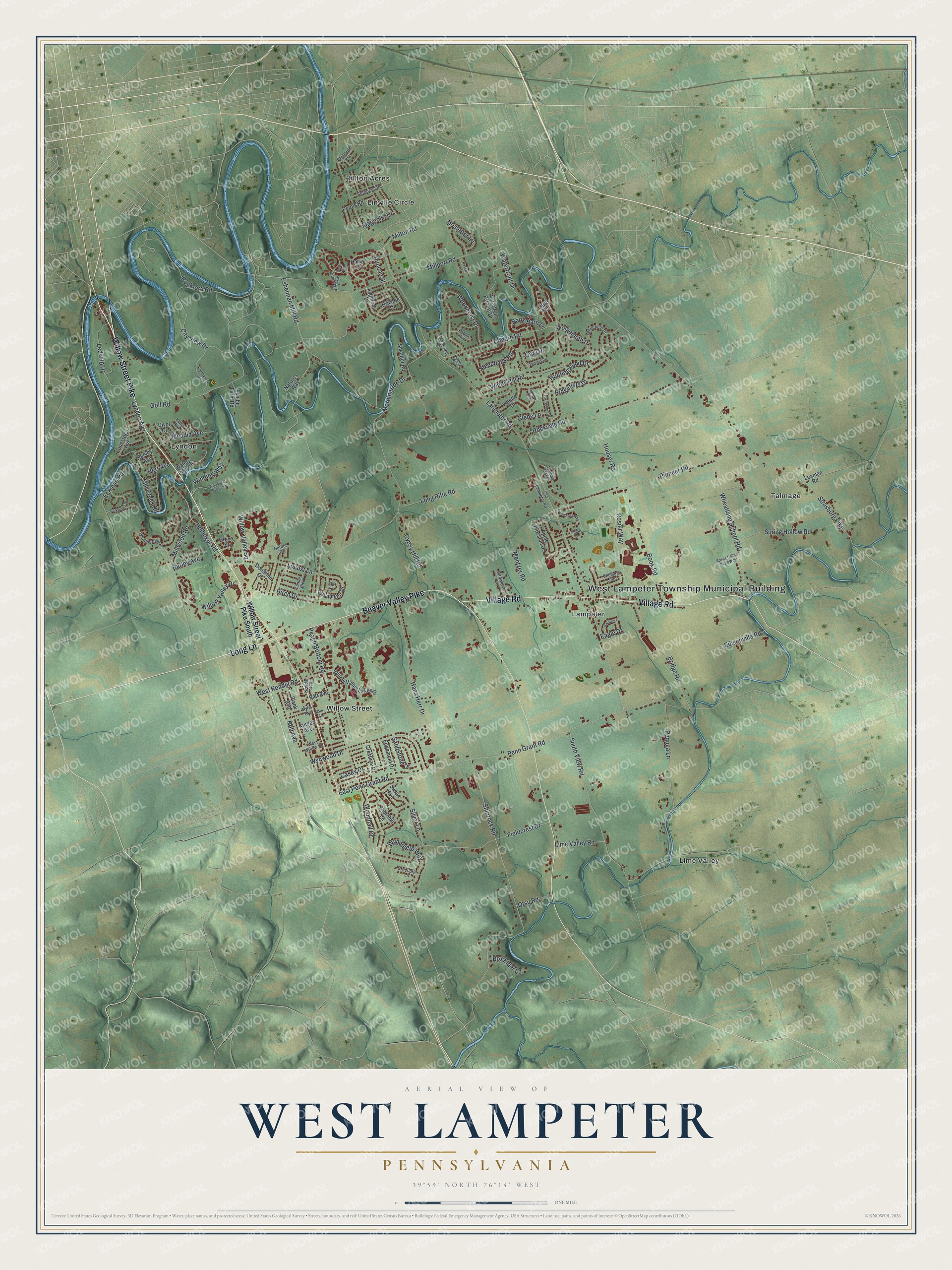
Created by KNOWOL in 2026, the print pairs muted green land with blue water and red buildings. A cream title panel and fine border frame the view. The panel reads AERIAL VIEW OF, WEST LAMPETER, PENNSYLVANIA, and 39°59' NORTH 76°14' WEST.
Hang it in a living room, office or entryway. It's a thoughtful gift for someone who grew up in Willow Street and moved away. Open the preview to find a familiar road and take a closer look at home. See sizes and frames for the West Lampeter map.