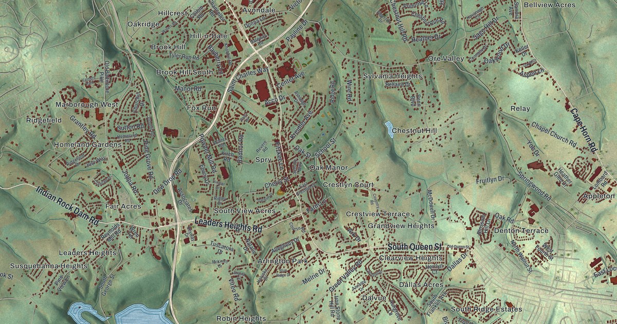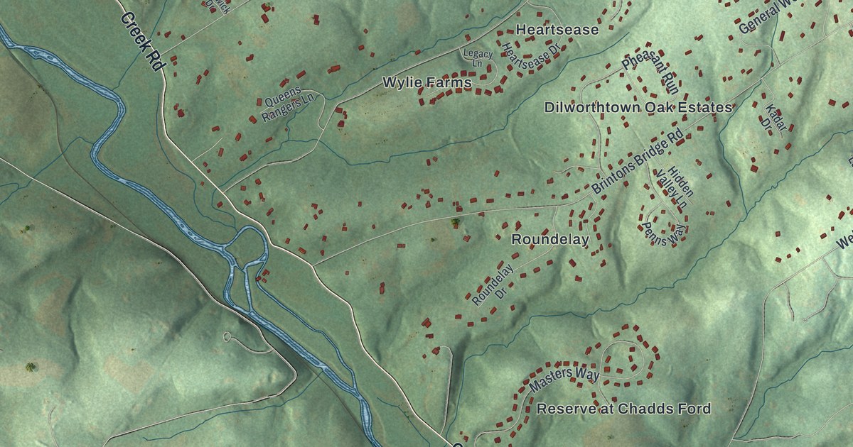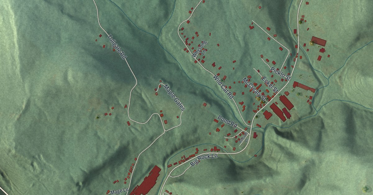
If you grew up in West Taylor, look for your family's road. This modern aerial view shows West Taylor in Cambria County, Pennsylvania, using modern data with a vintage feel. Green ridges fill much of the print. Red buildings dot the hills, and a blue river curves through the valley.
Cramer Pike, Cooper Avenue and West Taylor's Start
On this map you'll find Cramer Pike, Cooper Avenue, Iron Street, Dishong Road, Tollgate Road, Cardiff Street, Wild Cat Road, Naylor Road, Prosser Hollow Road, Benshoff Hill Road, Gallitzin State Forest, and more. Each red shape is a building, so zoom in on the preview and look for yours.
The West Taylor name in the title panel has a clear starting date. The 1907 History of Cambria County, Pennsylvania dates the township to June 2, 1884. That's when Taylor Township split into East and West Taylor. The older township took its name from Judge George Taylor. Today's map gives that old name a familiar setting: wooded hills, scattered homes and the roads between them.
Keep West Taylor Close
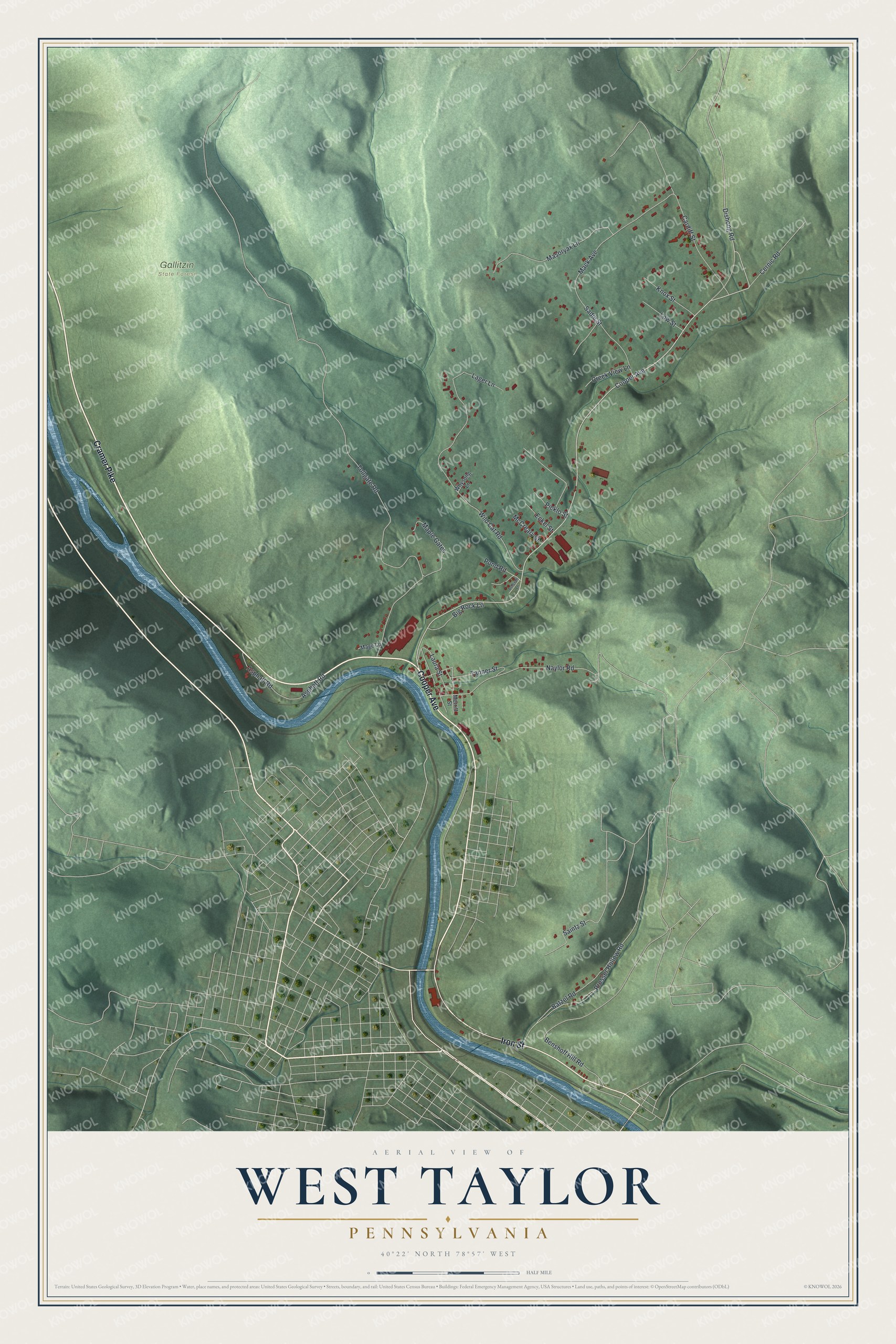
Created by KNOWOL in 2026, the print pairs shaded green hills with blue water, red buildings and fine pale roads. A cream border surrounds the view. The title panel reads AERIAL VIEW OF, WEST TAYLOR, PENNSYLVANIA, with 40°22' NORTH 78°57' WEST below.
Hang it in a living room, home office or entryway. It's a thoughtful gift for someone with family along Cooper Avenue. Open the preview and take a closer look at the streets and hills you know. See sizes and frames for the West Taylor map.