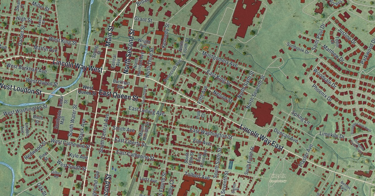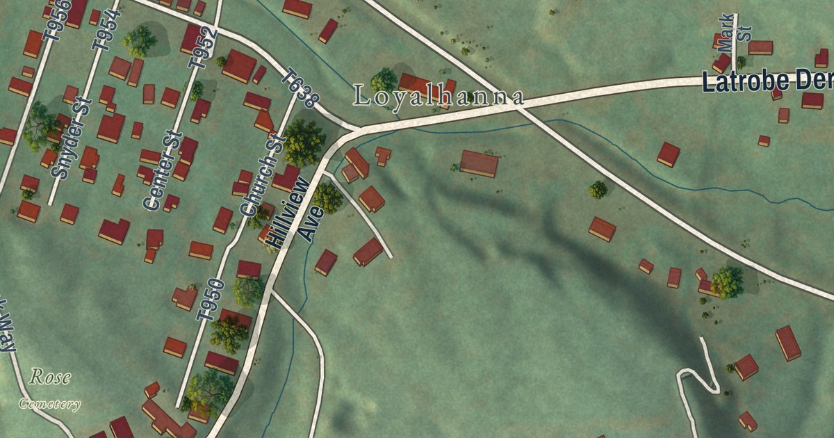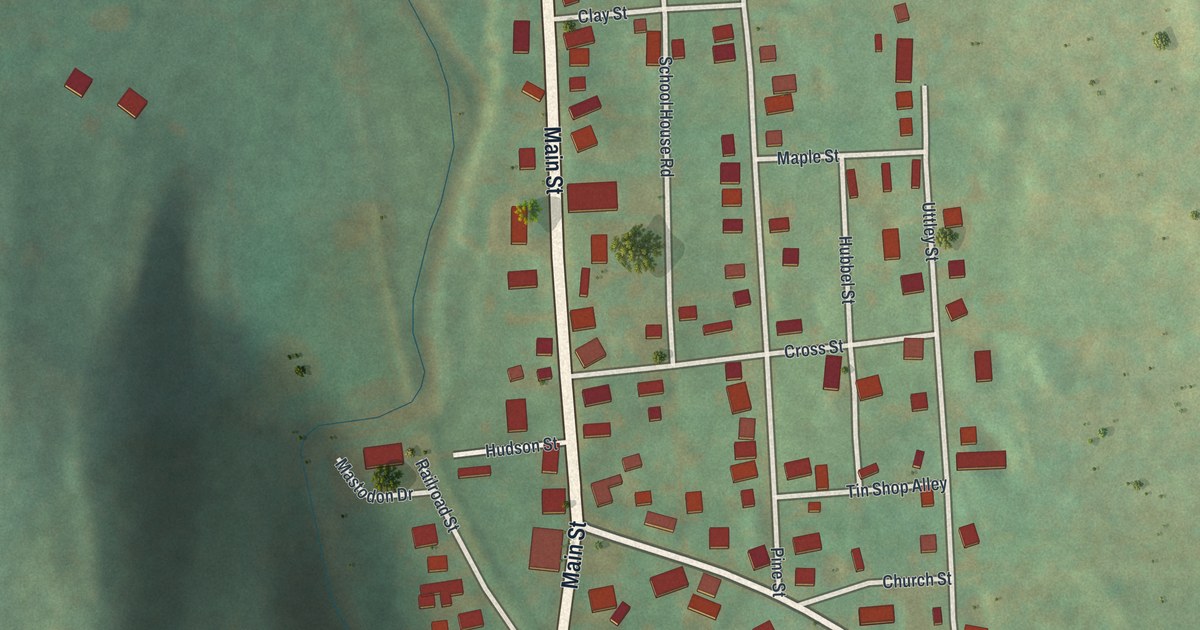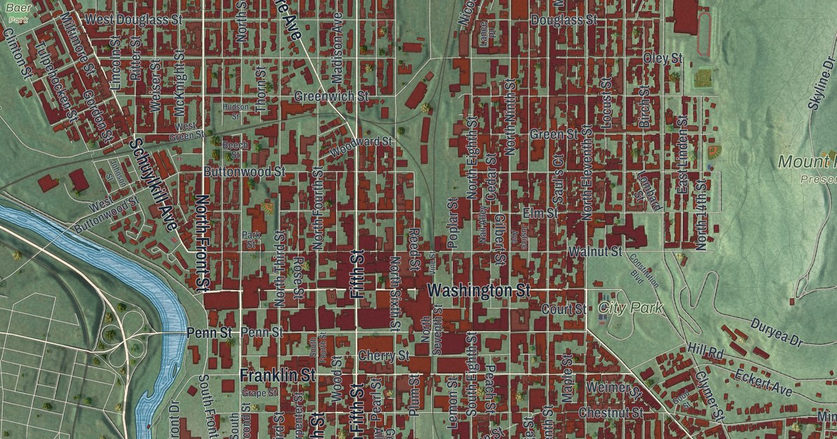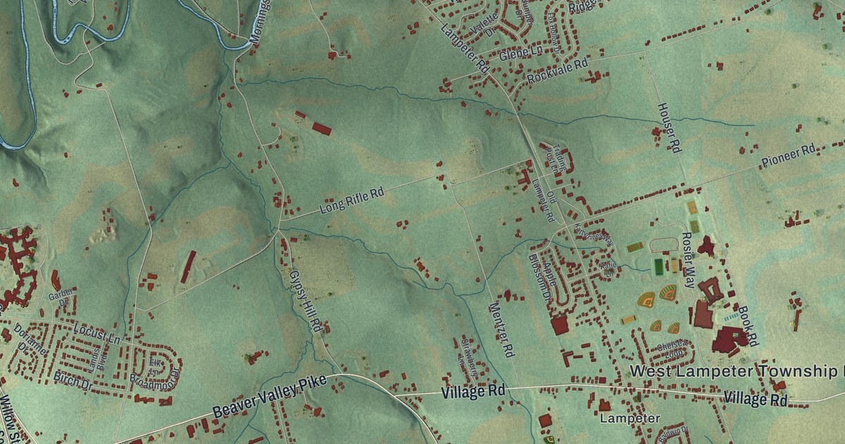
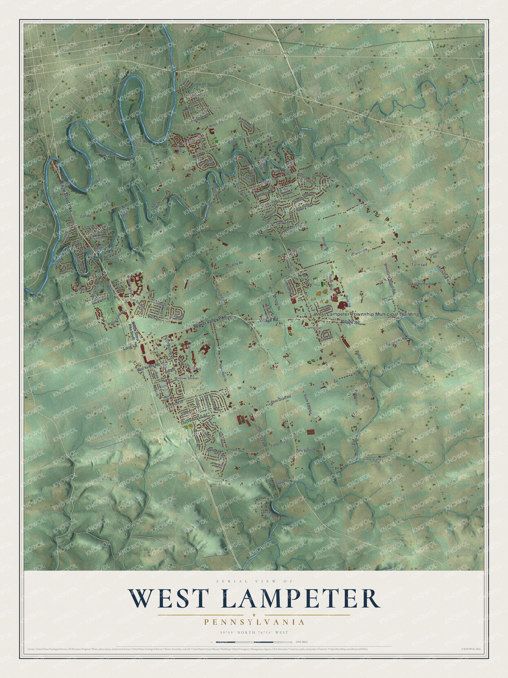
This beautifully detailed map of West Lampeter, Pennsylvania was created in 2026 using aerial imagery combined with modern topographical, census, street and landmark data. It’s a one-of-a-kind view of West Lampeter that combines accurate data with a vintage aesthetic. The map shows every building in its true location, many of the roads carry their names, and the shaded topographic relief shows the shape of the land.
Explore an aerial view of West Lampeter, Pennsylvania
On the map you’ll find West Lampeter Township Municipal Building, Hilltop Acres, Lampeter, Lime Valley, Lyndon, and Talmage, along with Linville Circle, Willow Street, Willow Street Pike, Long Lane, Beaver Valley Pike, Village Road, and more. If you look closely you can even find your house accurately drawn in its correct location. Zoom in on the preview to look for yours.
Did you know this piece of West Lampeter, Pennsylvania history?
From Uncharted Lancaster: "Lampeter was one of the county’s first areas to be settled when groups of Swiss Mennonite refugees fleeing religious persecution arrived here in 1710."
Take a closer look at the West Lampeter map
Street and place names on the West Lampeter, Pennsylvania map
These names are printed on the map of West Lampeter, Pennsylvania.
Places: West Lampeter Township Municipal Building, Hilltop Acres, Lampeter, Lime Valley, Linville Circle, Lyndon, Talmage, Willow Street and River Bend Park.
Streets and roads: Willow Street Pike, Long Lane, Beaver Valley Pike, Village Road, Eshelman Mill Road, Peach Bottom Road, Woodhall Drive, Duncan Street, Shiprock Road, Hollinger Road, West Kendig Road, Locust Lane.
More street names, A to Z
Apple Blossom Drive, Baldwin Drive, Bank Barn Lane, Barley Avenue, Batt Avenue, Birch Drive, Book Road, Box Elder Lane, Braxton Drive, Bridge Road, Broadmoor Drive, Buttercup Road, Casey Drive, Chelsea Loop, City View Drive, Conard Road, Conestoga Avenue, Creekwood Drive, Crestline Drive, Divot Court, Dorianne Drive, Eagle Drive, East Penn Grant Road, Eckman Road, Edgemont Drive, Edisonville Road, Elk Lane, Evans Avenue, Exhibit Farm Road, Farmview Drive, Fieldcrest Drive, Fox Hollow Drive, Garber Drive, Gary Drive, Glebe Lane, Golf Road, Greenbrier Lane, Grove Street, Gypsy Hill Road, Hans Herr Drive, Hardy Court, Harvey Avenue, Herr Avenue, Hostetter Lane, Houser Road, Huntingwood Drive, Juniper Drive, Katherines Way, Katie Lane, Kinder Avenue, Kreider Avenue, Lampeter Road, Landis Boulevard, Leaman Road, Ledwith Drive, Lightfoot Drive, Lime Valley Road, Little Hill, Long Rifle Road, Lyndon Avenue, Magnolia Drive, Main Street, Meadia Avenue, Mentzer Road, Mill Creek Road, Millport Road, Millwood Road, Milton Road, Morningside Drive, Mylin Avenue, Natures Way, Nolt Avenue, Old Lampeter Road, Otsu Road, Park Circle, Parkwood Drive, Pebble Run, Penn Grant Road, Peony Road, Pequea Lane, Pioneer Road, Plank Avenue, Plymouth Avenue, Putter Avenue, Resch Lane, Ridgefield Drive, Rockford Road, Rockvale Road, Rosier Way, Sandstone Drive, Sheaffer Road, Silver Lane, South View Road, Spring Hollow Road, Spring Hollow Road West, Steepbank Road, Strasburg Pike, Strawberry Lane, Susan Avenue, Thomas Road, Thornhill Lane, Trading Post Lane, Valette Drive, Waterfront Drive, Waterfront Estates Drive, Waters Edge Drive, Weatherfield Place, West Willow Road, Wheatland School Road, Whitefield Drive, Willow Street Pike South, Willow Valley Drive, Willow Valley Lakes Drive, Willow Valley Square, Winding Way, Windy Hill Road, Wolgemuth Drive, Woodcrest Drive, Woodfield Crossing, Wyndmere Way, Wynwood Drive.
See the West Lampeter, Pennsylvania map on a wall
The West Lampeter map as an 18 x 24 inch print in a black frame.

This beautifully detailed map of West Lampeter makes an attractive addition to your office, library, or den, and it can even be used to teach children the geography and history of the area. It also makes a great gift for anyone with West Lampeter roots. When you’re done exploring, click here to get your copy of the West Lampeter map.