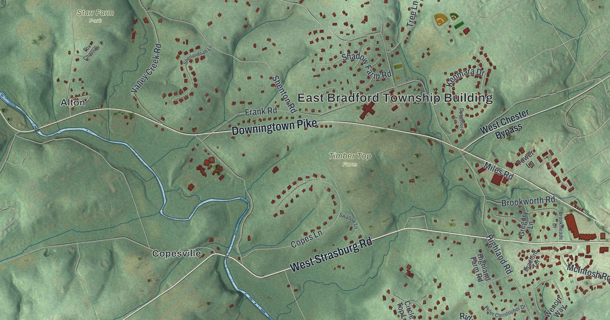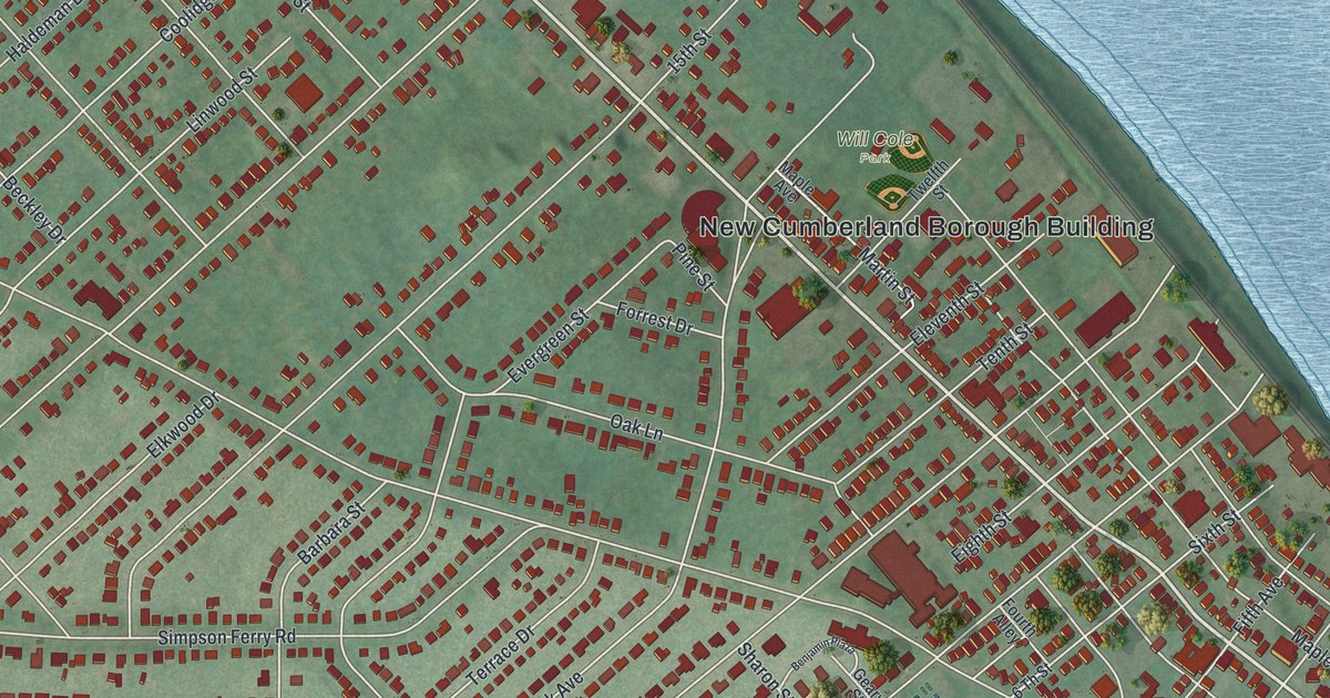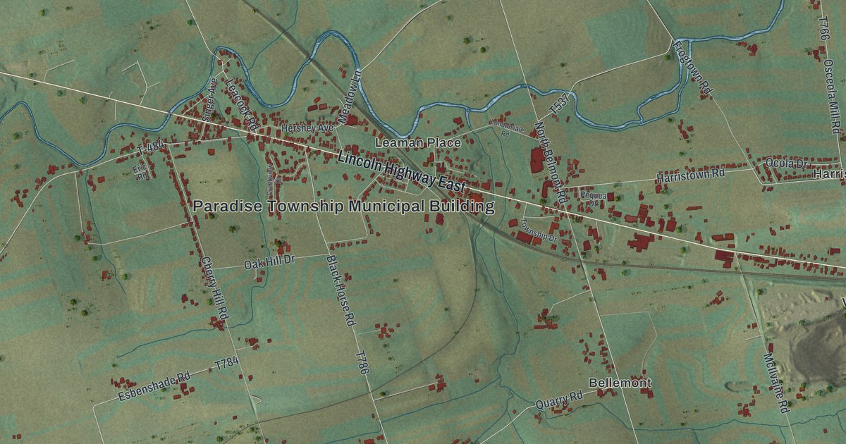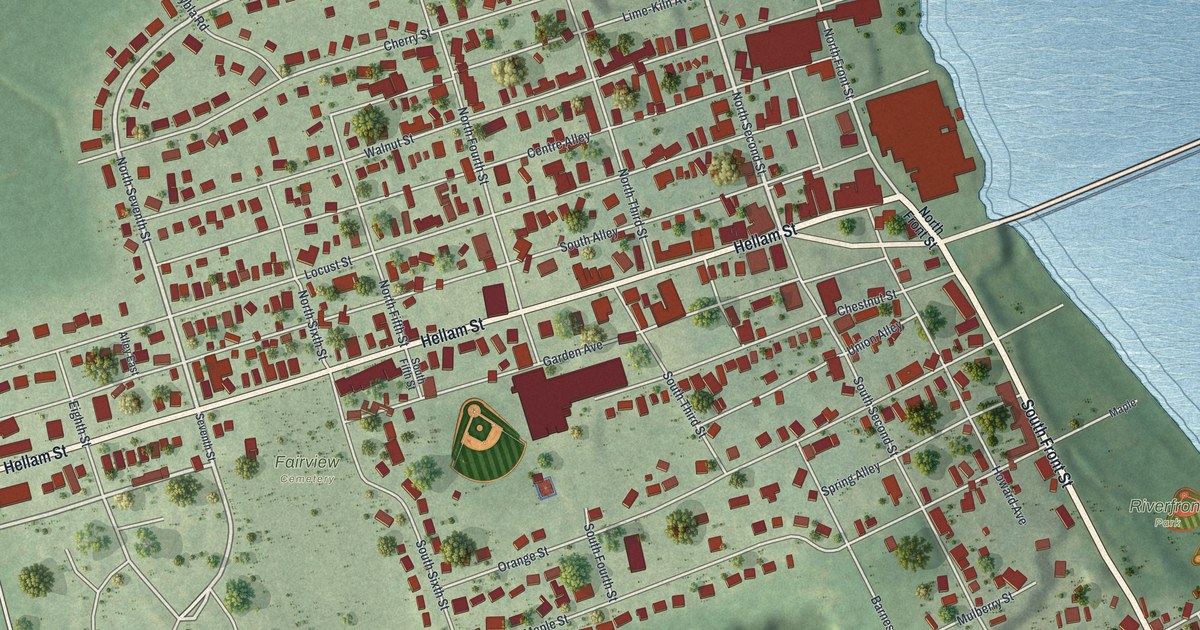
If you grew up in Wrightsville, look for your old block here. This modern aerial view of Wrightsville in York County, Pennsylvania pairs modern data with a vintage feel. Red buildings line the streets beside a broad blue river. Green ground, ball fields, and small yards fill out the view.
Wrightsville and the 1863 bridge fire
On this map you'll find Hellam Street, South Front Street, North Front Street, Riverfront Park, Fairview Cemetery, Walnut Street, Locust Street, Chestnut Street, Vine Street, Orange Street, Maple Street, and more. Each red shape is a building, so zoom in on the preview and look for yours.
The Gettysburg Campaign marker tells Wrightsville's bridge story. Confederate troops reached town on June 28, 1863. General Early had sent them from York to cross the river. Their orders were to march on Harrisburg. U.S. militia pulled back and set the bridge on fire. That fire blocked the Southern advance beyond the river. On the map, the broad blue water beside North Front Street helps you picture the barrier those troops faced. Today's streets and buildings sit close to that same riverbank.
Keep Wrightsville's riverfront close
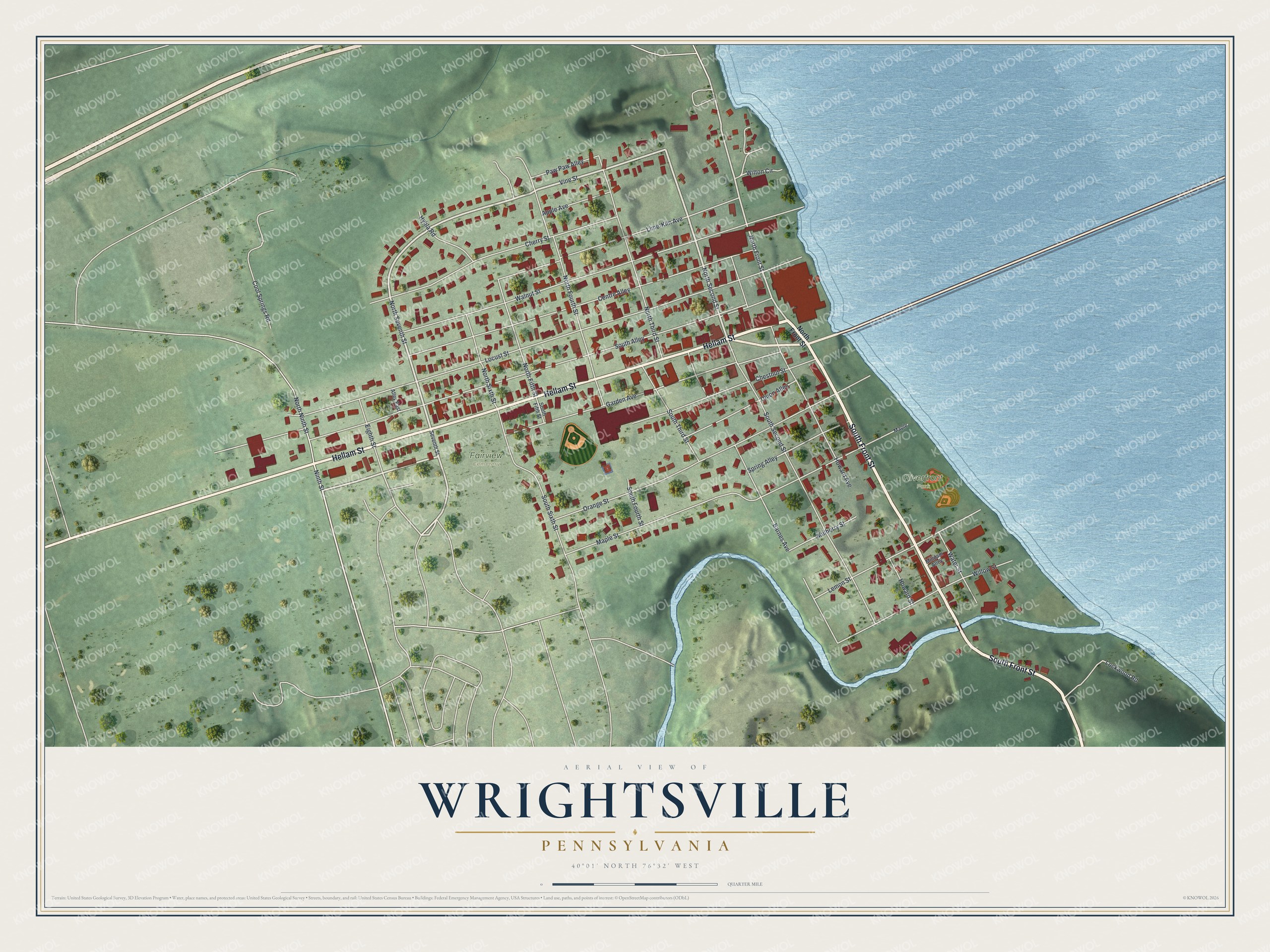
Created by KNOWOL in 2026, this print pairs red buildings with soft green land and blue water. A cream border surrounds the view. The title panel reads AERIAL VIEW OF WRIGHTSVILLE, PENNSYLVANIA, with 40°01' NORTH 76°32' WEST below.
It's a good fit for a living room, home office, or entryway. Give it to someone with roots near Hellam Street who now lives away. Open the preview to find a familiar block and take a closer look. See sizes and frames for the Wrightsville map.